Bavinge Wood

Wood, Forest in Kent Canterbury

England

Bavinge Wood

Field near Frogs Hall A public footpath from the foreground gate goes to and through Cox Hill Wood at the far side of the field.
Field near Frogs Hall Credit: Robin Webster

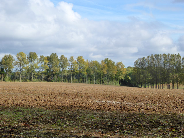
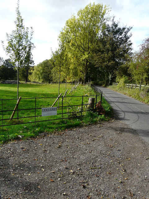
Bavinge Wood is a picturesque woodland located in the county of Kent, England. This beautiful forest covers an area of approximately 300 acres and is situated near the village of Bavinge.

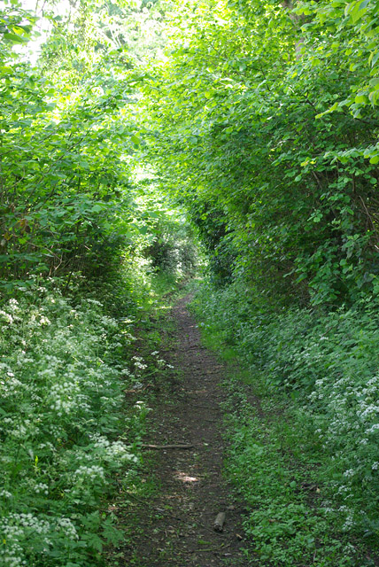
The wood is primarily composed of native broadleaf trees, such as oak, ash, and beech, which create a dense canopy overhead. These trees provide a habitat for a wide variety of wildlife, including birds, squirrels, and deer, making Bavinge Wood a popular spot for nature enthusiasts and birdwatchers.

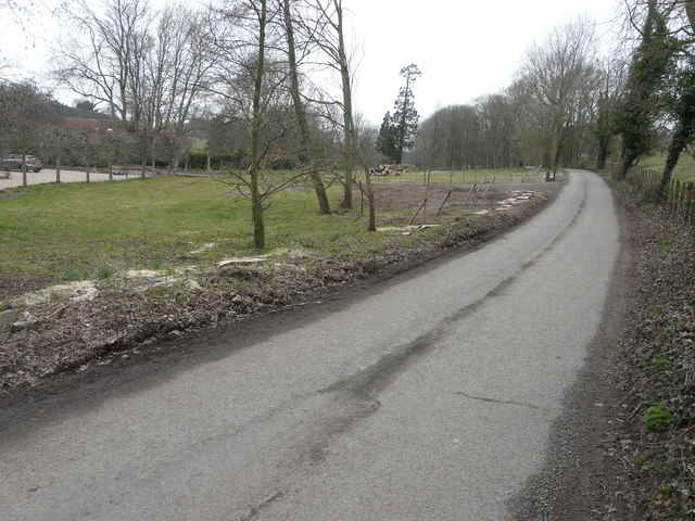
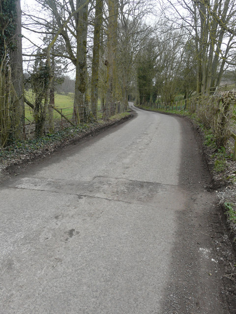
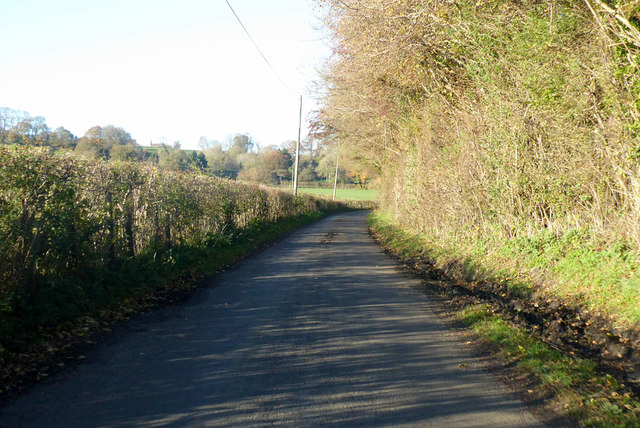
The woodland is crisscrossed by a network of well-maintained footpaths, allowing visitors to explore and appreciate the natural beauty of the area. These paths wind through the forest, leading visitors to hidden glades, babbling brooks, and peaceful ponds. There are also several picnic areas dotted throughout the wood, providing a perfect spot for visitors to relax and enjoy the tranquil surroundings.

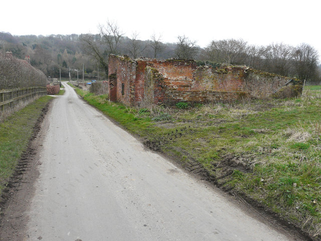
Bavinge Wood is not only a haven for wildlife but also has a rich historical significance. The woodland has been a part of the local landscape for centuries and was once used as a royal hunting ground. Today, remnants of this history can be seen in the form of old boundary walls and ditches, adding an extra layer of intrigue to the wood.

Overall, Bavinge Wood offers a peaceful retreat from the hustle and bustle of everyday life. With its diverse flora and fauna, well-maintained trails, and historical charm, it is a true gem for nature lovers and history enthusiasts alike.

If you have any feedback on the listing, please let us know in the comments section below.
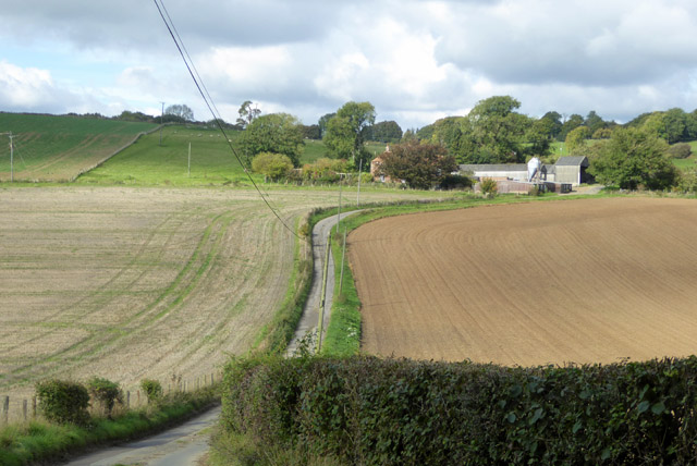
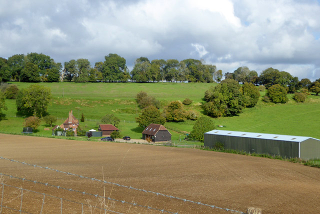
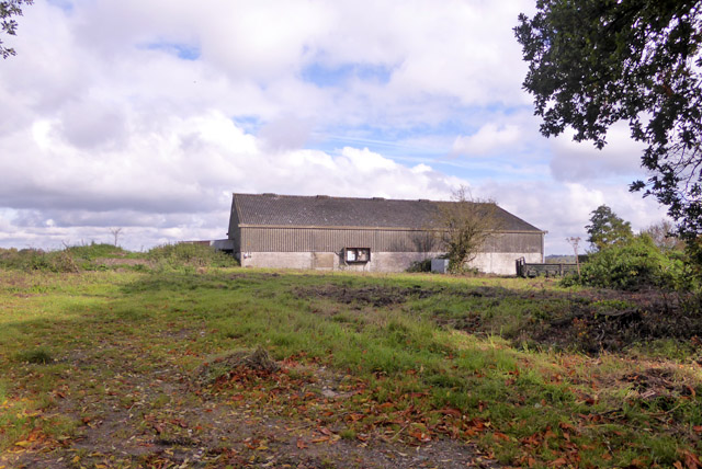
Bavinge Wood Images

Images are sourced within 2km of 51.184051/1.0119923 or Grid Reference TR1047. Thanks to Geograph Open Source API. All images are credited.

Field near Frogs Hall A public footpath from the foreground gate goes to and through Cox Hill Wood at the far side of the field.
Field near Frogs Hall
A public footpath from the foreground gate goes to and through Cox Hill Wood at the far side of the field.
Field between Frogs Hall and Yew Tree Farm Looking towards Yew Tree Farm.
Field between Frogs Hall and Yew Tree Farm
Looking towards Yew Tree Farm.
Bridleway running south from Whiteacre Lane
Whiteacre Lane Heading nowhere in particular, but serving rural premises such as Whiteacre Farm.
Whiteacre Lane
Heading nowhere in particular, but serving rural premises such as Whiteacre Farm.
Lane towards Great Holt Farm And onwards to Bodsham.
Lane towards Great Holt Farm
And onwards to Bodsham.
Little Holt Farm Reached via a drive off the public road at Great Holt Farm.
Little Holt Farm
Reached via a drive off the public road at Great Holt Farm.
Barn, Bodsham Apparently on its own plot.
Barn, Bodsham
Apparently on its own plot.
Farmland east of Shrubs Wood Hedgerow wind break trees suggest there were once orchards or hops here.
Farmland east of Shrubs Wood
Hedgerow wind break trees suggest there were once orchards or hops here.
Road to Grandacre Farm
Ruin opposite Yockletts Farm Presumably once some sort of farm building. Maps indicate it has a benchmark on the side facing the road.
Ruin opposite Yockletts Farm
Presumably once some sort of farm building. Maps indicate it has a benchmark on the side facing the road.
Newly planted trees beside a lane A row of crack willows (salix fragilis), which were planted immediately beside the lane, has been cut down and their trunks and branches stacked further back from the lane. A row of young trees has been planted behind the stumps.
Newly planted trees beside a lane
A row of crack willows (salix fragilis), which were planted immediately beside the lane, has been cut down and their trunks and branches stacked further back from the lane. A row of young trees has been planted behind the stumps.
Trees along a lane The trees, on the left, are crack willows (salix fragilis) and are located just round the bend in the image showing <a href="https://www.geograph.org.uk/photo/5730050">TR1045 : Newly planted trees beside a lane</a>. It is possible that the other trees were cut down, so that a new fence might be installed further back from the lane’s edge, as this one is a continuation of the old fence.
Trees along a lane
The trees, on the left, are crack willows (salix fragilis) and are located just round the bend in the image showing TR1045 : Newly planted trees beside a lane. It is possible that the other trees were cut down, so that a new fence might be installed further back from the lane’s edge, as this one is a continuation of the old fence.
Derelict farm building, Church Lane A similar image of the <a href="https://www.geograph.org.uk/photo/5563948">TR1247 : Ruin opposite Yockletts Farm</a>. This image of this <a href="https://www.geograph.org.uk/photo/1194754">TR1247 : Derelict building on Church Lane</a> shows how much it has deteriorated over the years.
Derelict farm building, Church Lane
A similar image of the TR1247 : Ruin opposite Yockletts Farm. This image of this TR1247 : Derelict building on Church Lane shows how much it has deteriorated over the years.
Row of trees beside a lane Seven months ago, they were <a href="https://www.geograph.org.uk/photo/5730050">TR1045 : Newly planted trees beside a lane</a> but now they are in leaf and a new fence has been installed.
Row of trees beside a lane
Seven months ago, they were TR1045 : Newly planted trees beside a lane but now they are in leaf and a new fence has been installed.
Junction of Woods Hill and Whiteacre Lane Heading towards Waltham.
Junction of Woods Hill and Whiteacre Lane
Heading towards Waltham.
Lane north from Dean Farm Towards Little Bucket Farm and Yockletts Farm.
Lane north from Dean Farm
Towards Little Bucket Farm and Yockletts Farm.
Church Lane, towards Waltham The sign announcing the village it just visible ahead.
Church Lane, towards Waltham
The sign announcing the village it just visible ahead.
Kake Street, Waltham Whence Kake?
Kake Street, Waltham
Whence Kake?
Show me another place!

Bavinge Wood is located at Grid Ref: TR1047 (Lat: 51.184051, Lng: 1.0119923)

Administrative County: Kent

District: Canterbury

Police Authority: Kent

What 3 Words

///vest.shepherdess.maple. Near Wye, Kent

Related Wikis

Shrub's Wood Long Barrow

Shrub's Wood Long Barrow is an unchambered long barrow located near to the village of Elmsted in the south-eastern English county of Kent. It was probably...

Park Gate Down

Park Gate Down or Parkgate Down is a 7-hectare (17-acre) biological Site of Special Scientific Interest south-east of Stelling Minnis in Kent. It is also...

Waltham, Kent

Waltham is a village and civil parish 7 miles (11 km) southwest of Canterbury in Kent, England. == History == The village was once associated with the...

Yockletts Bank

Yockletts Bank is a 25.4-hectare (63-acre) biological Site of Special Scientific Interest west of Stelling Minnis in Kent. It is managed by KWT and is...

Spong Wood

Spong Wood is a 18-hectare (44-acre) nature reserve west of Stelling Minnis in Kent. It is managed by Kent Wildlife Trust.Common trees in this coppiced...

Hastingleigh

Hastingleigh is a small civil parish centred on an escarpment of the Kent Downs. The parish is three miles east of Wye and ten miles south of Canterbury...

Elmsted

Elmsted is a village and civil parish in the Folkestone and Hythe District of Kent, England. It is located west of Stone Street (the B2068), the Roman...

Anvil Green

Anvil Green is a small settlement located near Waltham in Kent, England, about nine miles (14.4 km) north east of Ashford. == External links == Media...

Nearby Amenities

Located within 500m of 51.184051,1.0119923
The data included in this document is from www.openstreetmap.org. The data is made available under ODbL.

Have you been to Bavinge Wood?

Leave your review of Bavinge Wood below (or comments, questions and feedback).