Partridge Wood
Wood, Forest in Kent Canterbury
England
Partridge Wood

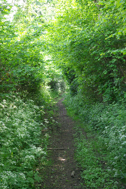
Partridge Wood is a picturesque woodland located in the county of Kent, England. Covering an area of approximately 100 hectares, it is nestled within the wider Blean Woods complex, which is known for its rich biodiversity and ancient woodland heritage. Partridge Wood is predominantly made up of broadleaved trees, including oak, beech, and birch, which create a diverse and vibrant ecosystem.
The wood is renowned for its tranquil atmosphere and is a popular destination for nature lovers and outdoor enthusiasts. It offers a network of well-maintained walking trails, allowing visitors to explore the woodland's natural beauty and discover its hidden gems. The trails wind through the trees, offering glimpses of wildlife and providing opportunities for birdwatching, with species such as great spotted woodpeckers, nuthatches, and treecreepers often spotted in the area.
Partridge Wood is also home to a variety of woodland flora, including bluebells, wood anemones, and wild garlic, which create a stunning display of colors during the spring months. The wood's diverse ecosystem supports a wide range of wildlife, including deer, foxes, badgers, and a variety of bird species.
Managed by a local conservation organization, Partridge Wood is carefully protected to maintain its natural integrity. The woodland is open to the public year-round and is a popular spot for picnics, nature walks, and educational activities. It offers a peaceful retreat from the hustle and bustle of everyday life, providing visitors with a chance to connect with nature and appreciate the beauty of Kent's woodlands.
If you have any feedback on the listing, please let us know in the comments section below.
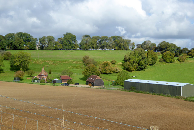
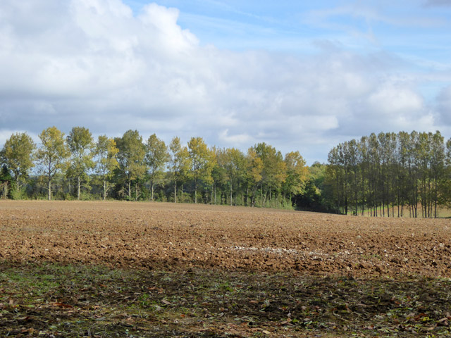
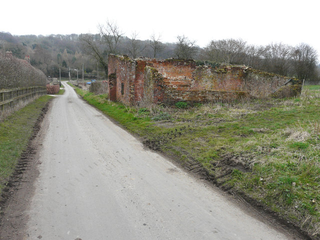
Partridge Wood Images
Images are sourced within 2km of 51.191406/1.0142184 or Grid Reference TR1047. Thanks to Geograph Open Source API. All images are credited.


Partridge Wood is located at Grid Ref: TR1047 (Lat: 51.191406, Lng: 1.0142184)
Administrative County: Kent
District: Canterbury
Police Authority: Kent
What 3 Words
///moats.graver.thrusters. Near Wye, Kent
Nearby Locations
Related Wikis

Waltham, Kent
Waltham is a village and civil parish 7 miles (11 km) southwest of Canterbury in Kent, England. == History == The village was once associated with the...

Anvil Green
Anvil Green is a small settlement located near Waltham in Kent, England, about nine miles (14.4 km) north east of Ashford. == External links == Media...

Yockletts Bank
Yockletts Bank is a 25.4-hectare (63-acre) biological Site of Special Scientific Interest west of Stelling Minnis in Kent. It is managed by KWT and is...

Shrub's Wood Long Barrow
Shrub's Wood Long Barrow is an unchambered long barrow located near to the village of Elmsted in the south-eastern English county of Kent. It was probably...

Park Gate Down
Park Gate Down or Parkgate Down is a 7-hectare (17-acre) biological Site of Special Scientific Interest south-east of Stelling Minnis in Kent. It is also...

Spong Wood
Spong Wood is a 18-hectare (44-acre) nature reserve west of Stelling Minnis in Kent. It is managed by Kent Wildlife Trust.Common trees in this coppiced...

Hastingleigh
Hastingleigh is a small civil parish centred on an escarpment of the Kent Downs. The parish is three miles east of Wye and ten miles south of Canterbury...

Elmsted
Elmsted is a village and civil parish in the Folkestone and Hythe District of Kent, England. It is located west of Stone Street (the B2068), the Roman...
Nearby Amenities
Located within 500m of 51.191406,1.0142184Have you been to Partridge Wood?
Leave your review of Partridge Wood below (or comments, questions and feedback).