Oak Plantation
Wood, Forest in Norfolk South Norfolk
England
Oak Plantation
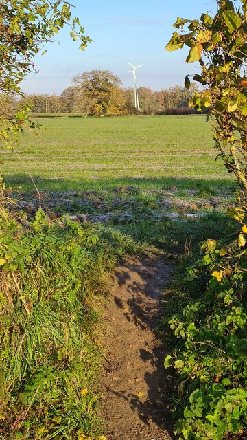
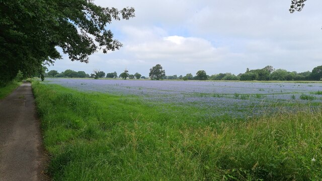
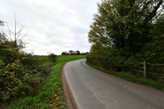
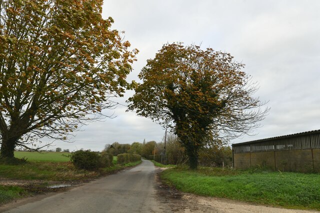
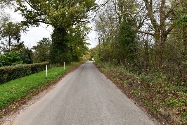
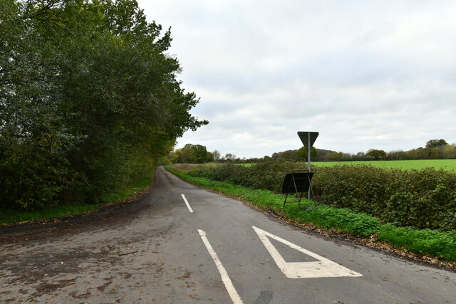
Oak Plantation, located in Norfolk, is a majestic woodland area renowned for its abundant growth of oak trees. Spanning over a vast expanse, the plantation offers a serene and tranquil environment for nature enthusiasts and hikers alike. The forest is situated in a secluded area, away from the hustle and bustle of the city, providing an escape into nature's lap.
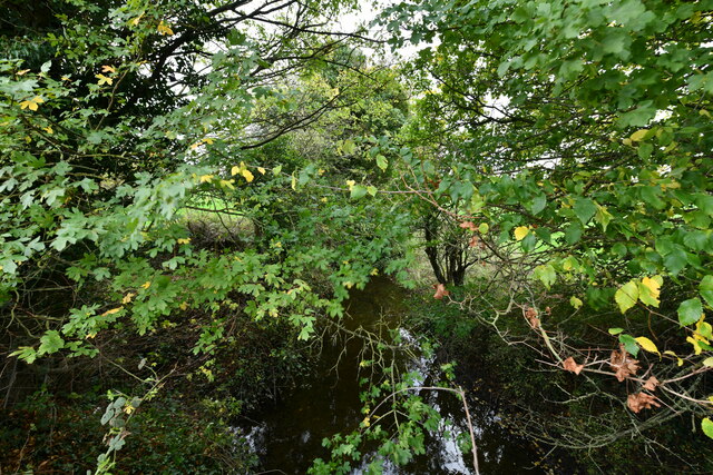
The plantation boasts a diverse ecosystem with a variety of flora and fauna. The dominant oak trees, with their towering heights and sprawling branches, create a breathtaking canopy that blankets the forest floor. The leaves of these majestic trees change color with the seasons, displaying a stunning array of autumnal hues. In spring, the plantation comes alive with vibrant blossoms, infusing the air with a sweet fragrance.
Oak Plantation is home to an array of wildlife species. Squirrels scurry around, gathering acorns, while birds flutter from tree to tree, singing melodious tunes. The forest also provides a habitat for deer, foxes, and other small mammals, adding to its biodiversity.
The plantation offers numerous trails for visitors to explore. These well-maintained paths wind through the forest, allowing hikers to immerse themselves in the natural beauty and tranquility of the surroundings. Along the way, visitors can spot wildflowers, mushrooms, and various species of birds.
Oak Plantation is not only a haven for nature lovers but also serves as an educational resource. It provides an opportunity for researchers and students to study the ecosystem and its inhabitants. The plantation's natural charm and serene ambiance make it an ideal destination for those seeking solace in the lap of nature.
If you have any feedback on the listing, please let us know in the comments section below.
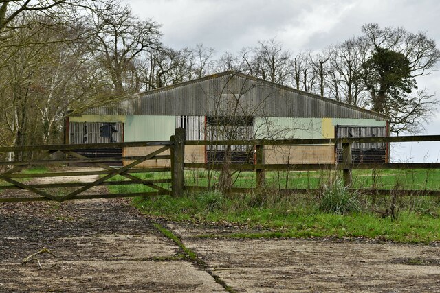
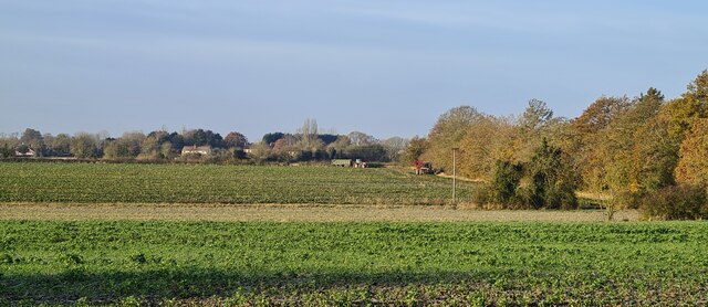
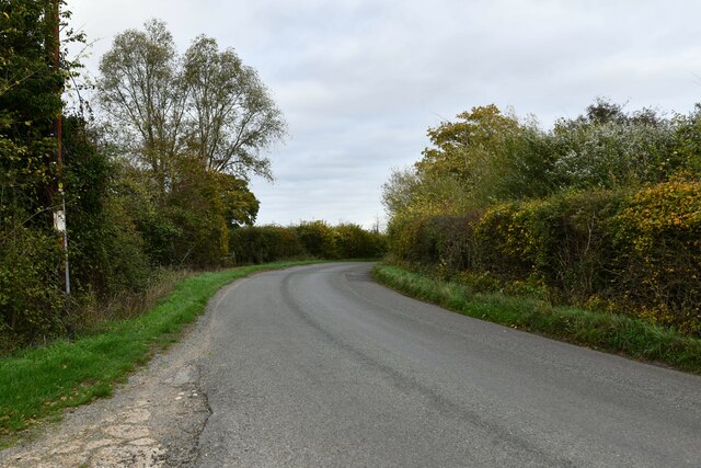
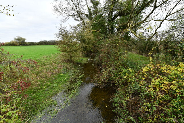
Oak Plantation Images
Images are sourced within 2km of 52.402319/1.0942865 or Grid Reference TM1082. Thanks to Geograph Open Source API. All images are credited.


Oak Plantation is located at Grid Ref: TM1082 (Lat: 52.402319, Lng: 1.0942865)
Administrative County: Norfolk
District: South Norfolk
Police Authority: Norfolk
What 3 Words
///patching.manual.bashed. Near Diss, Norfolk
Nearby Locations
Related Wikis

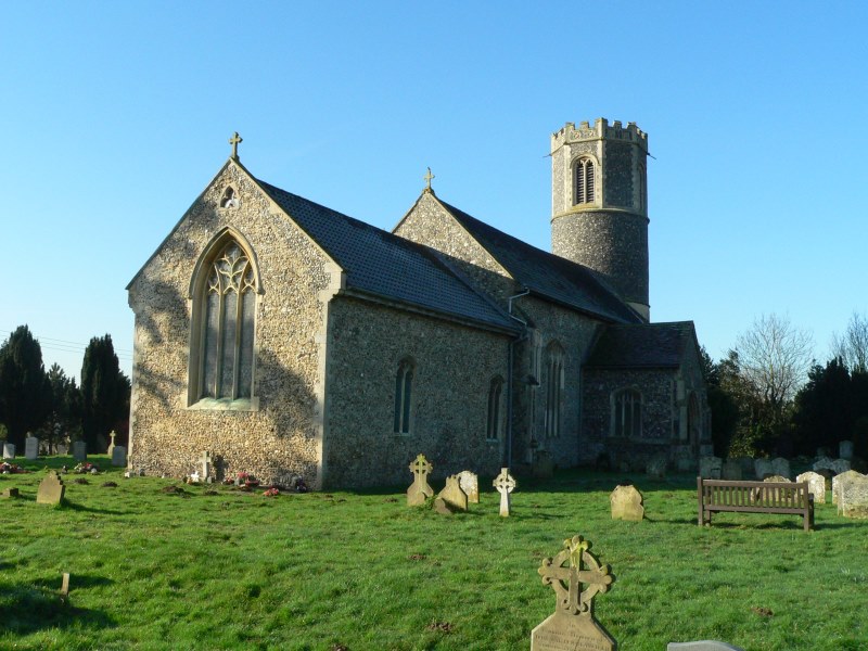
Shelfanger Meadows
Shelfanger Meadows is a 10.3-hectare (25-acre) biological Site of Special Scientific Interest north of Diss in Norfolk.This site in the valley of a tributary...
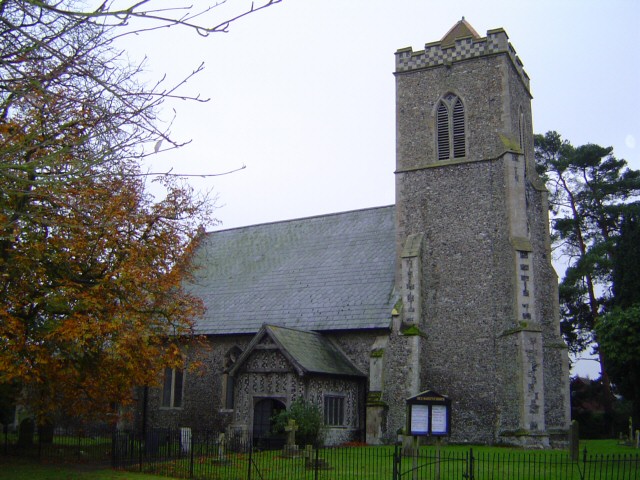
Shelfanger
Shelfanger is a village situated about 3 miles from the town of Diss in Norfolk, England. There is a church and a village hall in the village. It covers...

Diss Town F.C.
Diss Town Football Club is a football club based in Diss, Norfolk, England. Affiliated to the Norfolk County FA they are currently members of the Eastern...
Heywood, Norfolk
Heywood is a civil parish in the English county of Norfolk. It was formed in 2003 from a part of the parish of Diss. It covers an area of 9.56 km2 (3.69...

Diss, Norfolk
Diss is a market town and electoral ward in South Norfolk, England, near the boundary with Suffolk, with a population of 7,572 in 2011. Diss railway station...
Roydon, South Norfolk
Roydon is a small village, parish and electoral ward in the county of Norfolk, England, about a mile west of Diss. It covers an area of 5.54 km2 (2.14...
Diss High School
Diss High School is a secondary school and sixth form with academy status located in Diss, Norfolk, England. The school has approximately 931 pupils from...
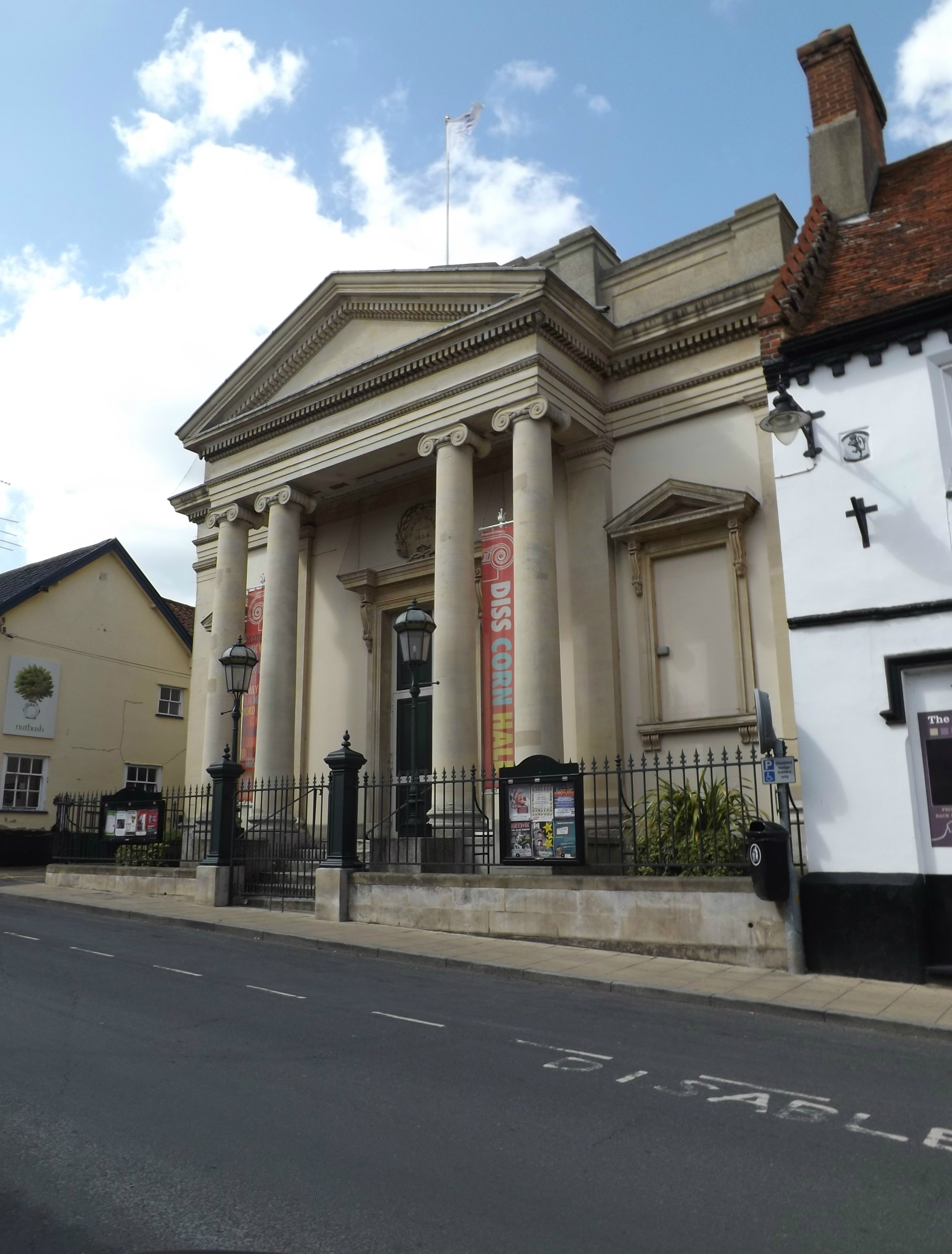
Corn Hall, Diss
The Corn Hall is a commercial building in St Nicholas Street, Diss, Norfolk, England. The structure, which is now used as an arts centre, is a Grade II...
Nearby Amenities
Located within 500m of 52.402319,1.0942865Have you been to Oak Plantation?
Leave your review of Oak Plantation below (or comments, questions and feedback).