Willow Wood

Wood, Forest in Kent Canterbury

England

Willow Wood

West Cliff Looking at houses on West Cliff.
West Cliff Credit: DS Pugh

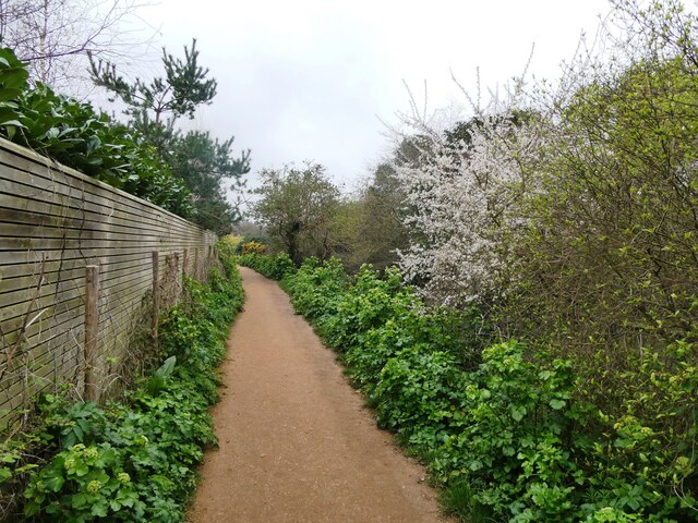
Willow Wood is a picturesque forest located in the county of Kent, England. Spread over an area of approximately 100 acres, it is known for its dense woodland and stunning natural beauty. The forest is predominantly made up of willow trees, hence the name, which provide a serene and tranquil atmosphere.

The wood is renowned for its rich biodiversity, housing a wide variety of plant and animal species. The dense canopy of trees creates a perfect habitat for numerous bird species, including the great spotted woodpecker, tawny owl, and various warblers. Additionally, the forest is home to small mammals such as foxes, rabbits, and squirrels.

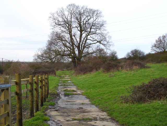
Visitors to Willow Wood can enjoy a range of activities amidst the natural surroundings. There are several well-maintained walking trails that meander through the forest, allowing visitors to explore its beauty at their own pace. These trails offer breathtaking views of the woodland, especially during the autumn season when the leaves change color, creating a stunning display of reds, yellows, and oranges.

The forest also provides ample opportunities for birdwatching and photography, as well as picnicking and family outings. The peaceful ambiance of Willow Wood makes it an ideal location for nature enthusiasts, hikers, and those seeking a serene retreat from the hustle and bustle of city life.

Overall, Willow Wood, Kent is a cherished natural gem, offering visitors a chance to immerse themselves in the beauty of a thriving woodland ecosystem.

If you have any feedback on the listing, please let us know in the comments section below.
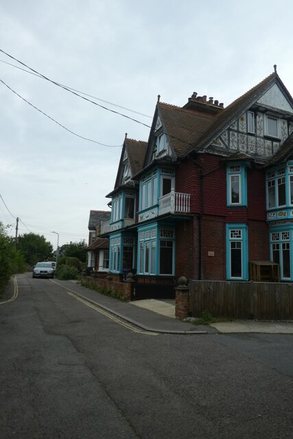
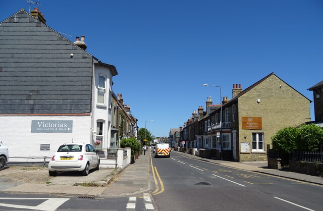
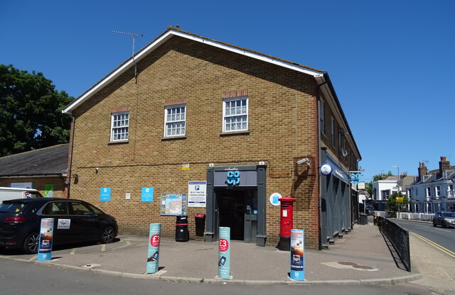
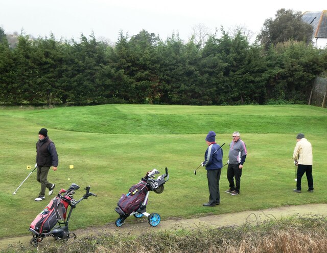
Willow Wood Images

Images are sourced within 2km of 51.336773/1.0171013 or Grid Reference TR1064. Thanks to Geograph Open Source API. All images are credited.

West Cliff Looking at houses on West Cliff.
West Cliff
Looking at houses on West Cliff.
Old houses on Canterbury Road, Whitstable
Joy Lane, Whitstable
The Two Brewers, Whitstable On Canterbury Road.
See <a href="https://www.geograph.org.uk/photo/7223454">TR1065 : Sign for the Two Brewers, Whitstable</a> for sign.
The Two Brewers, Whitstable
On Canterbury Road. See TR1065 : Sign for the Two Brewers, Whitstable for sign.
Sign for the Two Brewers, Whitstable See <a href="https://www.geograph.org.uk/photo/7223451">TR1065 : The Two Brewers, Whitstable</a> for context.
Sign for the Two Brewers, Whitstable
Canterbury Road (B2205)
George V postbox on Canterbury Road, Whitstable Postbox No. CT5 92.
See <a href="https://www.geograph.org.uk/photo/7224136">TR1065 : Co-op on Canterbury Road, Whitstable</a> for context.
George V postbox on Canterbury Road, Whitstable
Postbox No. CT5 92. See TR1065 : Co-op on Canterbury Road, Whitstable for context.
Co-op on Canterbury Road, Whitstable Showing position of Postbox No. CT5 92.
See <a href="https://www.geograph.org.uk/photo/7224134">TR1065 : George V postbox on Canterbury Road, Whitstable</a> for postbox.
Co-op on Canterbury Road, Whitstable
Showing position of Postbox No. CT5 92. See TR1065 : George V postbox on Canterbury Road, Whitstable for postbox.
A299 Thanet Way Eastbound
Former Toll House, B2205, Whitstable On the Junction with Joy Lane. This view is across Borstal Hill (B2205). The building has been known as "Tollgate Stores" at some point, but lacks a name currently. It served the Whitstable Turnpike Trust up to the mid 19ᵗʰ C.
A view of the property looking down Borstal Hill is <a href="https://www.geograph.org.uk/photo/5317123">TR1065 : Joy Lane at the junction of Canterbury Road</a>.

Grade II listed Nᴼ. 1084965 <span class="nowrap"><a title="https://historicengland.org.uk/listing/the-list/list-entry/1084965" rel="nofollow ugc noopener" href="https://historicengland.org.uk/listing/the-list/list-entry/1084965">Link</a><img style="margin-left:2px;" alt="External link" title="External link - shift click to open in new window" src="https://s1.geograph.org.uk/img/external.png" width="10" height="10"/></span>

Milestone Society National ID: KE.WHI
Former Toll House, B2205, Whitstable
On the Junction with Joy Lane. This view is across Borstal Hill (B2205). The building has been known as "Tollgate Stores" at some point, but lacks a name currently. It served the Whitstable Turnpike Trust up to the mid 19ᵗʰ C. A view of the property looking down Borstal Hill is TR1065 : Joy Lane at the junction of Canterbury Road. Grade II listed Nᴼ. 1084965 LinkExternal link Milestone Society National ID: KE.WHI
West Cliff Footpath, Whitstable North of the railway line and south of Whitstable and Seasalter Golf Course.
West Cliff Footpath, Whitstable
North of the railway line and south of Whitstable and Seasalter Golf Course.
A seat for golf lovers, Whitstable A seat with a good view of Whitstable and Seasalter Golf course from West Cliff footpath.
A seat for golf lovers, Whitstable
A seat with a good view of Whitstable and Seasalter Golf course from West Cliff footpath.
Path across the golf course, Whitstable Running across the centre of Whitstable and Seasalter Golf Course between West Cliff and Island Wall.
Path across the golf course, Whitstable
Running across the centre of Whitstable and Seasalter Golf Course between West Cliff and Island Wall.
Whitstable and Seasalter Golf Course, Whitstable The crossing  point for golfers over the footpath that runs across the centre of the course.
Whitstable and Seasalter Golf Course, Whitstable
The crossing point for golfers over the footpath that runs across the centre of the course.
Golfers, Whitstable On the Whitstable and  Seasalter Golf Course.
Golfers, Whitstable
On the Whitstable and Seasalter Golf Course.
Golfers, Whitstable On the Whitstable and  Seasalter Golf Course.
Golfers, Whitstable
On the Whitstable and Seasalter Golf Course.
Footpath, Whitstable By the golf course, leading to Island Wall.
Footpath, Whitstable
By the golf course, leading to Island Wall.
Footpath, Whitstable Leading over the golf course to West Cliff.
Footpath, Whitstable
Leading over the golf course to West Cliff.
Show me another place!

Willow Wood is located at Grid Ref: TR1064 (Lat: 51.336773, Lng: 1.0171013)

Administrative County: Kent

District: Canterbury

Police Authority: Kent

What 3 Words

///steps.wasps.emphasis. Near Whitstable, Kent

Related Wikis

Duncan Down

Duncan Down is an open, public, area to the south west of Whitstable and is the largest village green in the United Kingdom. It is a 21 hectare (52 acre...

Black Mill, Whitstable

Black Mill, or Borstal Hill Mill is a smock mill in Whitstable, Kent, England that was built in 1815. It is now a part of a private residence at the end...

Foxes Cross Bottom

Foxes Cross Bottom is a 4-hectare (9.9-acre) Local Nature Reserve north-west of Whitstable in Kent. It is owned and managed by Canterbury City Council...

Yorkletts

Yorkletts is a settlement two miles south of Whitstable in Kent in South East England. At the 2011 Census the settlement was included in the Seasalter...

Seasalter

Seasalter is a village (and district council ward) in the Canterbury District of Kent, England. Seasalter is on the north coast of Kent, between the towns...

Ellenden Wood

Ellenden Wood is a 90.6-hectare (224-acre) biological Site of Special Scientific Interest south of Whitstable in Kent. It is a Nature Conservation Review...

Seasalter Levels

Seasalter Levels is a 71.4-hectare (176-acre) Local Nature Reserve in Seasalter, on the western outskirts of Whitstable in Kent. It is owned and managed...

The Whitstable School

The Whitstable School is a coeducational secondary school and sixth form located in Whitstable, Kent, England. It was established in 1952 as the Sir William...

Related Videos

Faversham to Whitstable walk | Drone 4K | Easy Coastal Walk | Day Saturday | 🇬🇧 Hiking UK | England

Nice, an easy coast walk that it from is part of the Saxon Shore Way. We will pass for historic towns, a nature reserve, a creek, ...

Part 1 Whitstable Beach & Town Walking History Tour Guide Using Old Postcards Kent UK

Part 1 Whitstable, a walking history tour guide of Whitstable town and beach using old postcards. Would really appreciate it if you ...

Walking ALL the beaches in Whitstable!

West Beach, Whitstable Beach and Long Beach are the official beaches in Whitstable. This walk is around 2 miles long. It may still ...

Walking Whitstable 4K UHD 60FPS | Oyster Festival | September 2023

Join us on a morning walk through the beautiful Kent seaside town of Whitstable in England. Whitstable is famous for its historic ...

Nearby Amenities

Located within 500m of 51.336773,1.0171013
Clapham Hill
Is In: Kent, England, UK
Place: hamlet
Source: NPE maps
Lat/Long: 51.3384903/1.0210554
Bus Stop
Long Reach
Bench: yes
Bin: yes
Lit: yes
Shelter: yes
Tactile Paving: no
Lat/Long: 51.3404608/1.0205606
Bus Stop
Clapham Hill
Bench: no
Bin: no
Flag: yes
Naptan AtcoCode: 2400A048400A
Naptan Bearing: S
Naptan CommonName: Clapham Hill
Naptan Indicator: S-bound
Naptan Landmark: Adj Folly House
Naptan NaptanCode: kntgagpa
Naptan PlusbusZoneRef: HRNEBAY
Naptan Street: Clapham Hill (A290)
Naptan Verified: no
Shelter: no
Source: naptan_import
Lat/Long: 51.3377719/1.0212233
Bus Stop
Clapham Hill
Bench: yes
Bin: no
Lit: no
Naptan AtcoCode: 2400A048410A
Naptan Bearing: N
Naptan CommonName: Clapham Hill
Naptan Indicator: N-bound
Naptan Landmark: Opp Folly House
Naptan NaptanCode: kntgagpd
Naptan PlusbusZoneRef: HRNEBAY
Naptan Street: Clapham Hill (A290)
Naptan Verified: no
Shelter: no
Source: naptan_import
Tactile Paving: no
Lat/Long: 51.3380914/1.0210432
Crossing
Crossing: unmarked
Crossing Island: no
Crossing Markings: no
Tactile Paving: yes
Lat/Long: 51.3397794/1.0212355
Communication Microwave: no
Communication Mobile Phone: yes
Man Made: mast
Operator: O2
Tower Type: communication
Lat/Long: 51.3407153/1.0141918
Gate
Barrier: kissing_gate
Bicycle: no
Foot: yes
Horse: no
Motor Vehicle: no
Lat/Long: 51.3398493/1.0130602
Communication Mobile Phone: yes
Man Made: mast
Operator: O2
Tower Type: communication
Lat/Long: 51.3373863/1.0139408
Barrier: stile
Lat/Long: 51.3364643/1.0190941
Barrier: stile
Lat/Long: 51.3371315/1.0182573
Bicycle Parking
Bicycle Parking: stands
Capacity: 8
Covered: yes
Lat/Long: 51.3409987/1.016113
Bicycle Parking
Bicycle Parking: stands
Capacity: 6
Covered: no
Lat/Long: 51.3412566/1.0166068
Generator Method: photovoltaic
Generator Solar Modules: 14
Generator Source: solar
Generator Type: solar_photovoltaic_panel
Location: roof
Power: generator
Lat/Long: 51.3375238/1.0208561
Generator Method: photovoltaic
Generator Solar Modules: 16
Generator Source: solar
Generator Type: solar_photovoltaic_panel
Location: roof
Power: generator
Lat/Long: 51.336538/1.0220939
Power: pole
Lat/Long: 51.3395183/1.0226834
The data included in this document is from www.openstreetmap.org. The data is made available under ODbL.

Have you been to Willow Wood?

Leave your review of Willow Wood below (or comments, questions and feedback).