The Marsh
Downs, Moorland in Suffolk Mid Suffolk
England
The Marsh

The Marsh, Suffolk, is a diverse and picturesque area located in the eastern part of England. Stretching across the counties of Suffolk and Norfolk, the area is renowned for its unique landscape, encompassing downs, moorland, and marshland.
The Marsh is characterized by its vast expanses of open countryside, dotted with small villages and farmland. The downs, with their rolling hills and panoramic views, provide a stunning backdrop to the area. The moorland, on the other hand, offers a wilder and more rugged landscape, with heather-covered hills and meandering streams.
The marshland, as the name suggests, is a low-lying area that is home to a rich variety of wildlife. It is crisscrossed by a network of waterways, including rivers, streams, and drainage channels. These waterways not only provide a habitat for many species of birds, but also serve an important role in managing the water levels in the area.
The Marsh is a haven for nature lovers and outdoor enthusiasts. It offers ample opportunities for walking, hiking, and birdwatching, with numerous trails and nature reserves scattered throughout the region. The area is particularly renowned for its birdlife, with rare species such as bitterns, marsh harriers, and avocets frequently spotted.
In addition to its natural beauty, The Marsh is also home to a number of charming villages and historic sites. Quaint thatched cottages, medieval churches, and traditional pubs can be found nestled amidst the countryside, providing a glimpse into the region's rich heritage.
Overall, The Marsh, Suffolk, is a captivating and diverse area that offers a unique blend of natural beauty, wildlife, and historical charm. It is a must-visit destination for those seeking a peaceful and idyllic rural escape.
If you have any feedback on the listing, please let us know in the comments section below.
The Marsh Images
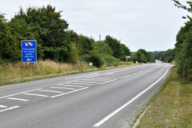
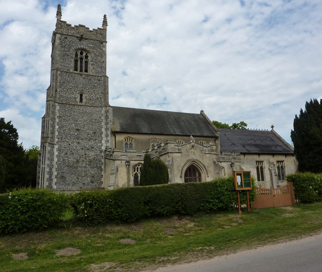
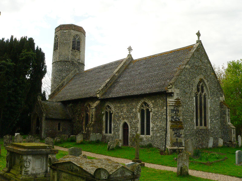
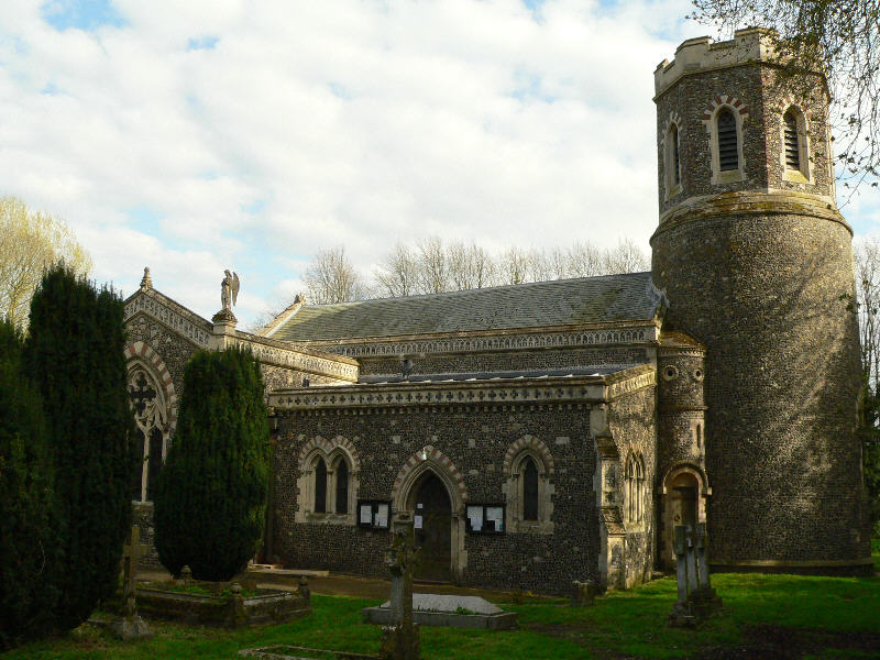
Images are sourced within 2km of 52.349759/1.097485 or Grid Reference TM1176. Thanks to Geograph Open Source API. All images are credited.


The Marsh is located at Grid Ref: TM1176 (Lat: 52.349759, Lng: 1.097485)
Administrative County: Suffolk
District: Mid Suffolk
Police Authority: Suffolk
What 3 Words
///supplied.fuzz.flopped. Near Diss, Norfolk
Nearby Locations
Related Wikis

Gypsy Camp Meadows, Thrandeston
Gypsy Camp Meadows, Thrandeston is a 2.4-hectare (5.9-acre) biological Site of Special Scientific Interest north of Thrandeston in Suffolk.These wet meadows...
Thrandeston
Thrandeston is a small village on the Norfolk/Suffolk border in England. == Overview == The village is split into two areas, Thrandeston Little Green and...

Palgrave, Suffolk
Palgrave is a village and civil parish in the Mid Suffolk district of Suffolk in eastern England. It is located on the south bank of the River Waveney...
Stuston
Stuston is a small village and civil parish in the Mid-Suffolk district of the county of Suffolk, England close to the border with Norfolk, England. Its...
Brome, Suffolk
Brome is a village and former civil parish in the Mid Suffolk district, in the north of the English county of Suffolk. It lies on the A140 Norwich to Ipswich...

Mellis Common
Mellis Common is a 59 hectare nature reserve in Mellis in Suffolk. It is managed by the Suffolk Wildlife Trust.The common has changed little over hundreds...

Mellis railway station
Mellis railway station was a station in Mellis, Suffolk, England. It was opened in 1849 by the Eastern Union Railway on the Great Eastern Main Line from...

Mellis
Mellis is a small village in Suffolk, England. It has the largest area of unfenced common land in England. Oliver Cromwell exercised his troops in Mellis...
Nearby Amenities
Located within 500m of 52.349759,1.097485Have you been to The Marsh?
Leave your review of The Marsh below (or comments, questions and feedback).