The Heath
Downs, Moorland in Suffolk Mid Suffolk
England
The Heath
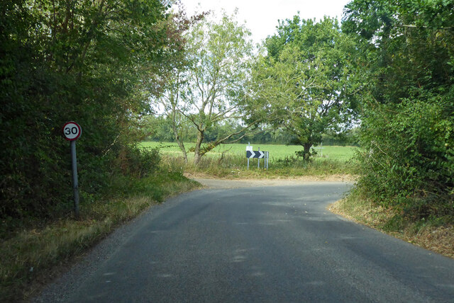
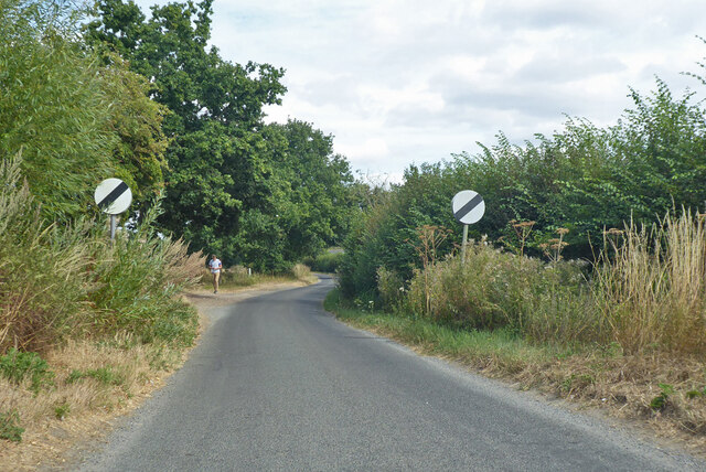
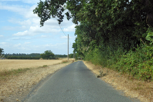
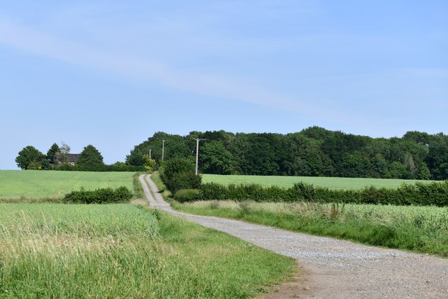
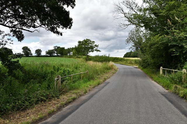
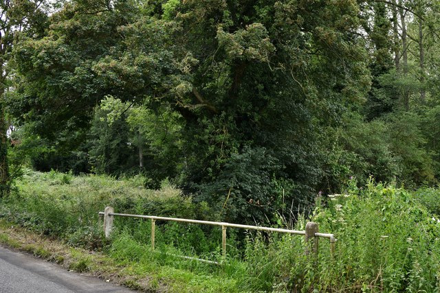
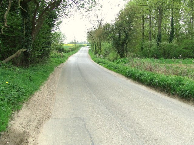
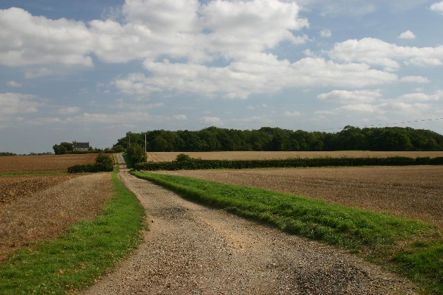
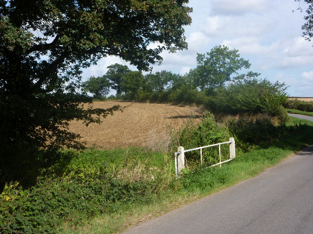
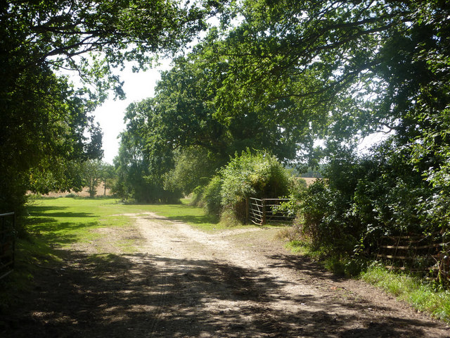
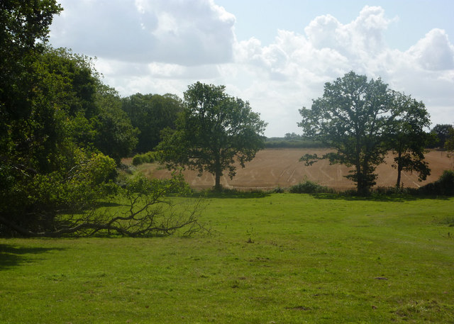
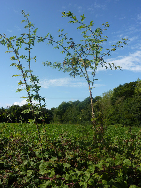
The Heath in Suffolk is a diverse and expansive natural area that encompasses both downs and moorland. Located in the eastern region of England, it stretches across a vast expanse, offering visitors a unique and varied landscape to explore. The Heath is characterized by its mixture of open grassland, heather-covered moors, and scattered woodland areas, creating a rich tapestry of habitats for a wide range of plant and animal species.
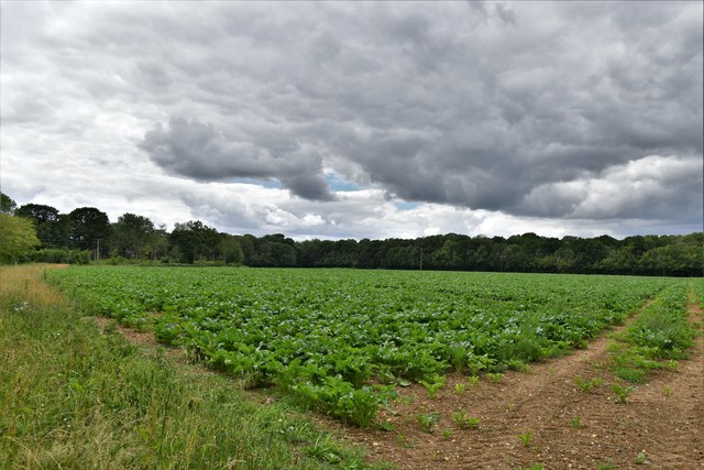
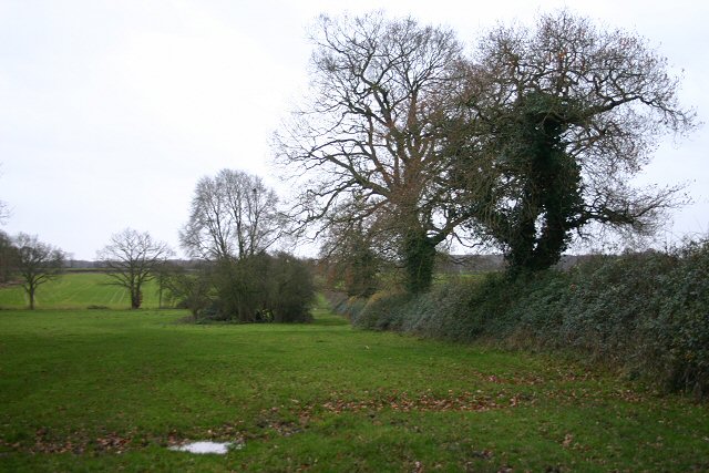
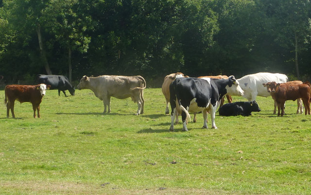
The downs section of The Heath features rolling hills and expansive views, with its grassy slopes providing a home to numerous wildflowers and grazing animals such as sheep and rabbits. The downs are also home to a variety of bird species, including skylarks and wheatears, which can often be spotted soaring through the sky.
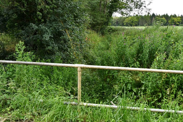
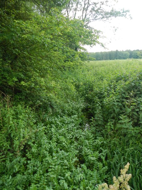
In contrast, the moorland area of The Heath showcases a more rugged and atmospheric terrain. Covered in heather and gorse, the moors offer a striking purple hue during the flowering season and provide a haven for unique plant species. This habitat is also home to a variety of wildlife, including reptiles such as adders and common lizards, as well as numerous insects and butterflies.
The Heath is a popular destination for nature enthusiasts and walkers, who can enjoy the extensive network of footpaths and trails that crisscross the area. There are also designated picnic areas and viewpoints, allowing visitors to soak in the beauty of the landscape. Additionally, The Heath plays a vital role in preserving the region's biodiversity and is protected as part of a designated Area of Outstanding Natural Beauty (AONB).
If you have any feedback on the listing, please let us know in the comments section below.
The Heath Images
Images are sourced within 2km of 52.216196/0.82148171 or Grid Reference TL9261. Thanks to Geograph Open Source API. All images are credited.

The Heath is located at Grid Ref: TL9261 (Lat: 52.216196, Lng: 0.82148171)
Administrative County: Suffolk
District: Mid Suffolk
Police Authority: Suffolk
What 3 Words
///thickened.positive.thrilled. Near Thurston, Suffolk
Nearby Locations
Related Wikis

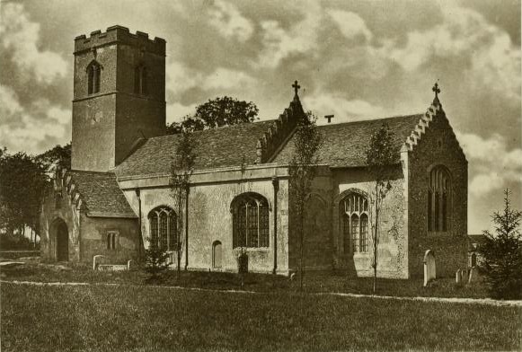
Hessett
Hessett is a village and civil parish in the Mid Suffolk district of Suffolk in eastern England. Hessett is located around four miles south east of Bury...

Bradfield St George
Bradfield St. George is a village and civil parish in the West Suffolk district of Suffolk, England, about 6 miles (9.7 km) south of Bury St Edmunds. According...

Beyton
Beyton is a village and civil parish in the Mid Suffolk district of the English county of Suffolk. The village is around 8 miles (13 km) east of Bury St...

Drinkstone
Drinkstone is a small settlement and civil parish in Suffolk, England. Its name is derived from Dremic's homestead. It was located in the hundred of Thedwastre...

Rougham, Suffolk
Rougham is a village and former civil parish 19 miles (31 km) north west of Ipswich, now in the parish of Rushbrooke with Rougham, in the West Suffolk...
Rushbrooke with Rougham
Rushbrooke with Rougham is a large civil parish in the West Suffolk district of Suffolk in eastern England covering the villages of Blackthorpe, Rougham...
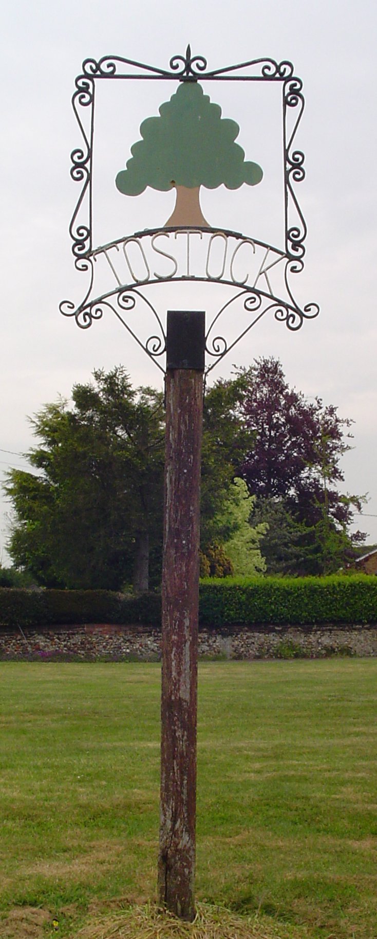
Tostock
Tostock is a small village around eight miles east of Bury St. Edmunds in the county of Suffolk. It is a very traditional Suffolk village, with a good...
Tostock Park
During the Second World War Tostock Park was a sub-station of the United States Army Air Force, located in Tostock, near Bury St Edmunds, Suffolk. It was...
Nearby Amenities
Located within 500m of 52.216196,0.82148171Have you been to The Heath?
Leave your review of The Heath below (or comments, questions and feedback).