High Rougham

Settlement in Suffolk West Suffolk

England

High Rougham

Eastlow Hill, Rougham Looking east.
Eastlow Hill, Rougham Credit: Robin Webster

High Rougham is a small village located in the county of Suffolk, England. Situated approximately 5 miles east of the historic market town of Bury St Edmunds, it is nestled in the beautiful countryside of East Anglia. The village is part of the Mid Suffolk district and falls within the civil parish of Rougham.

High Rougham is known for its peaceful and idyllic setting, with picturesque landscapes and charming rural surroundings. The village is characterized by its traditional English cottages, many of which date back several centuries. These buildings contribute to the area's distinct architectural heritage and add to its quaint and timeless charm.

Despite its small size, High Rougham boasts a strong sense of community. The villagers actively participate in various community events and initiatives, fostering a close-knit atmosphere. The village hall serves as a hub for social gatherings and is often used for meetings, celebrations, and recreational activities. Additionally, there is a local pub that provides a cozy environment for residents and visitors alike to enjoy a drink or a meal.

High Rougham's location offers easy access to both rural and urban amenities. The nearby town of Bury St Edmunds provides a wide range of shops, restaurants, and entertainment options. The village is also conveniently located for commuters, with good transport links to nearby towns and cities.

Overall, High Rougham is a charming and tightly-knit village that offers residents and visitors a peaceful retreat in the heart of the Suffolk countryside.

If you have any feedback on the listing, please let us know in the comments section below.
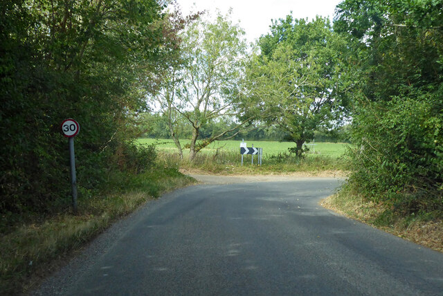
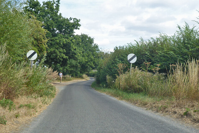
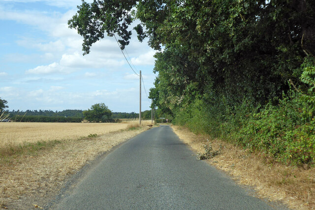
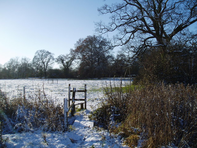
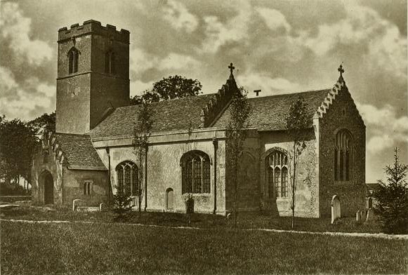
High Rougham Images

Images are sourced within 2km of 52.222139/0.81213559 or Grid Reference TL9261. Thanks to Geograph Open Source API. All images are credited.

Eastlow Hill, Rougham Looking east.
Eastlow Hill, Rougham
Looking east.
Bend on Moat Lane, Rougham The moat is at Moat Farm, a bit further back.
Bend on Moat Lane, Rougham
The moat is at Moat Farm, a bit further back.
Nether Street becomes derestricted Leaving Rougham and Kingshall Street behind.
Nether Street becomes derestricted
Leaving Rougham and Kingshall Street behind.
Nether Street towards High Rougham
Quaker Lane Looking north to a junction with Bury Road.
Quaker Lane
Looking north to a junction with Bury Road.
Bury Road west from New Road crossroads Bury Road was the old Stowmarket - Bury St Edmunds road, part of the A45, before it was supplanted by the current A14. It is two way ahead for a bit for access purposes, then a one way slip onto the A14 where old and new routes coincide.
Bury Road west from New Road crossroads
Bury Road was the old Stowmarket - Bury St Edmunds road, part of the A45, before it was supplanted by the current A14. It is two way ahead for a bit for access purposes, then a one way slip onto the A14 where old and new routes coincide.
Beyton village sign Suffolk has 400 villages and towns with village or town signs, give or take one or two. 
The tradition of village signs is believed to have started in Norfolk early in the 20th century when Edward VII suggested that village signs would aid motorists and give a feature of interest on the Sandringham Estate.
Many of the signs  were made by Harry Carter, an art and woodwork master at Hamond’s Grammar School, in Swaffham.
Many have now been replaced with fibreglass or modern plastics. The story behind the sign is given as accurately as possible.
Beyton village sign
Suffolk has 400 villages and towns with village or town signs, give or take one or two. The tradition of village signs is believed to have started in Norfolk early in the 20th century when Edward VII suggested that village signs would aid motorists and give a feature of interest on the Sandringham Estate. Many of the signs were made by Harry Carter, an art and woodwork master at Hamond’s Grammar School, in Swaffham. Many have now been replaced with fibreglass or modern plastics. The story behind the sign is given as accurately as possible.
Footpath Footpath off Manor Road near to Hesset, Suffolk.
Footpath
Footpath off Manor Road near to Hesset, Suffolk.
Poplars Along New Road The west side of New Road,Rougham, south of the junction with Church Road.
Poplars Along New Road
The west side of New Road,Rougham, south of the junction with Church Road.
Stubble Field The footpath on the left leads from Church Road to Moat Lane. The trees in the middle of the field surround the small pond shown on the 1:25000 map.
Stubble Field
The footpath on the left leads from Church Road to Moat Lane. The trees in the middle of the field surround the small pond shown on the 1:25000 map.
Field of Barley, Rougham Looking south from near the junction of New Road, Rougham with the former A45
Field of Barley, Rougham
Looking south from near the junction of New Road, Rougham with the former A45
Fields Beside Church Road, Rougham Looking south from Church Road
Fields Beside Church Road, Rougham
Looking south from Church Road
Footpath from Rougham Green to Kingshall Street The houses in the background are on Kingshall Street
Footpath from Rougham Green to Kingshall Street
The houses in the background are on Kingshall Street
Stile on the footpath to Eastlow Hill
Pollarded Oak Trees There are several old pollarded oak trees in this meadow at Rougham Green.
Pollarded Oak Trees
There are several old pollarded oak trees in this meadow at Rougham Green.
Autumn Colours The oak trees didn't lose their leaves until mid December. The houses in the distance are at Newthorpe and The Downs.
Autumn Colours
The oak trees didn't lose their leaves until mid December. The houses in the distance are at Newthorpe and The Downs.
Muddy Farm Track Rushbrooke Wood is in the distance.
Muddy Farm Track
Rushbrooke Wood is in the distance.
Colville's Grove and Kingshall Farm
Show me another place!

High Rougham is located at Grid Ref: TL9261 (Lat: 52.222139, Lng: 0.81213559)

Administrative County: Suffolk

District: West Suffolk

Police Authority: Suffolk

What 3 Words

///sometime.revealing.install. Near Thurston, Suffolk

Related Wikis

Rougham, Suffolk

Rougham is a village and former civil parish 19 miles (31 km) north west of Ipswich, now in the parish of Rushbrooke with Rougham, in the West Suffolk...

Hessett

Hessett is a village and civil parish in the Mid Suffolk district of Suffolk in eastern England. Hessett is located around four miles south-east of Bury...

Rushbrooke with Rougham

Rushbrooke with Rougham is a large civil parish in the West Suffolk district of Suffolk in eastern England covering the villages of Blackthorpe, Rougham...
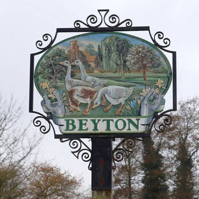
Beyton

Beyton is a village and civil parish in the Mid Suffolk district of the English county of Suffolk. The village is around 8 miles (13 km) east of Bury St...

Nearby Amenities

Located within 500m of 52.222139,0.81213559
High Rougham
Place: hamlet
Lat/Long: 52.2240269/0.8145606
Nether Street
Place: hamlet
Lat/Long: 52.2196302/0.8126589
Pub
Bennet Arms
Addr Housenumber: 1
Addr Postcode: IP30 9LH
Addr Street: Kingshall Street
Addr Village: Rougham
Fhrs Id: 1673986
Source Addr: FHRS Open Data
Lat/Long: 52.2213916/0.8051134
Power: tower
Lat/Long: 52.2208619/0.8115934
Bus Stop
Bennet Arms
Naptan AtcoCode: 390050663
Naptan Bearing: E
Naptan BusStopType: CUS
Naptan CommonName: Bennet Arms
Naptan Indicator: opp
Naptan Landmark: Bennet Arms
Naptan NaptanCode: sufgjgpm
Naptan Street: Kingshall Street
Naptan Verified: no
Source: naptan_import
Lat/Long: 52.2215618/0.8053243
Power: tower
Lat/Long: 52.2191386/0.8156738
Power: tower
Lat/Long: 52.2226292/0.8074147
Power: tower
Lat/Long: 52.22353/0.805199
Power: tower
Lat/Long: 52.2216869/0.809614
Power: tower
Lat/Long: 52.220022/0.8135686
The data included in this document is from www.openstreetmap.org. The data is made available under ODbL.

Have you been to High Rougham?

Leave your review of High Rougham below (or comments, questions and feedback).