Nether Street
Settlement in Suffolk West Suffolk
England
Nether Street

Nether Street is a quaint and picturesque village located in Suffolk, England. Situated amidst rolling green hills and tranquil countryside, it offers a peaceful and idyllic retreat for residents and visitors alike.
The village is characterized by its charming thatched-roof cottages, which exude a sense of traditional English charm. These buildings are adorned with colorful flower gardens, adding to the overall beauty of the area. Nether Street is known for its well-manicured lawns, which are meticulously maintained by the locals.
The village is also home to a small but tight-knit community. Residents of Nether Street are friendly and welcoming, creating a warm and inviting atmosphere for newcomers. The village is proud of its strong sense of community spirit, with regular events and gatherings held throughout the year, including summer fairs and traditional festivals.
Despite its small size, Nether Street boasts a number of amenities for its residents. The village has a local pub, which serves as a popular meeting spot and hub of social activity. Additionally, there is a small village shop that provides essential items and serves as a convenient resource for locals.
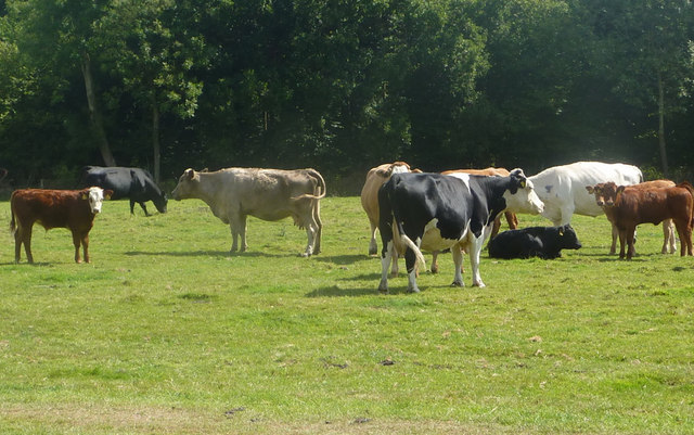
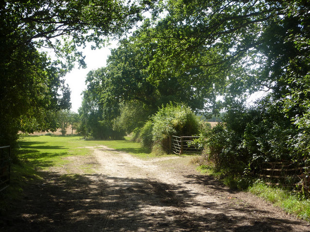
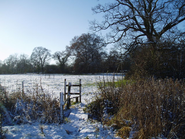
Surrounding Nether Street, visitors will find an abundance of natural beauty. The village is nestled near several walking trails and nature reserves, perfect for those looking to explore the stunning Suffolk countryside. The area is also home to various wildlife, making it a haven for nature enthusiasts.
In conclusion, Nether Street is a charming and picturesque village in Suffolk, offering a peaceful and welcoming community, beautiful thatched-roof cottages, and access to the stunning surrounding countryside. It is a hidden gem that showcases the best of rural England.
If you have any feedback on the listing, please let us know in the comments section below.
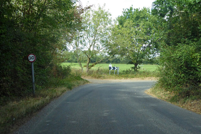
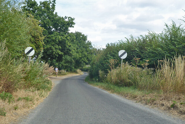
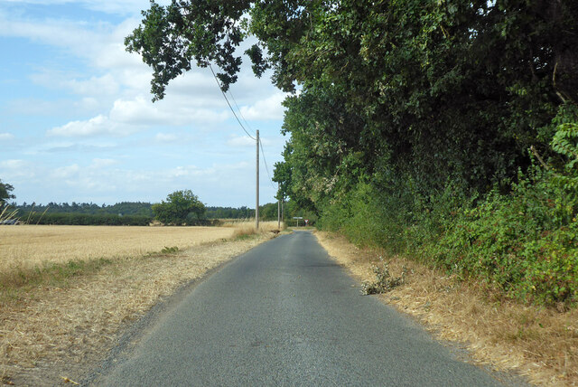
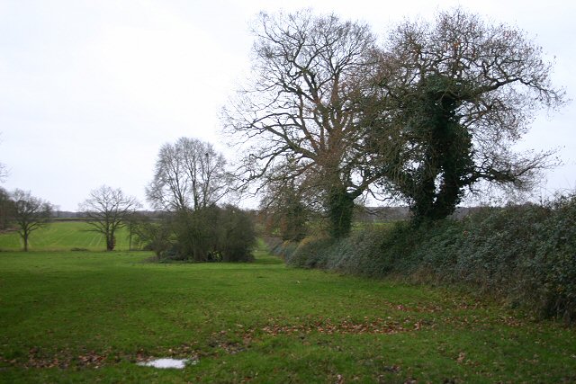
Nether Street Images
Images are sourced within 2km of 52.219326/0.81320235 or Grid Reference TL9261. Thanks to Geograph Open Source API. All images are credited.


Nether Street is located at Grid Ref: TL9261 (Lat: 52.219326, Lng: 0.81320235)
Administrative County: Suffolk
District: West Suffolk
Police Authority: Suffolk
What 3 Words
///achieving.conforms.ladders. Near Thurston, Suffolk
Nearby Locations
Related Wikis

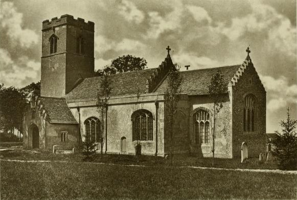
Hessett
Hessett is a village and civil parish in the Mid Suffolk district of Suffolk in eastern England. Hessett is located around four miles south east of Bury...

Rougham, Suffolk
Rougham is a village and former civil parish 19 miles (31 km) north west of Ipswich, now in the parish of Rushbrooke with Rougham, in the West Suffolk...

Bradfield St George
Bradfield St. George is a village and civil parish in the West Suffolk district of Suffolk, England, about 6 miles (9.7 km) south of Bury St Edmunds. According...

Beyton
Beyton is a village and civil parish in the Mid Suffolk district of the English county of Suffolk. The village is around 8 miles (13 km) east of Bury St...
Rushbrooke with Rougham
Rushbrooke with Rougham is a large civil parish in the West Suffolk district of Suffolk in eastern England covering the villages of Blackthorpe, Rougham...

Drinkstone
Drinkstone is a small settlement and civil parish in Suffolk, England. Its name is derived from Dremic's homestead. It was located in the hundred of Thedwastre...
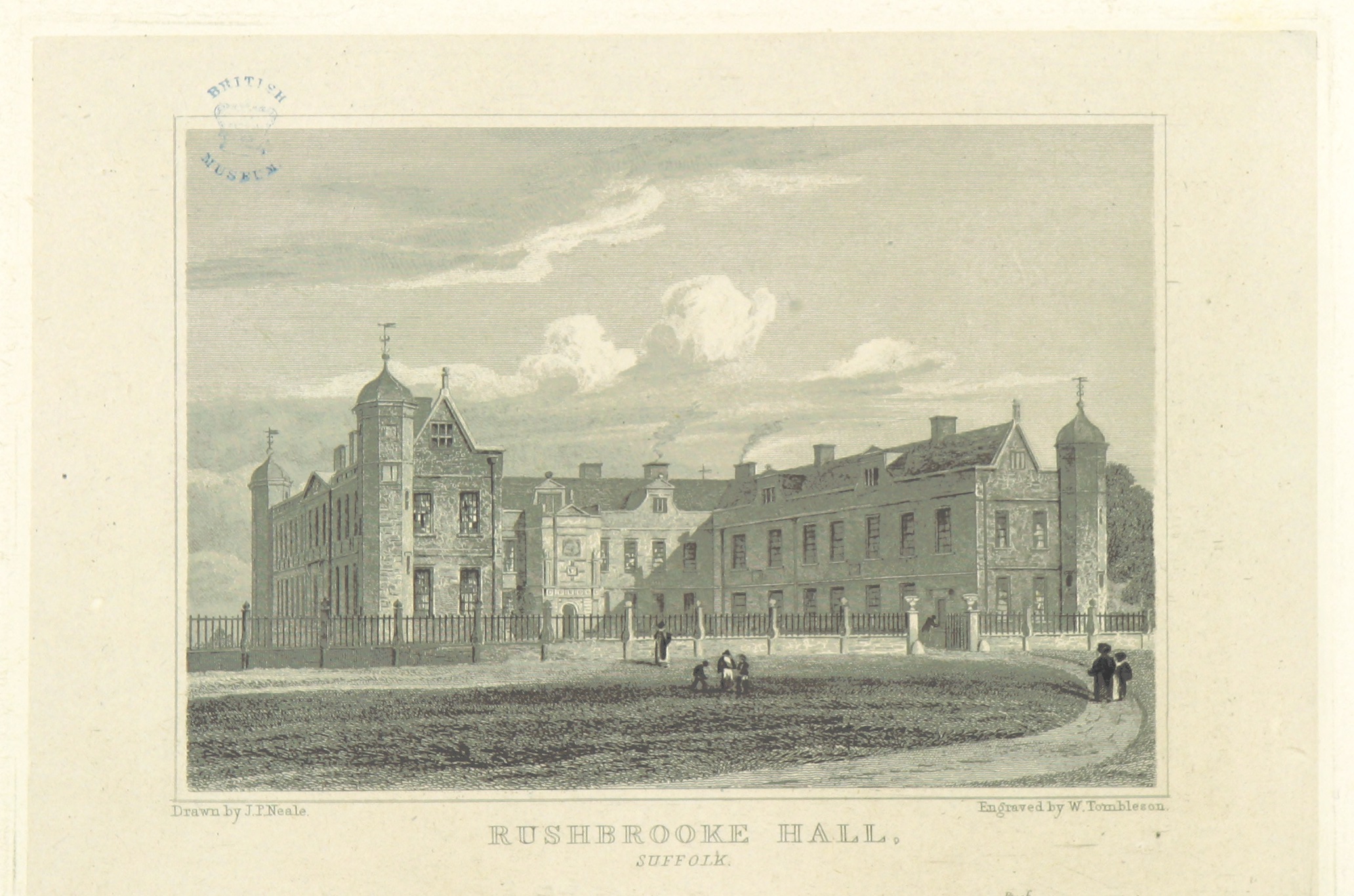
Rushbrooke Hall
Rushbrooke Hall was a British stately home in Rushbrooke, Suffolk. For several hundred years it was the family seat of the Jermyn family. It was demolished...
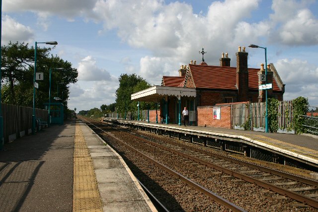
Thurston railway station
Thurston railway station serves the village of Thurston in Suffolk, England. The station, and all trains serving it, are operated by Greater Anglia. It...
Nearby Amenities
Located within 500m of 52.219326,0.81320235Have you been to Nether Street?
Leave your review of Nether Street below (or comments, questions and feedback).