St, Nether
Settlement in Suffolk West Suffolk
England
St, Nether

St. Nether is a small village located in the county of Suffolk, England. Situated in the eastern part of the country, it is nestled amidst the picturesque countryside, surrounded by rolling hills and lush green fields. The village is part of the East Suffolk district and lies approximately 10 miles southwest of the town of Lowestoft.
With a population of around 500 residents, St. Nether exudes a quaint and peaceful atmosphere. The village is characterized by its charming thatched-roof cottages, some of which date back several centuries, giving it a sense of historical authenticity. The local architecture is predominantly traditional, with a few modern additions that blend harmoniously with the existing structures.
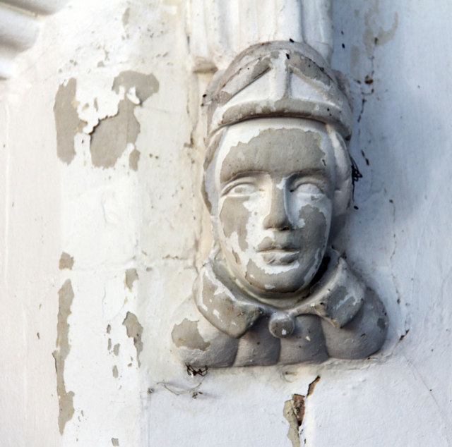
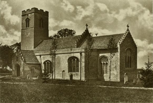
The heart of the village is centered around St. Nether Church, a beautiful medieval church that stands as a prominent landmark. The church is renowned for its striking stained glass windows and intricate stone-carved details. It serves as a place of worship for the local community and also attracts tourists interested in its historical significance.
Despite its small size, St. Nether offers a range of amenities to its residents. These include a village hall, a primary school, and a cozy pub that serves both locals and visitors. The surrounding countryside provides ample opportunities for outdoor activities such as hiking, cycling, and horse riding, making it an idyllic location for nature enthusiasts.
Overall, St. Nether is a charming village that exudes a sense of tranquility and offers a glimpse into rural English life. Its historical architecture, natural beauty, and strong community spirit make it a desirable place to visit or call home.
If you have any feedback on the listing, please let us know in the comments section below.
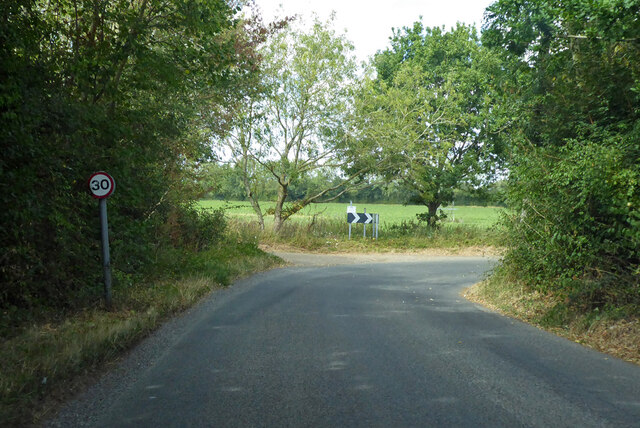
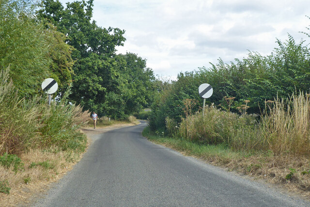
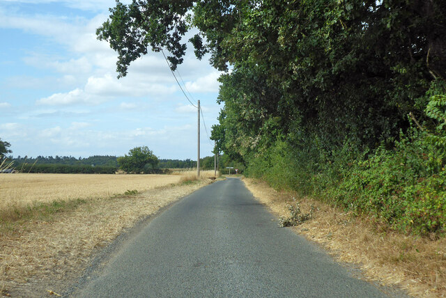
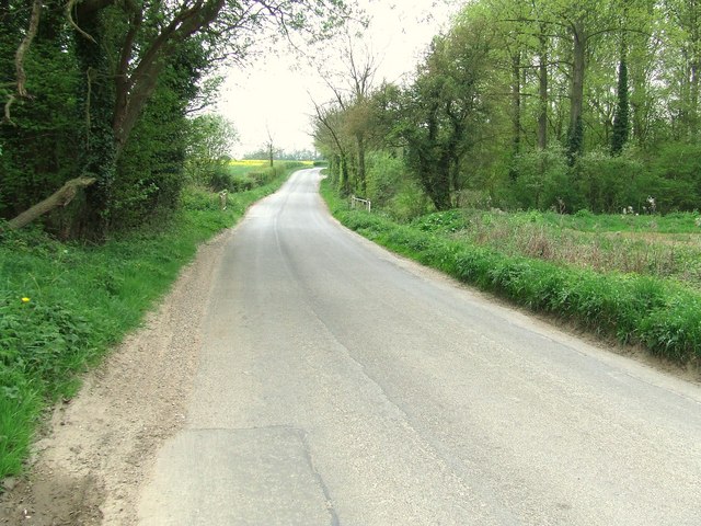
St, Nether Images
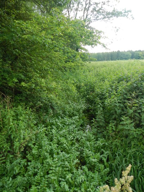
Images are sourced within 2km of 52.213753/0.8089557 or Grid Reference TL9261. Thanks to Geograph Open Source API. All images are credited.


St, Nether is located at Grid Ref: TL9261 (Lat: 52.213753, Lng: 0.8089557)
Administrative County: Suffolk
District: West Suffolk
Police Authority: Suffolk
What 3 Words
///digress.supported.ages. Near Thurston, Suffolk
Nearby Locations
Related Wikis

Bradfield St George
Bradfield St. George is a village and civil parish in the West Suffolk district of Suffolk, England, about 6 miles (9.7 km) south of Bury St Edmunds. According...

Hessett
Hessett is a village and civil parish in the Mid Suffolk district of Suffolk in eastern England. Hessett is located around four miles south east of Bury...

Rougham, Suffolk
Rougham is a village and former civil parish 19 miles (31 km) north west of Ipswich, now in the parish of Rushbrooke with Rougham, in the West Suffolk...
Rushbrooke with Rougham
Rushbrooke with Rougham is a large civil parish in the West Suffolk district of Suffolk in eastern England covering the villages of Blackthorpe, Rougham...
Nearby Amenities
Located within 500m of 52.213753,0.8089557Have you been to St, Nether?
Leave your review of St, Nether below (or comments, questions and feedback).