Badgers Holt
Downs, Moorland in Cambridgeshire South Cambridgeshire
England
Badgers Holt
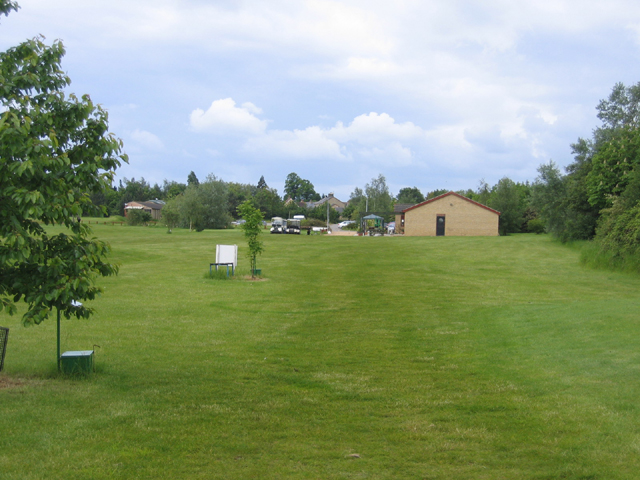
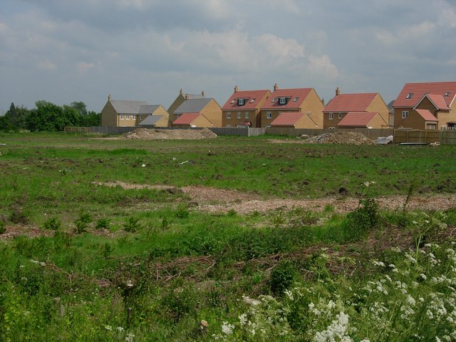
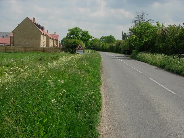
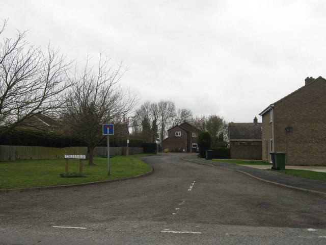
Badgers Holt is a small village located in the county of Cambridgeshire, England. Situated amidst the serene landscape of the Downs and Moorland, the village offers a peaceful and picturesque setting for residents and visitors alike. With its charming countryside views and tranquil atmosphere, Badgers Holt is a haven for nature lovers and those seeking a break from the hustle and bustle of city life.
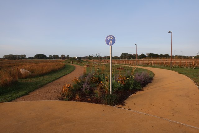
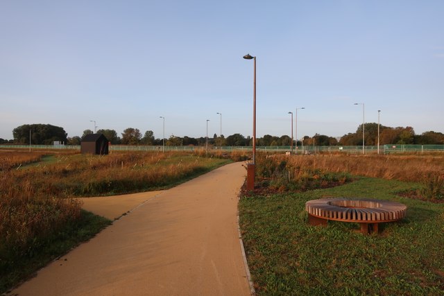
The village is known for its beautiful rolling hills, vast moorland expanses, and lush greenery. The Downs, which are a prominent natural feature in the area, offer breathtaking views of the surrounding countryside, making it a popular spot for outdoor activities such as hiking, picnicking, and birdwatching. The Moorland, on the other hand, provides a unique and diverse habitat for various plant and animal species.
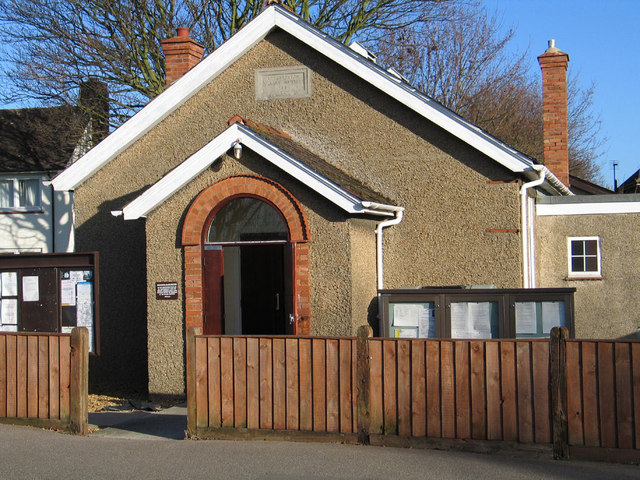
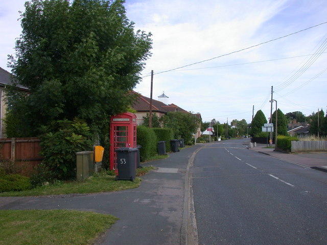
In addition to its natural beauty, Badgers Holt boasts a close-knit community with a range of amenities to cater to residents' needs. The village has a small but well-equipped local shop, where residents can purchase essential groceries and everyday items. There is also a quaint village pub that serves as a social hub, offering a warm and friendly atmosphere for locals and visitors to relax and enjoy a drink or a meal.
Overall, Badgers Holt in Cambridgeshire offers a charming rural retreat, with its stunning natural surroundings, friendly community, and range of amenities. Whether one seeks outdoor adventures, a peaceful getaway, or a place to call home, Badgers Holt provides a delightful setting to enjoy the beauty of the Downs and Moorland.
If you have any feedback on the listing, please let us know in the comments section below.
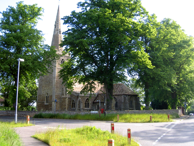
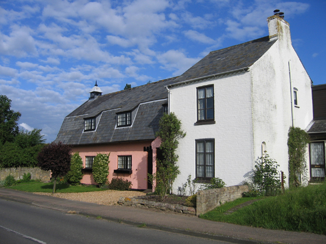
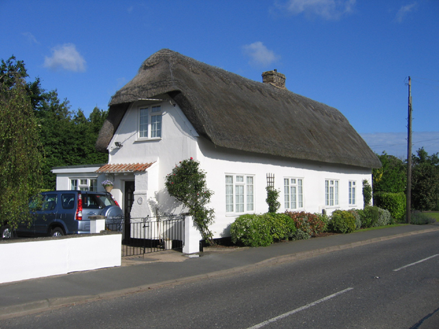
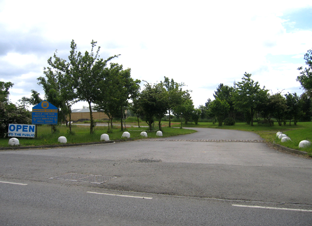
Badgers Holt Images
Images are sourced within 2km of 52.274257/0.056910512 or Grid Reference TL4066. Thanks to Geograph Open Source API. All images are credited.

Badgers Holt is located at Grid Ref: TL4066 (Lat: 52.274257, Lng: 0.056910512)
Administrative County: Cambridgeshire
District: South Cambridgeshire
Police Authority: Cambridgeshire
What 3 Words
///necks.consonant.squish. Near Longstanton, Cambridgeshire
Nearby Locations
Related Wikis

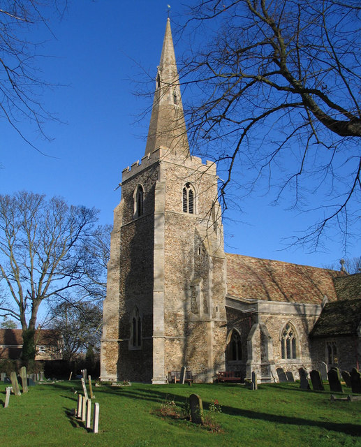
St Michael's Church, Longstanton
St Michael's Church is a redundant Anglican church in the village of Longstanton, Cambridgeshire, England. It is recorded in the National Heritage List...

Oakington Immigration Reception Centre
Oakington Immigration Reception Centre was an immigration detention centre located in Cambridgeshire run by UK Visas and Immigration. Originally a World...

RAF Oakington
Royal Air Force Oakington or more simply RAF Oakington was a Royal Air Force station located 0.5 miles (0.80 km) north of Oakington, Cambridgeshire, England...

Longstanton
Longstanton is a village and civil parish in South Cambridgeshire, England, 6 miles (9.7 km) north-west of Cambridge city centre. Longstanton occupies...

Northstowe
Northstowe is a new town that will eventually have up to 10,000 homes, with an anticipated population of 24,400 in Cambridgeshire, England, UK. On 1 April...
Northstowe Secondary College
Northstowe Secondary College is a co-educational secondary school and sixth form located in Northstowe in the English county of Cambridgeshire.The school...

Oakington
Oakington is a small rural Anglo-Saxon village and former civil parish, now in the parish of Oakington and Westwick, in the South Cambridgeshire district...
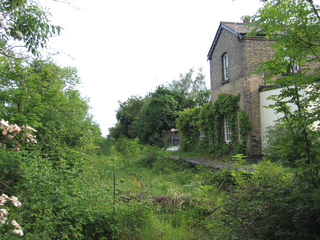
Oakington railway station
Oakington railway station was a station in Oakington, Cambridgeshire, on the line between Cambridge and St Ives. It opened in 17 August 1847 and was closed...
Nearby Amenities
Located within 500m of 52.274257,0.056910512Have you been to Badgers Holt?
Leave your review of Badgers Holt below (or comments, questions and feedback).