Poor's Land
Downs, Moorland in Hertfordshire East Hertfordshire
England
Poor's Land

Poor's Land is a picturesque area located in Hertfordshire, England. Known for its stunning landscapes and diverse natural features, it encompasses both downs and moorland. With its rolling hills and open fields, Poor's Land offers visitors a tranquil retreat from the hustle and bustle of city life.
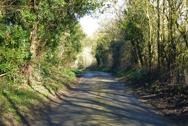
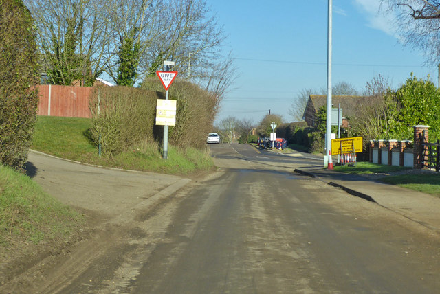
The downs in Poor's Land are characterized by their gently sloping hills, covered in lush grasses and scattered with wildflowers. The undulating terrain provides breathtaking panoramic views of the surrounding countryside, making it a popular spot for hiking and picnicking. The moorland, on the other hand, offers a unique ecosystem of wetlands, heather, and peat bogs. This diverse habitat attracts a variety of wildlife, including birds, reptiles, and small mammals.
The area is also home to several walking trails and nature reserves, allowing visitors to explore and appreciate its natural beauty. The Downs Link, a long-distance footpath, passes through Poor's Land, providing an opportunity for hikers to discover the area's hidden gems.
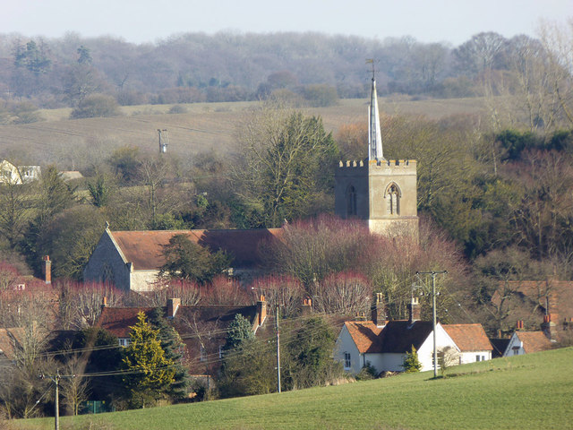
In addition to its natural attractions, Poor's Land boasts a rich history. The area has been inhabited since prehistoric times, and evidence of ancient settlements can still be found in the form of burial mounds and earthworks. There are also several historic villages nearby, showcasing charming architecture and local heritage.
Overall, Poor's Land in Hertfordshire offers visitors a chance to immerse themselves in the beauty of nature, with its downs and moorland providing a diverse range of landscapes to explore and enjoy.
If you have any feedback on the listing, please let us know in the comments section below.
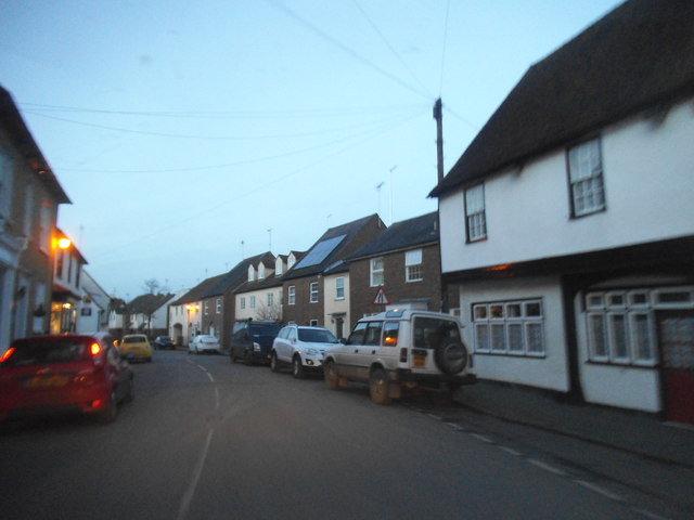
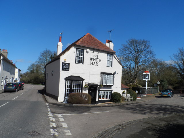
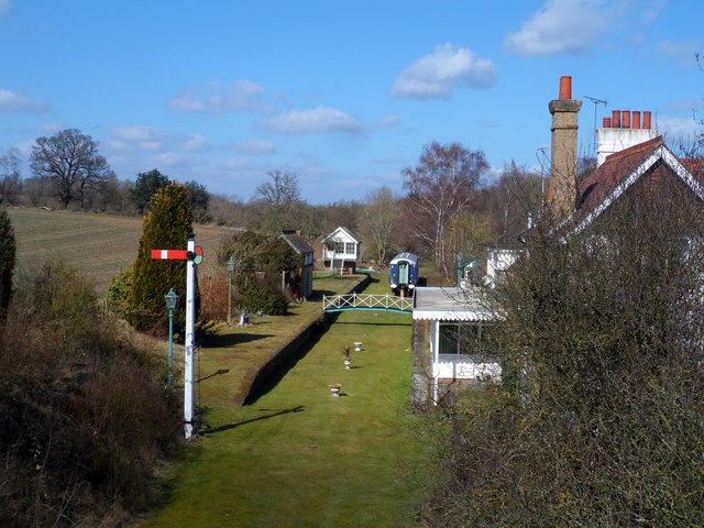
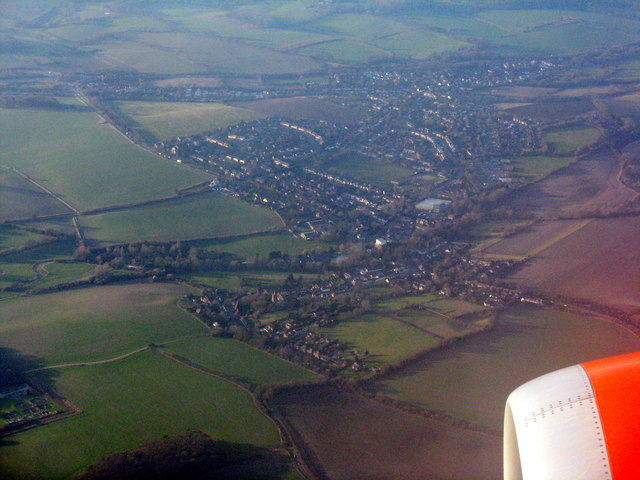
Poor's Land Images
Images are sourced within 2km of 51.887754/0.039331668 or Grid Reference TL4022. Thanks to Geograph Open Source API. All images are credited.


Poor's Land is located at Grid Ref: TL4022 (Lat: 51.887754, Lng: 0.039331668)
Administrative County: Hertfordshire
District: East Hertfordshire
Police Authority: Hertfordshire
What 3 Words
///seagull.successes.riverbed. Near Puckeridge, Hertfordshire
Nearby Locations
Related Wikis

Braughing Friars
Braughing Friars is a hamlet in Hertfordshire, England. It is in the civil parish of Braughing. == External links == Media related to Braughing Friars...

Standon, Hertfordshire
Standon is a village and civil parish in Hertfordshire, England. The parish includes the adjoining village of Puckeridge. The village church of St Mary...

Standon railway station
Standon railway station served the village of Standon, Hertfordshire, England, from 1863 to 1965 on the Buntingford branch line. == History == The station...
Standon Preceptory
Standon Preceptory was a Knights Hospitaller foundation in the parish of Standon, in the county of Hertfordshire, England. It was founded before 1154,...
Wellpond Green
Wellpond Green is a hamlet near the A120 road and the town of Bishop's Stortford, in the county of Hertfordshire, England. Wellpond Green contains 4 listed...

Braughing
Braughing is a village and civil parish, between the rivers Quin and Rib, in the non-metropolitan district of East Hertfordshire, part of the English...
Braughing railway station
Braughing railway station served the village of Braughing, Hertfordshire, England, from 1863 to 1964 on the Buntingford branch line. == History == The...
Braughing (Roman town)
Braughing was a small town in the Roman province of Britannia. Its name in Latin is unknown. == Location == Today the site is partially occupied by the...
Nearby Amenities
Located within 500m of 51.887754,0.039331668Have you been to Poor's Land?
Leave your review of Poor's Land below (or comments, questions and feedback).