Nethergrove Lake
Lake, Pool, Pond, Freshwater Marsh in Cambridgeshire South Cambridgeshire
England
Nethergrove Lake
Nethergrove Lake, located in Cambridgeshire, is a picturesque body of water known for its serene beauty and diverse ecosystem. Stretching over an area of approximately 10 hectares, it serves as a vital habitat for various species of flora and fauna.
The lake is characterized by its calm and crystal-clear freshwater, making it an ideal spot for fishing and boating enthusiasts. Its tranquil surroundings, encompassed by lush greenery and meadows, attract visitors seeking peace and relaxation.
Nethergrove Lake also boasts a vibrant aquatic life, with numerous species of fish, including perch, pike, and roach, thriving in its depths. The lake's ecosystem supports an array of water plants, such as water lilies and reeds, providing habitat and food sources for the resident wildlife.
The lake is also home to a diverse bird population, making it a popular destination for birdwatching enthusiasts. Visitors can spot a variety of waterfowl, including swans, ducks, and herons, gracefully gliding across the water or nesting along the lake's shores.
Additionally, Nethergrove Lake features a freshwater marsh area, which further enhances its ecological significance. This marshland provides a breeding ground for amphibians, such as frogs and newts, and attracts a range of insects and small mammals.
Overall, Nethergrove Lake is a haven of natural beauty and biodiversity, offering a peaceful retreat for nature lovers and wildlife enthusiasts alike. Its pristine waters, abundant wildlife, and picturesque surroundings make it a must-visit destination in Cambridgeshire.
If you have any feedback on the listing, please let us know in the comments section below.
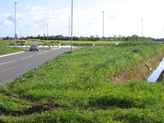
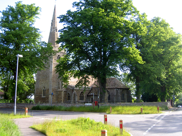
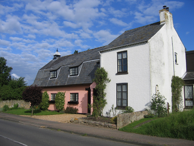
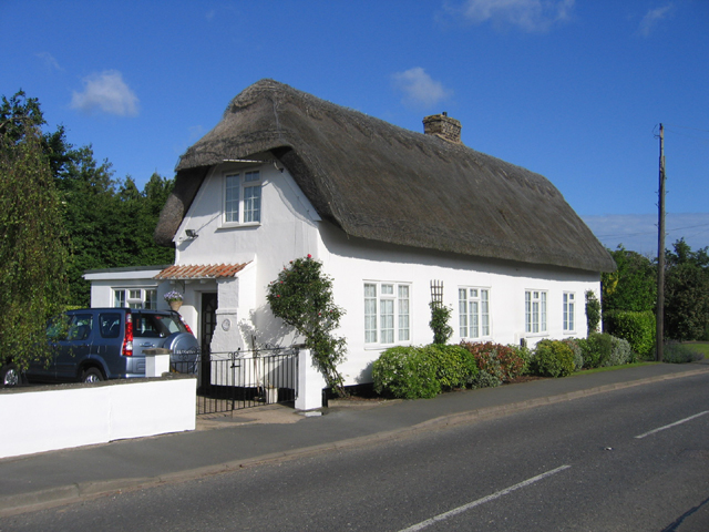
Nethergrove Lake Images
Images are sourced within 2km of 52.278632/0.052964469 or Grid Reference TL4066. Thanks to Geograph Open Source API. All images are credited.


Nethergrove Lake is located at Grid Ref: TL4066 (Lat: 52.278632, Lng: 0.052964469)
Administrative County: Cambridgeshire
District: South Cambridgeshire
Police Authority: Cambridgeshire
What 3 Words
///shook.steam.workroom. Near Longstanton, Cambridgeshire
Nearby Locations
Related Wikis

Longstanton
Longstanton is a village and civil parish in South Cambridgeshire, England, 6 miles (9.7 km) north-west of Cambridge city centre. Longstanton occupies...

Northstowe
Northstowe is a new town that will eventually have up to 10,000 homes, with an anticipated population of 24,400 in Cambridgeshire, England, UK. On 1 April...

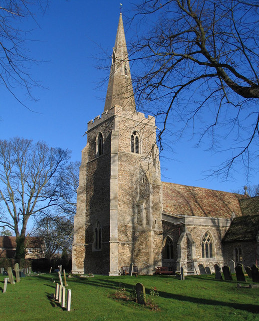
St Michael's Church, Longstanton
St Michael's Church is a redundant Anglican church in the village of Longstanton, Cambridgeshire, England. It is recorded in the National Heritage List...

Oakington Immigration Reception Centre
Oakington Immigration Reception Centre was an immigration detention centre located in Cambridgeshire run by UK Visas and Immigration. Originally a World...

Northstowe Secondary College
Northstowe Secondary College is a co-educational secondary school and sixth form located in Northstowe in the English county of Cambridgeshire.The school...
RAF Oakington
Royal Air Force Oakington or more simply RAF Oakington was a Royal Air Force station located 0.5 miles (0.80 km) north of Oakington, Cambridgeshire, England...
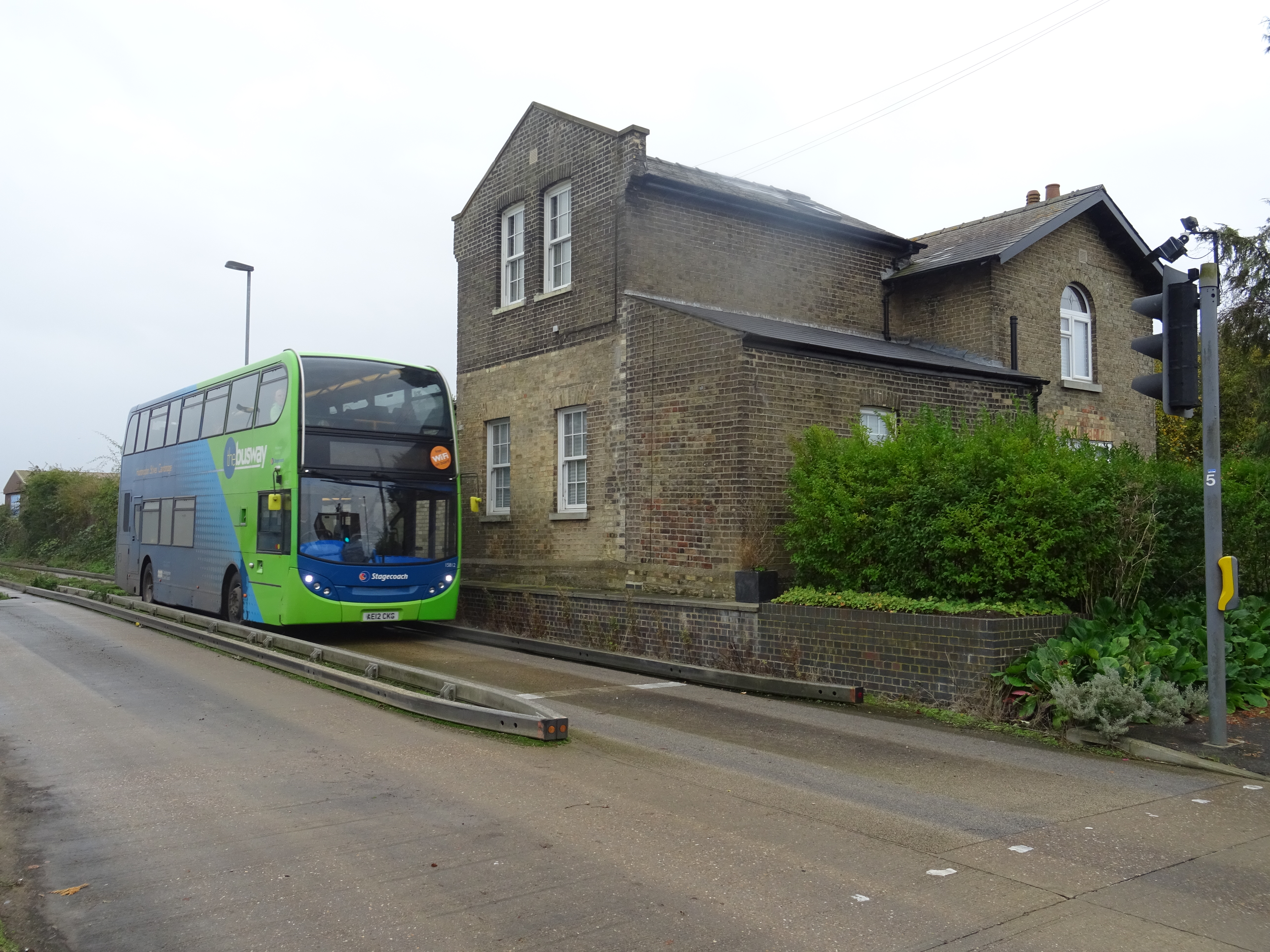
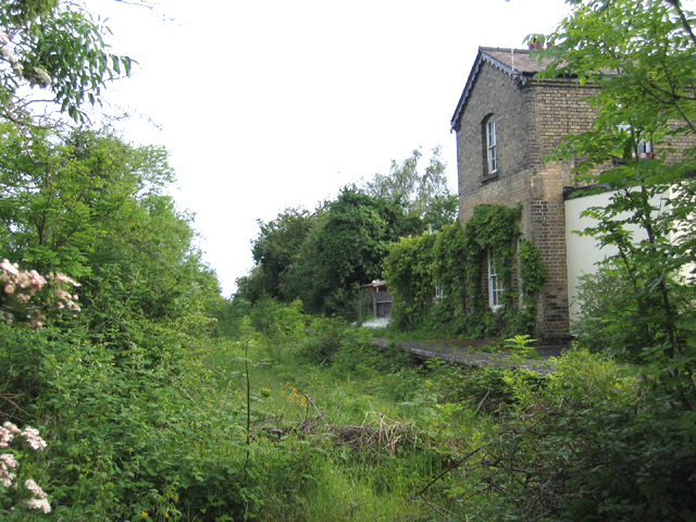
Long Stanton railway station
Long Stanton railway station was a station on the Great Eastern Railway, between Cambridge and Huntingdon. It served the villages of Longstanton and Willingham...
Oakington railway station
Oakington railway station was a station in Oakington, Cambridgeshire, on the line between Cambridge and St Ives. It opened in 17 August 1847 and was closed...
Nearby Amenities
Located within 500m of 52.278632,0.052964469Have you been to Nethergrove Lake?
Leave your review of Nethergrove Lake below (or comments, questions and feedback).