Nether Grove

Wood, Forest in Cambridgeshire South Cambridgeshire

England

Nether Grove

New roundabout, Longstanton, Cambs on Hatton's Road, in preparation for New Town development.
New roundabout, Longstanton, Cambs Credit: Rodney Burton

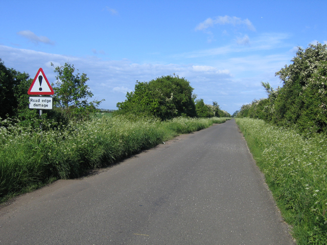
Nether Grove, located in Cambridgeshire, is a picturesque wood or forest that offers a serene and natural escape for visitors. Covering an area of approximately 100 acres, this woodland is characterized by its diverse range of trees, including oak, beech, and birch, creating a lush and vibrant environment.

The wood is well-maintained, with clearly marked walking trails that wind through the dense foliage, allowing visitors to explore and immerse themselves in the peaceful surroundings. These paths are often frequented by nature enthusiasts, dog walkers, and families looking to enjoy a leisurely stroll or a picnic amidst the tranquility of the forest.

Nether Grove showcases a rich biodiversity, attracting a variety of wildlife, such as deer, foxes, squirrels, and numerous bird species. Nature lovers are often thrilled by the opportunity to observe and photograph these creatures in their natural habitat.

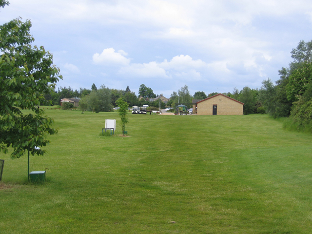
Moreover, the wood offers a range of recreational activities for visitors to enjoy. It has designated areas for camping and barbecues, making it an ideal destination for outdoor enthusiasts. Additionally, the wood provides ample space for children to play and explore, with a small playground and open meadows perfect for games and picnics.

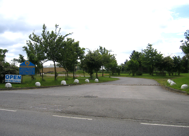
Nether Grove is easily accessible, with ample parking available nearby. It is a popular destination for both locals and tourists seeking an escape from the hustle and bustle of everyday life, providing a peaceful and rejuvenating experience in the heart of Cambridgeshire's natural beauty.

If you have any feedback on the listing, please let us know in the comments section below.
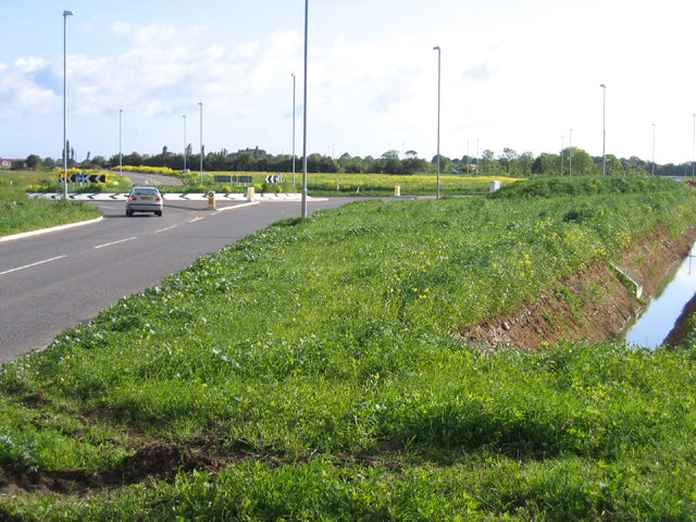
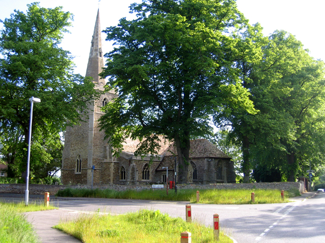
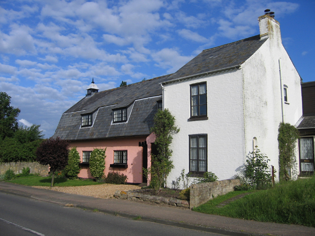
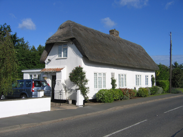
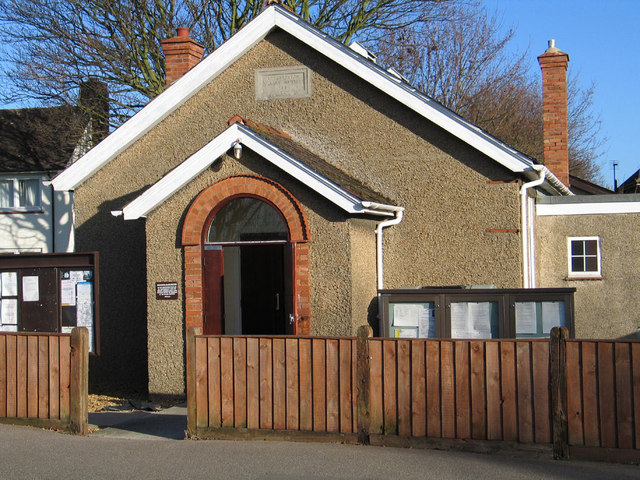
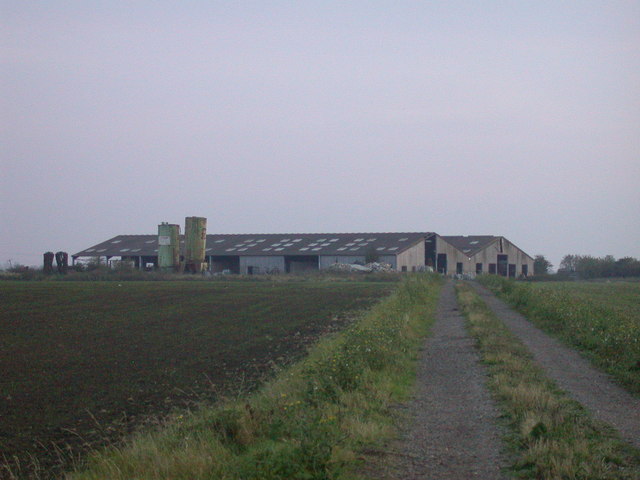
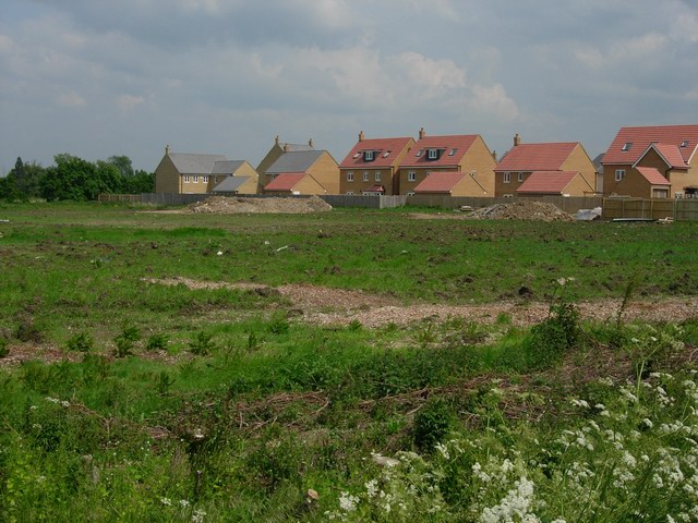
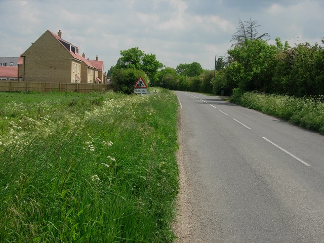
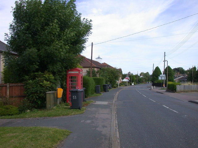
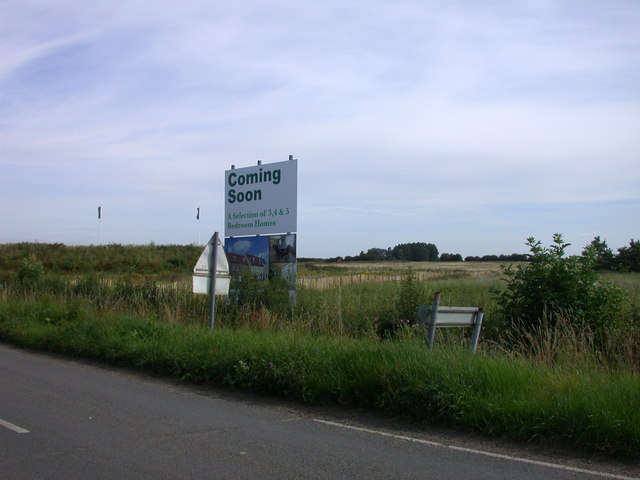
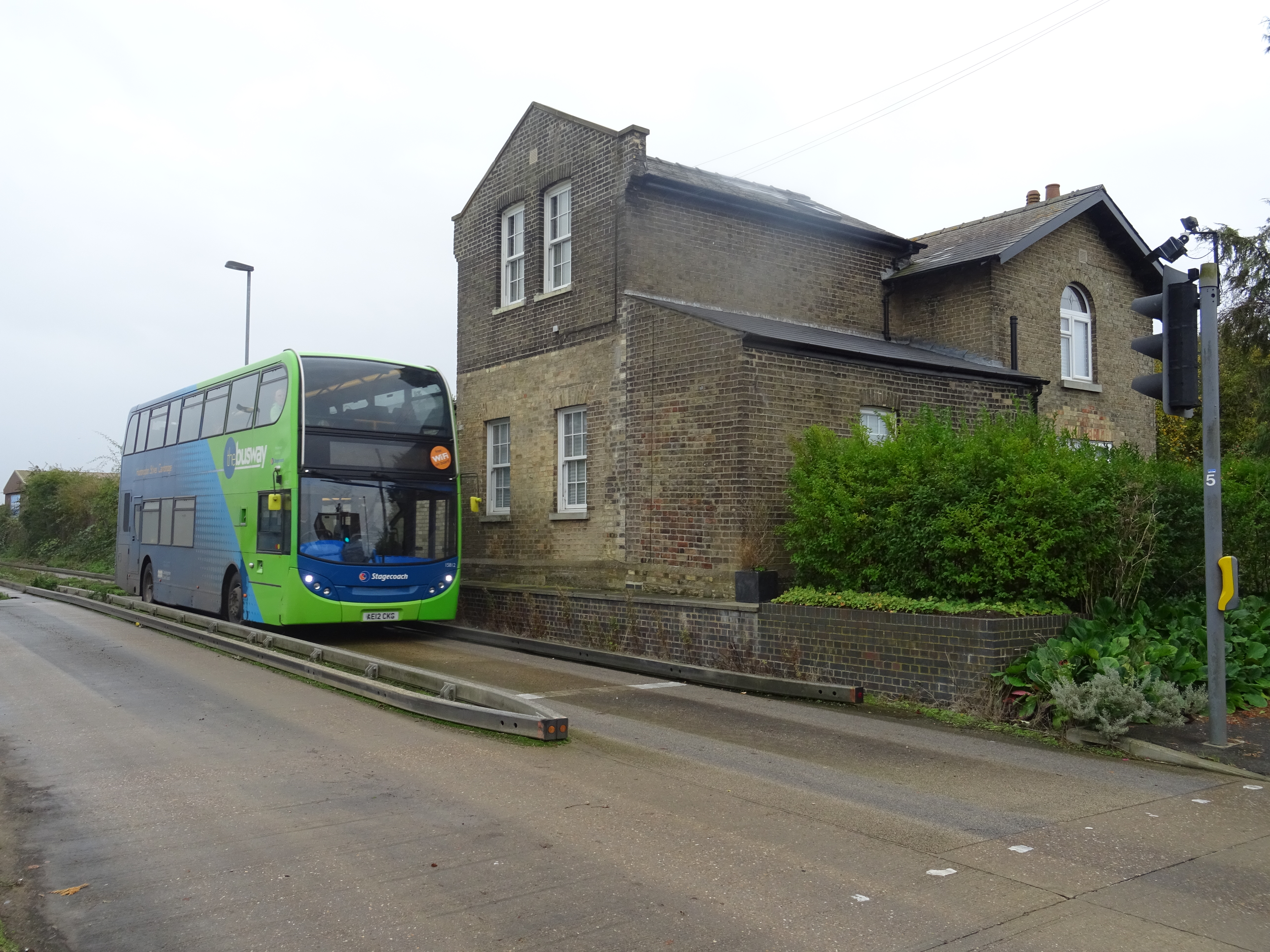
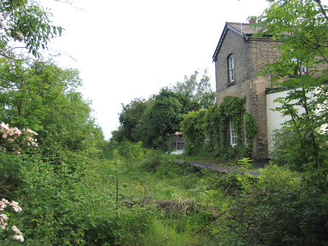
Nether Grove Images

Images are sourced within 2km of 52.279075/0.052867634 or Grid Reference TL4066. Thanks to Geograph Open Source API. All images are credited.

New roundabout, Longstanton, Cambs on Hatton's Road, in preparation for New Town development.
New roundabout, Longstanton, Cambs
on Hatton's Road, in preparation for New Town development.
All Saints' parish church, Longstanton, Cambs All Saints' church is a building of pebble and stone in the pure Decorated style that dates from the mid fourteenth century, built to replace an earlier church on the same site that was destroyed by fire, and restored in 1886-8 and 1891; the building is not currently used as a place of worship because of extensive damage caused to the Church ceiling.  <span class="nowrap"><a title="http://www.genuki.org.uk/big/eng/CAM/Longstanton/AllSaints/index.html" rel="nofollow ugc noopener" href="http://www.genuki.org.uk/big/eng/CAM/Longstanton/AllSaints/index.html">Link</a><img style="margin-left:2px;" alt="External link" title="External link - shift click to open in new window" src="https://s1.geograph.org.uk/img/external.png" width="10" height="10"/></span> and <span class="nowrap"><a title="http://friends-of-all-saints-church-longstanton.org.uk/" rel="nofollow ugc noopener" href="http://friends-of-all-saints-church-longstanton.org.uk/">Link</a><img style="margin-left:2px;" alt="External link" title="External link - shift click to open in new window" src="https://s1.geograph.org.uk/img/external.png" width="10" height="10"/></span>
All Saints' parish church, Longstanton, Cambs
All Saints' church is a building of pebble and stone in the pure Decorated style that dates from the mid fourteenth century, built to replace an earlier church on the same site that was destroyed by fire, and restored in 1886-8 and 1891; the building is not currently used as a place of worship because of extensive damage caused to the Church ceiling. LinkExternal link and LinkExternal link
Cottages on School Lane, Longstanton, Cambs
Bramble Cottage, High Street, Longstanton, Cambs
Road edge damage, Longstanton, Cambs unusual road sign at the start of Ramper Road.
Road edge damage, Longstanton, Cambs
unusual road sign at the start of Ramper Road.
Cambridge Golf Club, Longstanton, Cambs entrance on Station Road.
Cambridge Golf Club, Longstanton, Cambs
entrance on Station Road.
Cambridge Golf Club, Longstanton, Cambs – view towards the club house.
Cambridge Golf Club, Longstanton, Cambs
– view towards the club house.
Level crossing, Longstanton, Cambs On the disused Cambridge–St Ives line, closed to regular passenger traffic in 1970.
Level crossing, Longstanton, Cambs
On the disused Cambridge–St Ives line, closed to regular passenger traffic in 1970.
All Saints' Church, Longstanton
Village Institute, High Street, Longstanton
Twilight on Home Farm I have been told this is not Green End Farm as I originally thought, also that it is still in use as a grain farm, rather than the milling farm it was previously.
Twilight on Home Farm
I have been told this is not Green End Farm as I originally thought, also that it is still in use as a grain farm, rather than the milling farm it was previously.
Over Road closed Due to a bridge <a href="https://www.geograph.org.uk/photo/680951">TL3868 : Transmitter and windmill at Over</a> being rebuilt slightly wider to accommodate the guided busway being built underneath it along the old railway line.
Over Road closed
Due to a bridge TL3868 : Transmitter and windmill at Over being rebuilt slightly wider to accommodate the guided busway being built underneath it along the old railway line.
Road to Longstanton Part of cycleway 51.
Road to Longstanton
Part of cycleway 51.
New housing expanding Longstanton Common sight in Cambridgeshire villages, the land in the foreground may be being prepared for more.

Edit March 2012: The area in the foreground has indeed been developed with the houses now sold, <a href="https://www.geograph.org.uk/photo/2832380">TL3967 : New housing, Longstanton</a>
New housing expanding Longstanton
Common sight in Cambridgeshire villages, the land in the foreground may be being prepared for more. Edit March 2012: The area in the foreground has indeed been developed with the houses now sold, TL3967 : New housing, Longstanton
Road into Longstanton The village has recently expanded along this road.
Road into Longstanton
The village has recently expanded along this road.
K6 phone box in Longstanton High Street Drakes Court in the background.
K6 phone box in Longstanton High Street
Drakes Court in the background.
Coming Soon ... A Selection of 3, 4 & 5 Bedroom Houses, obviously affordable and ideal for first time buyers (!)
Coming Soon ...
A Selection of 3, 4 & 5 Bedroom Houses, obviously affordable and ideal for first time buyers (!)
Longstanton Junction, Cambridgeshire Guided Busway This guided busway junction with the Longstanton to Willingham Road replaces the old railway level crossing.
Longstanton Junction, Cambridgeshire Guided Busway
This guided busway junction with the Longstanton to Willingham Road replaces the old railway level crossing.
Show me another place!

Nether Grove is located at Grid Ref: TL4066 (Lat: 52.279075, Lng: 0.052867634)

Administrative County: Cambridgeshire

District: South Cambridgeshire

Police Authority: Cambridgeshire

What 3 Words

///baker.chapels.perplexed. Near Longstanton, Cambridgeshire

Related Wikis

Longstanton

Longstanton is a village and civil parish in South Cambridgeshire, England, 6 miles (9.7 km) north-west of Cambridge city centre. Longstanton occupies...

Northstowe

Northstowe is a new town that will eventually have up to 10,000 homes, with an anticipated population of 24,400 in Cambridgeshire, England, UK. On 1 April...

St Michael's Church, Longstanton

St Michael's Church is a redundant Anglican church in the village of Longstanton, Cambridgeshire, England. It is recorded in the National Heritage List...

Northstowe Secondary College

Northstowe Secondary College is a co-educational secondary school and sixth form located in Northstowe in the English county of Cambridgeshire.The school...

Oakington Immigration Reception Centre

Oakington Immigration Reception Centre was an immigration detention centre located in Cambridgeshire run by UK Visas and Immigration. Originally a World...

RAF Oakington

Royal Air Force Oakington or more simply RAF Oakington was a Royal Air Force station located 0.5 miles (0.80 km) north of Oakington, Cambridgeshire, England...

Long Stanton railway station

Long Stanton railway station was a station on the Great Eastern Railway, between Cambridge and Huntingdon. It served the villages of Longstanton and Willingham...

Oakington railway station

Oakington railway station was a station in Oakington, Cambridgeshire, on the line between Cambridge and St Ives. It opened in 17 August 1847 and was closed...

Nearby Amenities

Located within 500m of 52.279075,0.052867634
Disused Prison
Old Name: Oakington Immigration Removal Centre
Source Old Name: OS Opendata StreetView
Lat/Long: 52.278578/0.0584253
Bus Stop
High Street
Bin: yes
Bus: yes
Lit: yes
Naptan AtcoCode: 0500SLONN002
Naptan Bearing: SW
Naptan CommonName: High Street
Naptan Indicator: opp
Naptan Landmark: High Street
Naptan NaptanCode: cmbgajdw
Naptan ShortCommonName: High Street
Naptan Street: School Lane
Naptan Verified: no
Public Transport: platform
Shelter: yes
Source: naptan_import
Tactile Paving: no
Lat/Long: 52.2775046/0.0485569
Bus Stop
Hatton's Park
Bench: yes
Bin: yes
Bus: yes
Lit: no
Naptan AtcoCode: 0500SLONN005
Naptan Bearing: SE
Naptan CommonName: Hatton's Park
Naptan Indicator: near
Naptan Landmark: Hatton's Park
Naptan NaptanCode: cmbgajgj
Naptan ShortCommonName: Hatton's Park
Naptan Street: High Street
Naptan Verified: no
Public Transport: platform
Shelter: yes
Source: naptan_import
Tactile Paving: no
Lat/Long: 52.2803246/0.0461654
Bus Stop
High Street
Bus: yes
Naptan AtcoCode: 0500SLONN006
Naptan Bearing: NW
Naptan CommonName: High Street
Naptan Indicator: NW-bound
Naptan Landmark: Rectory Close
Naptan NaptanCode: cmbgajgm
Naptan ShortCommonName: High Street
Naptan Street: High Street
Naptan Verified: no
Public Transport: platform
Source: naptan_import
Lat/Long: 52.2781938/0.0482222
Cycle Centric
Addr City: Cambridge
Addr Housenumber: 37
Addr Postcode: CB24 3BP
Addr Street: High Street
Addr Village: Longstanton
Shop: bicycle
Website: http://www.cyclecentric.com/
Lat/Long: 52.2795367/0.0463445
Pole Barn Farm
Landuse: farm
Note Retag: CS #48756035
Lat/Long: 52.276571/0.0493656
Post Box
Collection Times: Mo-Fr 16:30; Sa 11:15
Operator: Royal Mail
Post Box Type: pillar
Ref: CB24 426
Royal Cypher: EIIR
Royal Cypher Wikidata: Q33102113
Lat/Long: 52.2785322/0.0480375
Clinic
Cygnet
Addr City: Cambridge
Addr Housenumber: 37A
Addr Postcode: CB24 3BP
Addr Street: High Street
Addr Village: Longstanton
Entrance: main
Healthcare: clinic
Website: https://www.cygnetclinic.co.uk/
Lat/Long: 52.2797049/0.0464827
Dentist
The Village Dental Practice
Addr City: Cambridge
Addr Housenumber: 37B
Addr Postcode: CB24 3BP
Addr Street: High Street
Addr Village: Longstanton
Entrance: main
Website: https://www.longstanton-dental-practice.co.uk/
Lat/Long: 52.2796722/0.0466202
The Manor Bed & Breakfast
Addr City: Cambridge
Addr Postcode: CB24 3BU
Addr Street: Woodside
Addr Village: Longstanton
Internet Access: wlan
Tourism: guest_house
Lat/Long: 52.2774496/0.0507045
Veterinary
Pet Vision
Addr City: Cambridge
Addr Housenumber: 27
Addr Postcode: CB24 3BP
Addr Street: High Street
Addr Village: Longstanton
Website: http://www.pet-vision.co.uk/
Lat/Long: 52.2791219/0.0471977
Historic: memorial
Material: stone
Memorial: war_memorial
Wikidata: Q26671453
Lat/Long: 52.2779375/0.0490952
Bicycle Parking
Bicycle Parking: ground_slots
Capacity: 3
Covered: no
Lat/Long: 52.2785249/0.0480451
Advertising: board
Board Title: All Saints' Church Longstanton
Lat/Long: 52.2780745/0.0485476
Colour: green
Man Made: water_well
Pump: manual
Lat/Long: 52.2749821/0.0540648
Power: pole
Lat/Long: 52.2756728/0.0563068
Bench
Backrest: yes
Inscription: LEST WE FORGET WE WILL REMEMBER THEM Heartfelt gratitude for your support Friends of Over and District Branch Royal British Legion Longstanton Parish Council South Cambridgeshire District Council
Material: metal
Lat/Long: 52.2778156/0.0486028
Bench
Backrest: yes
Lat/Long: 52.2787992/0.0474809
Post Box
Brand: Royal Mail
Brand Wikidata: Q638098
Brand Wikipedia: en:Royal Mail
Collection Times: Mo-Fr 09:00; Sa 07:00
Operator: Royal Mail
Operator Wikidata: Q638098
Post Box Type: lamp
Ref: CB24 555
Royal Cypher: EIIR
Royal Cypher Wikidata: Q33102113
Lat/Long: 52.281736/0.0581022
Bench
Backrest: yes
Lat/Long: 52.2776501/0.0490919
Longstanton
Man Made: village_sign
Source: survey
Tourism: artwork
Lat/Long: 52.2787777/0.047408
Bench
Backrest: yes
Lat/Long: 52.2804303/0.0461323
Entrance: yes
Lat/Long: 52.2797079/0.0507882
Entrance: yes
Lat/Long: 52.279382/0.0511601
Entrance: yes
Lat/Long: 52.2803999/0.0598538
Entrance: main
Lat/Long: 52.2792809/0.0483834
Addr City: Cambridge
Addr Housenumber: 8
Addr Postcode: CB24 3FE
Addr Street: Fairview
Addr Village: Longstanton
Lat/Long: 52.2792228/0.0483611
Addr City: Cambridge
Addr Housenumber: 26
Addr Postcode: CB24 3FE
Addr Street: Fairview
Addr Village: Longstanton
Lat/Long: 52.2792885/0.0484836
Addr City: Cambridge
Addr Housenumber: 51
Addr Postcode: CB24 3DG
Addr Street: Mills Lane
Addr Village: Longstanton
Lat/Long: 52.275958/0.0556136
Addr City: Cambridge
Addr Housenumber: 49
Addr Postcode: CB24 3DG
Addr Street: Mills Lane
Addr Village: Longstanton
Lat/Long: 52.2759625/0.0555479
Power: pole
Lat/Long: 52.2749078/0.0524107
Guyed: yes
Line Management: transition
Location Transition: yes
Power: pole
Lat/Long: 52.2746449/0.052648
Fixme: continue
Lat/Long: 52.274976/0.0523377
Cafe
Community Cafe
Cuisine: cake
Opening Hours: We 10:00-12:30
Outdoor Seating: no
Website: https://www.friends-of-all-saints-church-longstanton.co.uk/
Lat/Long: 52.278094/0.0491173
The data included in this document is from www.openstreetmap.org. The data is made available under ODbL.

Have you been to Nether Grove?

Leave your review of Nether Grove below (or comments, questions and feedback).