Richey Field

Downs, Moorland in Cambridgeshire Fenland

England

Richey Field

Pond Life - Wisbech St Mary During 2022 the pond was cleaned out, fenced and a new information board erected by the Parish Council
Pond Life - Wisbech St Mary Credit: Richard Humphrey

Richey Field is a picturesque area located in Cambridgeshire, England. Situated amidst the tranquil countryside, it is known for its stunning downs and moorland landscapes. Covering an expansive area, Richey Field offers a diverse range of natural features and habitats, making it a popular destination for nature enthusiasts.

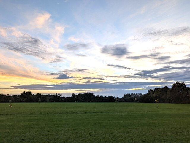
The downs in Richey Field are characterized by gentle slopes and expansive grasslands. These rolling hills provide breathtaking panoramic views of the surrounding countryside. It is not uncommon to find sheep grazing peacefully on the downs, adding to the idyllic charm of the area. The open grasslands also attract a wide variety of bird species, making it a haven for birdwatchers.

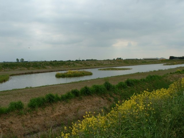
In contrast, the moorland in Richey Field offers a different experience. Moorland is characterized by its unique vegetation, including heather, cotton grass, and bracken. The vibrant purple hues of blooming heather during the summer months create a striking visual spectacle. Moorland is also home to a diverse range of wildlife, including grouse, foxes, and even the occasional deer.

Richey Field is a haven for outdoor activities such as hiking and walking. Numerous trails traverse the downs and moorland, allowing visitors to explore the area at their own pace. The tranquility and natural beauty of Richey Field make it an ideal location for those seeking a peaceful retreat away from the hustle and bustle of city life.

If you have any feedback on the listing, please let us know in the comments section below.
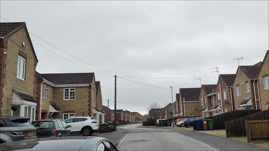
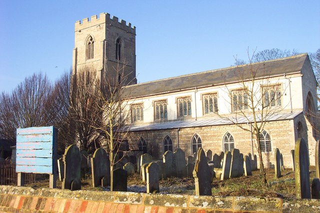
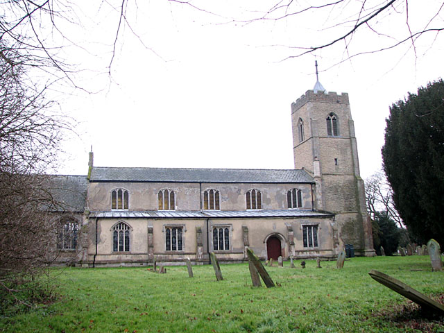
Richey Field Images

Images are sourced within 2km of 52.648728/0.074264654 or Grid Reference TF4007. Thanks to Geograph Open Source API. All images are credited.

Pond Life - Wisbech St Mary During 2022 the pond was cleaned out, fenced and a new information board erected by the Parish Council
Pond Life - Wisbech St Mary
During 2022 the pond was cleaned out, fenced and a new information board erected by the Parish Council
Development land and new housing in Wisbech St Mary Planning permission has recently been granted for houses to be built on this grass area. In the distance is a large new housing estate nearing completion called Beckett Hamlet
Development land and new housing in Wisbech St Mary
Planning permission has recently been granted for houses to be built on this grass area. In the distance is a large new housing estate nearing completion called Beckett Hamlet
Frozen parkland at Inham Hall, Wisbech St Mary
Frosted trees next to Northside Drain Next to Rummers Lane, Wisbech St Mary
Frosted trees next to Northside Drain
Next to Rummers Lane, Wisbech St Mary
A winter's day on Rummers Lane, Wisbech St Mary Rummers Lane on the left and Northside Drain on the right
A winter's day on Rummers Lane, Wisbech St Mary
Rummers Lane on the left and Northside Drain on the right
Sugar beet heap off Rummers Lane, Wisbech St Mary
Frosty dike off Rummers Lane, Wisbech St Mary
Houses under construction in Wisbech St Mary For a view in March 2020 see <a title="https://www.geograph.org.uk/photo/6426645" href="https://www.geograph.org.uk/photo/6426645">Link</a>
Houses under construction in Wisbech St Mary
For a view in March 2020 see Link
Rainbow over Sandbank, Wisbech St Mary The view from my bedroom as a child. 
There was a pot of gold at the end of this rainbow as the farmland between the barns and the end of the rainbow is now occupied by housing, see <span class="nowrap"><a title="https://www.google.com/maps/@52.6496589,0.0819716,3a,90y,197.04h,72.97t/data=!3m7!1e1!3m5!1sbVGnFaSPjGAQTmj4py7niw!2e0!5s20190301T000000!7i13312!8i6656?authuser=0&entry=ttu" rel="nofollow ugc noopener" href="https://www.google.com/maps/@52.6496589,0.0819716,3a,90y,197.04h,72.97t/data=!3m7!1e1!3m5!1sbVGnFaSPjGAQTmj4py7niw!2e0!5s20190301T000000!7i13312!8i6656?authuser=0&entry=ttu">Link</a><img style="margin-left:2px;" alt="External link" title="External link - shift click to open in new window" src="https://s1.geograph.org.uk/img/external.png" width="10" height="10"/></span>
Rainbow over Sandbank, Wisbech St Mary
The view from my bedroom as a child. There was a pot of gold at the end of this rainbow as the farmland between the barns and the end of the rainbow is now occupied by housing, see LinkExternal link
Sunset over a meadow in Wisbech St Mary
Horses at Sandbank Farm, Wisbech St Mary
The Chequers, Tholomas Drove The pub is a tied-house belonging to the independent brewer Elgoods of Wisbech.
The Chequers, Tholomas Drove
The pub is a tied-house belonging to the independent brewer Elgoods of Wisbech.
A view towards Church End, Parson Drove An early summer pastoral scene, looking across the fenland fields towards Church End and Woad Mills Farm.
A view towards Church End, Parson Drove
An early summer pastoral scene, looking across the fenland fields towards Church End and Woad Mills Farm.
New Fishery, Murrow Yet another landowner has decided there's more money to be made by digging a new fishery than growing English apples.
New Fishery, Murrow
Yet another landowner has decided there's more money to be made by digging a new fishery than growing English apples.
Lakeside, Murrow This is a relatively well-established carp fishery in mature surroundings, with a good head of decent carp and a horrible 54lb catfish which surfaces occasionally much to the horror of women and small children!
Lakeside, Murrow
This is a relatively well-established carp fishery in mature surroundings, with a good head of decent carp and a horrible 54lb catfish which surfaces occasionally much to the horror of women and small children!
St John the Baptist church. Sign has seen better days!
St John the Baptist church.
Sign has seen better days!
The Seed House A tiny house on the main road approaching Parson Drove.
The Seed House
A tiny house on the main road approaching Parson Drove.
Old shed, Seadyke, near Murrow <span class="nowrap"><a title="http://www.wisbechstmary.org.uk/index.php?option=com_frontpage&Itemid=1" rel="nofollow ugc noopener" href="http://www.wisbechstmary.org.uk/index.php?option=com_frontpage&Itemid=1">Link</a><img style="margin-left:2px;" alt="External link" title="External link - shift click to open in new window" src="https://s1.geograph.org.uk/img/external.png" width="10" height="10"/></span>
Old shed, Seadyke, near Murrow
Show me another place!

Richey Field is located at Grid Ref: TF4007 (Lat: 52.648728, Lng: 0.074264654)

Division: Isle of Ely

Administrative County: Cambridgeshire

District: Fenland

Police Authority: Cambridgeshire

What 3 Words

///tycoons.drum.encourage. Near Wisbech, Cambridgeshire

Nearby Locations

Richey Field Bunker's Hill

Related Wikis

Wisbech St Mary F.C.

Wisbech St Mary Football Club is a football club based in Wisbech St Mary, Cambridgeshire in England. The club are currently members of the Cambridgeshire...

Tholomas Drove

Tholomas Drove is a hamlet in Wisbech St Mary civil parish, part of the Fenland district in the Isle of Ely, Cambridgeshire, England. The population is...

Wisbech St Mary railway station

Wisbech St Mary railway station was a station on the Midland and Great Northern Joint Railway line between Wisbech and Peterborough. Located in Wisbech...

St John the Baptist's Church, Parson Drove

St John the Baptist's Church is a redundant Anglican church in the village of Parson Drove, Cambridgeshire, England. It is recorded in the National Heritage...

Wisbech St Mary

Wisbech St Mary is a village in the Fenland District of Cambridgeshire, England. It is 2 miles (3 km) west of the town of Wisbech. It lies between two...

FC Parson Drove

Football Club Parson Drove is a football club based in Parson Drove, Cambridgeshire, England. They are currently members of the Eastern Counties League...

Parson Drove

Parson Drove is a fen village in the Isle of Ely, Cambridgeshire, England. A linear settlement, it is 6 miles (10 km) west of Wisbech, the nearest town...

Murrow East railway station

Murrow East railway station was a station in Murrow, Cambridgeshire. It was on the Midland and Great Northern Joint Railway line between Wisbech and Peterborough...

Have you been to Richey Field?

Leave your review of Richey Field below (or comments, questions and feedback).