Lunce's Common

Downs, Moorland in Sussex Lewes

England

Lunce's Common

Path in Big Wood, Bedelands Farm A local nature reserve.
Path in Big Wood, Bedelands Farm Credit: Robin Webster

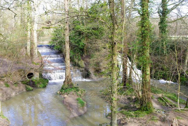
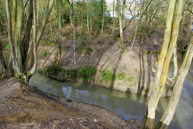
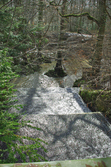
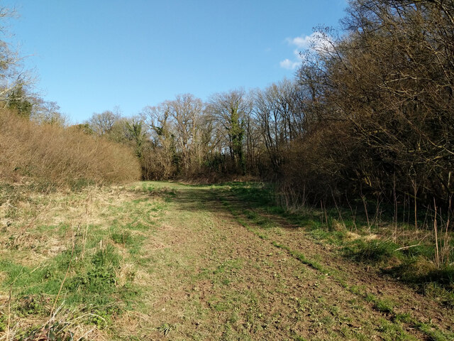
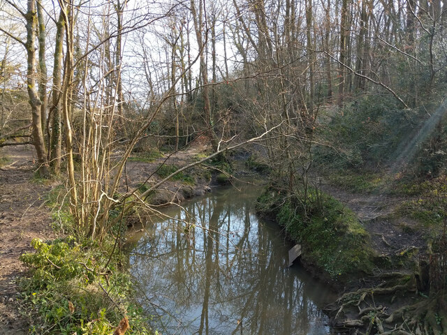
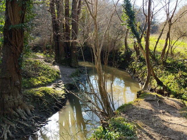
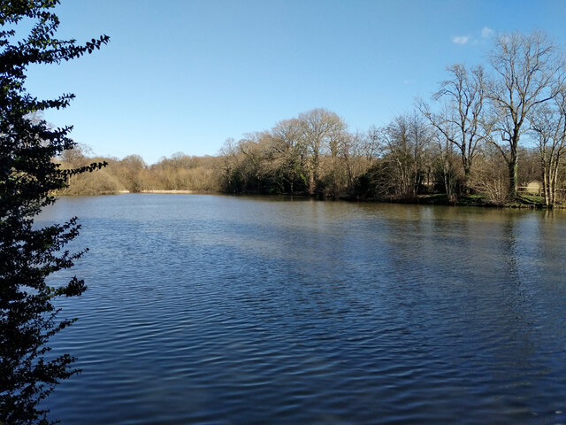
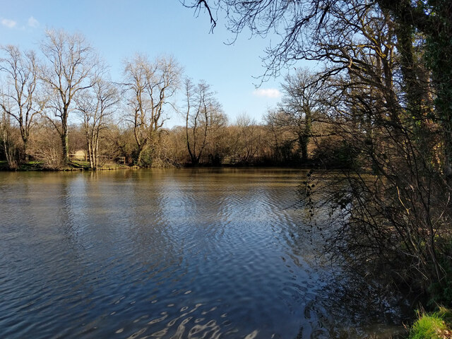
Lunce's Common is a picturesque area located in the county of Sussex, England. It is known for its stunning landscape, which encompasses a diverse range of natural features, including downs, moorland, and rolling hills. The common spans over a vast area, offering visitors and locals alike ample space to explore and appreciate the beauty of the surroundings.

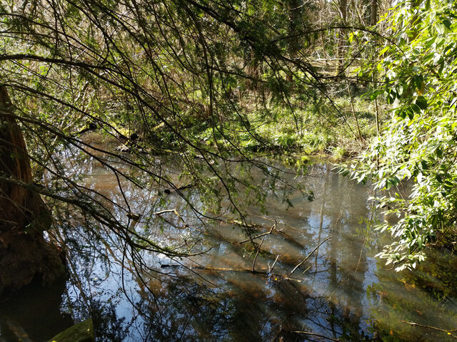
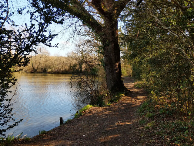
The downs in Lunce's Common are characterized by their gently sloping hills covered in lush green grass and dotted with vibrant wildflowers. They provide breathtaking views of the surrounding countryside and are a popular spot for hikers and nature enthusiasts. The moorland, on the other hand, offers a different kind of scenery, with its open expanses of heather, gorse, and bracken. This unique habitat supports a variety of wildlife, including birds, small mammals, and reptiles.

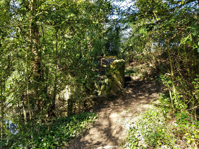
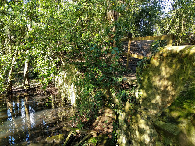
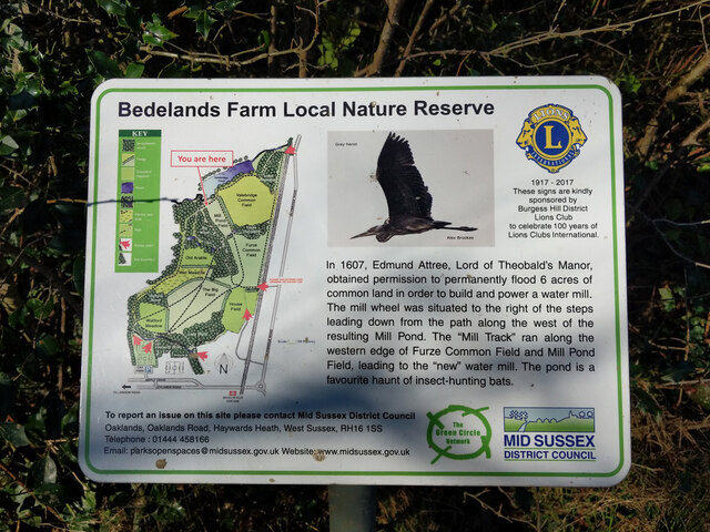
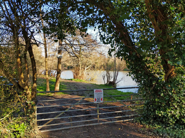
Lunce's Common is also home to a rich cultural heritage, with several historical landmarks scattered throughout the area. These include ancient burial mounds, stone circles, and remnants of old settlements, providing a glimpse into the region's past. Additionally, the common is intersected by a network of footpaths and trails, allowing visitors to explore and discover these fascinating historical sites.

Overall, Lunce's Common in Sussex is a haven for nature lovers, offering a diverse and captivating landscape that showcases the beauty of the English countryside. Whether it's trekking across the downs, immersing oneself in the tranquility of the moorland, or exploring the area's rich history, Lunce's Common has something to offer for everyone seeking a peaceful and captivating escape.

If you have any feedback on the listing, please let us know in the comments section below.

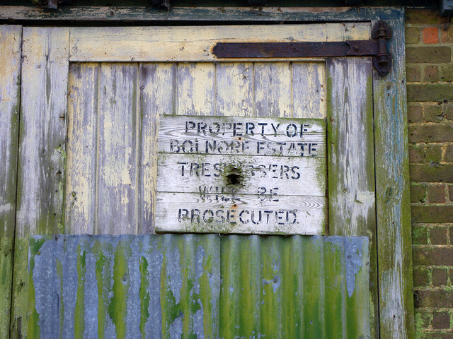
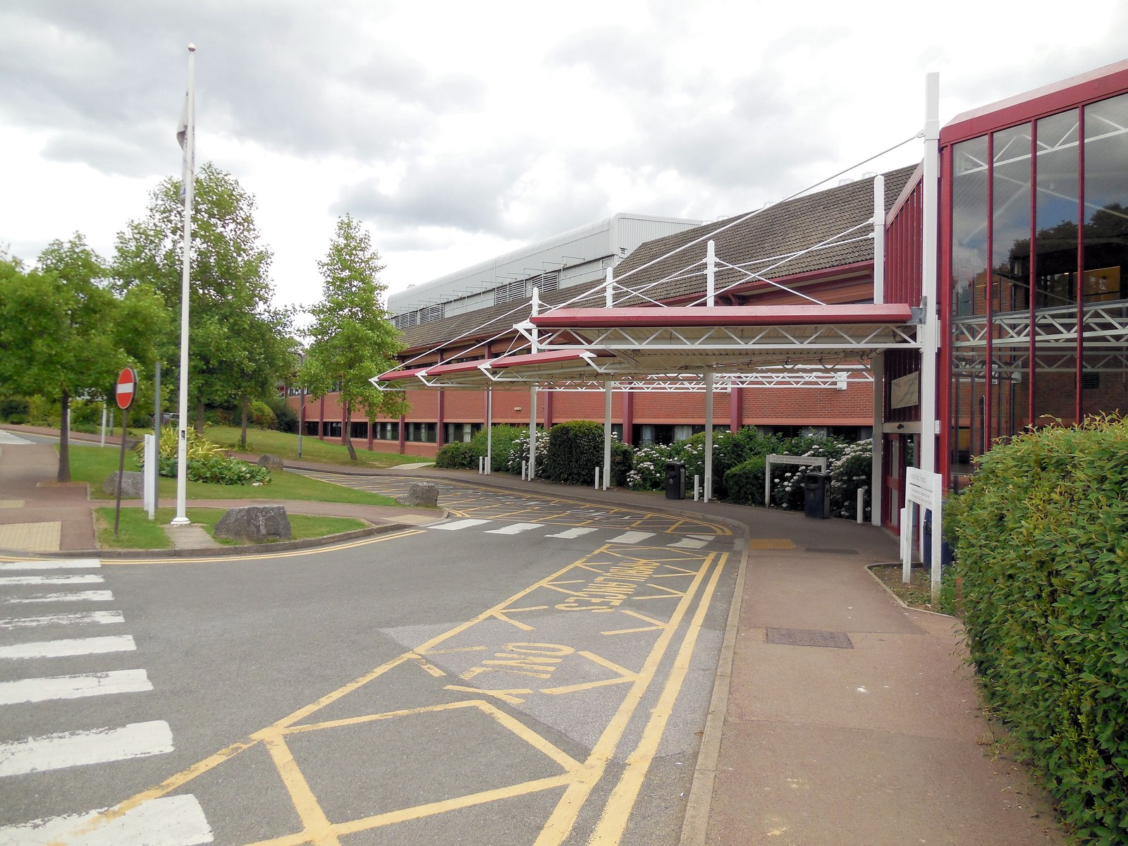
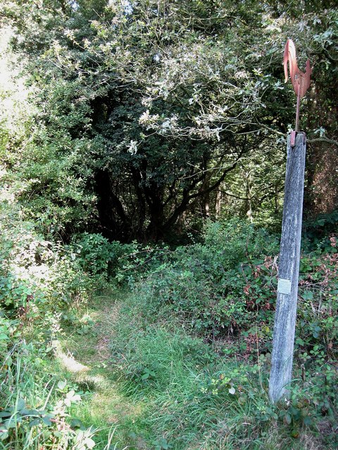
Lunce's Common Images

Images are sourced within 2km of 50.976886/-0.095252796 or Grid Reference TQ3321. Thanks to Geograph Open Source API. All images are credited.

Path in Big Wood, Bedelands Farm A local nature reserve.
Path in Big Wood, Bedelands Farm
A local nature reserve.
Spillways, Valebridge Pond On the eastern branch of the River Adur.
Spillways, Valebridge Pond
On the eastern branch of the River Adur.
Blue rope hanging over River Adur Standard equipment for such places.
Blue rope hanging over River Adur
Standard equipment for such places.
Spillway, Valebridge Pond On the eastern branch of the River Adur.
Spillway, Valebridge Pond
On the eastern branch of the River Adur.
Footpath 95CR towards Valebridge Pond
River Adur looking upstream Not far below Valebridge Pond.
River Adur looking upstream
Not far below Valebridge Pond.
River Adur looking downstream Not far below Valebridge Pond.
River Adur looking downstream
Not far below Valebridge Pond.
Footpath 95CR climbing pond bay by Valebridge Mill site There is quite a lot of masonry to the left of the path, rather hard to photograph, and that is nearly all that is left of the mill and its house beyond.
Footpath 95CR climbing pond bay by Valebridge Mill site
There is quite a lot of masonry to the left of the path, rather hard to photograph, and that is nearly all that is left of the mill and its house beyond.
Remains of Valebridge Mill Rather hard to photograph in bright dappled sunlight, there is a substantial masonry vertical rear face to the pond bay, but it is hard to work out how the mill fitted in, and all other traces visible are gone.
Remains of Valebridge Mill
Rather hard to photograph in bright dappled sunlight, there is a substantial masonry vertical rear face to the pond bay, but it is hard to work out how the mill fitted in, and all other traces visible are gone.
Tail race, former Valebridge Mill Mapped as having a sluice through the pond bay, but no mechanism was noted. The water probably largely comes from a drain from the north entering a short way below the pond bay.
Tail race, former Valebridge Mill
Mapped as having a sluice through the pond bay, but no mechanism was noted. The water probably largely comes from a drain from the north entering a short way below the pond bay.
Footpath 97CR by Valebridge Pond The path runs along the pond bay. For a brief account of the pond's origin, see <a href="https://www.geograph.org.uk/photo/7123567">TQ3121 : Informative board by Valebridge Pond</a>.
Footpath 97CR by Valebridge Pond
The path runs along the pond bay. For a brief account of the pond's origin, see TQ3121 : Informative board by Valebridge Pond.
Valebridge Pond For a brief account of the pond's origin, see <a href="https://www.geograph.org.uk/photo/7123567">TQ3121 : Informative board by Valebridge Pond</a>.
Valebridge Pond
For a brief account of the pond's origin, see TQ3121 : Informative board by Valebridge Pond.
Informative board by Valebridge Pond
Valebridge Pond For a brief account of the pond's origin, see <a href="https://www.geograph.org.uk/photo/7123567">TQ3121 : Informative board by Valebridge Pond</a>.
Valebridge Pond
For a brief account of the pond's origin, see TQ3121 : Informative board by Valebridge Pond.
Gate to north side of Valebridge Pond This side of the pond is private, the preserve of a local angling society.
Gate to north side of Valebridge Pond
This side of the pond is private, the preserve of a local angling society.
Shed by site of Valebridge Mill For a view twelve years earlier, see <a href="https://www.geograph.org.uk/photo/7126311">TQ3121 : Shed by site of Valebridge Mill</a>.
Shed by site of Valebridge Mill
For a view twelve years earlier, see TQ3121 : Shed by site of Valebridge Mill.
Sign on shed by site of Valebridge Mill For the shed, see <a href="https://www.geograph.org.uk/photo/7124613">TQ3121 : Shed by site of Valebridge Mill</a>. For the sign twelve years earlier, see <a href="https://www.geograph.org.uk/photo/7124753">TQ3121 : Sign on shed by site of Valebridge Mill</a>.
Sign on shed by site of Valebridge Mill
For the shed, see TQ3121 : Shed by site of Valebridge Mill. For the sign twelve years earlier, see TQ3121 : Sign on shed by site of Valebridge Mill.
Sign on shed by site of Valebridge Mill For the sign twelve years later, see <a href="https://www.geograph.org.uk/photo/7124733">TQ3121 : Sign on shed by site of Valebridge Mill</a>.
Sign on shed by site of Valebridge Mill
For the sign twelve years later, see TQ3121 : Sign on shed by site of Valebridge Mill.
Show me another place!

Lunce's Common is located at Grid Ref: TQ3321 (Lat: 50.976886, Lng: -0.095252796)

Administrative County: East Sussex

District: Lewes

Police Authority: Sussex

What 3 Words

///intelligible.combining.scar. Near Haywards Heath, West Sussex

Related Wikis

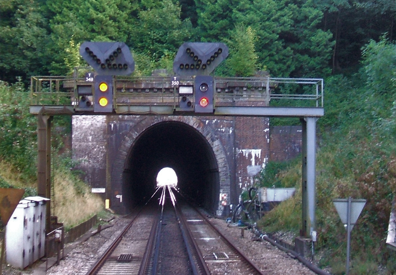
Haywards Heath Tunnel

Haywards Heath tunnel, also known as Folly Hill tunnel, is a railway tunnel on the Brighton Main Line between Haywards Heath and Wivelsfield. It is 249...

Wivelsfield

Wivelsfield () village and the larger adjacent village of Wivelsfield Green are the core of the civil parish of Wivelsfield in the Lewes District of East...

St Francis Rangers F.C.

St Francis Rangers F.C. is a football club based in Haywards Heath, England. They are currently members of the Southern Combination Division Two and play...

St Francis Hospital, Haywards Heath

St Francis Hospital was a mental health facility in Haywards Heath, West Sussex, England. The main building survives and is a Grade II listed building...

Bethel Strict Baptist Chapel, Wivelsfield

Bethel Baptist Chapel is a Strict Baptist place of worship in the village of Wivelsfield in East Sussex, England. The cause was founded in 1763 by members...

Princess Royal Hospital, Haywards Heath

The Princess Royal Hospital, also known as PRH, is an acute, teaching, general hospital located in Haywards Heath, West Sussex, England. It is the main...

Jacob's Post

Jacob's Post is a post outside the old Royal Oak pub just inside the north of Ditchling Common to the east of Burgess Hill, in Lewes district, East Sussex...

Jireh Chapel, Haywards Heath

The Jireh Chapel is a Strict Baptist place of worship in the town of Haywards Heath in the English county of West Sussex. The chapel was built in 1879...

Nearby Amenities

Located within 500m of 50.976886,-0.095252796
Pub
Fox and Hounds
Brand: Ember Inns
Brand Wikidata: Q116272278
Contact Website: https://www.emberinns.co.uk/nationalsearch/southeast/the-fox-and-hounds-fox-hill
Lat/Long: 50.981142/-0.0966752
Power: tower
Lat/Long: 50.9757434/-0.0950739
Power: tower
Lat/Long: 50.9757406/-0.0895431
Power: tower
Lat/Long: 50.9763129/-0.1003993
Lunce's Common
Place: locality
Lat/Long: 50.9775078/-0.095424
The data included in this document is from www.openstreetmap.org. The data is made available under ODbL.

Have you been to Lunce's Common?

Leave your review of Lunce's Common below (or comments, questions and feedback).