Needingworth Heath
Downs, Moorland in Huntingdonshire Huntingdonshire
England
Needingworth Heath
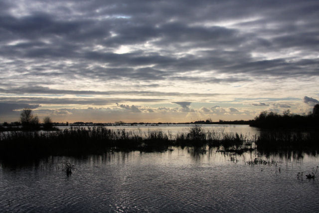
Needingworth Heath is a vast expanse of open land located in Huntingdonshire, England. Covering an area of approximately 500 acres, it is known for its scenic beauty and diverse wildlife. The heath is situated near the village of Needingworth and is a popular destination for nature enthusiasts and outdoor activities.
The terrain of Needingworth Heath is characterized by rolling hills and wide open spaces, making it ideal for walking, running, and cycling. The heath is predominantly covered in heather and gorse, giving it a distinctive purple and yellow hue during the blooming season. In addition to these plants, there are scattered patches of woodland and small ponds that provide habitats for a variety of flora and fauna.
The heath supports a rich array of wildlife, making it a haven for nature lovers. Visitors may spot various species of birds, including skylarks, meadow pipits, and stonechats. Mammals such as rabbits, foxes, and deer are also frequently seen in the area. Moreover, Needingworth Heath is home to several rare and protected species, including the silver-studded blue butterfly.
Needingworth Heath is managed by local authorities to preserve its natural beauty and protect its biodiversity. It is a designated Site of Special Scientific Interest (SSSI) due to its unique ecosystems and geological features. The heath is accessible to the public and offers various walking trails and picnic areas, providing an opportunity for visitors to immerse themselves in the tranquility of this remarkable natural landscape.
If you have any feedback on the listing, please let us know in the comments section below.
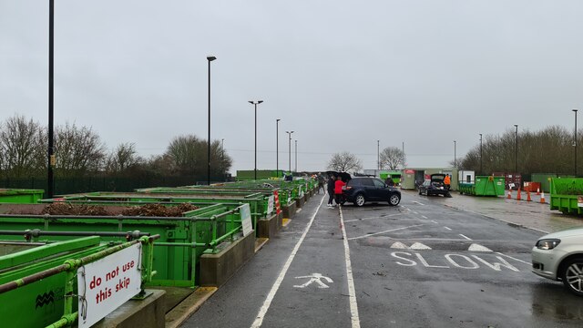
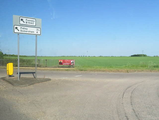
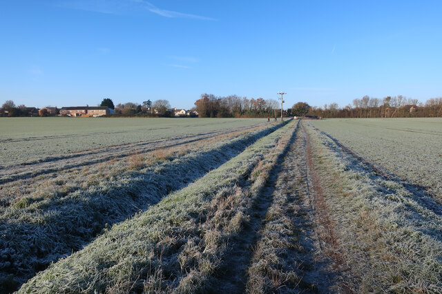
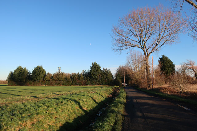
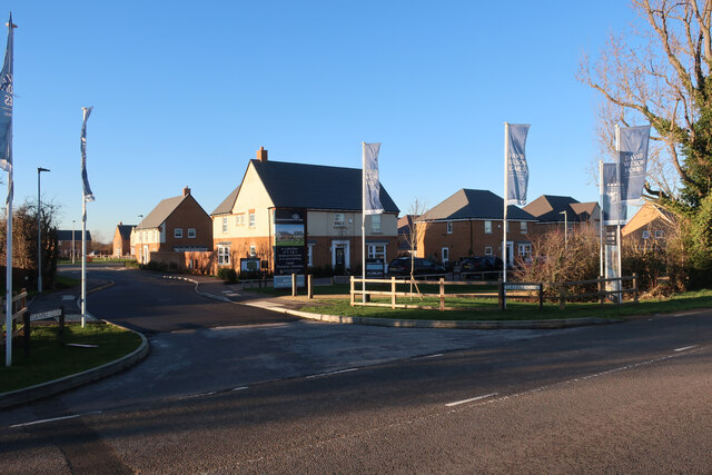
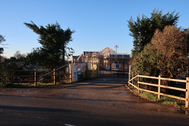
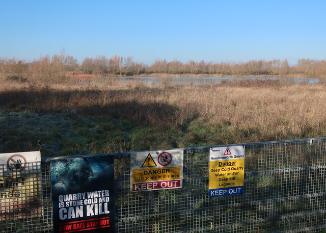
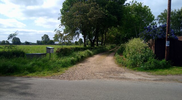
Needingworth Heath Images
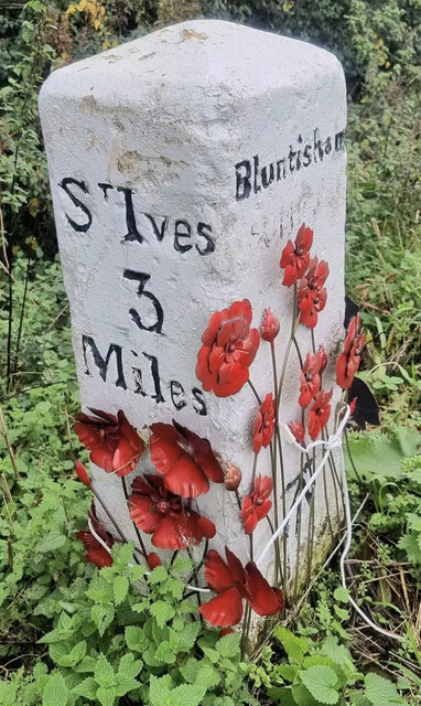
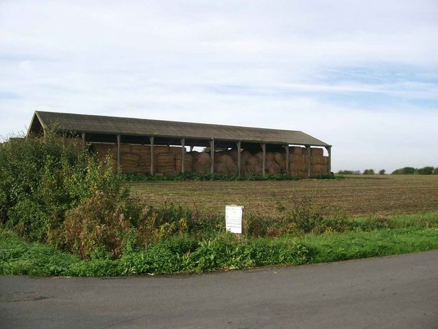
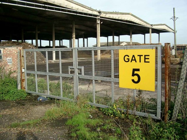
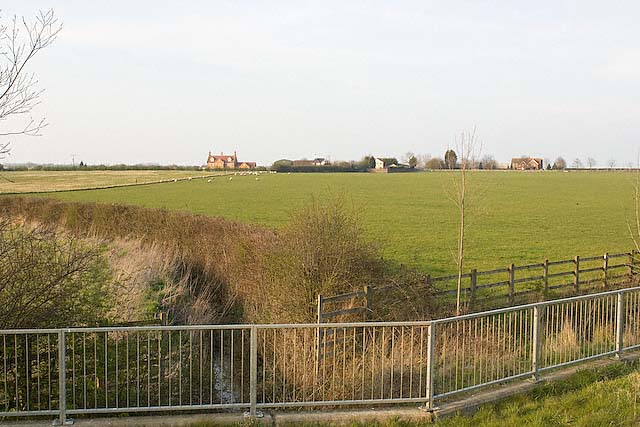
Images are sourced within 2km of 52.342094/-0.036877726 or Grid Reference TL3373. Thanks to Geograph Open Source API. All images are credited.


Needingworth Heath is located at Grid Ref: TL3373 (Lat: 52.342094, Lng: -0.036877726)
Administrative County: Cambridgeshire
District: Huntingdonshire
Police Authority: Cambridgeshire
What 3 Words
///grins.dices.tedious. Near Needingworth, Cambridgeshire
Nearby Locations
Related Wikis
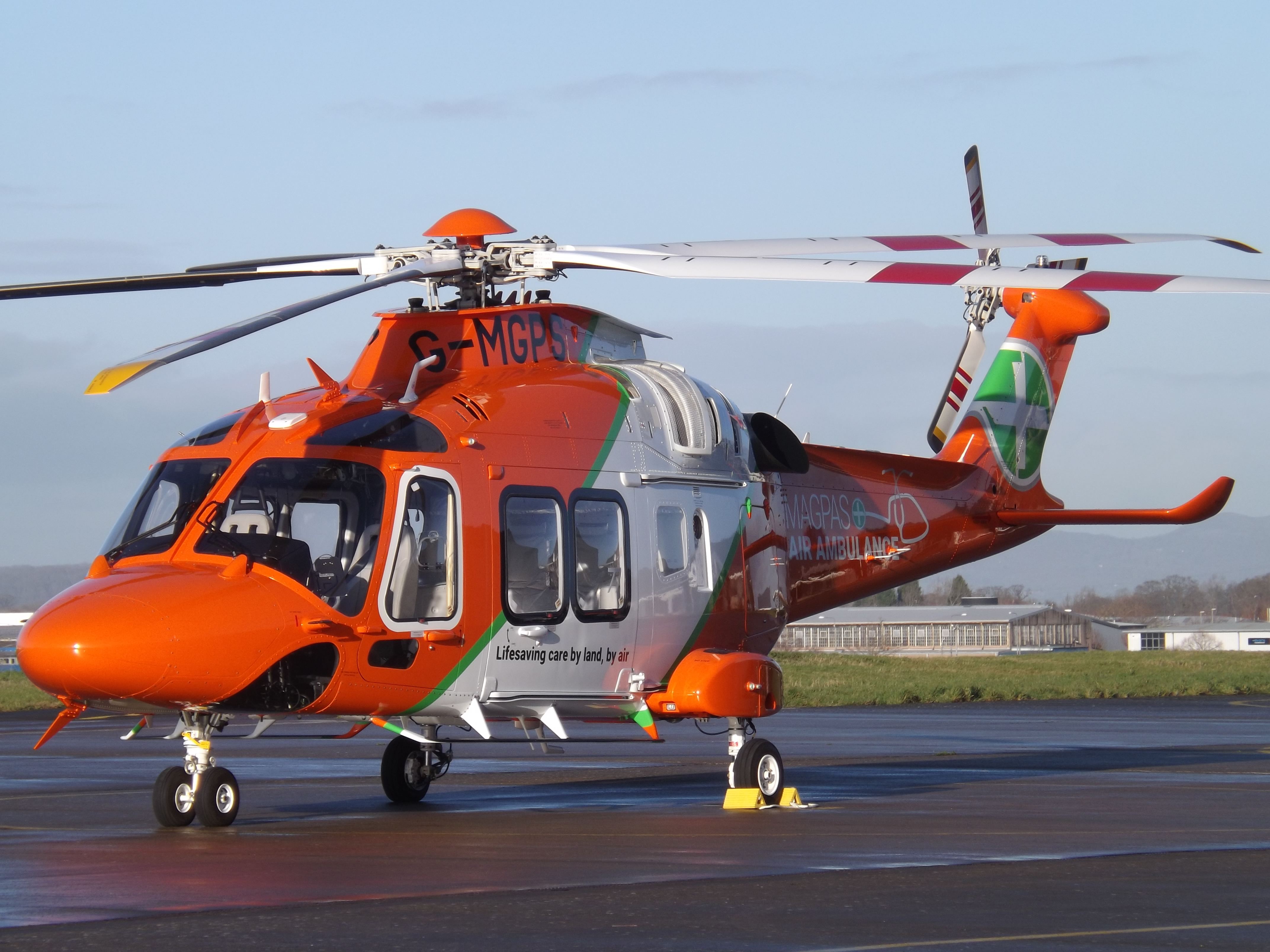
Magpas
Magpas Air Ambulance is a registered charity that operates a helicopter emergency medical service (HEMS) dedicated to the seriously ill and injured in...
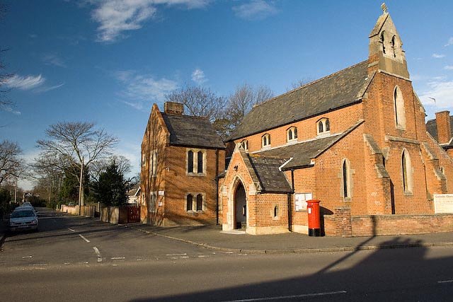
Sacred Heart Church, St Ives
Sacred Heart Church is a Roman Catholic church that serves as the parish church of St Ives, Cambridgeshire. It was originally designed and built by Augustus...

St Ives Rural District
St Ives was a rural district in Huntingdonshire from 1894 to 1974, surrounding the urban area of St Ives. It was formed under the Local Government Act...

Holywell, Cambridgeshire
Holywell is a village in Cambridgeshire, England, approximately 6 miles (10 km) east of Huntingdon, in the civil parish of Holywell-cum-Needingworth. It...

Cambridgeshire
Cambridgeshire (abbreviated Cambs.) is a ceremonial county in the East of England and East Anglia. It is bordered by Lincolnshire to the north, Norfolk...
List of Sites of Special Scientific Interest in Cambridgeshire
Cambridgeshire is a county in eastern England, with an area of 339,746 hectares (1,312 sq mi) and a population as of mid-2015 of 841,218. It is crossed...

List of local nature reserves in Cambridgeshire
Cambridgeshire is a county in eastern England, with an area of 1,308 square miles (3,390 km2) and a population as of 2011 of 708,719. It is crossed by...

Bluntisham railway station
Bluntisham railway station was a station in Bluntisham, Cambridgeshire on the Ely and St Ives Railway. The station closed for regular passenger services...
Related Videos

NORTHERN TOUR DAY ONE VLOG! LEEEEETS GO... 🚀
DAY ONE VLOG A behind the scenes of our tour where we ended up at Marstons Chicken Shop as the first stop! PERFECT.

FUNNY TAKEAWAY STORIES FROM YOU LOT!
Absolutely cracking up, you guys make my day Follow us on Insta - https://www.instagram.com/foodreviewclub/ Like us on ...

BEHIND THE SCENES - THE FUTURE OF FOOD REVIEW CLUB!
Come with us behind the scenes at FRC to see what we have in store for the future, plus, we get cooking up some Wagyu steaks ...

Food Review Club | Holy Breakfast Co Review, St Ives
I'm actually reviewing a takeaway I'm involved with, am I mad? Let us know what you think. The breakfast game levelled up!
Nearby Amenities
Located within 500m of 52.342094,-0.036877726Have you been to Needingworth Heath?
Leave your review of Needingworth Heath below (or comments, questions and feedback).