Moor Green
Downs, Moorland in Hertfordshire East Hertfordshire
England
Moor Green
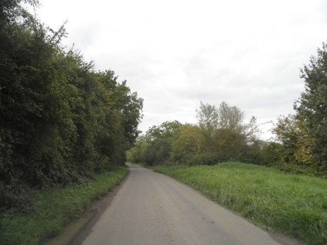
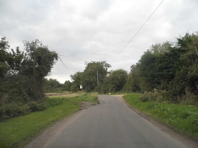
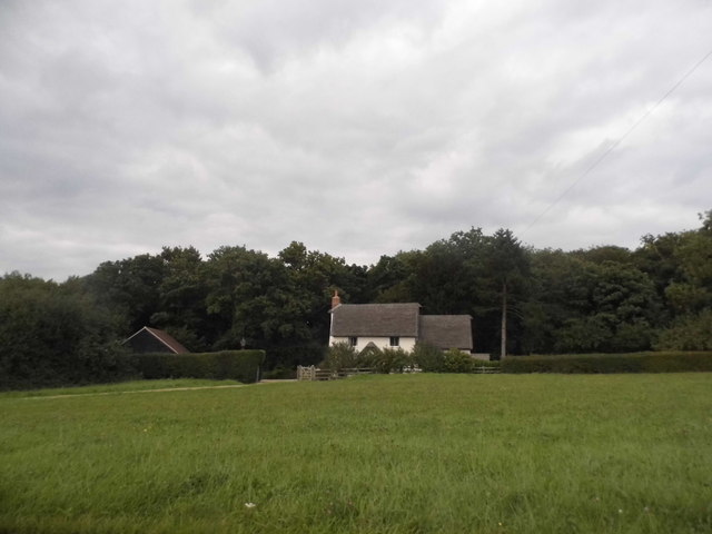
Moor Green is a charming village located in the county of Hertfordshire, England. Situated in the beautiful countryside, it is surrounded by rolling hills, lush meadows, and picturesque moorland. The village is known for its idyllic setting and tranquil atmosphere, making it a popular destination for nature lovers and those seeking a peaceful retreat.
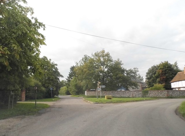
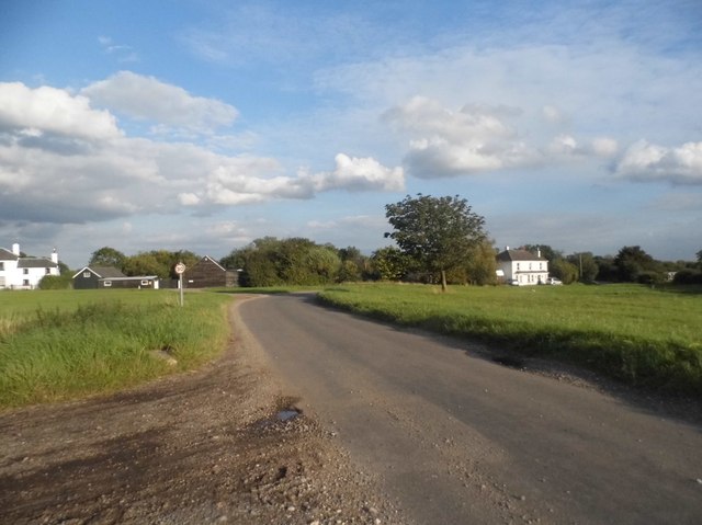
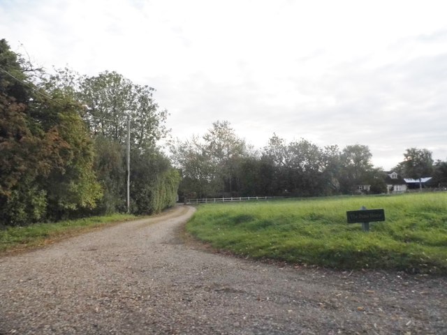
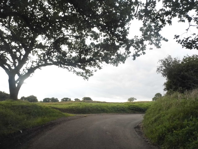
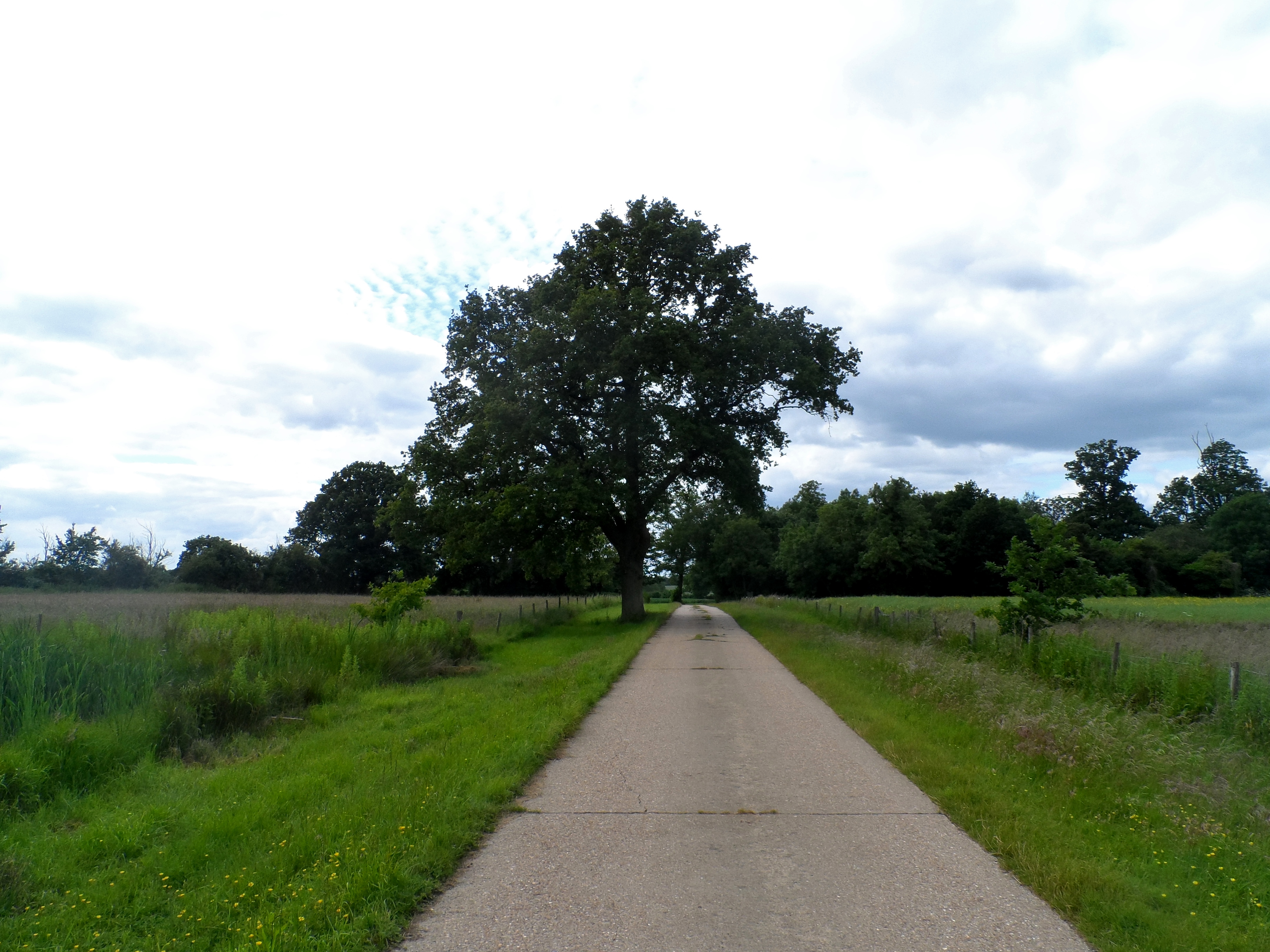
The landscape of Moor Green is predominantly characterized by its downs and moorland. The downs are undulating hills covered in grass, offering breathtaking views of the surrounding countryside. These hills provide excellent opportunities for hiking, walking, and enjoying the outdoors. The moorland, on the other hand, is covered in heather and scattered with gorse bushes, creating a unique and vibrant landscape.
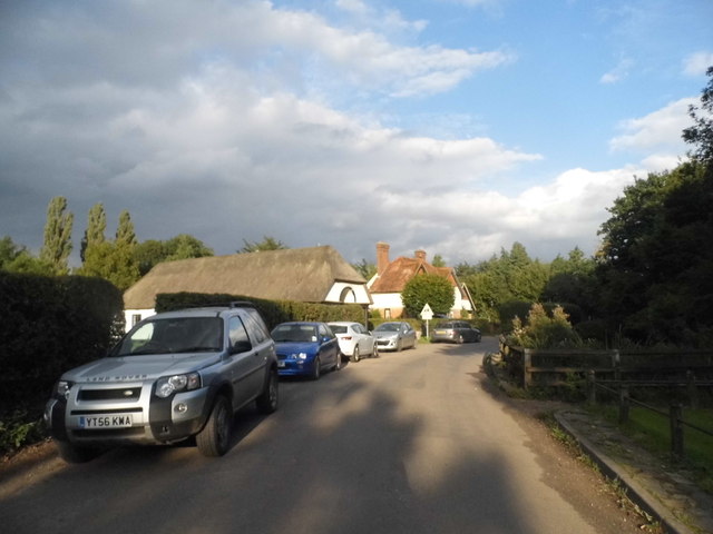
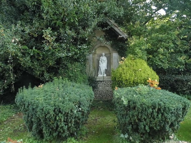
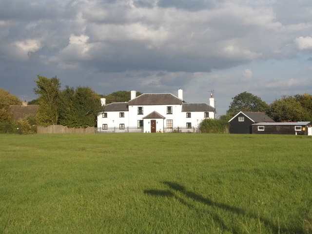
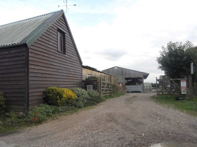
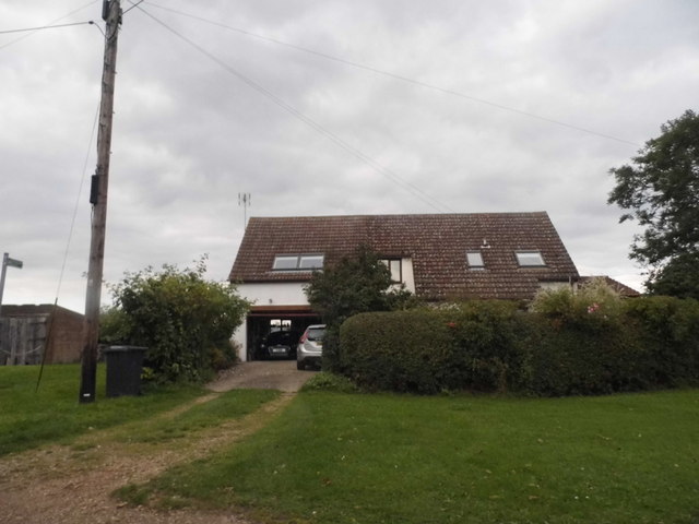
The village itself is small and has a close-knit community. It features a quaint village green, where locals often gather for events and community activities. The village also has a few charming cottages and traditional houses, adding to its charm and rustic appeal.
Despite its rural setting, Moor Green is well-connected to nearby towns and cities. The village is located within proximity to major roads, allowing for easy access to amenities and services. Additionally, there are several nearby attractions, including historic sites, country parks, and gardens, providing visitors with a variety of activities to enjoy.
Overall, Moor Green offers a peaceful and scenic escape from the hustle and bustle of city life. Its downs and moorland, along with its tight-knit community, make it a delightful destination for nature enthusiasts and those seeking a tranquil retreat in the heart of Hertfordshire.
If you have any feedback on the listing, please let us know in the comments section below.
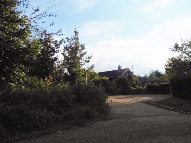
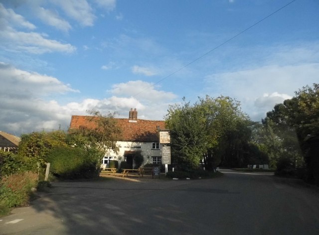
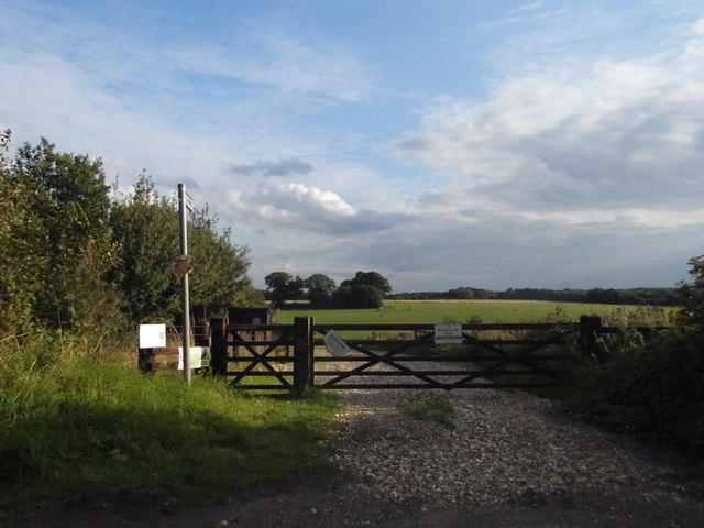
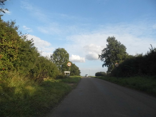
Moor Green Images
Images are sourced within 2km of 51.923572/-0.077210488 or Grid Reference TL3226. Thanks to Geograph Open Source API. All images are credited.
Moor Green is located at Grid Ref: TL3226 (Lat: 51.923572, Lng: -0.077210488)
Administrative County: Hertfordshire
District: East Hertfordshire
Police Authority: Hertfordshire
What 3 Words
///unravel.appraised.entitles. Near Walkern, Hertfordshire
Nearby Locations
Related Wikis

Moor Hall Meadows
Moor Hall Meadows is a 24.4-hectare (60-acre) biological Site of Special Scientific Interest in Moor Green in Hertfordshire. The local planning authority...

Ardeley
Ardeley is a small village and civil parish in East Hertfordshire, England. The parish includes the hamlet of Cromer, as well as Wood End and Moor Green...
Wakeley, Hertfordshire
Wakeley is a hamlet and former civil parish 14 miles (23 km) from Hertford, now in the parish of Westmill, in the East Hertfordshire district, in the county...

Button Snap
Button Snap is a 17th-century cottage in northeast Hertfordshire, that has been associated with the writer Charles Lamb. It is on a rural gravel road west...
Nearby Amenities
Located within 500m of 51.923572,-0.077210488Have you been to Moor Green?
Leave your review of Moor Green below (or comments, questions and feedback).