Oldfield Land

Downs, Moorland in Huntingdonshire Huntingdonshire

England

Oldfield Land

Burleigh Hill Farm Caravan site
Burleigh Hill Farm Caravan site Credit: Dave Thompson

Oldfield Land, located in Huntingdonshire, is a picturesque area known for its expansive downs and beautiful moorland. Spanning over acres of land, it offers a unique natural landscape that attracts visitors from near and far.

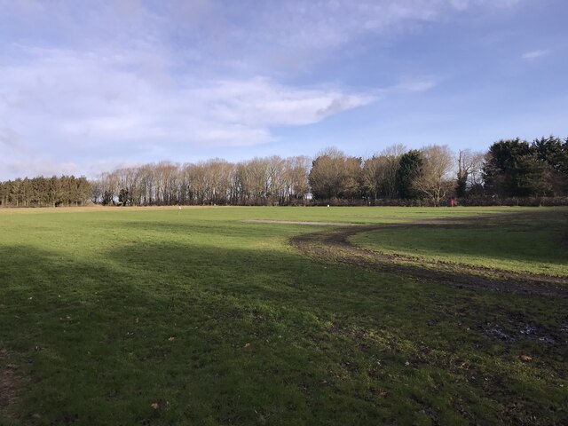
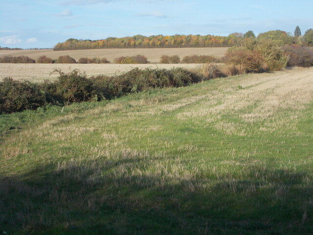
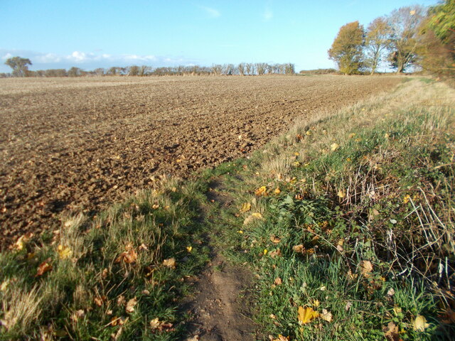
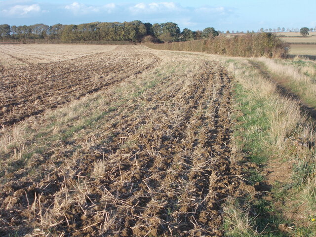
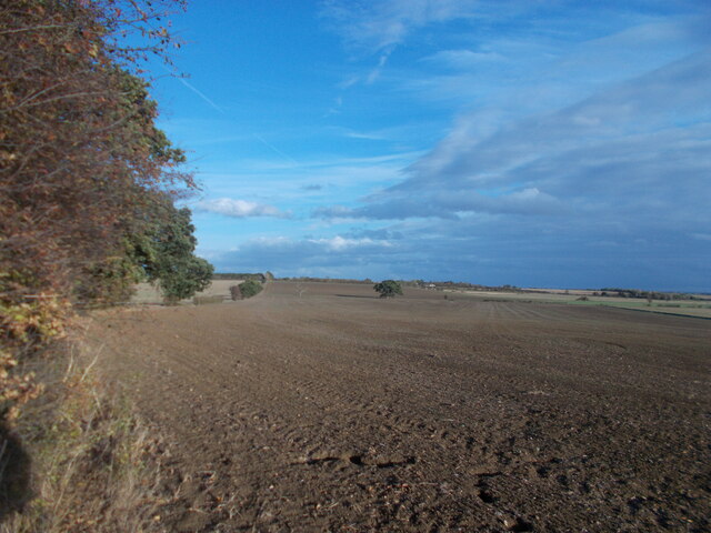
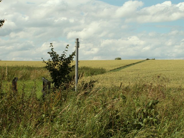
The downs of Oldfield Land are characterized by their rolling hills and open grasslands. These downs provide a breathtaking view of the surrounding countryside, with their vibrant greenery and occasional clusters of trees. They are a haven for wildlife, including various species of birds and small mammals, making it a popular spot for birdwatching and nature enthusiasts.

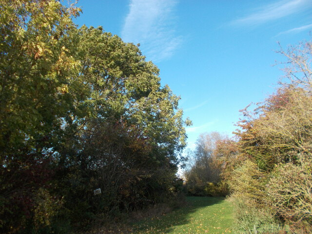
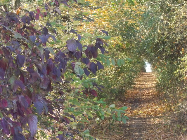
In contrast, the moorland in Oldfield Land offers a slightly different landscape. It is characterized by its marshy terrain, dotted with heather and other low-lying vegetation. The moorland is home to a variety of plant species that thrive in this unique environment, creating a visually stunning display of colors throughout the year.

Oldfield Land is also known for its historical significance. The area has a rich heritage, with ancient burial mounds and archaeological sites scattered throughout the downs and moorland. These historical remnants provide a glimpse into the area's past and add to its charm and allure.

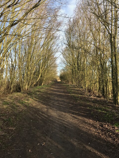
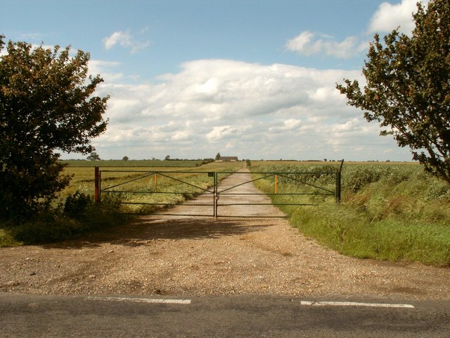
Visitors to Oldfield Land can enjoy a range of outdoor activities, including walking, hiking, and picnicking. The downs and moorland provide ample space for exploration and relaxation, allowing visitors to immerse themselves in the natural beauty of this idyllic location.

Overall, Oldfield Land in Huntingdonshire is a captivating destination, offering a blend of natural beauty, historical significance, and recreational opportunities. Whether one is seeking tranquility, adventure, or a deeper connection with nature, this area has something to offer to everyone.

If you have any feedback on the listing, please let us know in the comments section below.

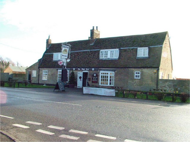
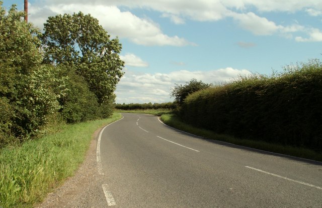
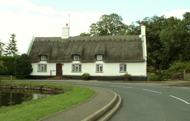
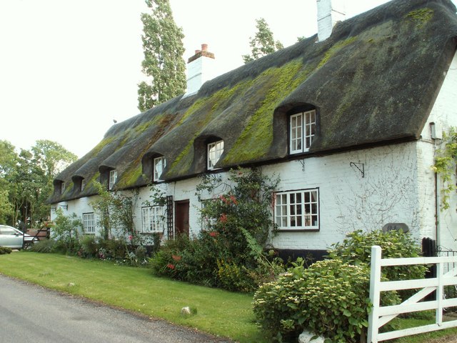
Oldfield Land Images

Images are sourced within 2km of 52.365286/-0.0577496 or Grid Reference TL3275. Thanks to Geograph Open Source API. All images are credited.

Burleigh Hill Farm Caravan site
Track to Woodhurst
Track to Woodhurst
Woodhurst village pond
Woodhurst parish church
Field path on the edge of St Ives From this point on the edge of the St Ives perimeter road, Marley Road, a public footpath leads to the ring village of Woodhurst a couple of miles away. The Via Beata walking route, leading to Woodhurst, passes through the autumnal-looking copse on the horizon in this photo.
Field path on the edge of St Ives
From this point on the edge of the St Ives perimeter road, Marley Road, a public footpath leads to the ring village of Woodhurst a couple of miles away. The Via Beata walking route, leading to Woodhurst, passes through the autumnal-looking copse on the horizon in this photo.
Grassy area near to Burleigh Farm The way ahead appears to lead invitingly on at this point but the Via Beata route, leading to the ring village of Woodhurst, takes a sharp left turn here through a copse.
Grassy area near to Burleigh Farm
The way ahead appears to lead invitingly on at this point but the Via Beata route, leading to the ring village of Woodhurst, takes a sharp left turn here through a copse.
Path through the copse south west of Burleigh Farm At the copse, the Via Beata switches sharp left before turning right at the end of the woods, thus bypassing the farm. This copse is clearly seen atop a rise from the St Ives perimeter road. The change of direction is not immediately obvious when approaching from the south as the way ahead appears to lead invitingly on but to do so only means retracing your steps back to this point as it leads to the farm and is not a continuation route with public access.
Path through the copse south west of Burleigh Farm
At the copse, the Via Beata switches sharp left before turning right at the end of the woods, thus bypassing the farm. This copse is clearly seen atop a rise from the St Ives perimeter road. The change of direction is not immediately obvious when approaching from the south as the way ahead appears to lead invitingly on but to do so only means retracing your steps back to this point as it leads to the farm and is not a continuation route with public access.
Field edge path leading towards Woodhurst
On the Via Beata between St Ives and Woodhurst This path between St Ives and Woodhurst borders a field edge before continuing ahead through deciduous woodland to the village of Woodhurst.
On the Via Beata between St Ives and Woodhurst
This path between St Ives and Woodhurst borders a field edge before continuing ahead through deciduous woodland to the village of Woodhurst.
Last view of the open landscape before entering woodland.
Woodhurst village This appears to be the usual shot of the village with the pond in the foreground. As this is a ring village, there is no excuse for getting lost since, by following the road ahead, you arrive back at the point where you started ! Hurst, as part of a place name, means a grove or wooded hillock and this is an appropriate name for the village.
Woodhurst village
This appears to be the usual shot of the village with the pond in the foreground. As this is a ring village, there is no excuse for getting lost since, by following the road ahead, you arrive back at the point where you started ! Hurst, as part of a place name, means a grove or wooded hillock and this is an appropriate name for the village.
Mushroom compost plant
The Mad Cat Inn at Pidley
Public footpath to Pidley church
The road to Pidley Lodge Farm
The road into Woodhurst from Oldhurst
Thatched cottage at Woodhurst This is known as Horseshoe Cottage and was once a public house called 'The Three Horseshoes'
Thatched cottage at Woodhurst
This is known as Horseshoe Cottage and was once a public house called 'The Three Horseshoes'
Cottages at Woodhurst, in South Street
Show me another place!

Oldfield Land is located at Grid Ref: TL3275 (Lat: 52.365286, Lng: -0.0577496)

Administrative County: Cambridgeshire

District: Huntingdonshire

Police Authority: Cambridgeshire

What 3 Words

///ballparks.before.access. Near Needingworth, Cambridgeshire

Related Wikis

St Ives Rural District

St Ives was a rural district in Huntingdonshire from 1894 to 1974, surrounding the urban area of St Ives. It was formed under the Local Government Act...

Woodhurst

Woodhurst is a village and civil parish in Cambridgeshire, England. Woodhurst lies approximately 5 miles (8 km) north-east of Huntingdon and just north...

Pidley

Pidley is a small village in Cambridgeshire, England. Pidley lies approximately 7 miles (11 km) north-east of Huntingdon. Together with the neighbouring...

Old Hurst

Old Hurst is a village and civil parish in Cambridgeshire, England, approximately 5 miles (8 km) north-east of Huntingdon. It is situated within Huntingdonshire...

Nearby Amenities

Located within 500m of 52.365286,-0.0577496
Power: transformer
Lat/Long: 52.3682269/-0.0631473
The data included in this document is from www.openstreetmap.org. The data is made available under ODbL.

Have you been to Oldfield Land?

Leave your review of Oldfield Land below (or comments, questions and feedback).