Moor Green
Settlement in Hertfordshire East Hertfordshire
England
Moor Green
Moor Green is a small village located in the county of Hertfordshire, England. Situated approximately 30 miles north of London, Moor Green is known for its picturesque countryside and charming rural atmosphere. The village is part of the Three Rivers District, which encompasses several other nearby villages and towns.
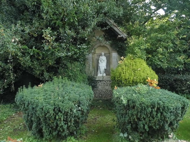
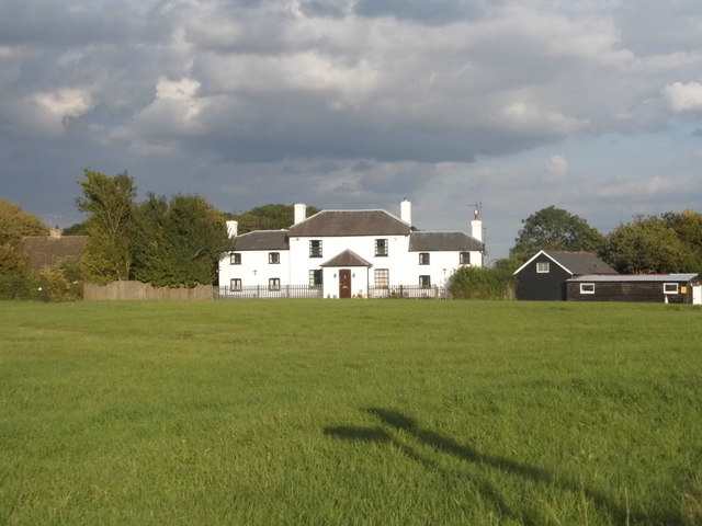
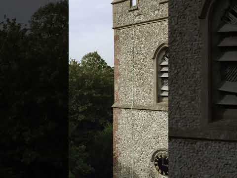
Despite its small size, Moor Green boasts a rich history that dates back to medieval times. The village is home to a number of historic buildings, including St. Mary's Church, which dates back to the 13th century and is a prominent feature of the village's landscape. The church is known for its beautiful stained glass windows and impressive architecture.
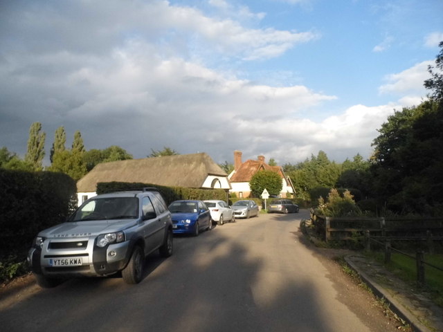
Moor Green offers a range of amenities for its residents and visitors. The village has a primary school, providing education for local children, as well as a village hall that hosts various community events and activities. There are also a few local shops and pubs where residents can gather and socialize.
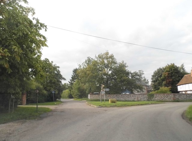
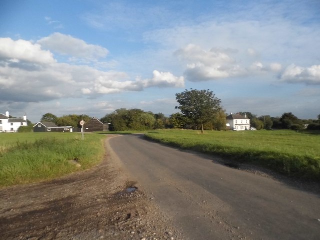
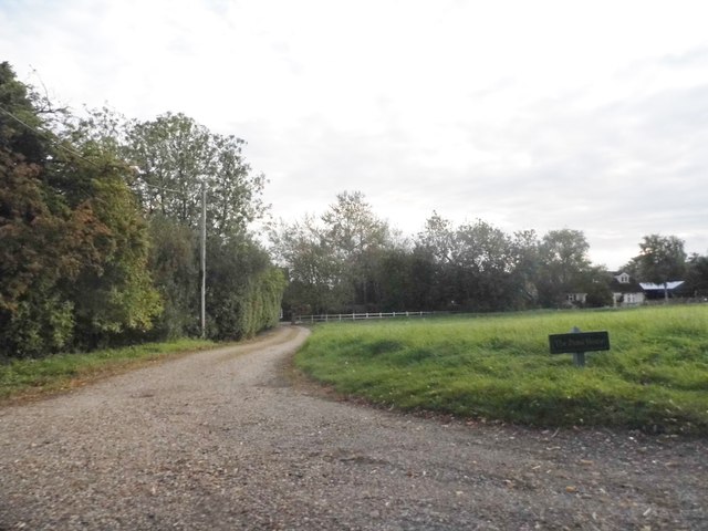
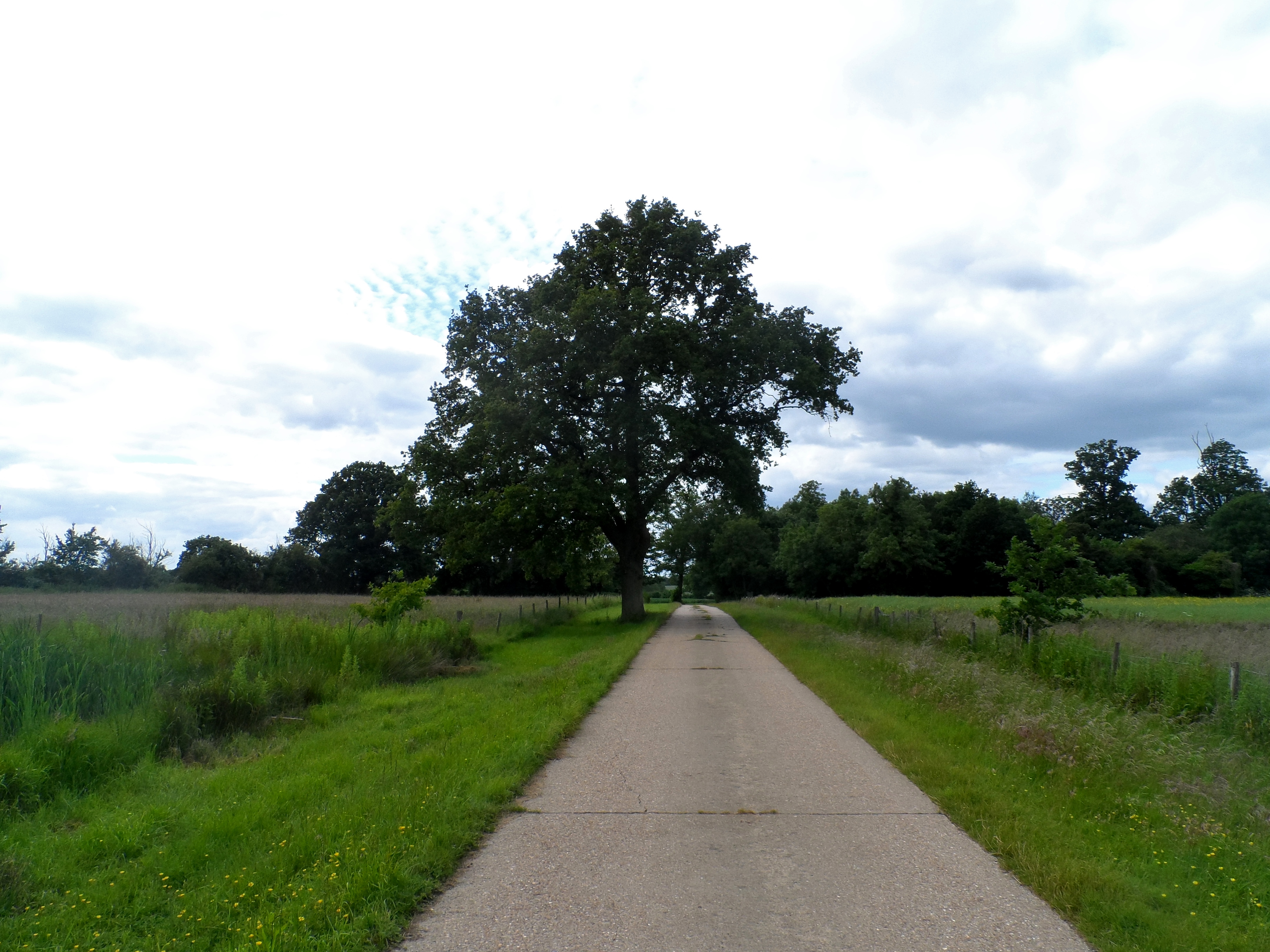
The surrounding area of Moor Green is characterized by its rolling hills, open fields, and woodlands, making it a popular destination for outdoor enthusiasts. The village is surrounded by several walking and cycling routes, offering opportunities to explore the beautiful countryside.
Overall, Moor Green is a tranquil and idyllic village that offers a peaceful escape from the hustle and bustle of nearby urban areas. With its rich history, stunning landscapes, and tight-knit community, Moor Green is a hidden gem in the heart of Hertfordshire.
If you have any feedback on the listing, please let us know in the comments section below.
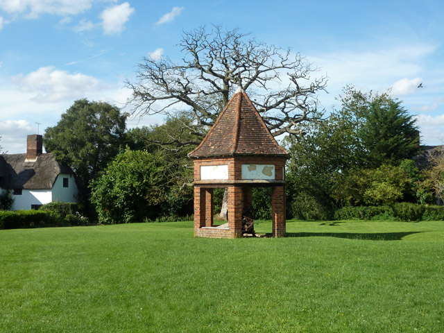
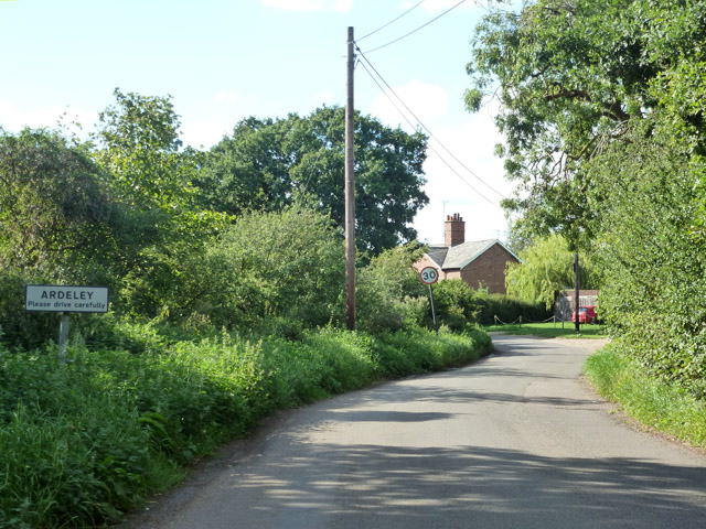
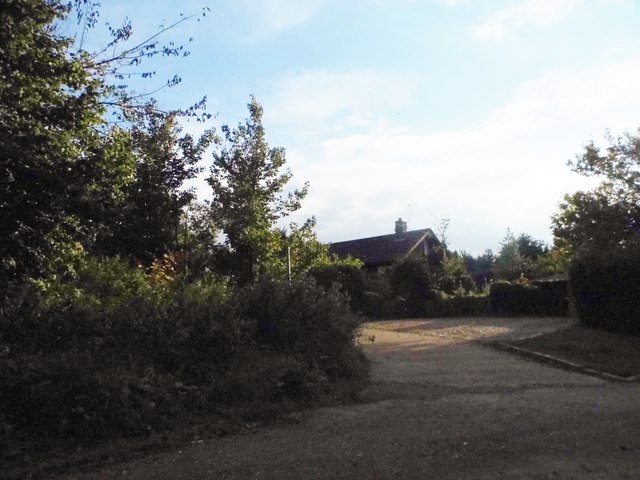
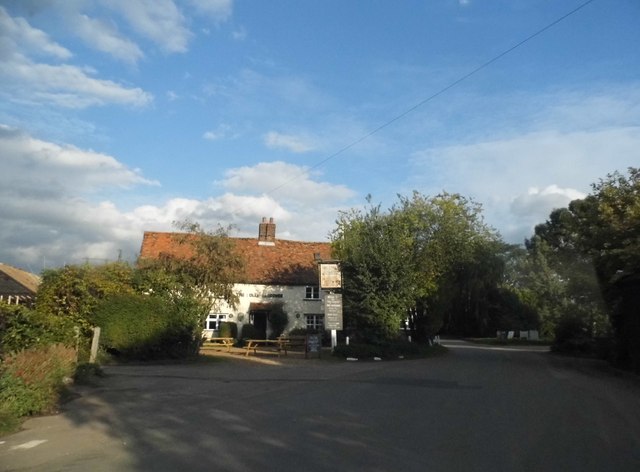
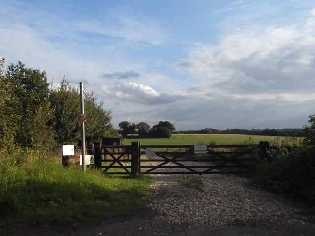
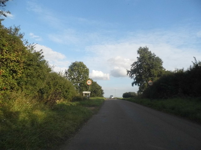
Moor Green Images
Images are sourced within 2km of 51.922563/-0.07547934 or Grid Reference TL3226. Thanks to Geograph Open Source API. All images are credited.


Moor Green is located at Grid Ref: TL3226 (Lat: 51.922563, Lng: -0.07547934)
Administrative County: Hertfordshire
District: East Hertfordshire
Police Authority: Hertfordshire
What 3 Words
///grades.splinters.dandelions. Near Walkern, Hertfordshire
Nearby Locations
Related Wikis

Moor Hall Meadows
Moor Hall Meadows is a 24.4-hectare (60-acre) biological Site of Special Scientific Interest in Moor Green in Hertfordshire. The local planning authority...

Ardeley
Ardeley is a small village and civil parish in East Hertfordshire, England. The parish includes the hamlet of Cromer, as well as Wood End and Moor Green...
Wakeley, Hertfordshire
Wakeley is a hamlet and former civil parish 14 miles (23 km) from Hertford, now in the parish of Westmill, in the East Hertfordshire district, in the county...

Button Snap
Button Snap is a 17th-century cottage in northeast Hertfordshire, that has been associated with the writer Charles Lamb. It is on a rural gravel road west...
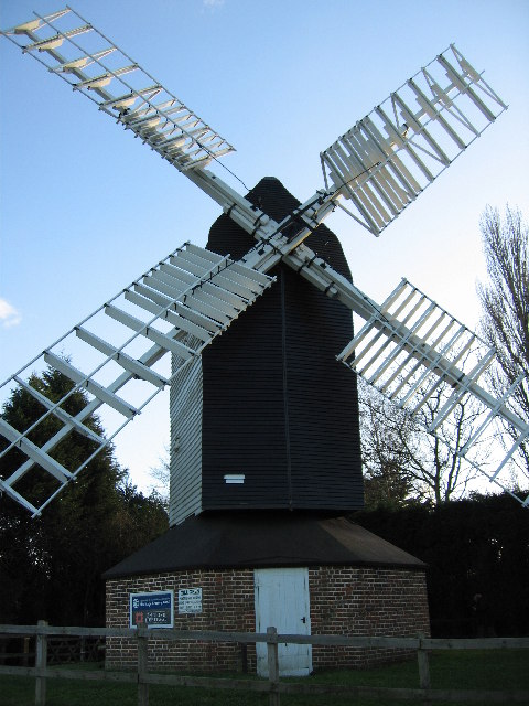
Cromer Windmill, Ardeley
Cromer Windmill, restored in four stages between 1967 and 1998, is a Grade II* listed post mill at Cromer, Ardeley, Hertfordshire, England. == History... ==
Cherry Green, Hertfordshire
Cherry Green is a hamlet in the East Hertfordshire District, in the county of Hertfordshire, England. The post town for Cherry Green is the nearby town...

North East Hertfordshire (UK Parliament constituency)
North East Hertfordshire is a constituency represented in the House of Commons of the UK Parliament since 1997 by Oliver Heald, a Conservative. == Constituency... ==

Cottered
Cottered is a village and civil parish 3 miles (4.8 km) west of Buntingford and 6 miles (9.7 km) east of Baldock in the East Hertfordshire District of...
Related Videos


Camp Meet Up | campfire cooking | @southbucksbushcraft6572 @jay3825.
A great camp meet up with @southbucksbushcraft6572 @jay3825 lots of great campfire cooking knife and axe sharpening , using ...

Church Farm
2 days camping at church farm with the kids June 2018.
Nearby Amenities
Located within 500m of 51.922563,-0.07547934Have you been to Moor Green?
Leave your review of Moor Green below (or comments, questions and feedback).