Kimpton's Wood
Wood, Forest in Hertfordshire East Hertfordshire
England
Kimpton's Wood
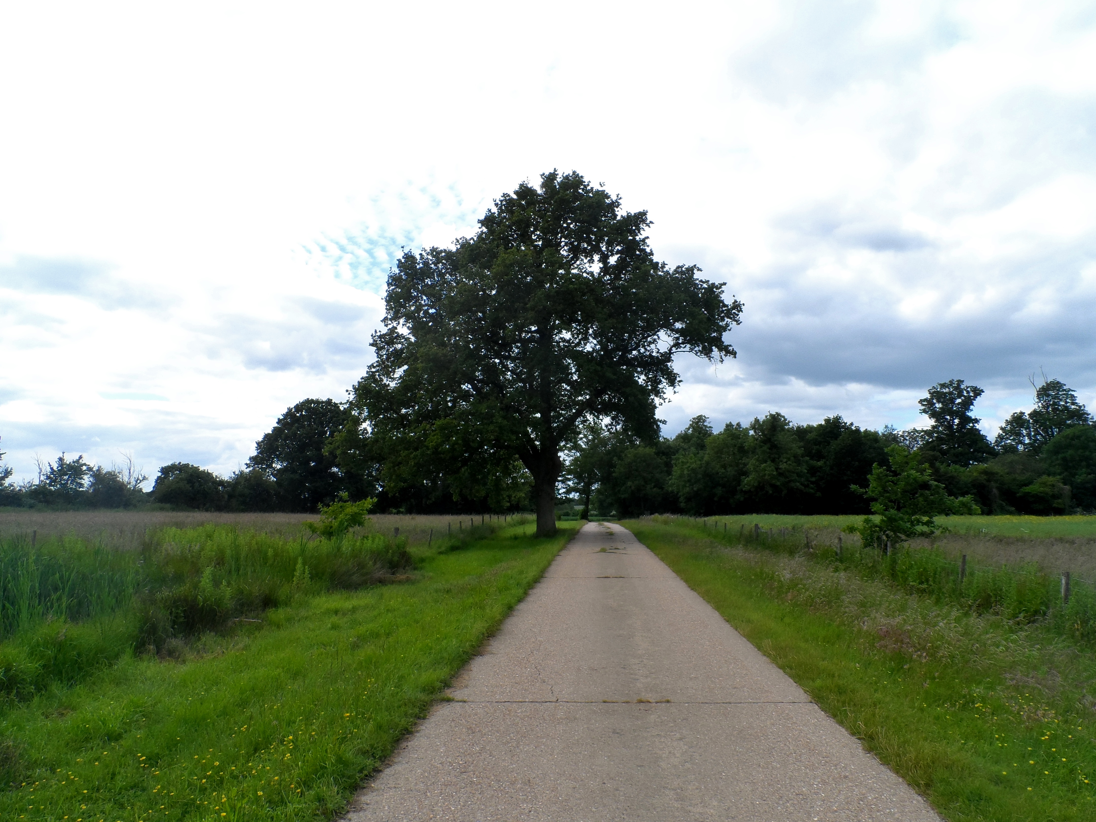
Kimpton's Wood is a picturesque forest located in Hertfordshire, England. Spread across an area of approximately 100 acres, this woodland is known for its natural beauty and diverse flora and fauna.
The woodland is primarily composed of native species such as oak, beech, and ash trees, creating a dense canopy that provides a habitat for a variety of wildlife. Visitors to Kimpton's Wood can expect to see a range of bird species, including woodpeckers, owls, and various songbirds. The forest floor is adorned with a carpet of wildflowers during the spring and summer months, adding a burst of color to the surroundings.
Kimpton's Wood is a popular destination for nature enthusiasts, hikers, and families looking to enjoy the outdoors. The forest offers several well-maintained walking trails, allowing visitors to explore the woodland at their own pace. These trails provide stunning views of the surrounding countryside, making it an ideal spot for photography enthusiasts.
In addition to its natural beauty, Kimpton's Wood also has historical significance. The forest has been used for timber production for centuries, with evidence of human activity dating back to the medieval period. Today, remnants of old saw pits and charcoal hearths can still be found within the woodland, serving as reminders of its past.
Overall, Kimpton's Wood is a tranquil and enchanting destination that offers a unique blend of natural beauty and historical charm. Whether it's a leisurely walk, birdwatching, or simply enjoying the peaceful atmosphere, this forest has something to offer for everyone.
If you have any feedback on the listing, please let us know in the comments section below.
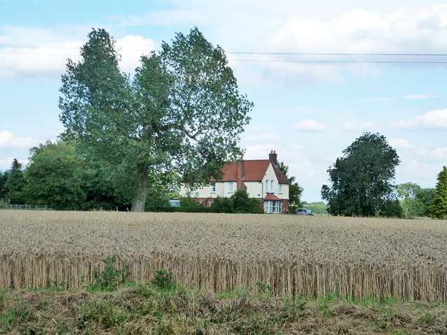
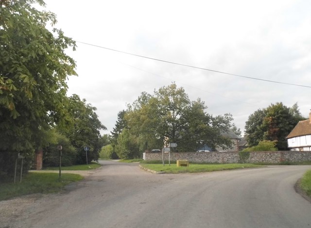
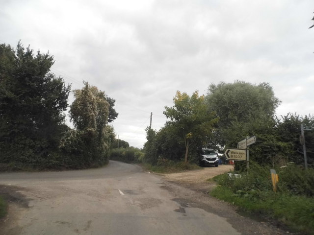
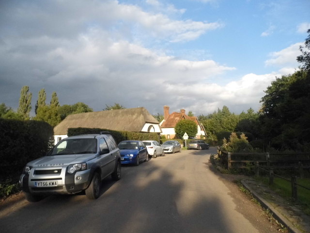
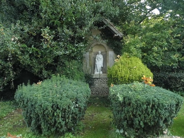
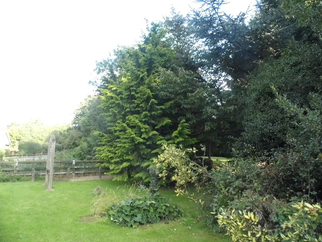
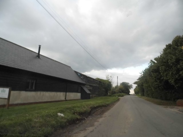
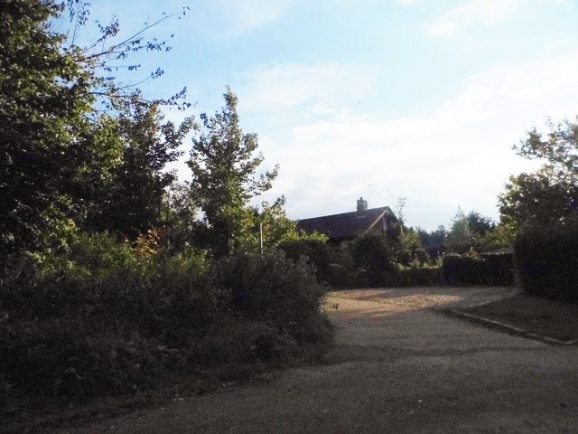
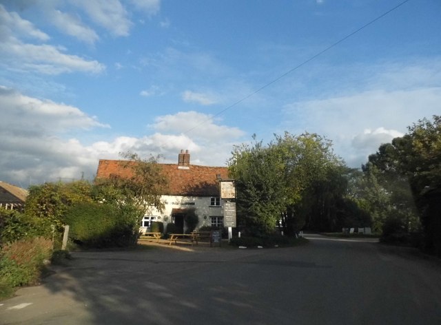
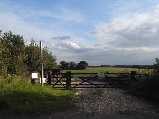
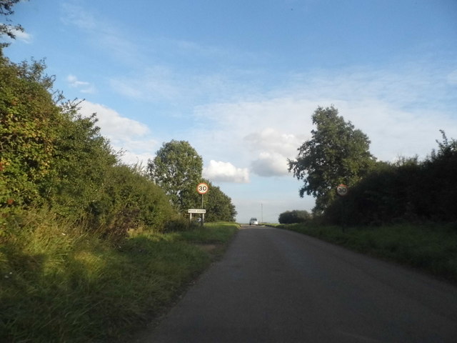
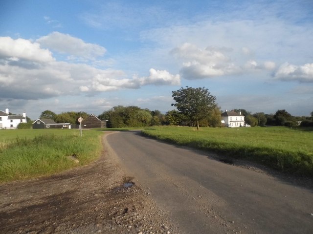
Kimpton's Wood Images
Images are sourced within 2km of 51.924535/-0.080005344 or Grid Reference TL3226. Thanks to Geograph Open Source API. All images are credited.


Kimpton's Wood is located at Grid Ref: TL3226 (Lat: 51.924535, Lng: -0.080005344)
Administrative County: Hertfordshire
District: East Hertfordshire
Police Authority: Hertfordshire
What 3 Words
///dorms.locate.fragments. Near Walkern, Hertfordshire
Nearby Locations
Related Wikis

Moor Hall Meadows
Moor Hall Meadows is a 24.4-hectare (60-acre) biological Site of Special Scientific Interest in Moor Green in Hertfordshire. The local planning authority...

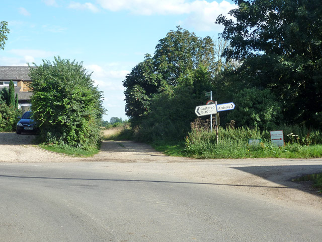
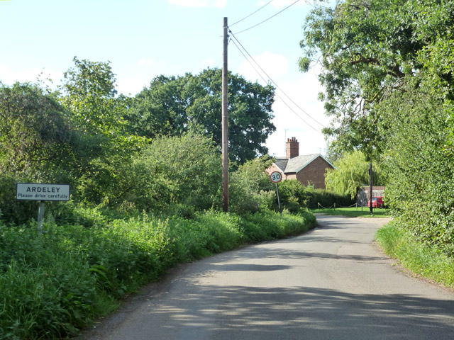
Ardeley
Ardeley is a small village and civil parish in East Hertfordshire, England. The parish includes the hamlet of Cromer, as well as Wood End and Moor Green...
Wakeley, Hertfordshire
Wakeley is a hamlet and former civil parish 14 miles (23 km) from Hertford, now in the parish of Westmill, in the East Hertfordshire district, in the county...
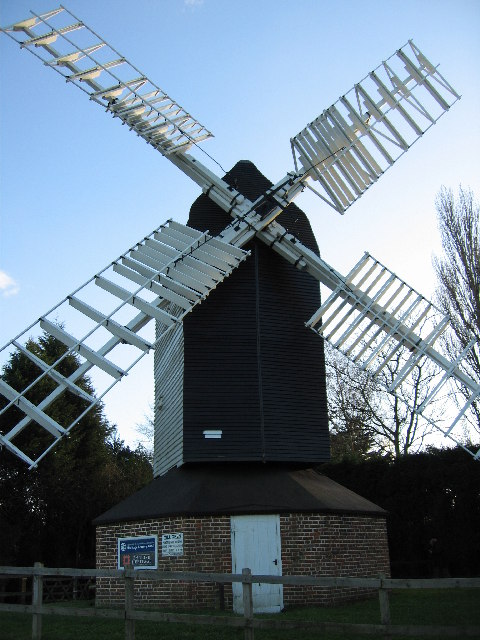
Cromer Windmill, Ardeley
Cromer Windmill, restored in four stages between 1967 and 1998, is a Grade II* listed post mill at Cromer, Ardeley, Hertfordshire, England. == History... ==

Button Snap
Button Snap is a 17th-century cottage in northeast Hertfordshire, that has been associated with the writer Charles Lamb. It is on a rural gravel road west...
Cromer, Hertfordshire
Cromer is a hamlet in the civil parish of Ardeley, Hertfordshire, England. It is a small hamlet; however, it is noteworthy for possessing Hertfordshire...

Cottered
Cottered is a village and civil parish 3 miles (4.8 km) west of Buntingford and 6 miles (9.7 km) east of Baldock in the East Hertfordshire District of...

Church of St Mary the Virgin, Walkern
The parish church of St Mary the Virgin in Walkern, Hertfordshire, dates from before the Norman Conquest and has been altered in the succeeding centuries...
Nearby Amenities
Located within 500m of 51.924535,-0.080005344Have you been to Kimpton's Wood?
Leave your review of Kimpton's Wood below (or comments, questions and feedback).