Great Wood

Wood, Forest in Hertfordshire East Hertfordshire

England

Great Wood

Junction in Wood End It is very hard finding road names in some rural areas, and this is one
Junction in Wood End Credit: David Howard

Great Wood is an expansive and picturesque forest located in Hertfordshire, England. Covering an area of approximately 500 acres, it is a significant natural landmark in the region. The wood is predominantly composed of deciduous trees, including oak, beech, and ash, which create a dense and vibrant canopy during the summer months.

The forest is known for its tranquil and serene atmosphere, making it a popular destination for nature lovers, hikers, and photographers. The well-maintained trails that wind through the wood offer visitors a chance to explore its diverse flora and fauna. Wildlife enthusiasts may encounter various species such as deer, squirrels, foxes, and a multitude of bird species.

Great Wood has a rich history, dating back several centuries. It was once part of the ancient Forest of Hertfordshire, and remnants of its past can still be seen today. The wood has witnessed numerous changes throughout history, including timber extraction during the Industrial Revolution and replanting efforts in the 20th century.

The forest is not only a haven for wildlife but also serves as a valuable recreational space for the local community. It offers picnic areas, camping facilities, and designated spaces for outdoor activities such as cycling and horse riding. The wood is managed by local authorities, ensuring its conservation and preservation for future generations to enjoy.

Overall, Great Wood is a captivating natural landscape that showcases the beauty of Hertfordshire's countryside. Its ancient trees, diverse wildlife, and rich history make it a cherished destination for both locals and visitors seeking a peaceful retreat in the heart of nature.

If you have any feedback on the listing, please let us know in the comments section below.
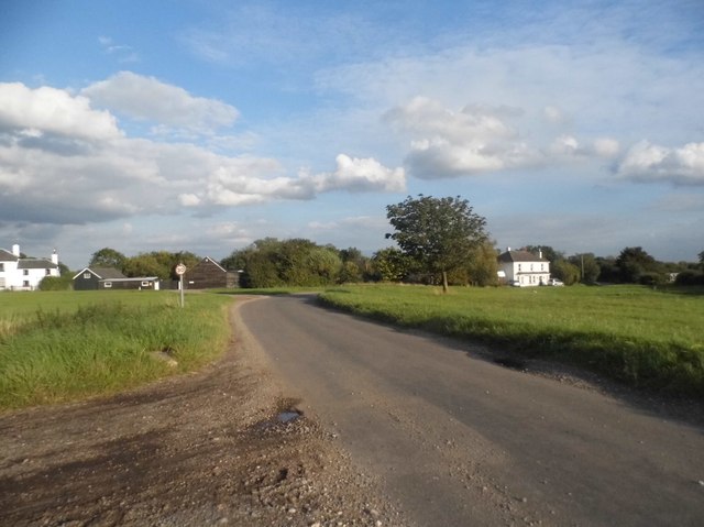
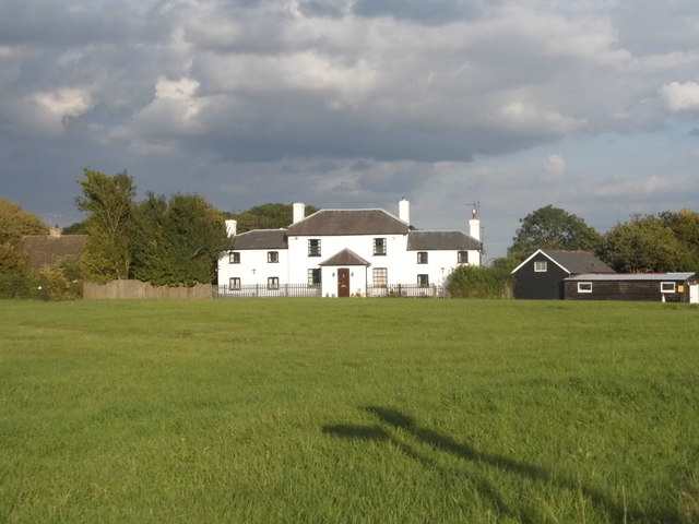
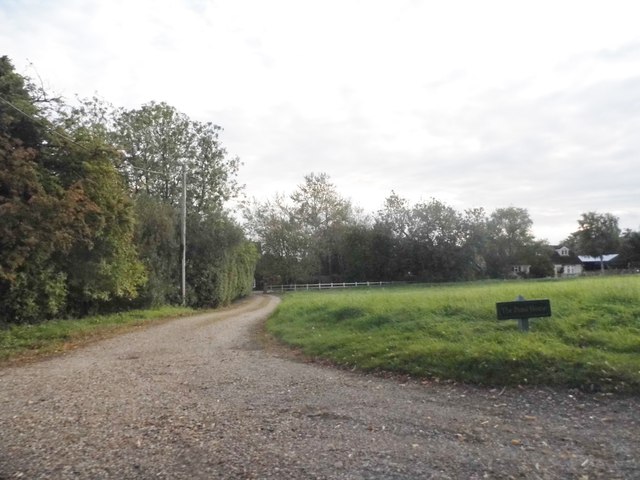
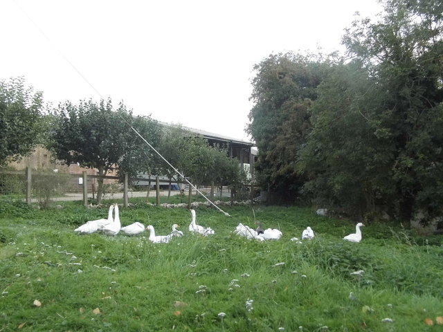
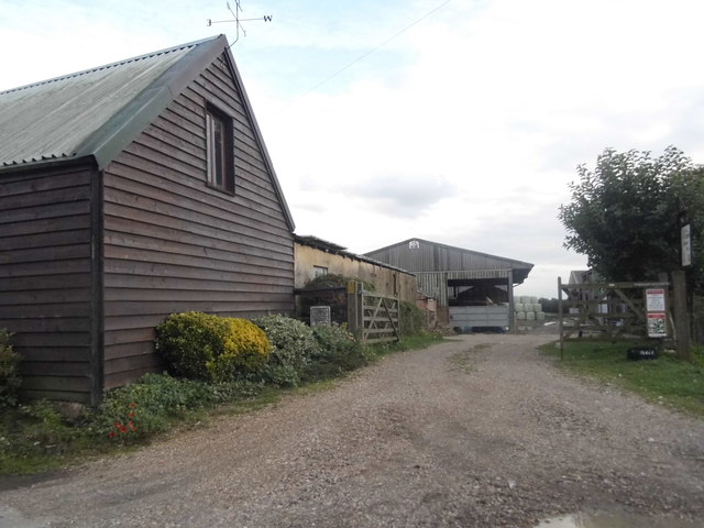
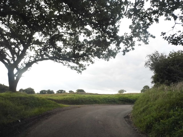
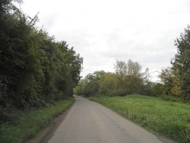
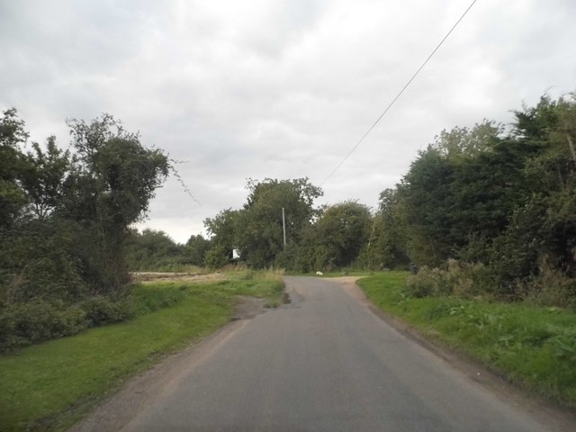
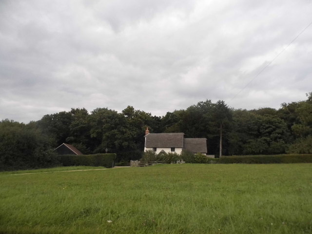
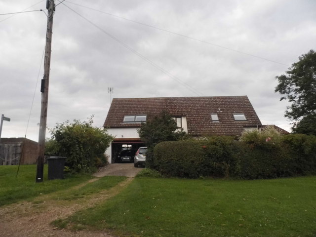
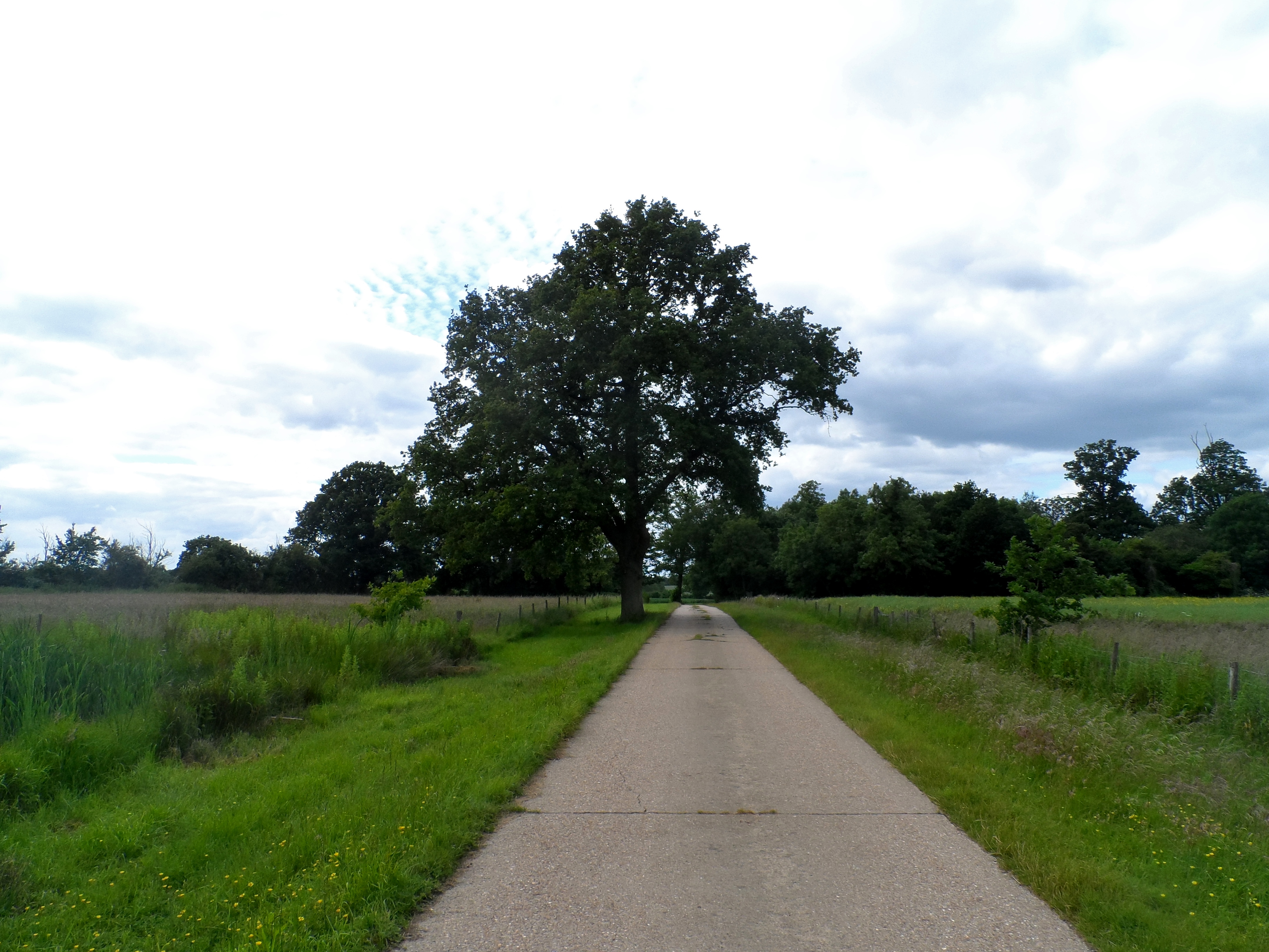
Great Wood Images

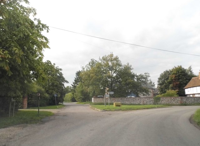
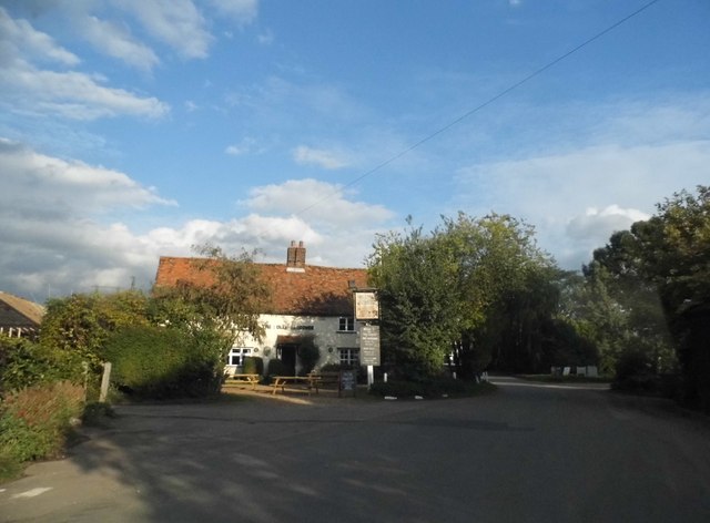
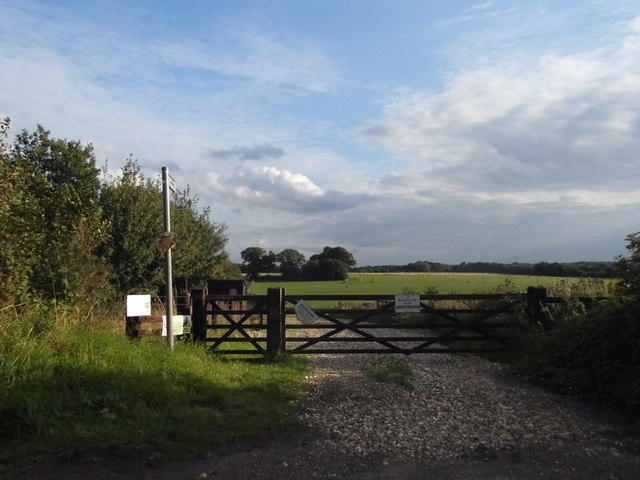
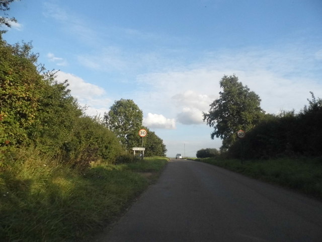
Images are sourced within 2km of 51.924145/-0.070495972 or Grid Reference TL3226. Thanks to Geograph Open Source API. All images are credited.

Junction in Wood End It is very hard finding road names in some rural areas, and this is one
Junction in Wood End
It is very hard finding road names in some rural areas, and this is one
The Jolly Waggoner, Ardeley
Entrance to path, Ardeley Leading to Wood End, where I went next as well.
Entrance to path, Ardeley
Leading to Wood End, where I went next as well.
Entering Moor Green
Entering Moor Green
Moor Green
Moor Green
Acre farmhouse on Moor Green
Green in Wood End
Green in Wood End
Geese at Cherry Farm, Wood End
Cherry Farm, Wood End
Junction at Rush Green
Bend before Wood End The road goes from Haultwick to Cromer but am unable to find a name beyond The Street.
Bend before Wood End
The road goes from Haultwick to Cromer but am unable to find a name beyond The Street.
The road to Cromer North of wood End
The road to Cromer
North of wood End
Entering Moor Green
Entering Moor Green
Cottage on Moor Green
House in Ardeley Ardeley is a small village along this unnamed road, Blind Lane and School Lane.
House in Ardeley
Ardeley is a small village along this unnamed road, Blind Lane and School Lane.
Pair of houses in Ardeley
Moor Green : thatched cottage
Wood End : farmhouse Grade II* listed farmhouse at Chapel Farm incorporating a former Congregational Church. Description at this <span class="nowrap"><a title="https://historicengland.org.uk/listing/the-list/list-entry/1101421" rel="nofollow ugc noopener" href="https://historicengland.org.uk/listing/the-list/list-entry/1101421">Link</a><img style="margin-left:2px;" alt="External link" title="External link - shift click to open in new window" src="https://s1.geograph.org.uk/img/external.png" width="10" height="10"/></span>.
Wood End : farmhouse
Grade II* listed farmhouse at Chapel Farm incorporating a former Congregational Church. Description at this LinkExternal link.
Show me another place!

Great Wood is located at Grid Ref: TL3226 (Lat: 51.924145, Lng: -0.070495972)

Administrative County: Hertfordshire

District: East Hertfordshire

Police Authority: Hertfordshire

What 3 Words

///plots.ruby.laminate. Near Walkern, Hertfordshire

Related Wikis

Moor Hall Meadows

Moor Hall Meadows is a 24.4-hectare (60-acre) biological Site of Special Scientific Interest in Moor Green in Hertfordshire. The local planning authority...

Wakeley, Hertfordshire

Wakeley is a hamlet and former civil parish 14 miles (23 km) from Hertford, now in the parish of Westmill, in the East Hertfordshire district, in the county...

Ardeley

Ardeley is a small village and civil parish in East Hertfordshire, England. The parish includes the hamlet of Cromer, as well as Wood End and Moor Green...

Button Snap

Button Snap is a 17th-century cottage in northeast Hertfordshire, that has been associated with the writer Charles Lamb. It is on a rural gravel road west...

Nearby Amenities

Located within 500m of 51.924145,-0.070495972
Ford: yes
Lat/Long: 51.9256663/-0.0681086
Noexit: yes
Lat/Long: 51.9231451/-0.0701021
Post Box
Collection Times: Mo-Fr 16:00; Sa 09:15
Post Box Type: lamp
Ref: SG2 235
Royal Cypher: ER
Lat/Long: 51.9216041/-0.0744501
Power: pole
Lat/Long: 51.9251294/-0.0679805
Power: pole
Lat/Long: 51.9239765/-0.0739109
Power: pole
Lat/Long: 51.9267967/-0.072661
Power: pole
Lat/Long: 51.9271987/-0.0738143
Power: pole
Lat/Long: 51.9236738/-0.0642871
Power: pole
Lat/Long: 51.9256042/-0.0692921
Power: pole
Lat/Long: 51.9236626/-0.0747381
Power: pole
Lat/Long: 51.9257414/-0.0721353
Power: pole
Lat/Long: 51.9246915/-0.0668658
Power: pole
Lat/Long: 51.9251261/-0.0727254
Power: pole
Lat/Long: 51.9242594/-0.0657409
Power: pole
Lat/Long: 51.9263634/-0.0714459
Power: pole
Lat/Long: 51.9259929/-0.0703999
Power: pole
Lat/Long: 51.9245542/-0.0733152
Advertising: board
Direction: -75
Lat/Long: 51.9226359/-0.0754076
The data included in this document is from www.openstreetmap.org. The data is made available under ODbL.

Have you been to Great Wood?

Leave your review of Great Wood below (or comments, questions and feedback).