Abbey Fields
Downs, Moorland in Cambridgeshire
England
Abbey Fields
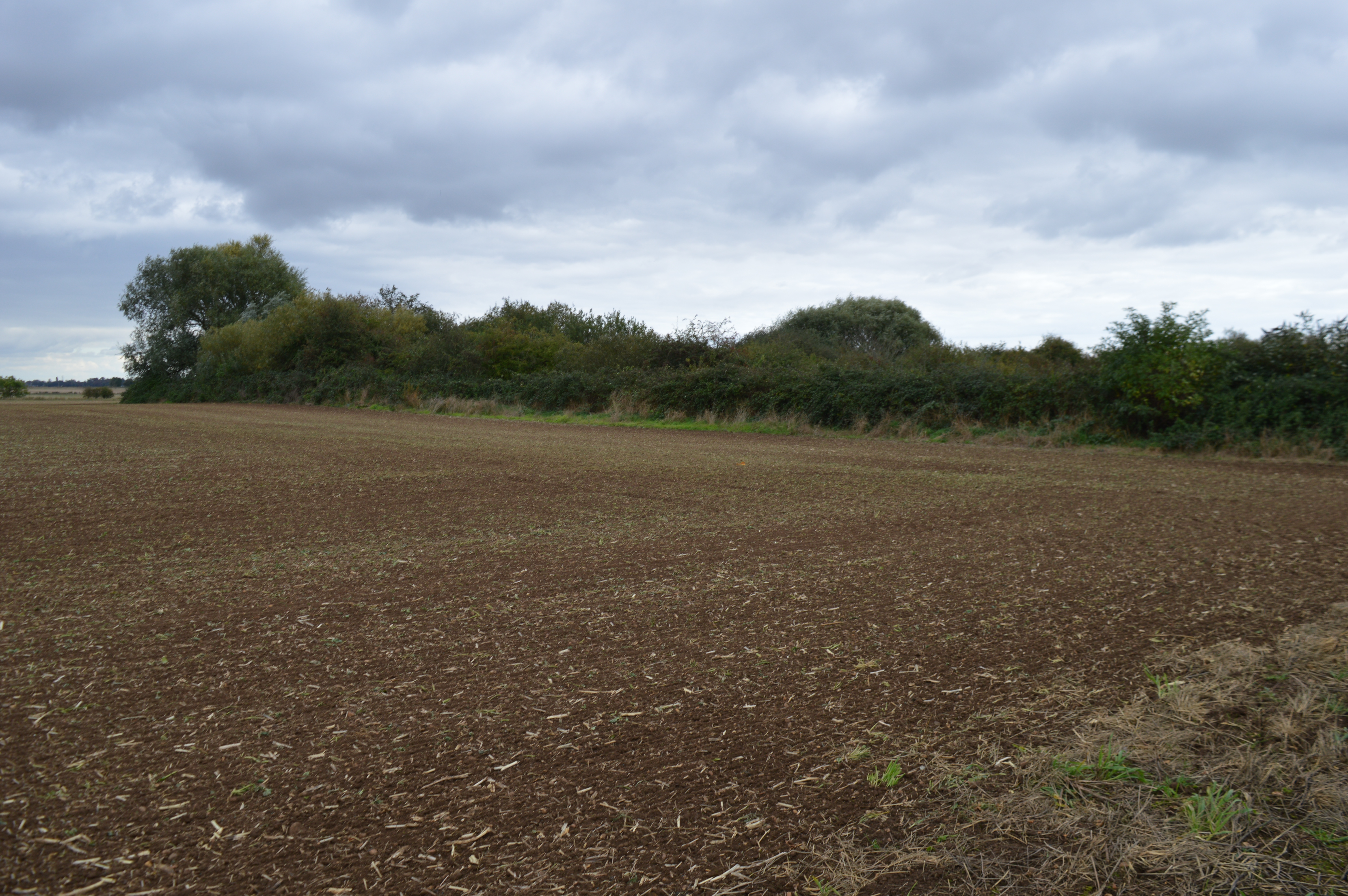
Abbey Fields is a picturesque area located in Cambridgeshire, England. Spread across the Downs and Moorland, it offers visitors a diverse and captivating landscape to explore. Covering an expansive area of approximately 500 acres, Abbey Fields is known for its stunning natural beauty and historical significance.
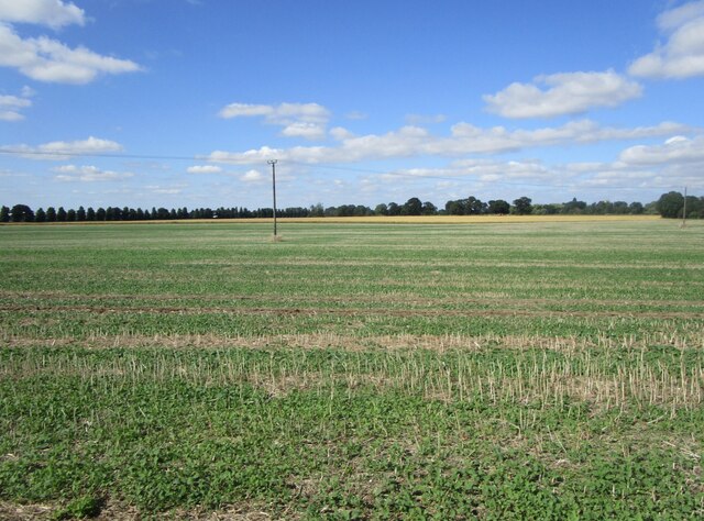
The Downs section of Abbey Fields is characterized by rolling hills, lush meadows, and vibrant wildflowers, making it a popular spot for nature enthusiasts and walkers. The area is home to a wide variety of wildlife, including deer and various bird species, offering visitors the chance to witness the wonders of nature up close.
On the other hand, the Moorland area of Abbey Fields showcases a unique ecosystem, characterized by heather-covered hills and rocky outcrops. This rugged landscape provides a stark contrast to the Downs, and offers breathtaking views over the surrounding countryside.
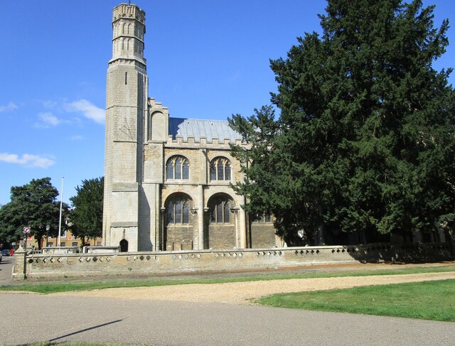
Abbey Fields also holds historical significance, as the remnants of a medieval abbey can be found within its boundaries. These ruins provide a glimpse into the area's rich history and offer visitors a chance to explore the past.
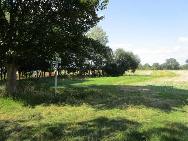
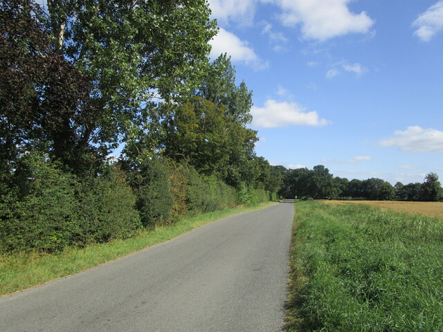
Visitors to Abbey Fields can enjoy a range of activities, including walking, hiking, picnicking, and wildlife spotting. The area is also popular with photographers, as it provides numerous opportunities to capture the beauty of the natural surroundings.
Overall, Abbey Fields, Cambridgeshire offers a perfect blend of natural beauty, wildlife, and historical significance, making it a must-visit destination for anyone seeking tranquility and a connection with nature.
If you have any feedback on the listing, please let us know in the comments section below.
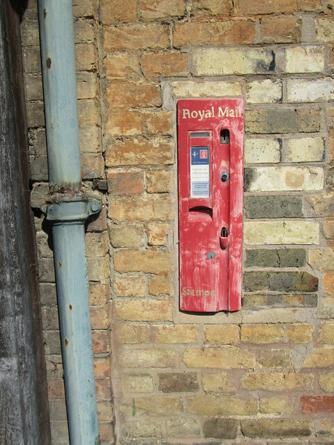
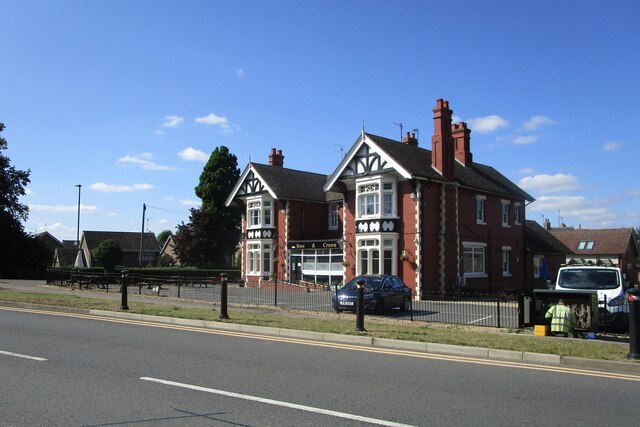
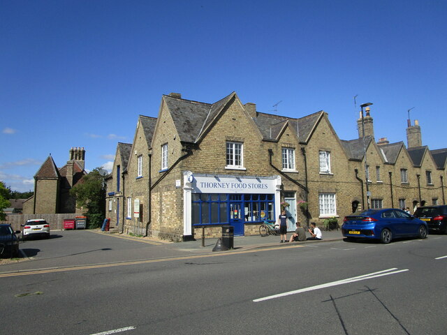
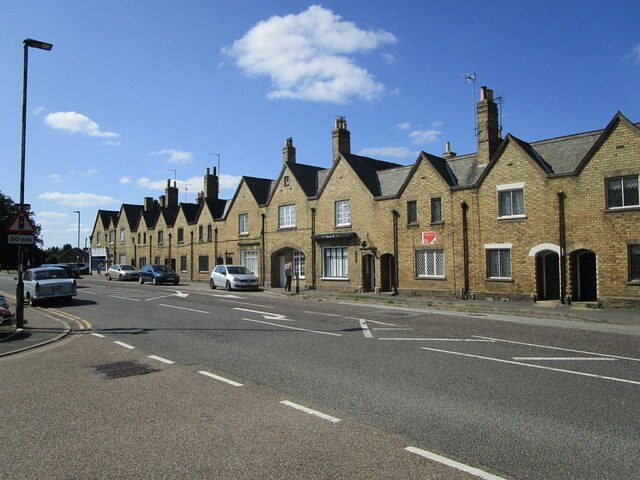
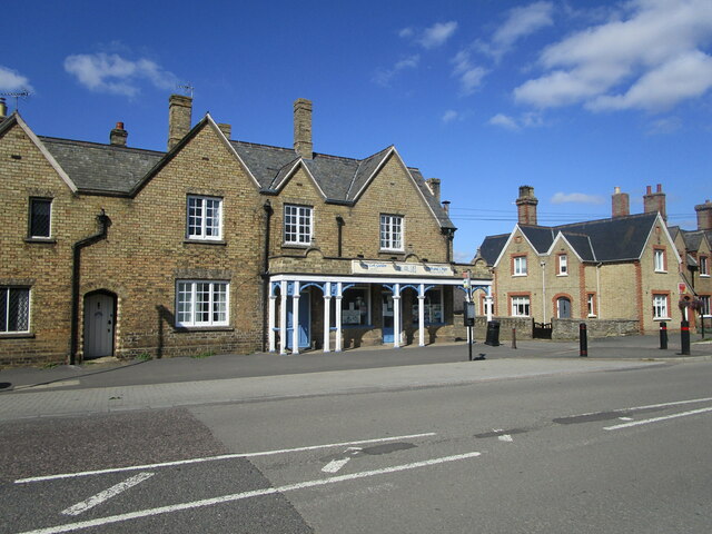
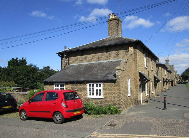
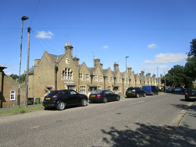
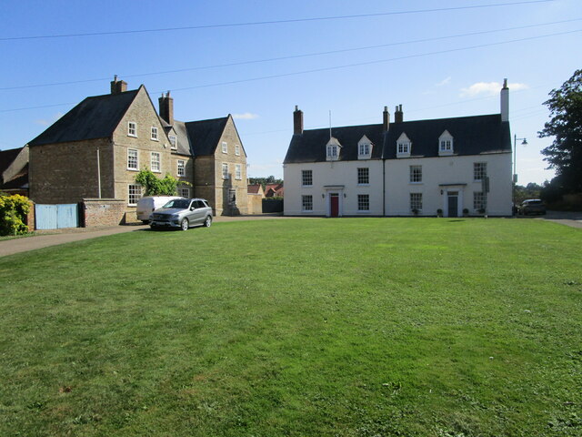
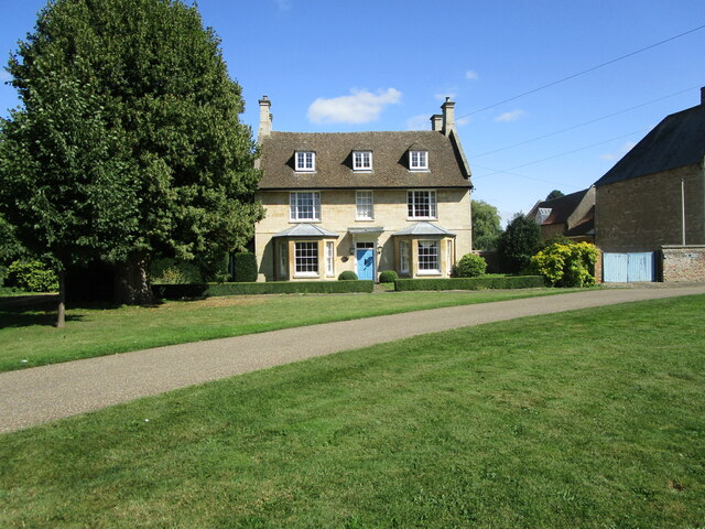
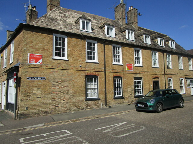
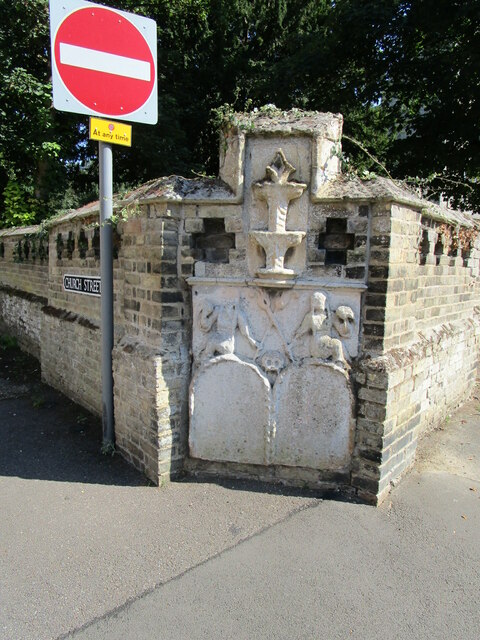
Abbey Fields Images
Images are sourced within 2km of 52.619033/-0.11023642 or Grid Reference TF2804. Thanks to Geograph Open Source API. All images are credited.
Abbey Fields is located at Grid Ref: TF2804 (Lat: 52.619033, Lng: -0.11023642)
Division: Isle of Ely
Unitary Authority: Peterborough
Police Authority: Cambridgeshire
What 3 Words
///invents.midfield.buddy. Near Thorney, Cambridgeshire
Nearby Locations
Related Wikis

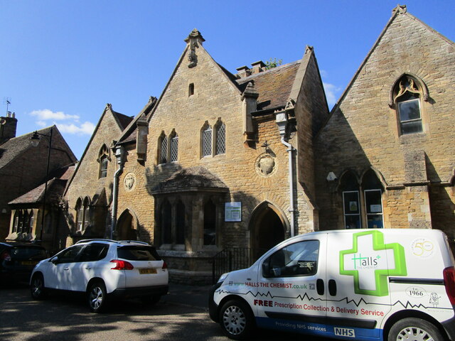
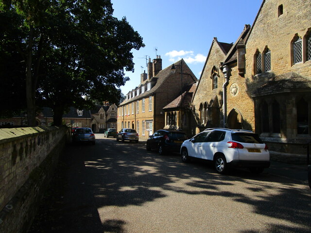
Thorney Abbey
Thorney Abbey, now the Church of St Mary and St Botolph, was a medieval monastic house established on the island of Thorney in The Fens of Cambridgeshire...

Thorney, Cambridgeshire
Thorney is a village in the Peterborough unitary authority in the ceremonial county of Cambridgeshire, England. Located around eight miles (13 km) east...

Thorney railway station
Thorney railway station was a station in Thorney, Cambridgeshire on the Midland and Great Northern Joint Railway line between Peterborough and Wisbech...
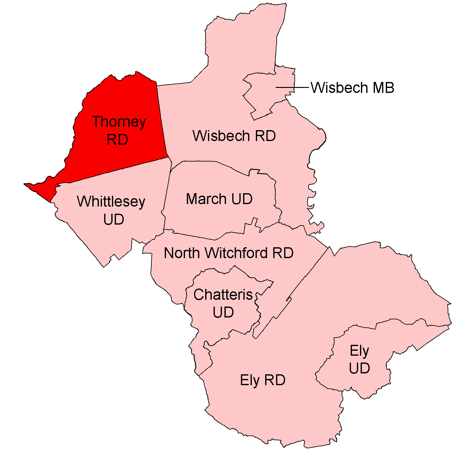
Thorney Rural District
Thorney was a rural district in England from 1894 to 1974, situated to the east of Peterborough. It was created under the Local Government Act 1894, covering...

Wryde railway station
Wryde railway station was a station serving Wryde, Cambridgeshire on the Midland and Great Northern Joint Railway between Wisbech and Peterborough. Originally...
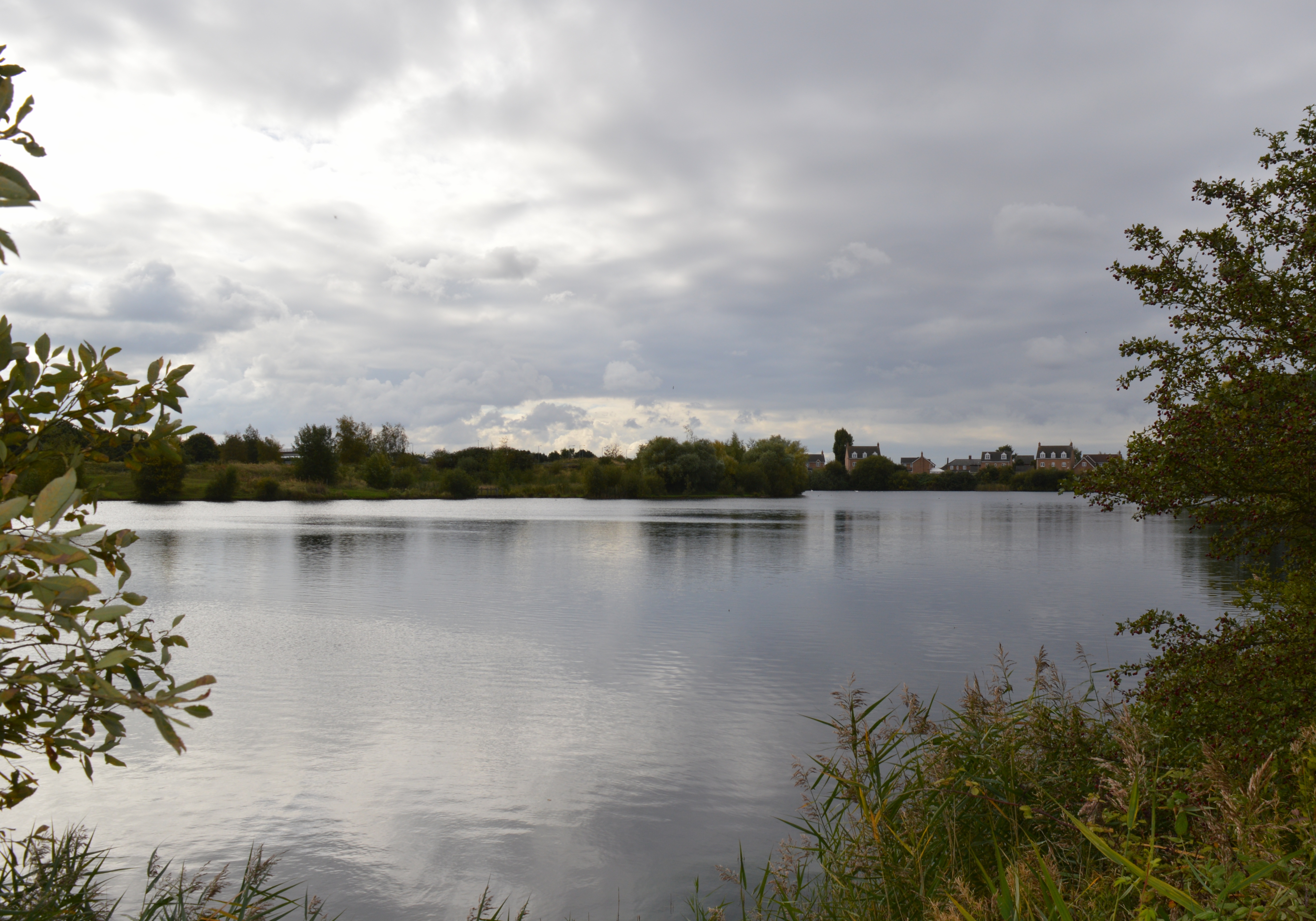
Eye Green Local Nature Reserve
Eye Green Local Nature Reserve is a 12 hectare Local Nature Reserve in Eye Green in Cambridgeshire. It was managed by the Wildlife Trust for Bedfordshire...
Eye Gravel Pit
Eye Gravel Pit is a 0.4-hectare (0.99-acre) geological Site of Special Scientific Interest in Eye Green in Cambridgeshire. It is a Geological Conservation...
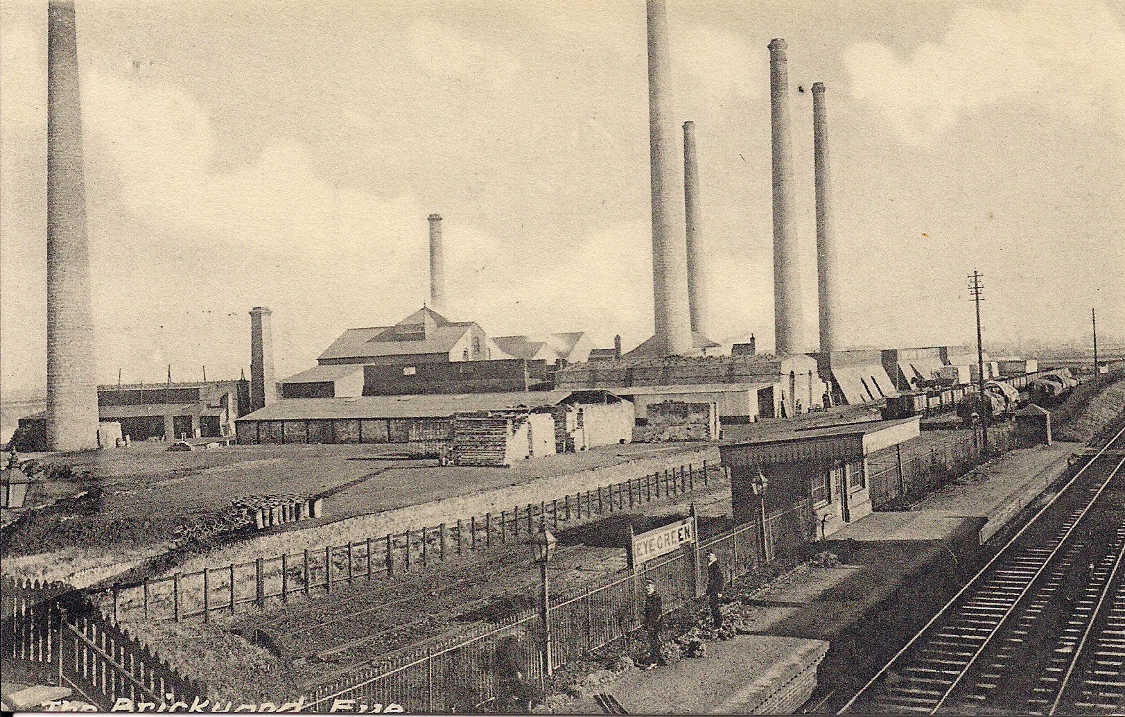
Eye Green railway station
Eye Green railway station was a station in Eye, Cambridgeshire, on the Midland and Great Northern Joint Railway line between Peterborough and Wisbech....
Related Videos
Thorney.Cambridgeshire
Thorney is a village about eight miles (13 km) east of Peterborough city centre. #Thorney#village#England.
An Abbey, some classic cars and wonderful scenery - A look around Thorney
We have a visit too the village of Thorney near Peterborough. We look around Thorney abbey, check out some amazing classic ...

Christmas Craft Fayre, Bedford Hall Thorney
Crafts and cats at Thorney's Bedford Hall.

The No.36 Bus
I am so angry with Stagecoach for axing the 36 bus service that comes through Thorney and stops off in Eye! So many people rely ...
Nearby Amenities
Located within 500m of 52.619033,-0.11023642Have you been to Abbey Fields?
Leave your review of Abbey Fields below (or comments, questions and feedback).