Northaw Park
Downs, Moorland in Hertfordshire Welwyn Hatfield
England
Northaw Park
Northaw Park is a picturesque nature reserve located in Hertfordshire, England. Covering an area of approximately 74 hectares, it is renowned for its diverse landscape, encompassing downs and moorland. The park is situated within the Northaw Great Wood, which is part of the Green Belt surrounding London.
The park's downs are characterized by gently rolling hills covered in short, fine grasses, providing a perfect habitat for a variety of wildlife. Visitors can enjoy panoramic views of the surrounding countryside from the higher points of the downs. The moorland, on the other hand, consists of wet and marshy areas with heather and gorse vegetation. This unique combination of habitats attracts a wide range of flora and fauna, including rare species such as the grayling butterfly and the Dartford warbler.
Northaw Park offers numerous walking trails and footpaths, allowing visitors to explore its natural beauty. The park is also home to a diverse range of bird species, making it a popular destination for birdwatchers. In addition, there are picnic areas and benches scattered throughout the park, providing visitors with a chance to relax and enjoy the serene surroundings.
Managed by the local council, Northaw Park is open to the public year-round and admission is free. The park has basic facilities, including parking areas and public toilets. It also hosts educational events and guided walks, providing visitors with an opportunity to learn more about the park's unique ecosystem. Overall, Northaw Park offers a tranquil escape from the hustle and bustle of city life, allowing visitors to immerse themselves in the beauty of nature.
If you have any feedback on the listing, please let us know in the comments section below.
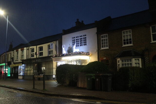
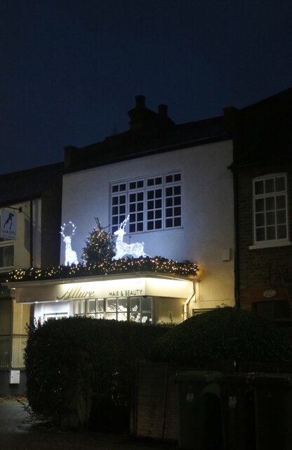
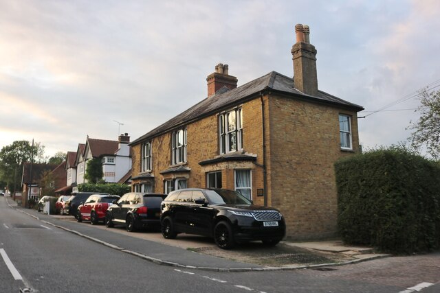
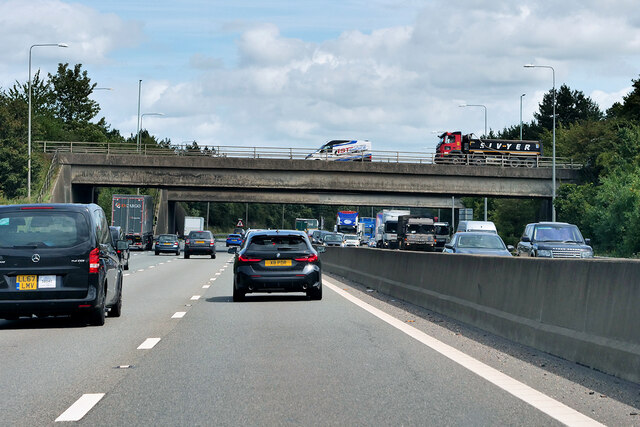
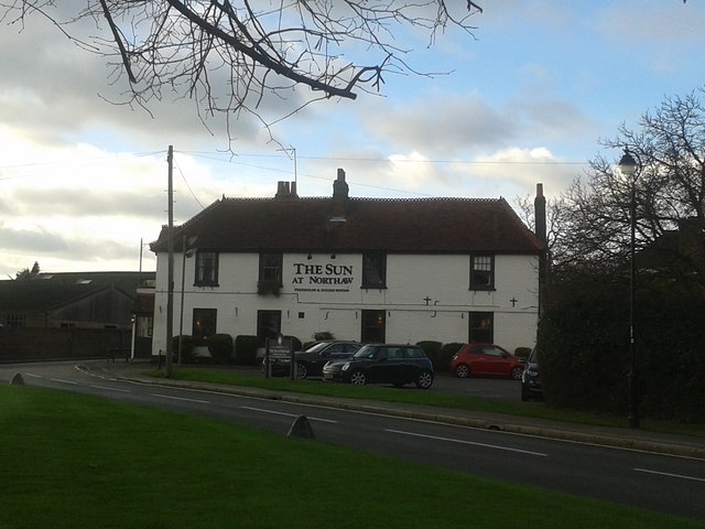
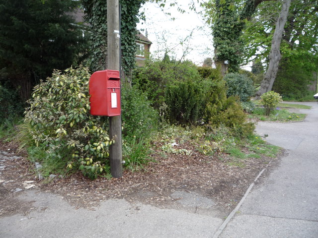
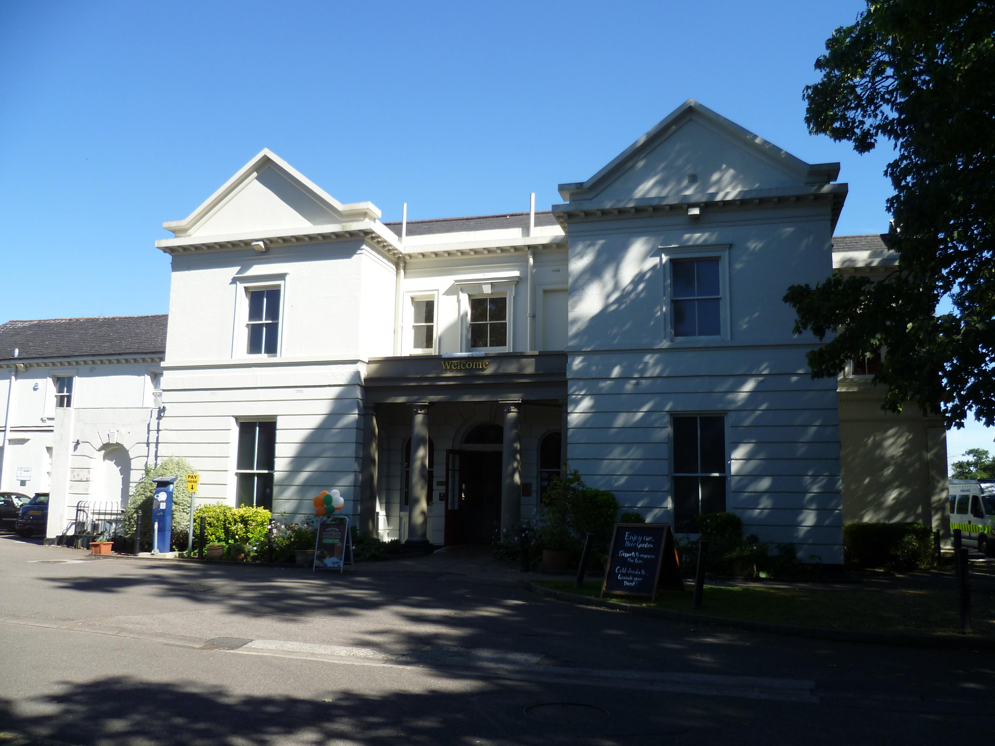
Northaw Park Images
Images are sourced within 2km of 51.696778/-0.14987188 or Grid Reference TL2701. Thanks to Geograph Open Source API. All images are credited.


Northaw Park is located at Grid Ref: TL2701 (Lat: 51.696778, Lng: -0.14987188)
Administrative County: Hertfordshire
District: Welwyn Hatfield
Police Authority: Hertfordshire
What 3 Words
///sheep.behind.softly. Near Potters Bar, Hertfordshire
Nearby Locations
Related Wikis

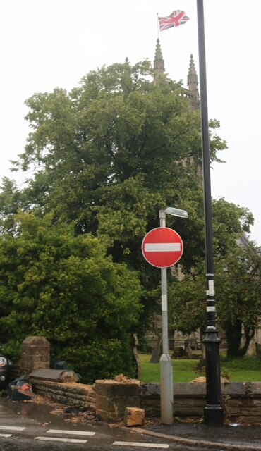
Northaw
Northaw is a village in the Welwyn Hatfield district of Hertfordshire, England. It is part of the civil parish of Northaw and Cuffley (where at the 2011...

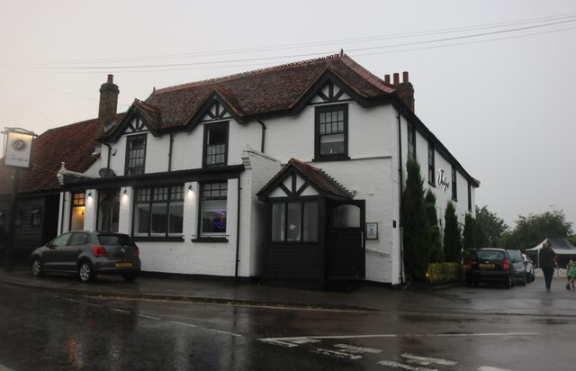
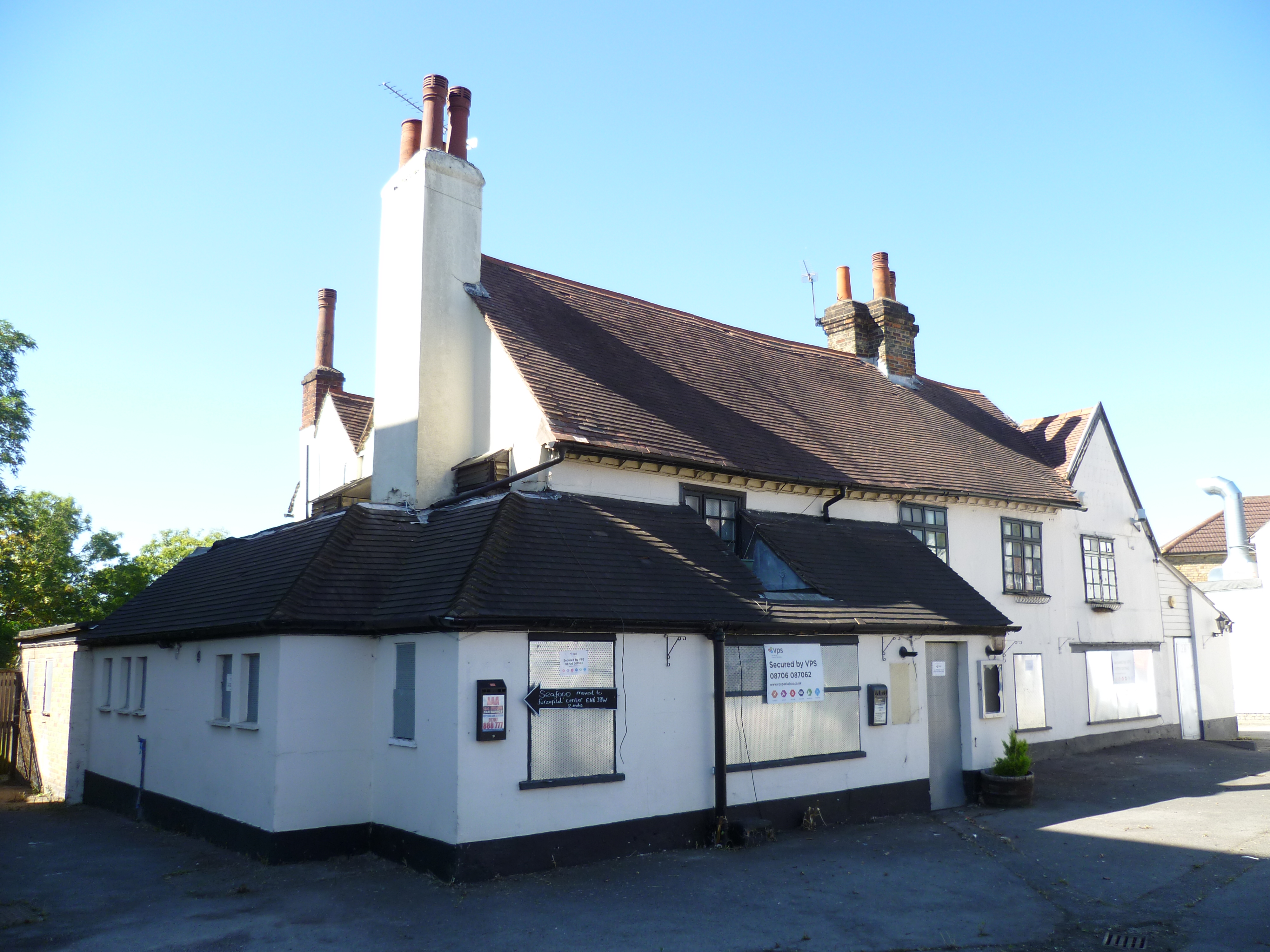
The Chequers, Potters Bar
The Chequers was a public house which occupied a Grade II listed building in Potters Bar, England. Originally opening in the 1700s, the pub moved site...

The Dower House, Northaw
The Dower House is a Grade II* listed house in Cooper's Lane between Potters Bar and Northaw in Hertfordshire, England. It was built in 1749 and was formerly...
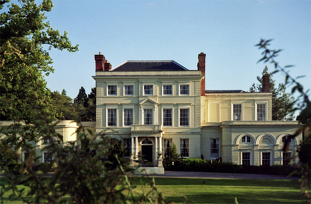
Northaw Place
Northaw Place is a Grade II* listed former mansion house, later a school and children's home, in Northaw and Cuffley, Hertfordshire, England. Northaw Place...
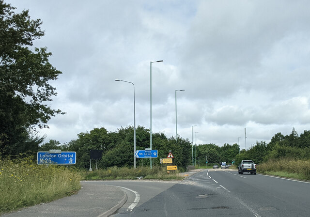
St John's Senior School
St. John's Prep and Senior School is an English all-through school, co-educational day school near the M25 motorway in The Ridgeway, Botany Bay, Enfield...
Oakmere House
Oakmere House is a public house and restaurant in Potters Bar, England, and a grade II listed building with Historic England. The pub is under the management...
The Green Man, Potters Bar
The Green Man is a disused public house in High Street, Potters Bar, England, and a Grade II listed building with Historic England. It was built in the...
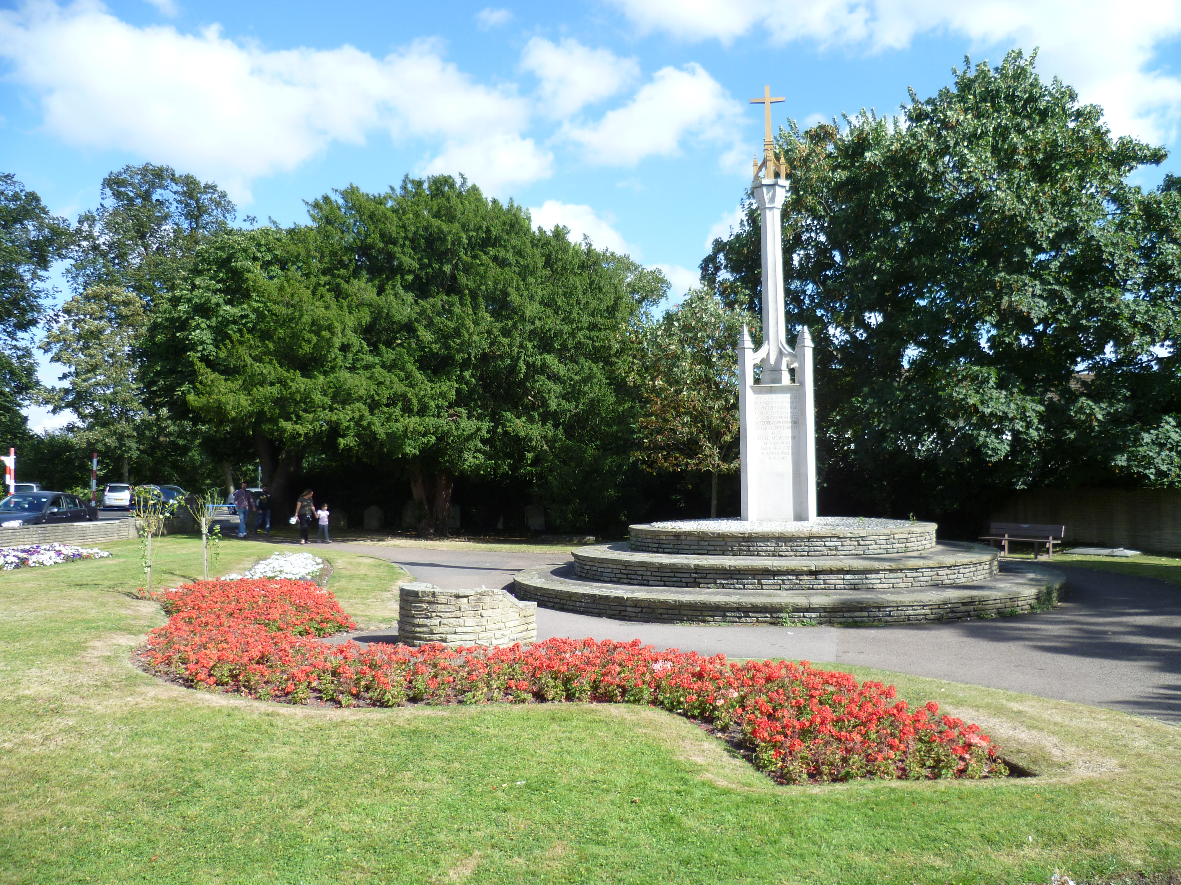
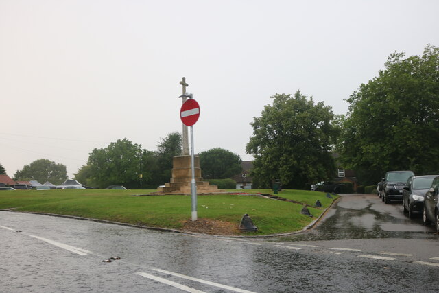
Potters Bar War Memorial
Potters Bar war memorial is located in St John's Churchyard in High Street, Potters Bar, England. The memorial was designed by the Arts and Crafts architect...
Nearby Amenities
Located within 500m of 51.696778,-0.14987188Have you been to Northaw Park?
Leave your review of Northaw Park below (or comments, questions and feedback).