Thorney

Settlement in Cambridgeshire

England

Thorney

Stubble field near Toneham Farm
Stubble field near Toneham Farm Credit: Jonathan Thacker

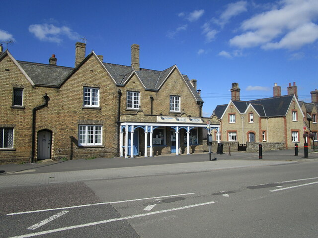
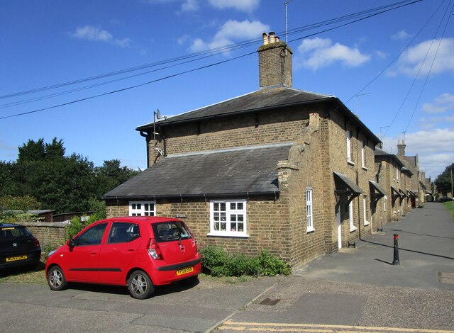
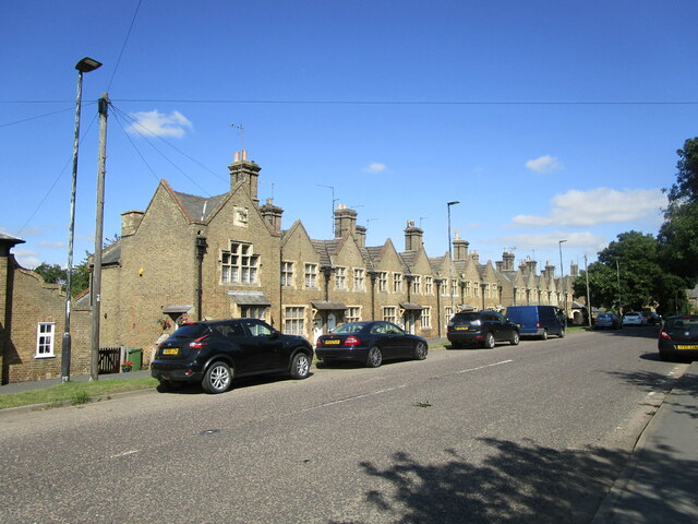
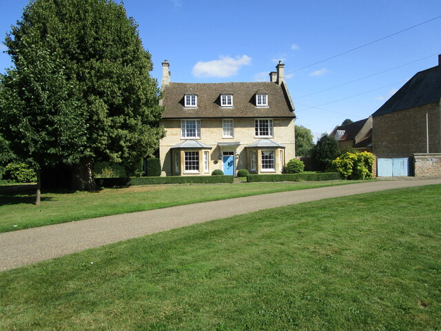
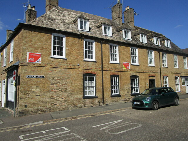
Thorney is a small village located in the county of Cambridgeshire, England. It is situated approximately 8 miles east of Peterborough and 4 miles east of the market town of Whittlesey. The village is situated on the east bank of the River Nene and has a population of around 2,000 residents.

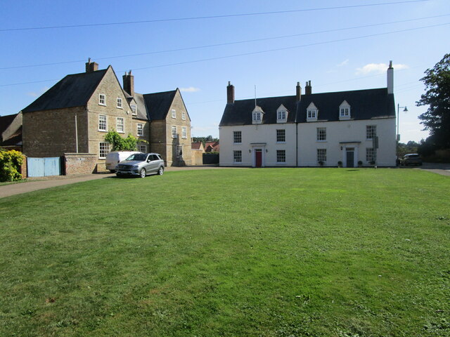
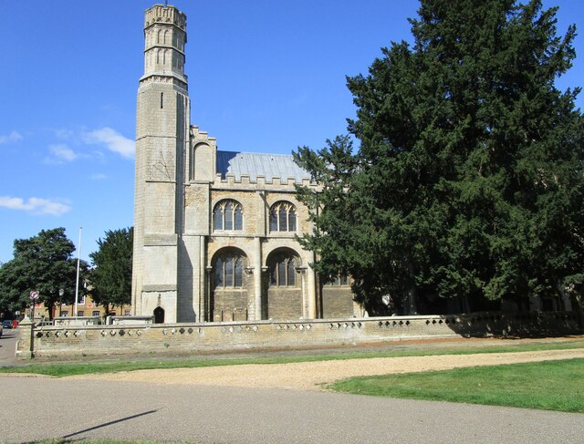
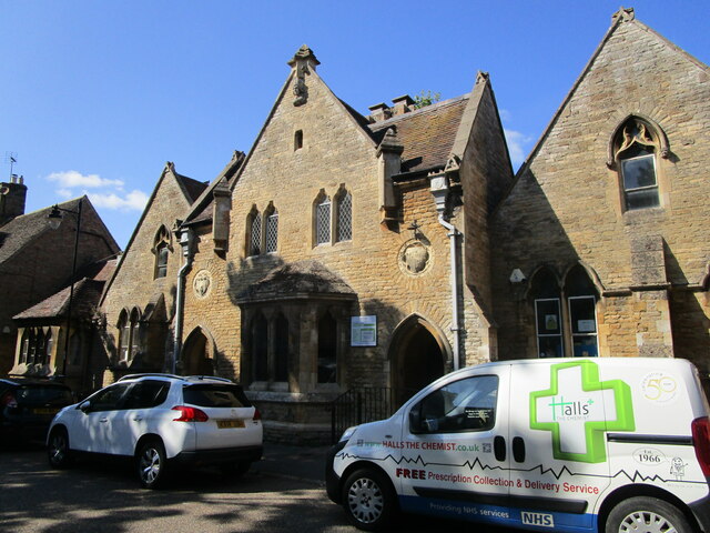
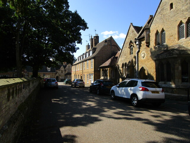
Thorney has a rich history dating back to Roman times when it was an important settlement along the Fen Causeway, a Roman road connecting Colchester to Lincoln. The village was also known for its medieval abbey, Thorney Abbey, which was founded in the 7th century and played a significant role in the local community until its dissolution in the 16th century. Today, only remnants of the abbey remain, including the gatehouse, which is a Grade I listed building.

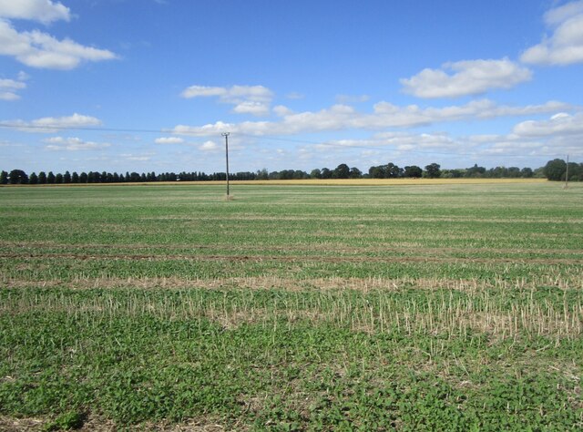
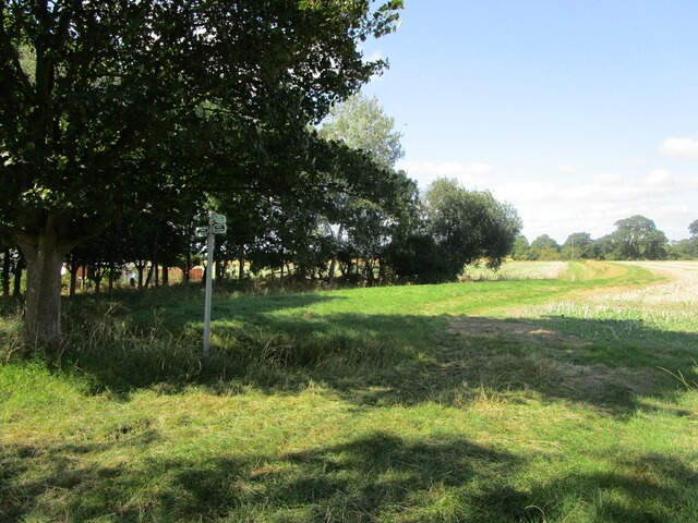
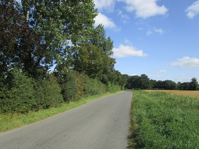
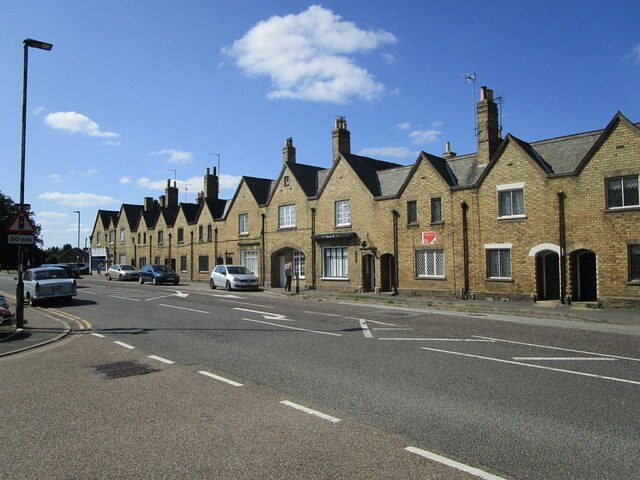
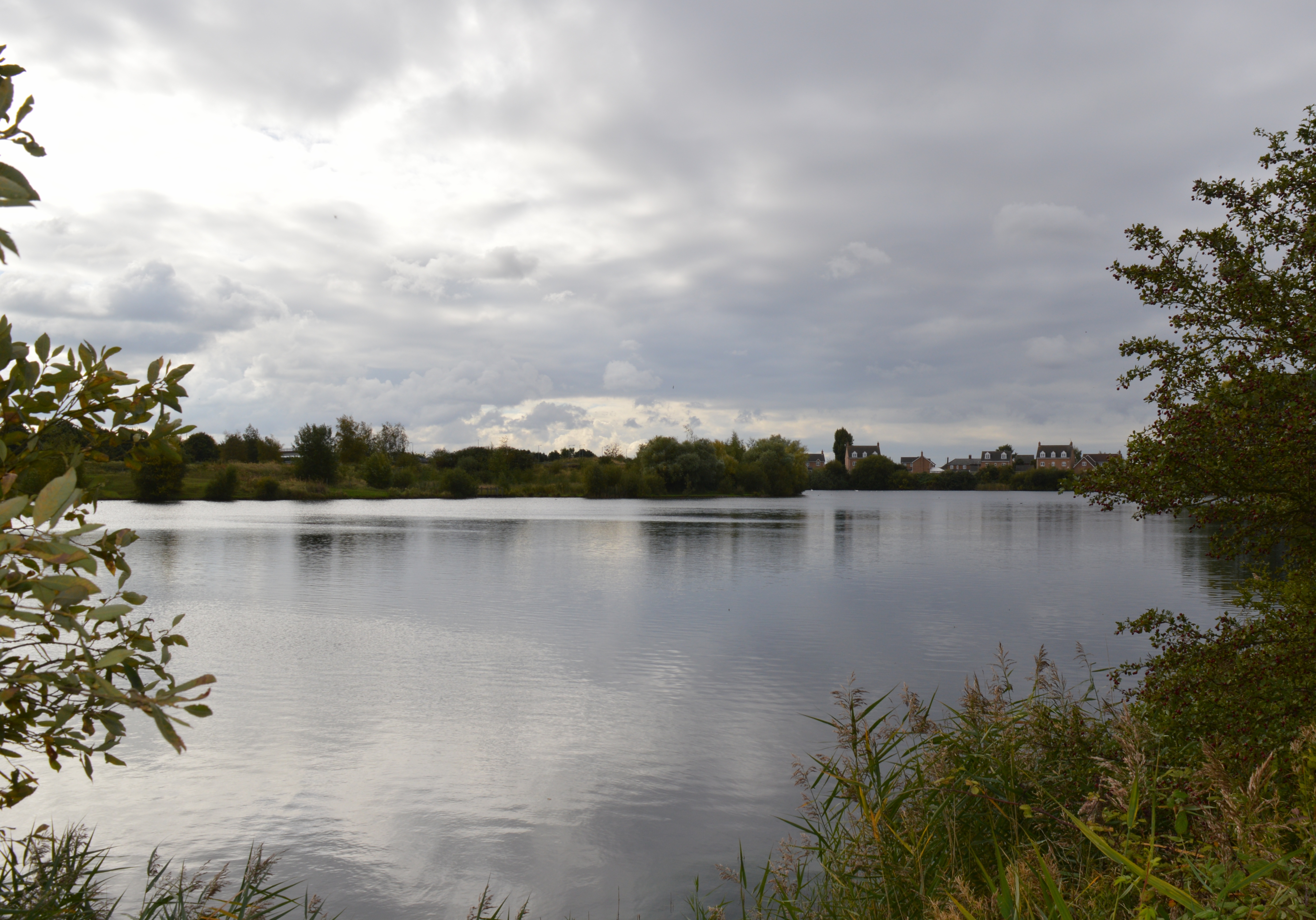
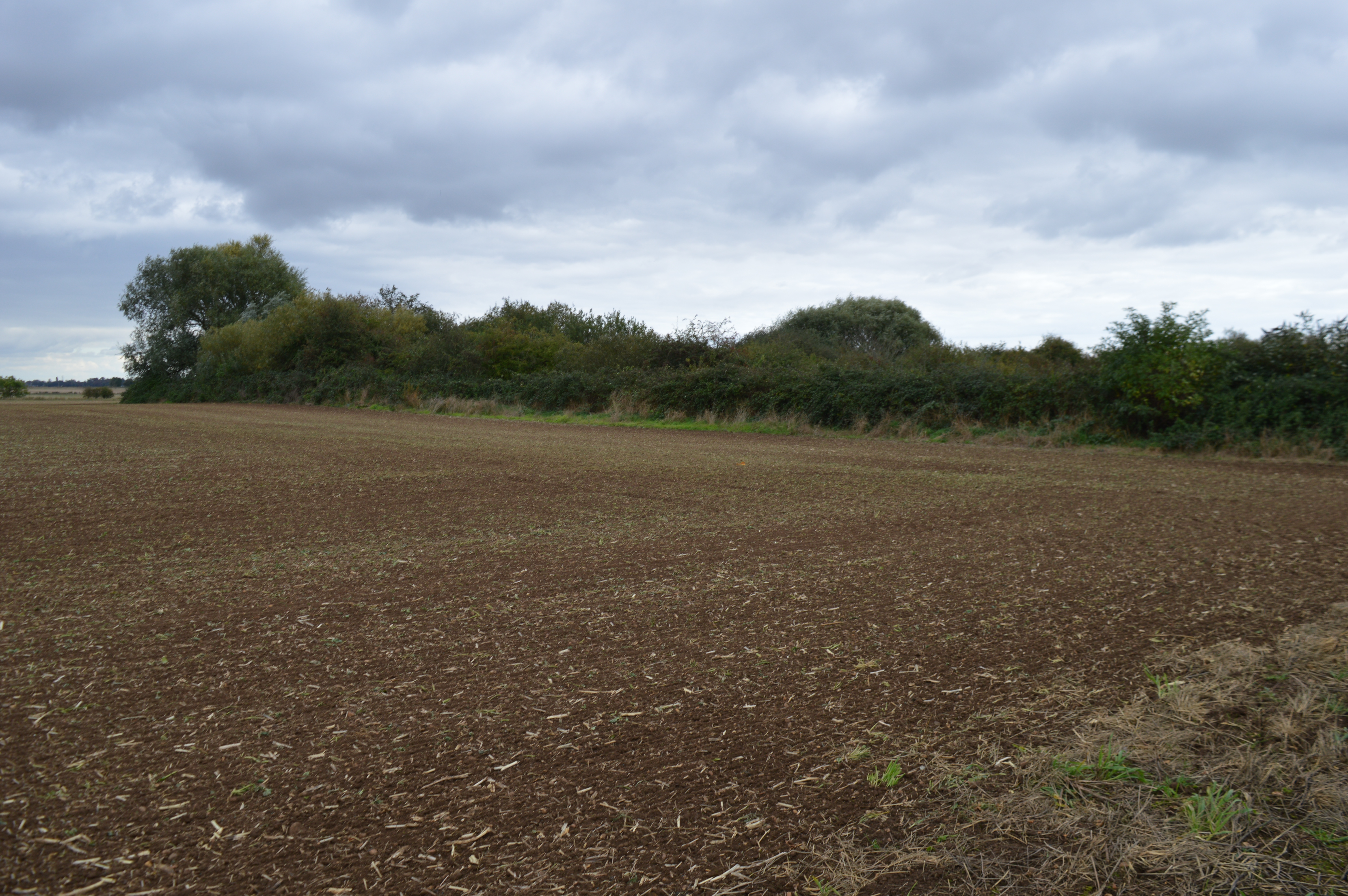
The village is known for its picturesque countryside and natural beauty, with the surrounding fenland providing ample opportunities for outdoor activities such as walking, cycling, and birdwatching. The Thorney Wildlife Park is a popular attraction, showcasing a variety of wildlife species native to the area.

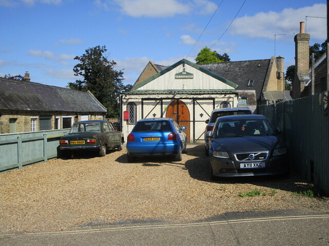
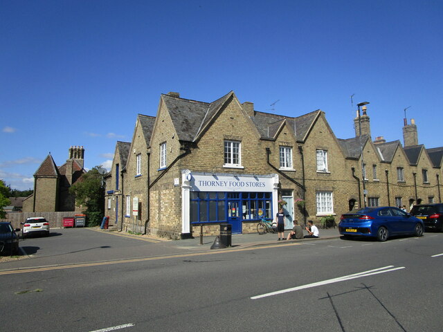
Thorney is a close-knit community with a range of amenities including a primary school, post office, village hall, and several local shops and pubs. It also has good transport links, with regular bus services connecting it to neighboring towns and cities.

Overall, Thorney is a charming village with a rich history, natural beauty, and a strong sense of community, making it an attractive place to live or visit in Cambridgeshire.

If you have any feedback on the listing, please let us know in the comments section below.
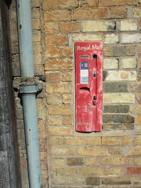
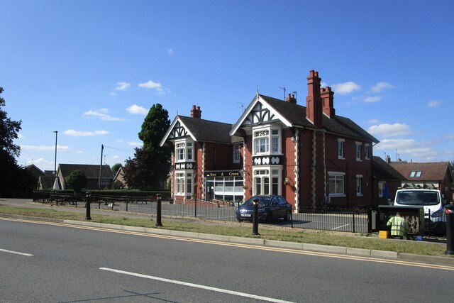
Thorney Images

Images are sourced within 2km of 52.621355/-0.10814195 or Grid Reference TF2804. Thanks to Geograph Open Source API. All images are credited.

Stubble field near Toneham Farm
The beginning of a footpath to Thorney
The Tabernacle, Thorney
Black Drove near Thorney
Old stamp machine, Thorney Four First Class stamps for a Pound. Wow!
Old stamp machine, Thorney
Four First Class stamps for a Pound. Wow!
The Rose and Crown, Thorney
Thorney Food Stores Part of a block dated 1856 <span class="nowrap"><a title="https://historicengland.org.uk/listing/the-list/list-entry/1127491" rel="nofollow ugc noopener" href="https://historicengland.org.uk/listing/the-list/list-entry/1127491">Link</a><img style="margin-left:2px;" alt="External link" title="External link - shift click to open in new window" src="https://s1.geograph.org.uk/img/external.png" width="10" height="10"/></span>
Thorney Food Stores
Part of a block dated 1856 LinkExternal link
Houses, Wisbech Road, Thorney The block is dated 1856 <span class="nowrap"><a title="https://historicengland.org.uk/listing/the-list/list-entry/1127491" rel="nofollow ugc noopener" href="https://historicengland.org.uk/listing/the-list/list-entry/1127491">Link</a><img style="margin-left:2px;" alt="External link" title="External link - shift click to open in new window" src="https://s1.geograph.org.uk/img/external.png" width="10" height="10"/></span>
Houses, Wisbech Road, Thorney
The block is dated 1856 LinkExternal link
Hong Lok Garden, Thorney Part of a block dated 1856 <span class="nowrap"><a title="https://historicengland.org.uk/listing/the-list/list-entry/1127491" rel="nofollow ugc noopener" href="https://historicengland.org.uk/listing/the-list/list-entry/1127491">Link</a><img style="margin-left:2px;" alt="External link" title="External link - shift click to open in new window" src="https://s1.geograph.org.uk/img/external.png" width="10" height="10"/></span>
Hong Lok Garden, Thorney
Part of a block dated 1856 LinkExternal link
Cottages, Wisbech Road, Thorney Date from about 1838 <span class="nowrap"><a title="https://historicengland.org.uk/listing/the-list/list-entry/1331232" rel="nofollow ugc noopener" href="https://historicengland.org.uk/listing/the-list/list-entry/1331232">Link</a><img style="margin-left:2px;" alt="External link" title="External link - shift click to open in new window" src="https://s1.geograph.org.uk/img/external.png" width="10" height="10"/></span>
Cottages, Wisbech Road, Thorney
Date from about 1838 LinkExternal link
Housing, Wisbech Road, Thorney Date from about 1849 <span class="nowrap"><a title="https://historicengland.org.uk/listing/the-list/list-entry/1225144" rel="nofollow ugc noopener" href="https://historicengland.org.uk/listing/the-list/list-entry/1225144">Link</a><img style="margin-left:2px;" alt="External link" title="External link - shift click to open in new window" src="https://s1.geograph.org.uk/img/external.png" width="10" height="10"/></span>
Housing, Wisbech Road, Thorney
Date from about 1849 LinkExternal link
The Green, Thorney On the left, No. 2 <span class="nowrap"><a title="https://historicengland.org.uk/listing/the-list/list-entry/1224675" rel="nofollow ugc noopener" href="https://historicengland.org.uk/listing/the-list/list-entry/1224675">Link</a><img style="margin-left:2px;" alt="External link" title="External link - shift click to open in new window" src="https://s1.geograph.org.uk/img/external.png" width="10" height="10"/></span> Directly ahead Nos. 3 and 4 <span class="nowrap"><a title="https://historicengland.org.uk/listing/the-list/list-entry/1331268" rel="nofollow ugc noopener" href="https://historicengland.org.uk/listing/the-list/list-entry/1331268">Link</a><img style="margin-left:2px;" alt="External link" title="External link - shift click to open in new window" src="https://s1.geograph.org.uk/img/external.png" width="10" height="10"/></span>
This area was once Thorney's Market Place.
The Green, Thorney
On the left, No. 2 LinkExternal link Directly ahead Nos. 3 and 4 LinkExternal link This area was once Thorney's Market Place.
Cheriton House, Thorney Former Vicarage dating from 1728 <span class="nowrap"><a title="https://historicengland.org.uk/listing/the-list/list-entry/1127487" rel="nofollow ugc noopener" href="https://historicengland.org.uk/listing/the-list/list-entry/1127487">Link</a><img style="margin-left:2px;" alt="External link" title="External link - shift click to open in new window" src="https://s1.geograph.org.uk/img/external.png" width="10" height="10"/></span>
Cheriton House, Thorney
Former Vicarage dating from 1728 LinkExternal link
Church of St. Mary and St. Botolph, Thorney The remains of Thorney Abbey. The height of the corner turrets of the west facade is impressive. <span class="nowrap"><a title="https://historicengland.org.uk/listing/the-list/list-entry/1331263" rel="nofollow ugc noopener" href="https://historicengland.org.uk/listing/the-list/list-entry/1331263">Link</a><img style="margin-left:2px;" alt="External link" title="External link - shift click to open in new window" src="https://s1.geograph.org.uk/img/external.png" width="10" height="10"/></span>
Church of St. Mary and St. Botolph, Thorney
The remains of Thorney Abbey. The height of the corner turrets of the west facade is impressive. LinkExternal link
Houses, Church Street, Thorney Date from the eighteenth century <span class="nowrap"><a title="https://historicengland.org.uk/listing/the-list/list-entry/1127480" rel="nofollow ugc noopener" href="https://historicengland.org.uk/listing/the-list/list-entry/1127480">Link</a><img style="margin-left:2px;" alt="External link" title="External link - shift click to open in new window" src="https://s1.geograph.org.uk/img/external.png" width="10" height="10"/></span>
Houses, Church Street, Thorney
Date from the eighteenth century LinkExternal link
Tombstone set into the churchyard wall, Thorney Both the wall and tombstone are listed <span class="nowrap"><a title="https://historicengland.org.uk/listing/the-list/list-entry/1127417" rel="nofollow ugc noopener" href="https://historicengland.org.uk/listing/the-list/list-entry/1127417">Link</a><img style="margin-left:2px;" alt="External link" title="External link - shift click to open in new window" src="https://s1.geograph.org.uk/img/external.png" width="10" height="10"/></span>
Tombstone set into the churchyard wall, Thorney
Both the wall and tombstone are listed LinkExternal link
The Library, Thorney Designed like much of nineteenth century Thorney by S.S. Teulon <span class="nowrap"><a title="https://en.wikipedia.org/wiki/Samuel_Sanders_Teulon" rel="nofollow ugc noopener" href="https://en.wikipedia.org/wiki/Samuel_Sanders_Teulon">Link</a><img style="margin-left:2px;" alt="External link" title="External link - shift click to open in new window" src="https://s1.geograph.org.uk/img/external.png" width="10" height="10"/></span> Built as a school <span class="nowrap"><a title="https://historicengland.org.uk/listing/the-list/list-entry/1127486" rel="nofollow ugc noopener" href="https://historicengland.org.uk/listing/the-list/list-entry/1127486">Link</a><img style="margin-left:2px;" alt="External link" title="External link - shift click to open in new window" src="https://s1.geograph.org.uk/img/external.png" width="10" height="10"/></span>
The Library, Thorney
Designed like much of nineteenth century Thorney by S.S. Teulon LinkExternal link Built as a school LinkExternal link
Church Street, Thorney
Show me another place!

Thorney is located at Grid Ref: TF2804 (Lat: 52.621355, Lng: -0.10814195)

Division: Isle of Ely

Unitary Authority: Peterborough

Police Authority: Cambridgeshire

What 3 Words

///guests.commenced.ejects. Near Thorney, Cambridgeshire

Related Wikis

Thorney Abbey

Thorney Abbey, now the Church of St Mary and St Botolph, was a medieval monastic house established on the island of Thorney in The Fens of Cambridgeshire...

Thorney, Cambridgeshire

Thorney is a village in the Peterborough unitary authority in the ceremonial county of Cambridgeshire, England. Located around eight miles (13 km) east...

Thorney railway station

Thorney railway station was a station in Thorney, Cambridgeshire on the Midland and Great Northern Joint Railway line between Peterborough and Wisbech...

Wryde railway station

Wryde railway station was a station serving Wryde, Cambridgeshire on the Midland and Great Northern Joint Railway between Wisbech and Peterborough. Originally...

Thorney Rural District

Thorney was a rural district in England from 1894 to 1974, situated to the east of Peterborough. It was created under the Local Government Act 1894, covering...

Eye Green Local Nature Reserve

Eye Green Local Nature Reserve is a 12 hectare Local Nature Reserve in Eye Green in Cambridgeshire. It was managed by the Wildlife Trust for Bedfordshire...

Eye Gravel Pit

Eye Gravel Pit is a 0.4-hectare (0.99-acre) geological Site of Special Scientific Interest in Eye Green in Cambridgeshire. It is a Geological Conservation...

Nene Washes

Nene Washes is a 1,522-hectare (3,760-acre) biological Site of Special Scientific Interest on the bank of the River Nene east of Peterborough in Cambridgeshire...

Nearby Amenities

Located within 500m of 52.621355,-0.10814195
Thorney
Historic Railway: station
Railway: site
Source: npe
Wikidata: Q7796407
Wikipedia: en:Thorney railway station
Lat/Long: 52.6242189/-0.1081385
Bus Stop
Park Gates (opp)
Bus: yes
Naptan AtcoCode: 0590PET622
Naptan Bearing: E
Naptan CommonName: Park Gates
Naptan Indicator: opp
Naptan Landmark: Park Gates
Naptan NaptanCode: PETGAMP
Naptan Street: Wisbech Road
Naptan Verified: no
Public Transport: platform
Source: naptan_import
Lat/Long: 52.621702/-0.1061359
Bus Stop
Park Gates (adj)
Naptan AtcoCode: 0590PET621
Naptan Bearing: W
Naptan CommonName: Park Gates
Naptan Indicator: adj
Naptan Landmark: Park Gates
Naptan NaptanCode: petjatj
Naptan Street: Wisbech Road
Naptan Verified: no
Public Transport: platform
Shelter: yes
Source: naptan_import
Lat/Long: 52.6216594/-0.1053758
Turning Circle
Lat/Long: 52.621838/-0.1088073
Public Transport: stop_position
Lat/Long: 52.6217138/-0.1054588
Give Way
Direction: backward
Lat/Long: 52.6233165/-0.1079617
Turning Circle
Lat/Long: 52.6236612/-0.1112383
Thorney
Place: village
Population: 2401
Wikidata: Q4729964
Lat/Long: 52.622174/-0.1068177
Power: pole
Transformer: yes
Lat/Long: 52.6229705/-0.1133797
Power: pole
Lat/Long: 52.6228842/-0.1119956
Power: pole
Lat/Long: 52.6228777/-0.1116657
Power: pole
Lat/Long: 52.6227784/-0.1151152
Post Office
Thorney Post Office
Addr Housename: Beford Hall
Addr Postcode: PE6 0QE
Addr Street: Station Road
Brand: Post Office
Brand Wikidata: Q1783168
Opening Hours: Mo 10:00-14:00; We 11:00-14:00; Fr 11:00-14:00
Ref Pol Id: 135620
Source: survey
Website: https://www.postoffice.co.uk/branch-finder/4194713/thorney
Lat/Long: 52.6235283/-0.1071095
Thorney Food Stores
Addr City: Thorney
Addr Housenumber: 4
Addr Postcode: PE6 0SB
Addr Street: Wisbech Road
Fhrs Id: 433885
Shop: convenience
Lat/Long: 52.6216493/-0.107249
Fast Food
Hong Lok Garden
Addr City: Thorney
Addr Housenumber: 28
Addr Postcode: PE6 0SB
Addr Street: Wisbech Road
Cuisine: fish_and_chips
Delivery: no
Drive Through: no
Fhrs Id: 246848
Source: survey
Takeaway: only
Lat/Long: 52.6217633/-0.1061466
Addr City: Thorney
Addr Housenumber: 2
Addr Postcode: PE6 0SB
Addr Street: Wisbech Road
Disused Amenity: pub
Old Fhrs Id: 246809
Old Name: Rose and Crown
Wifi: no
Lat/Long: 52.6217367/-0.1077785
Bus: yes
Public Transport: stop_position
Lat/Long: 52.6216289/-0.1062323
Give Way
Direction: backward
Lat/Long: 52.6231637/-0.1078551
Give Way
Lat/Long: 52.6224468/-0.1080836
Give Way
Direction: forward
Lat/Long: 52.6207625/-0.1077095
Childcare
Smiling Faces Day Nursery
Addr Housename: Bedford House
Addr Postcode: PE6 0QE
Addr Street: Station Road
Fhrs Id: 247230
Lat/Long: 52.6230521/-0.1076038
Power: pole
Lat/Long: 52.6229094/-0.1053845
Power: pole
Lat/Long: 52.6229414/-0.1040897
Power: pole
Lat/Long: 52.6229762/-0.1028408
Power: pole
Lat/Long: 52.6230402/-0.1016491
Thorney Museum
Addr City: Thorney
Addr Postcode: PE6 0QE
Addr Street: Station Road
Building: yes
Fhrs Id: 557543
Opening Hours: Su
Tourism: museum
Website: http://www.thorney-museum.org.uk/
Lat/Long: 52.6233755/-0.1071572
Thorney War Memorial
Historic: memorial
Lat/Long: 52.6233335/-0.1066865
Thorney Wildlife Park
Historic: yes
Lat/Long: 52.6197093/-0.1094042
Generator Method: photovoltaic
Generator Output Electricity: yes
Generator Source: solar
Generator Type: solar_photovoltaic_panel
Location: roof
Power: generator
Lat/Long: 52.6201714/-0.1012427
Generator Method: photovoltaic
Generator Output Electricity: yes
Generator Source: solar
Generator Type: solar_photovoltaic_panel
Location: roof
Power: generator
Lat/Long: 52.6205199/-0.1011542
Thorney Abbey
Historic: monastery
Wikidata: Q7796399
Lat/Long: 52.6204644/-0.1069484
Goose paddock
Attraction: animal
Lat/Long: 52.6216763/-0.1016689
Brand: Classic
Shop: car
Lat/Long: 52.6214701/-0.1065771
Post Box
Post Box Type: pillar
Lat/Long: 52.6208977/-0.1078231
Barrier: swing_gate
Lat/Long: 52.6205979/-0.1053769
Telephone
Defibrillator
Access: yes
Booth: K6
Covered: booth
Defibrillator Location: inside old red phone box, Wisbech Road, Thorney - opposite Church Street
Emergency: defibrillator
Listed Status: Grade II
Man Made: telephone_box
Old Phone: +44 1733 270211
Lat/Long: 52.6216977/-0.1063414
Disused Amenity: post_box
Post Box Type: wall
Royal Cypher: GR
Lat/Long: 52.6209144/-0.1078073
Dressing Room
The Pavilion
Lat/Long: 52.6190115/-0.1032098
Crossing
Crossing: unmarked
Lat/Long: 52.6240151/-0.1077446
Crossing
Crossing: unmarked
Lat/Long: 52.6244999/-0.107759
Crossing
Crossing: unmarked
Lat/Long: 52.6246976/-0.1077875
Crossing
Crossing: unmarked
Lat/Long: 52.6257655/-0.1082991
Crossing
Crossing: unmarked
Lat/Long: 52.6258392/-0.1083307
Crossing
Crossing: unmarked
Lat/Long: 52.6231626/-0.1078275
Waste Basket
Lat/Long: 52.618853/-0.1054524
Bench: yes
Leisure: picnic_table
Lit: no
Material: wood
Lat/Long: 52.6202344/-0.1047954
Bench: yes
Leisure: picnic_table
Lit: no
Material: wood
Lat/Long: 52.6203284/-0.1045641
Bench: yes
Leisure: picnic_table
Lit: no
Material: wood
Lat/Long: 52.6204344/-0.104492
Bench
Backrest: yes
Material: metal
Lat/Long: 52.6205637/-0.1041551
Bench
Backrest: yes
Material: metal
Lat/Long: 52.620966/-0.104459
Bench: yes
Leisure: picnic_table
Lit: no
Material: wood
Lat/Long: 52.620695/-0.104505
Bench: yes
Leisure: picnic_table
Lit: no
Material: wood
Lat/Long: 52.6206636/-0.1050266
Bench: yes
Leisure: picnic_table
Lit: no
Material: wood
Lat/Long: 52.6206365/-0.1050016
Traffic Signals
Traffic Signals: signal
Traffic Signals Direction: backward
Lat/Long: 52.6215048/-0.108074
Barrier: kissing_gate
Lat/Long: 52.6205897/-0.1055448
Barrier: swing_gate
Wheelchair: no
Lat/Long: 52.6203423/-0.1069178
Barrier: swing_gate
Lat/Long: 52.6204654/-0.1074953
Barrier: swing_gate
Lat/Long: 52.6207911/-0.1069803
The data included in this document is from www.openstreetmap.org. The data is made available under ODbL.

Have you been to Thorney?

Leave your review of Thorney below (or comments, questions and feedback).