Abbey House
Heritage Site in Cambridgeshire
England
Abbey House
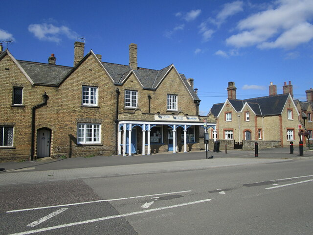
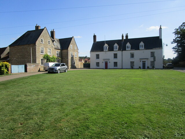
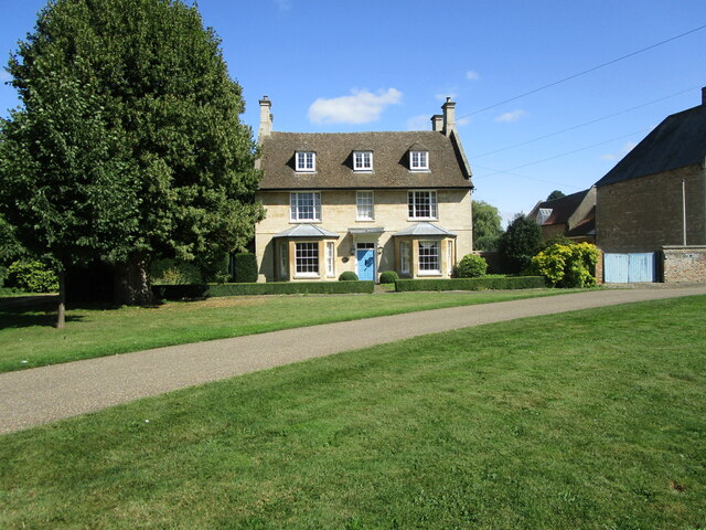
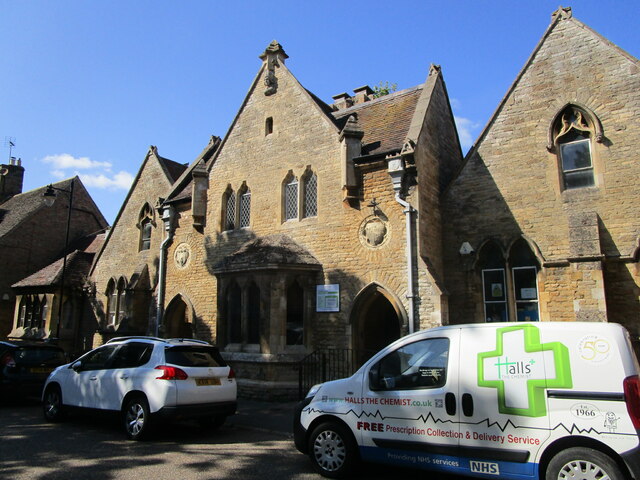
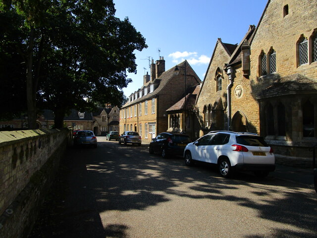
Abbey House, located in Cambridgeshire, is a historically significant heritage site that showcases the rich architectural and cultural heritage of the region. The house dates back to the 17th century and is a fine example of Jacobean architecture.
The exterior of Abbey House is characterized by its grandeur and symmetry, with a beautiful red-brick facade and elegant stone detailing. The house is surrounded by well-maintained gardens, which further enhance its charm and appeal.
Upon entering the house, visitors are greeted by a magnificent entrance hall that displays intricate woodwork and a grand staircase. The interior boasts a mix of original features and modern amenities, making it a perfect blend of old-world charm and contemporary comfort.
Abbey House also houses a museum that offers a fascinating insight into the history of the region. The museum showcases a diverse collection of artifacts, including archaeological finds, historical documents, and artworks. Visitors can explore the exhibits to learn about the local history, from the ancient periods to the modern era.
The house and museum are open to the public, allowing visitors to immerse themselves in the rich heritage of Cambridgeshire. Guided tours are available, providing detailed information about the architecture, history, and significance of Abbey House.
Overall, Abbey House in Cambridgeshire is a treasure trove of history and culture, offering a unique and enriching experience for all who visit.
If you have any feedback on the listing, please let us know in the comments section below.
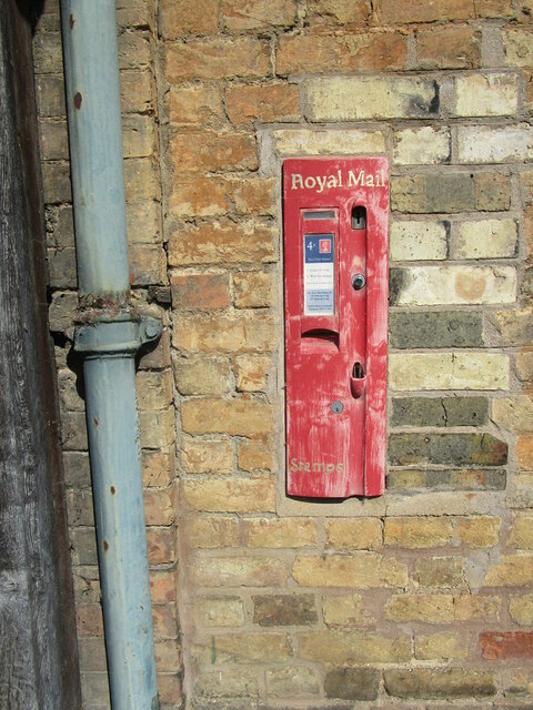
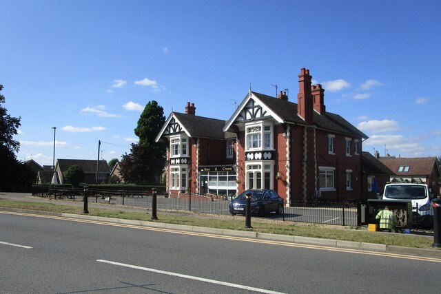
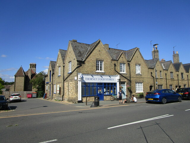
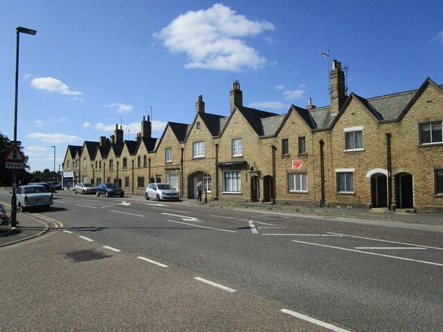
Abbey House Images
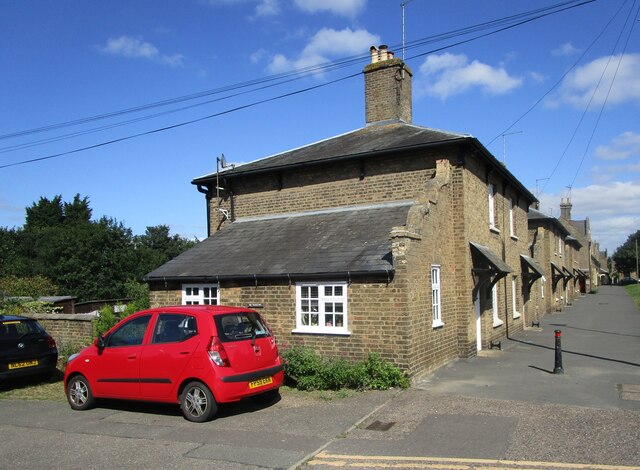
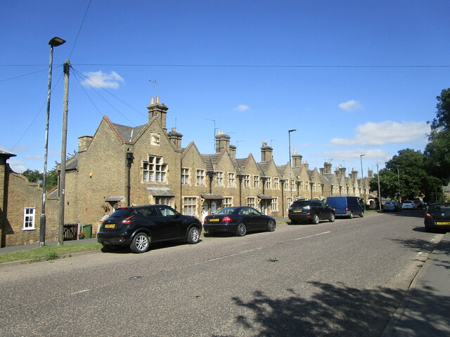
Images are sourced within 2km of 52.622/-0.102 or Grid Reference TF2804. Thanks to Geograph Open Source API. All images are credited.
Abbey House is located at Grid Ref: TF2804 (Lat: 52.622, Lng: -0.102)
Division: Isle of Ely
Unitary Authority: Peterborough
Police Authority: Cambridgeshire
What 3 Words
///leaky.ambushed.wanting. Near Thorney, Cambridgeshire
Nearby Locations
Related Wikis

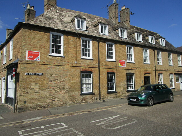
Thorney, Cambridgeshire
Thorney is a village in the Peterborough unitary authority in the ceremonial county of Cambridgeshire, England. Located around eight miles (13 km) east...

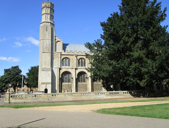
Thorney Abbey
Thorney Abbey, now the Church of St Mary and St Botolph, was a medieval monastic house established on the island of Thorney in The Fens of Cambridgeshire...

Thorney railway station
Thorney railway station was a station in Thorney, Cambridgeshire on the Midland and Great Northern Joint Railway line between Peterborough and Wisbech...

Wryde railway station
Wryde railway station was a station serving Wryde, Cambridgeshire on the Midland and Great Northern Joint Railway between Wisbech and Peterborough. Originally...
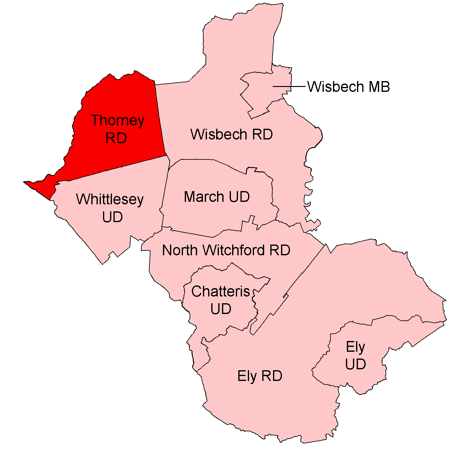
Thorney Rural District
Thorney was a rural district in England from 1894 to 1974, situated to the east of Peterborough. It was created under the Local Government Act 1894, covering...

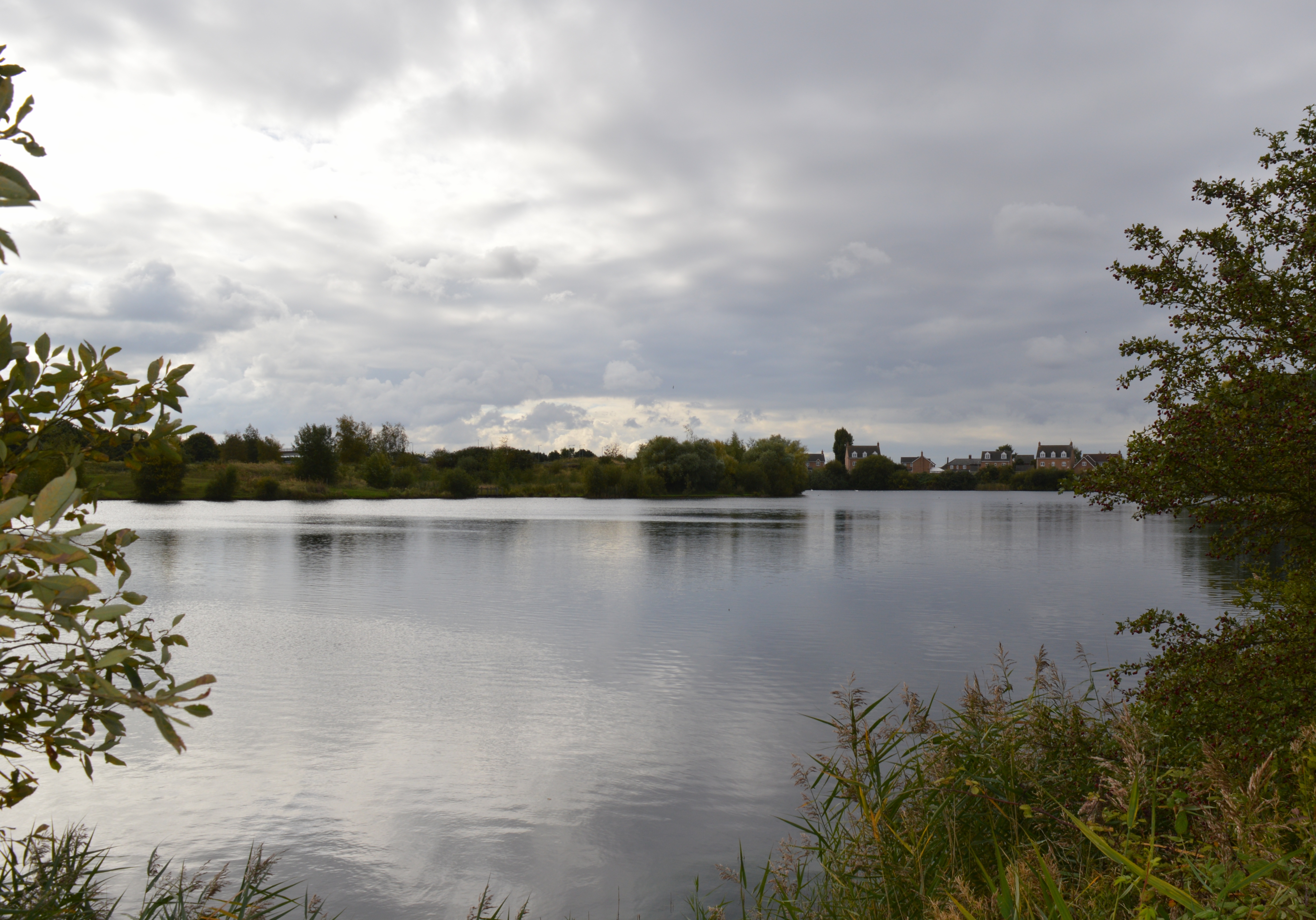
Nene Washes
Nene Washes is a 1,522-hectare (3,760-acre) biological Site of Special Scientific Interest on the bank of the River Nene east of Peterborough in Cambridgeshire...

Thorney Toll
Thorney Toll is a hamlet in Fenland District, in the Isle of Ely, Cambridgeshire, England. The hamlet sits either side of the A47 between Guyhirn and Peterborough...
Eye Green Local Nature Reserve
Eye Green Local Nature Reserve is a 12 hectare Local Nature Reserve in Eye Green in Cambridgeshire. It was managed by the Wildlife Trust for Bedfordshire...
Nearby Amenities
Located within 500m of 52.622,-0.102Have you been to Abbey House?
Leave your review of Abbey House below (or comments, questions and feedback).