Abbey House
Heritage Site in Dorset
England
Abbey House
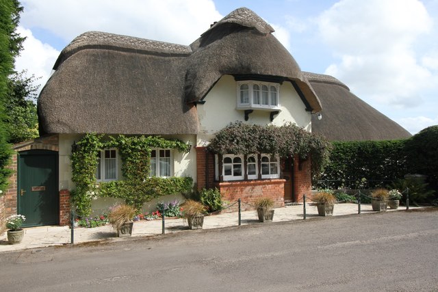
Abbey House, located in the county of Dorset, is a historic heritage site that attracts visitors from all over the world. The house, which dates back to the 16th century, is a fine example of Tudor architecture and has been meticulously preserved over the years.
Situated in a picturesque setting near the town of Sherborne, Abbey House was originally built as a residence for the abbot of Sherborne Abbey. The house features a stunning façade with intricate carvings and mullioned windows, giving it a distinctive and elegant appearance.
Inside, visitors can explore the various rooms that showcase the house's rich history. The Great Hall is a particular highlight, with its grand fireplace and oak-paneled walls. The house also boasts a beautiful chapel, which was once used for daily prayers by the abbot and his household.
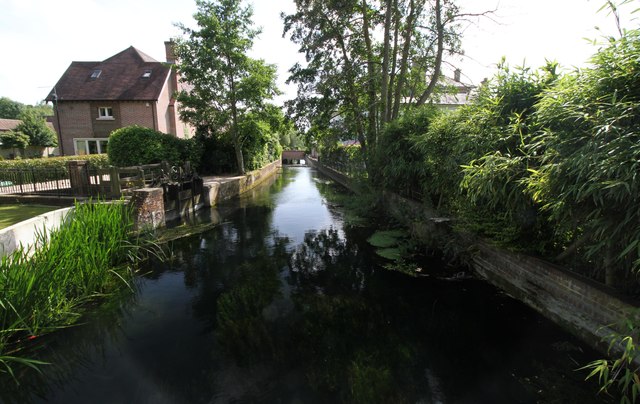
In addition to the architectural marvels, Abbey House is surrounded by well-manicured gardens that add to its charm. The gardens are a delight to wander through, with colorful flowerbeds, ancient trees, and peaceful water features. The expansive grounds also offer stunning views of the surrounding countryside.
Abbey House is open to the public, allowing visitors to step back in time and experience the grandeur of a bygone era. Guided tours are available, providing fascinating insights into the history and significance of the house. The site also hosts various events throughout the year, including concerts, exhibitions, and traditional craft demonstrations.
Overall, Abbey House in Dorset is a must-visit for history enthusiasts, architecture lovers, and anyone seeking a glimpse into the past. Its rich heritage, stunning architecture, and beautiful surroundings make it a truly captivating destination.
If you have any feedback on the listing, please let us know in the comments section below.
Abbey House Images
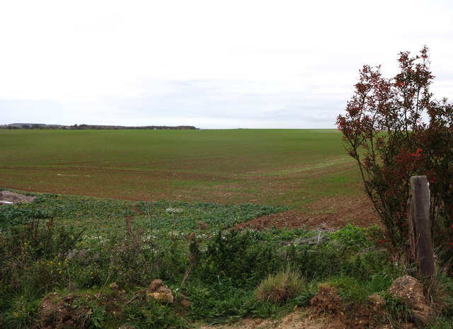
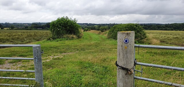
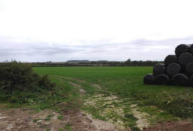
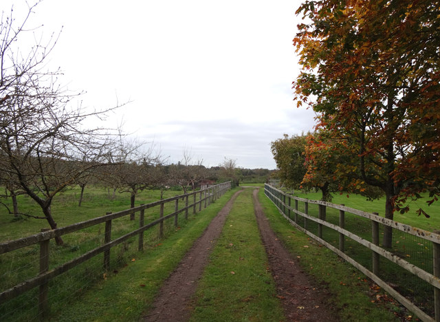
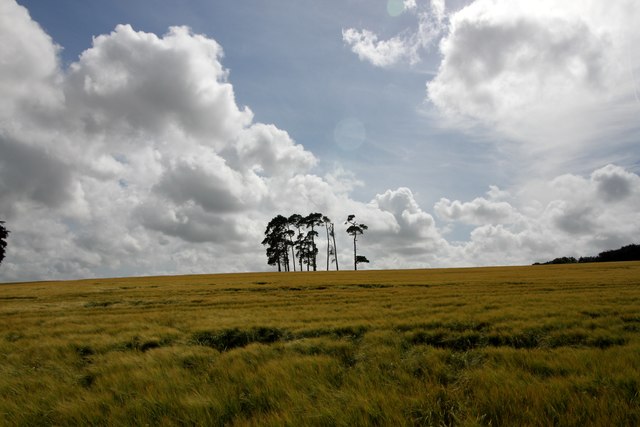
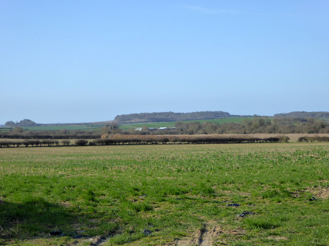
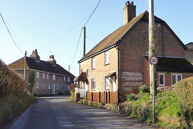
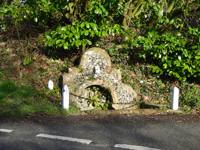
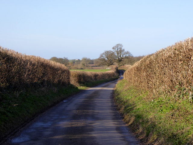
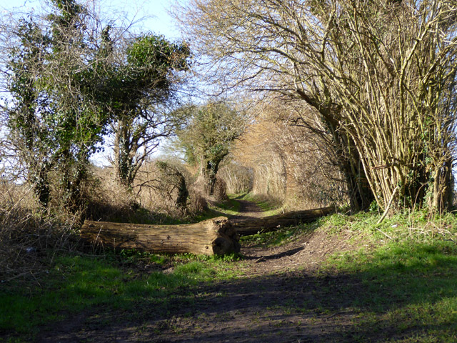
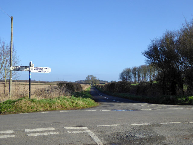
Images are sourced within 2km of 50.857/-2.022 or Grid Reference ST9806. Thanks to Geograph Open Source API. All images are credited.
Abbey House is located at Grid Ref: ST9806 (Lat: 50.857, Lng: -2.022)
Unitary Authority: Dorset
Police Authority: Dorset
What 3 Words
///shallower.cookie.overlooks. Near Sturminster Marshall, Dorset
Nearby Locations
Related Wikis

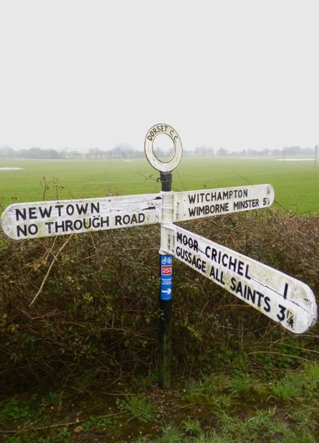
Witchampton
Witchampton is a village and civil parish in East Dorset, England, situated on the River Allen 5 miles (8 km) north of Wimborne Minster. The 2011 census...

Bryanston SSSI, Dorset
Bryanston SSSI (grid reference ST974070) is a 0.3 hectare biological Site of Special Scientific Interest in Dorset, England notified in 1977. It is used...

Crichel House
Crichel House is a Grade I listed, Classical Revival country house near the village of Moor Crichel in Dorset, England. The house has an entrance designed...
Badbury Hundred
Badbury Hundred was a hundred in the county of Dorset, England, which took its name from the earthwork of Badbury Rings. It contained the following parishes...

Moor Crichel
Moor Crichel () is a village and former civil parish, now in the parish of Crichel, in East Dorset, England situated on Cranborne Chase five miles east...

Hinton Parva
Hinton Parva is a hamlet and former civil parish, now in the civil parish of Hinton, in east Dorset, England, three miles north of Wimborne Minster. The...

Hinton Martell
Hinton Martell (also known as Hinton Martel) is a village and former civil parish, now in the civil parish of Hinton, in the county of Dorset in southern...

Chalbury
Chalbury is a village in the English county of Dorset. It lies on the southern edge of Cranborne Chase within the East Dorset administrative district of...
Related Videos

Glamping and Chill
london #londonlife #london #adventure #camping #glamping #nature #secretlondon #fujifilmphotography #fujifilm_xseries ...

White mill bridge #hobby #wimborne #dorset #droneview #dronephotography #foryou #fyp #dji #djimini3
wimborneminster # Wimborne from above a view around the town #hobby #dorset #dronephotography #droneview #dji #djimini3 ...
![Capture A Wintery Day in Dorset [Mike Browne Photo Biker 8]](https://i.ytimg.com/vi/tgegycc_7Hk/hqdefault.jpg)
Capture A Wintery Day in Dorset [Mike Browne Photo Biker 8]
The sky is blue so let's jump on the Triumph Legend, take a ride down some beautiful back roads into Dorset and see what photo ...
Nearby Amenities
Located within 500m of 50.857,-2.022Have you been to Abbey House?
Leave your review of Abbey House below (or comments, questions and feedback).