Downley Coppice

Wood, Forest in Dorset

England

Downley Coppice

River Allen, near Didlington Mill On a beautiful, warm day in July, it was a pleasure standing by this gorgeous chalk stream, watching the brown trout and counting the damsel flies.
River Allen, near Didlington Mill Credit: Ian Andrews

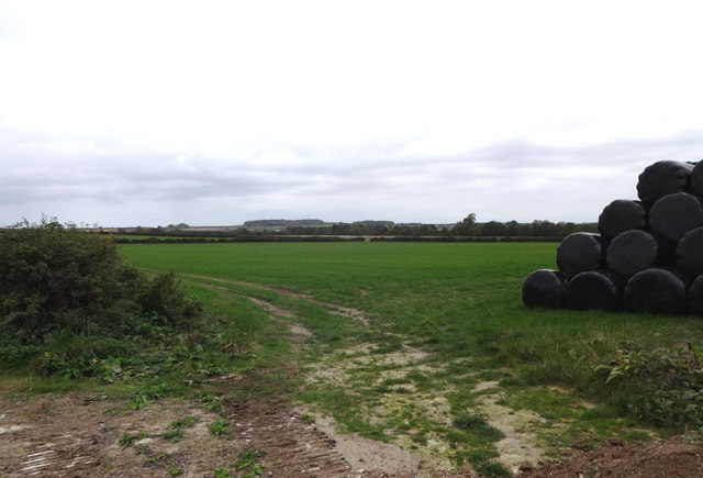
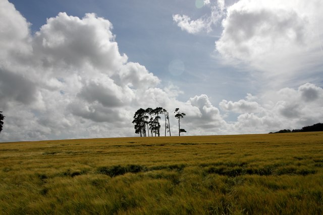
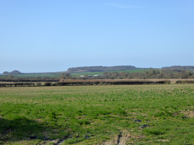
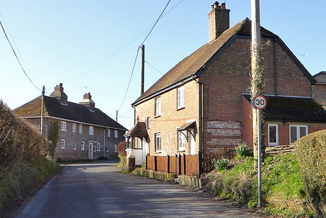
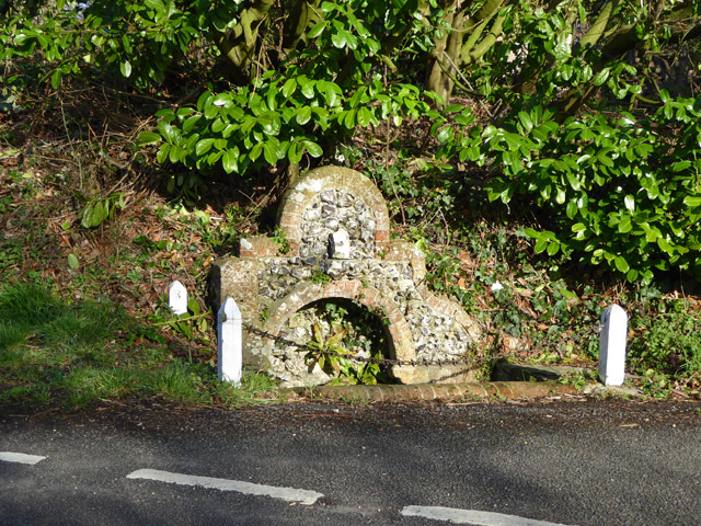
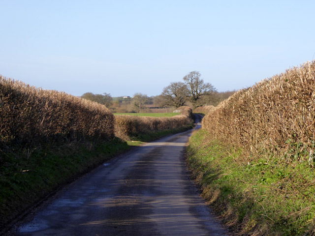
Downley Coppice is a picturesque wood located in the county of Dorset, England. Situated near the village of Blandford Forum, it covers an area of approximately 30 hectares and is a designated Site of Special Scientific Interest (SSSI).

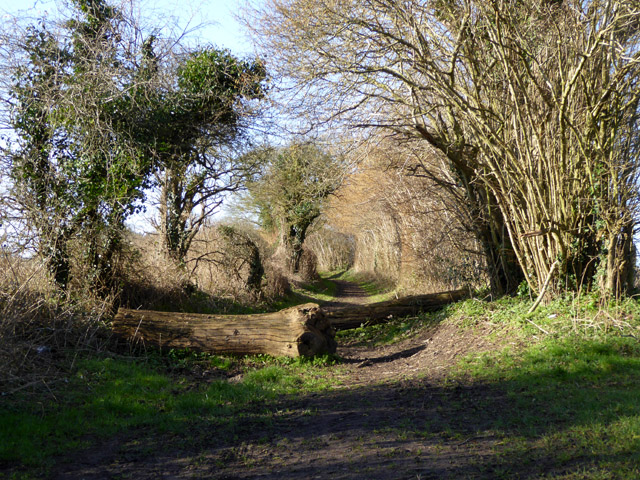
The coppice is characterized by its dense woodland, consisting primarily of oak and hazel trees. The trees are managed through a traditional coppicing technique, where certain trees are periodically cut back to the ground to encourage new growth. This practice not only ensures a sustainable supply of timber but also creates a diverse habitat for various flora and fauna.

The woodland floor is adorned with a rich carpet of bluebells during the spring, creating a breathtaking sight for visitors. It also supports a wide range of other plant species, including primroses, wild garlic, and wood sorrel. The lush undergrowth provides a perfect habitat for numerous bird species, such as blackcaps, chiffchaffs, and great spotted woodpeckers.

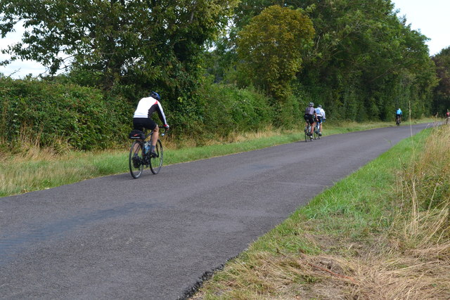
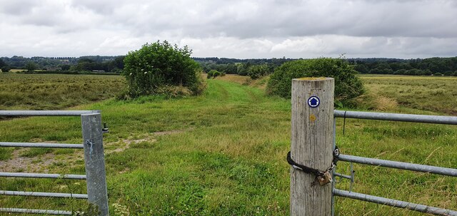
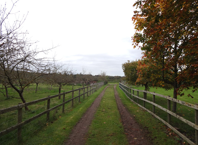
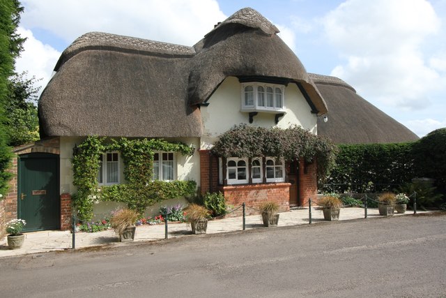
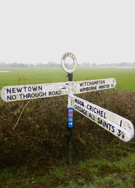
Visitors to Downley Coppice can enjoy several walking trails that meander through the woodland, allowing them to immerse themselves in the tranquility of nature. The paths offer opportunities for birdwatching, photography, and simply enjoying the peaceful ambiance of the forest. Additionally, there are designated picnic areas where visitors can relax and enjoy a meal surrounded by the beauty of the wood.

Downley Coppice is a haven for nature enthusiasts and provides a valuable habitat for wildlife. Its combination of ancient woodland, diverse flora, and abundant birdlife make it an ideal destination for those seeking an escape into nature in the heart of Dorset.

If you have any feedback on the listing, please let us know in the comments section below.

Downley Coppice Images

Images are sourced within 2km of 50.860429/-2.020053 or Grid Reference ST9806. Thanks to Geograph Open Source API. All images are credited.

River Allen, near Didlington Mill On a beautiful, warm day in July, it was a pleasure standing by this gorgeous chalk stream, watching the brown trout and counting the damsel flies.
River Allen, near Didlington Mill
On a beautiful, warm day in July, it was a pleasure standing by this gorgeous chalk stream, watching the brown trout and counting the damsel flies.
Cyclists on the lane to Hinton Martell
Footpath towards New Town
Farmland south of Witchampton Lane The hay has been wrapped in plastic and stacked for the coming winter.
Farmland south of Witchampton Lane
The hay has been wrapped in plastic and stacked for the coming winter.
High Lea Dairy An orchard and farm track alongside High Lea Dairy.
High Lea Dairy
An orchard and farm track alongside High Lea Dairy.
Pines in Barley Shame about the asymmetric shape of the pines.
Pines in Barley
Shame about the asymmetric shape of the pines.
Cottage, New Town Thatched cottages always look wonderful in the sun but personally the thought of all those spiders puts me off!
Cottage, New Town
Thatched cottages always look wonderful in the sun but personally the thought of all those spiders puts me off!
River Allen, New Town There are lots of relatively new, rather smart homes beside the River Allen at New Town.
River Allen, New Town
There are lots of relatively new, rather smart homes beside the River Allen at New Town.
Country south of Witchampton Lane High Wood on King Down is in the distance.
Country south of Witchampton Lane
High Wood on King Down is in the distance.
Houses on Lower Street, Witchampton
Fountain, Witchampton A grade II listed 'building'. Spring fed, probably 18th century.
Fountain, Witchampton
A grade II listed 'building'. Spring fed, probably 18th century.
Lane towards King Down Signed as a no through road on an old fingerpost, it is only so if a left turn is made towards King Down at a junction ahead. A right turn loops back to the lane network.
Lane towards King Down
Signed as a no through road on an old fingerpost, it is only so if a left turn is made towards King Down at a junction ahead. A right turn loops back to the lane network.
Bridleway to King Down Used by the Hardy Way trail, round the left bend ahead the path aligns with a Roman road, which is followed up to the top of King Down.
Bridleway to King Down
Used by the Hardy Way trail, round the left bend ahead the path aligns with a Roman road, which is followed up to the top of King Down.
Crossroads west of Witchampton The road straight on is Roman as it that behind the camera.
Crossroads west of Witchampton
The road straight on is Roman as it that behind the camera.
A Roman road The Romans continued straight on at the junction ahead, but the next section has fallen into total disuse.
A Roman road
The Romans continued straight on at the junction ahead, but the next section has fallen into total disuse.
Nicky House Cottage Formerly two cottages, grade II listed, around 1800.
Nicky House Cottage
Formerly two cottages, grade II listed, around 1800.
Cottages, Primrose Hill Looking very like estate cottages.
Cottages, Primrose Hill
Looking very like estate cottages.
Old Direction Sign - Signpost west of New Town, Witchampton Parish Annulus finial - 3 arms; Dorset halo without NGR by the UC road, in parish of Witchampton (East Dorset District), Newtown, junction with Lawrence Lane to Moor Crichel, next to shelter on verge.

Surveyed

Milestone Society National ID: DO_ST9907.
Old Direction Sign - Signpost west of New Town, Witchampton Parish
Annulus finial - 3 arms; Dorset halo without NGR by the UC road, in parish of Witchampton (East Dorset District), Newtown, junction with Lawrence Lane to Moor Crichel, next to shelter on verge. Surveyed Milestone Society National ID: DO_ST9907.
Show me another place!

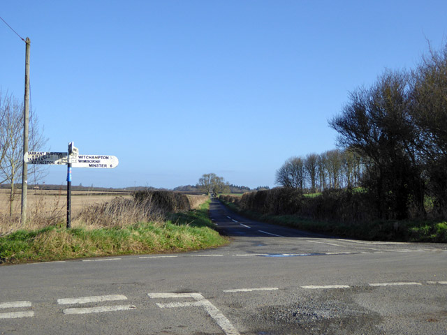
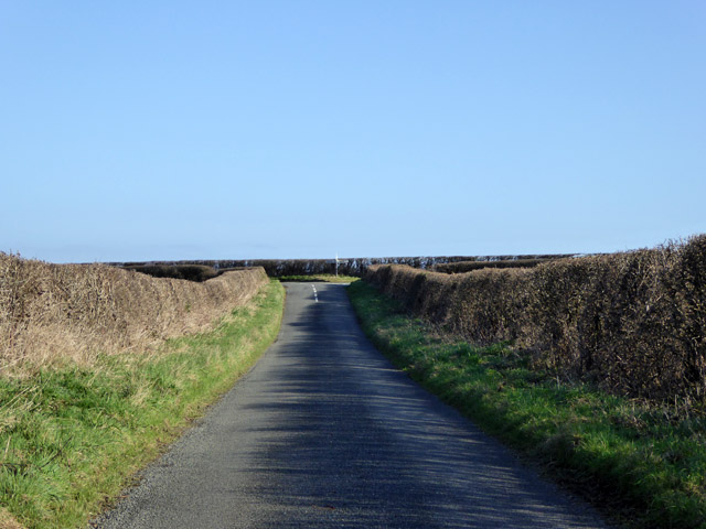
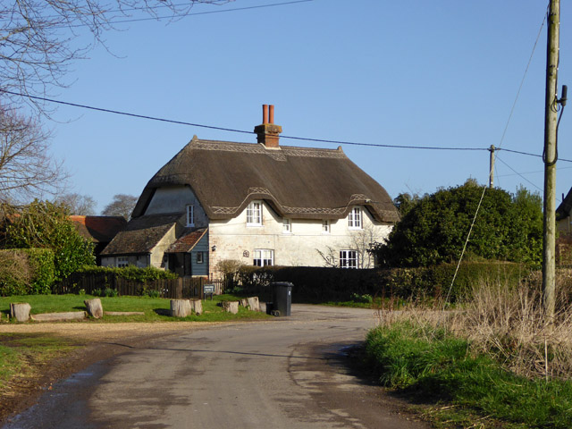
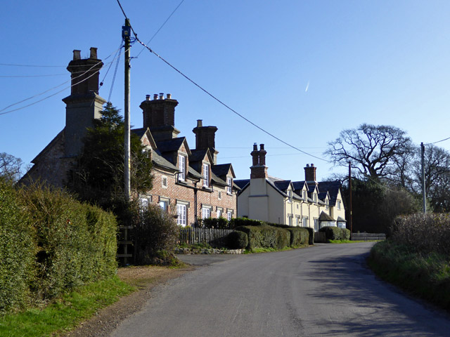
Downley Coppice is located at Grid Ref: ST9806 (Lat: 50.860429, Lng: -2.020053)

Unitary Authority: Dorset

Police Authority: Dorset

What 3 Words

///latest.assurance.chugging. Near Sturminster Marshall, Dorset

Related Wikis

Witchampton

Witchampton is a village and civil parish in East Dorset, England, situated on the River Allen 5 miles (8 km) north of Wimborne Minster. The 2011 census...

Bryanston SSSI, Dorset

Bryanston SSSI (grid reference ST974070) is a 0.3 hectare biological Site of Special Scientific Interest in Dorset, England notified in 1977. It is used...

Crichel House

Crichel House is a Grade I listed, Classical Revival country house near the village of Moor Crichel in Dorset, England. The house has an entrance designed...

Moor Crichel

Moor Crichel () is a village and former civil parish, now in the parish of Crichel, in East Dorset, England situated on Cranborne Chase five miles east...

Badbury Hundred

Badbury Hundred was a hundred in the county of Dorset, England, which took its name from the earthwork of Badbury Rings. It contained the following parishes...

Hinton Parva

Hinton Parva is a hamlet and former civil parish, now in the civil parish of Hinton, in east Dorset, England, three miles north of Wimborne Minster. The...

Hinton Martell

Hinton Martell (also known as Hinton Martel) is a village and former civil parish, now in the civil parish of Hinton, in the county of Dorset in southern...

Chalbury

Chalbury is a village in the English county of Dorset. It lies on the southern edge of Cranborne Chase within the East Dorset administrative district of...

Nearby Amenities

Located within 500m of 50.860429,-2.020053
Bench
Lat/Long: 50.8641404/-2.0166143
Cafe
Witchampton Village shop & coffee bar
Shop: convenience
Lat/Long: 50.8585685/-2.0168846
Post Box
Post Box Type: lamp
Ref: BH21 16
Ref GB Uprn: 10015309902
Lat/Long: 50.8588555/-2.0170751
Witchampton
Is In: Dorset
Place: village
Wikidata: Q8027880
Wikipedia: en:Witchampton
Lat/Long: 50.8579978/-2.0168718
Material: wood
Power: pole
Source: bing
Lat/Long: 50.8571666/-2.0216643
Material: wood
Power: pole
Source: bing
Lat/Long: 50.8578185/-2.0219888
Material: wood
Power: pole
Source: bing
Lat/Long: 50.8583908/-2.022308
Material: wood
Power: pole
Source: bing
Lat/Long: 50.8590189/-2.0226406
Material: wood
Power: pole
Source: bing
Lat/Long: 50.859664/-2.0229866
Material: wood
Power: pole
Source: bing
Lat/Long: 50.8602972/-2.0233299
Material: wood
Power: pole
Source: bing
Lat/Long: 50.8608999/-2.013395
Material: wood
Power: pole
Source: bing
Lat/Long: 50.8609287/-2.0236733
Material: wood
Power: pole
Source: bing
Lat/Long: 50.8613096/-2.0149105
Material: wood
Power: pole
Source: bing
Lat/Long: 50.8615619/-2.0240085
Material: wood
Power: pole
Source: bing
Lat/Long: 50.8617498/-2.0165064
Material: wood
Power: pole
Source: bing
Lat/Long: 50.8618057/-2.0140334
Material: wood
Power: pole
Source: bing
Lat/Long: 50.8619496/-2.0230537
Material: wood
Poles: bipole
Power: pole
Source: bing
Lat/Long: 50.8621713/-2.018113
Material: wood
Power: pole
Source: bing
Lat/Long: 50.8623339/-2.0220961
Material: wood
Power: pole
Source: bing
Lat/Long: 50.8625387/-2.0240112
Material: wood
Power: pole
Source: bing
Lat/Long: 50.8627368/-2.0211198
Material: wood
Power: pole
Source: bing
Lat/Long: 50.8628333/-2.0186602
Material: wood
Power: pole
Source: bing
Lat/Long: 50.8631279/-2.0201542
Material: wood
Power: pole
Source: bing
Lat/Long: 50.8631363/-2.0249741
Material: wood
Power: pole
Source: bing
Lat/Long: 50.8635139/-2.0192101
Material: wood
Power: pole
Source: bing
Lat/Long: 50.8641775/-2.0197519
Material: wood
Power: pole
Source: bing
Lat/Long: 50.8648563/-2.0203044
Telephone
Booth: K6
Covered: booth
Lat/Long: 50.8587107/-2.0170437
Fire Hydrant
Emergency: fire_hydrant
Fire Hydrant Diameter: 4 inch
Fire Hydrant Type: underground
Ref: 12400
Source: survey
Lat/Long: 50.856673/-2.016405
Information: guidepost
Source: survey
Tourism: information
Lat/Long: 50.8566123/-2.016364
Man Made: utility_pole
Material: wood
Operator: BT OpenReach
Ref: DP 90
Source: survey
Utility: telecom
Lat/Long: 50.8564357/-2.0216493
Information: guidepost
Source: survey
Tourism: information
Lat/Long: 50.8565167/-2.0216522
Grit Bin
Source: survey
Lat/Long: 50.8567209/-2.0228762
Fire Hydrant
Emergency: fire_hydrant
Fire Hydrant Diameter: 3 inch
Fire Hydrant Type: underground
Ref: 12385
Source: survey
Lat/Long: 50.856646/-2.022566
The data included in this document is from www.openstreetmap.org. The data is made available under ODbL.

Have you been to Downley Coppice?

Leave your review of Downley Coppice below (or comments, questions and feedback).