High Fen
Downs, Moorland in Huntingdonshire Huntingdonshire
England
High Fen

High Fen is a region located in the county of Huntingdonshire, situated in the eastern part of England. It is characterized by its unique landscape of downs and moorland, which adds to its natural beauty and appeal. Covering an area of approximately [insert number] square miles, High Fen is known for its diverse and rich flora and fauna.
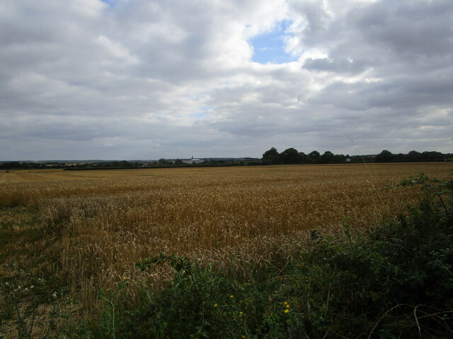
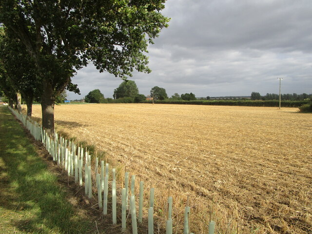
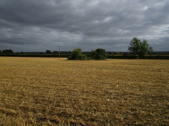
The downs in High Fen are characterized by their gently rolling hills and open grassland, providing a habitat for a variety of plant species. This landscape also offers breathtaking views of the surrounding countryside. The moorland, on the other hand, consists of wet, boggy areas with heather and sphagnum moss dominating the vegetation. This habitat attracts a range of bird species, including Eurasian curlews and common snipes.
High Fen is a popular destination for outdoor enthusiasts and nature lovers due to its extensive network of walking trails and nature reserves. These areas allow visitors to explore the unique ecosystems and observe the wildlife that thrives in this region. The Nature Reserve, in particular, is home to numerous rare and protected species, making it a significant site for conservation efforts.
In addition to its natural beauty, High Fen boasts a rich cultural heritage with archaeological sites dating back to the Neolithic period. These sites provide insights into the ancient human settlements that once thrived in this area.
Overall, High Fen, Huntingdonshire offers a captivating blend of natural splendor and cultural significance, making it a must-visit destination for those seeking to immerse themselves in the beauty of the English countryside.
If you have any feedback on the listing, please let us know in the comments section below.
High Fen Images
Images are sourced within 2km of 52.449746/-0.25646848 or Grid Reference TL1884. Thanks to Geograph Open Source API. All images are credited.


High Fen is located at Grid Ref: TL1884 (Lat: 52.449746, Lng: -0.25646848)
Administrative County: Cambridgeshire
District: Huntingdonshire
Police Authority: Cambridgeshire
What 3 Words
///waistcoat.hounded.doing. Near Sawtry, Cambridgeshire
Nearby Locations
Related Wikis

Conington Castle
Conington Castle was a 16th-century house in Conington, Huntingdonshire, England, built for Sir Robert Cotton. It was demolished in 1956 by the then owner...

All Saints Church, Conington
All Saints Church is a redundant Anglican church in the village of Conington in the Huntingdonshire district of Cambridgeshire, England. It is recorded...
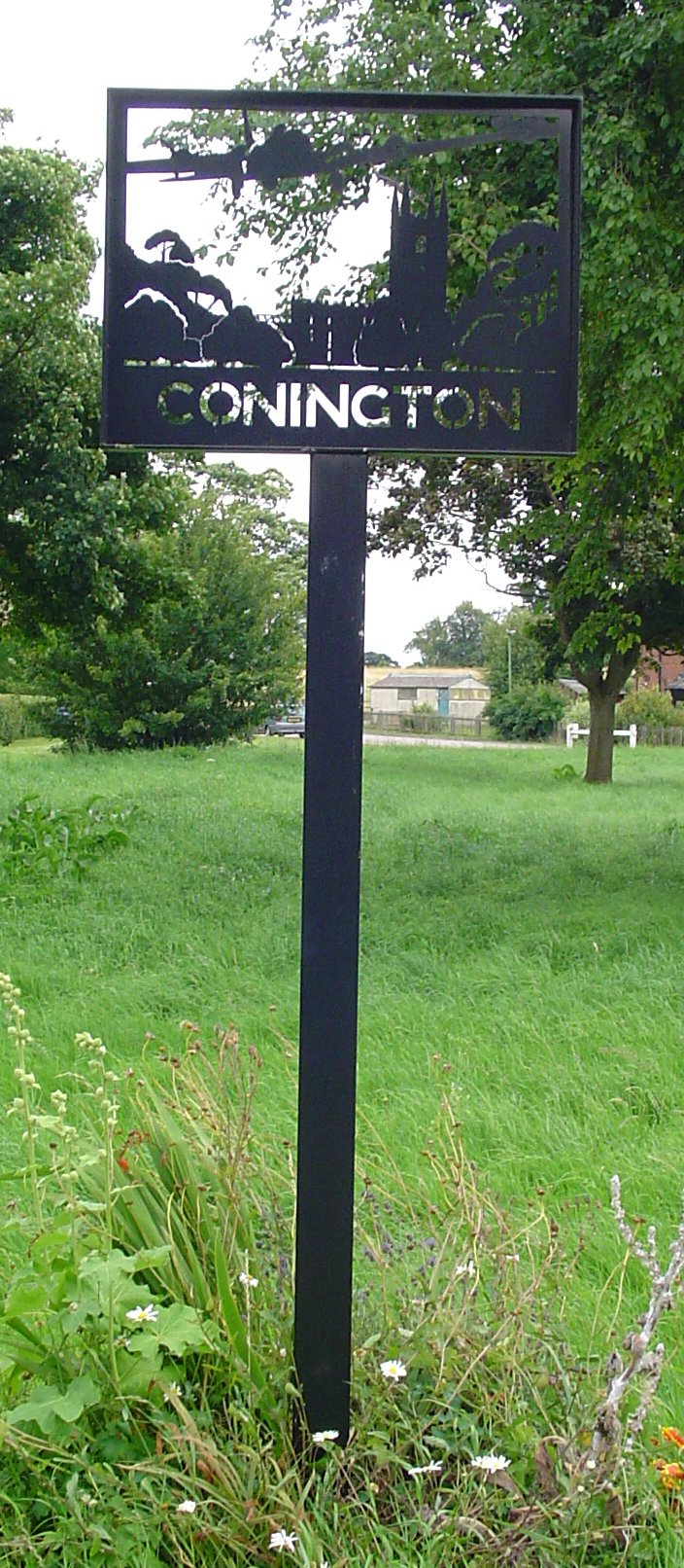
Conington, Huntingdonshire
Conington (Conington All Saints, or "Conington-juxta-Petriburg") is an English village and civil parish in the Cambridgeshire district of Huntingdonshire...

Connington South rail crash
The Connington South rail crash occurred on 5 March 1967 on the East Coast Main Line near the village of Conington, Huntingdonshire, England. Five passengers...
Have you been to High Fen?
Leave your review of High Fen below (or comments, questions and feedback).