Castle Grove
Wood, Forest in Huntingdonshire Huntingdonshire
England
Castle Grove

Castle Grove is a charming woodland area located in the district of Huntingdonshire in Cambridgeshire, England. Situated in the heart of the region, this natural haven is a popular destination for nature enthusiasts and those seeking tranquility away from the hustle and bustle of city life.
Covering an expansive area, Castle Grove is predominantly made up of dense forests, creating a serene and picturesque landscape. The woodland is comprised of a variety of tree species, including oak, beech, and birch, which contribute to the area's rich biodiversity. The forest floor is adorned with a carpet of vibrant wildflowers and ferns, adding to the area's natural beauty.
Visitors to Castle Grove can explore its numerous walking trails, allowing them to immerse themselves in the peaceful surroundings and observe the diverse wildlife that calls this place home. Animal lovers may be lucky enough to spot deer, rabbits, and a wide range of bird species, including woodpeckers and owls.
For those interested in local history, Castle Grove holds some historical significance. The area is named after a long-lost medieval castle that once stood in the vicinity. Although the castle itself no longer exists, its legacy lives on in the form of the enchanting woodland that now occupies the land.
Castle Grove offers a perfect escape for individuals looking to reconnect with nature. Its idyllic setting, abundant flora and fauna, and rich history make it a truly remarkable destination within Huntingdonshire.
If you have any feedback on the listing, please let us know in the comments section below.
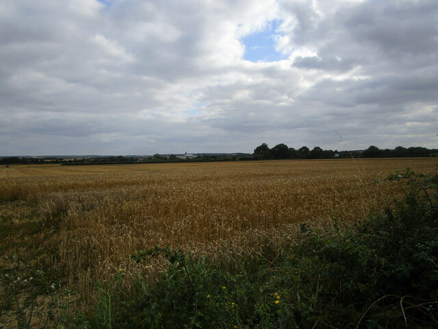
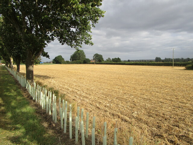
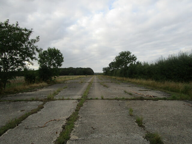
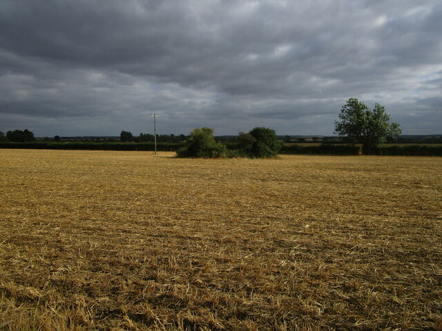
Castle Grove Images
Images are sourced within 2km of 52.446412/-0.25901334 or Grid Reference TL1884. Thanks to Geograph Open Source API. All images are credited.


Castle Grove is located at Grid Ref: TL1884 (Lat: 52.446412, Lng: -0.25901334)
Administrative County: Cambridgeshire
District: Huntingdonshire
Police Authority: Cambridgeshire
What 3 Words
///qualifier.regular.swimmer. Near Sawtry, Cambridgeshire
Nearby Locations
Related Wikis

Conington Castle
Conington Castle was a 16th-century house in Conington, Huntingdonshire, England, built for Sir Robert Cotton. It was demolished in 1956 by the then owner...

All Saints Church, Conington
All Saints Church is a redundant Anglican church in the village of Conington in the Huntingdonshire district of Cambridgeshire, England. It is recorded...

Church of All Saints, Sawtry
Church of All Saints is a Grade II listed building located in Sawtry, a village in Huntingdonshire, Cambridgeshire, England. It became a listed building...
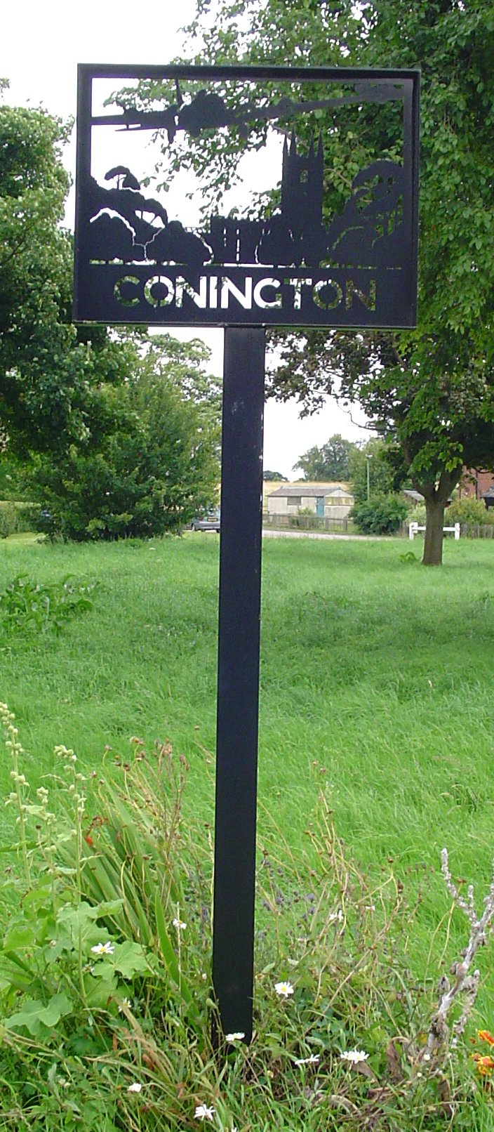
Conington, Huntingdonshire
Conington (Conington All Saints, or "Conington-juxta-Petriburg") is an English village and civil parish in the Cambridgeshire district of Huntingdonshire...
Nearby Amenities
Located within 500m of 52.446412,-0.25901334Have you been to Castle Grove?
Leave your review of Castle Grove below (or comments, questions and feedback).