Little Common
Downs, Moorland in Huntingdonshire Huntingdonshire
England
Little Common

Little Common is a small village located in the district of Huntingdonshire, Cambridgeshire, in the eastern part of England. Situated near the picturesque countryside, the village is known for its natural beauty and tranquil surroundings. The Downs and Moorland areas in Little Common are particularly noteworthy for their stunning landscapes.
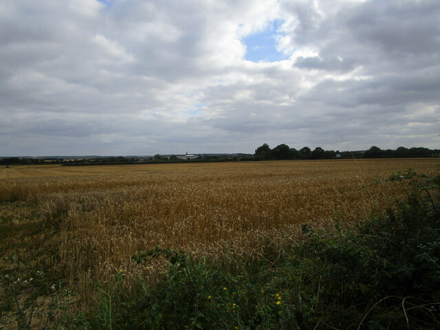
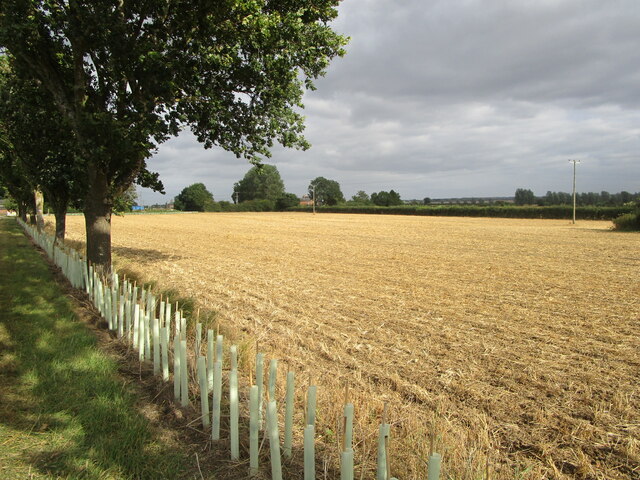
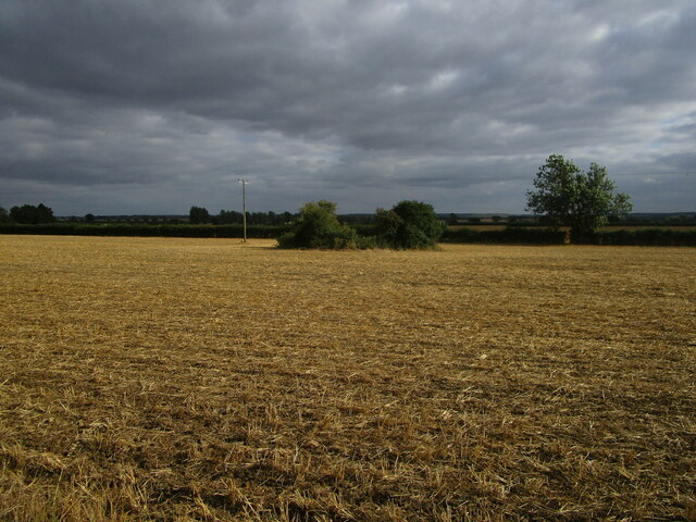
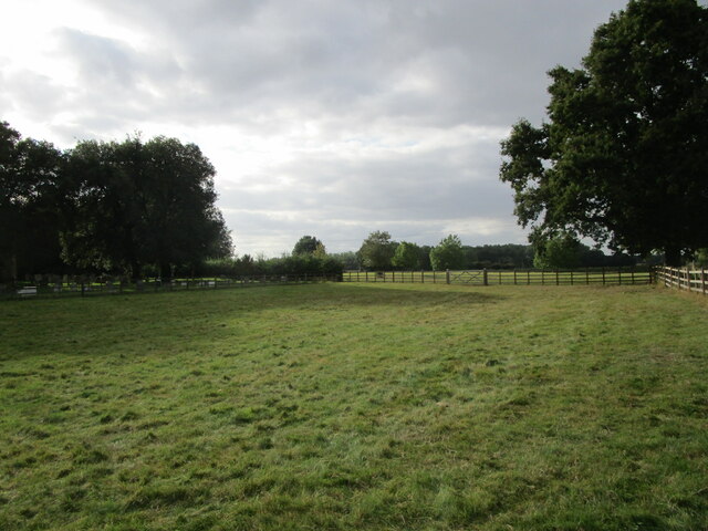
The Downs region in Little Common features rolling hills and vast open spaces, providing a perfect setting for outdoor activities such as hiking, cycling, and horseback riding. The area is adorned with lush greenery, offering breathtaking views of the countryside. It is a popular spot for nature enthusiasts and those seeking a peaceful escape from the bustling city life.
Moorland, on the other hand, is characterized by extensive areas of moor, heath, and wetland. This diverse ecosystem supports a wide range of flora and fauna, making it a haven for wildlife. The moorland offers opportunities for birdwatching, as several species of birds can be spotted in the area. Additionally, it provides a unique habitat for various plant species, including heather, moss, and ferns.
In terms of amenities, Little Common offers a range of facilities to its residents and visitors. There are several quaint pubs and restaurants where one can enjoy traditional English cuisine. The village also has a local community center and a primary school, catering to the needs of the local population.
Overall, Little Common, Huntingdonshire, with its Downs and Moorland areas, is a charming village that showcases the natural beauty of the English countryside. It is a peaceful retreat for those seeking tranquility and a perfect destination for nature lovers.
If you have any feedback on the listing, please let us know in the comments section below.
Little Common Images
Images are sourced within 2km of 52.441587/-0.25802651 or Grid Reference TL1884. Thanks to Geograph Open Source API. All images are credited.


Little Common is located at Grid Ref: TL1884 (Lat: 52.441587, Lng: -0.25802651)
Administrative County: Cambridgeshire
District: Huntingdonshire
Police Authority: Cambridgeshire
What 3 Words
///ripen.quicksand.scouting. Near Sawtry, Cambridgeshire
Nearby Locations
Related Wikis

Church of All Saints, Sawtry
Church of All Saints is a Grade II listed building located in Sawtry, a village in Huntingdonshire, Cambridgeshire, England. It became a listed building...

Sawtry
Sawtry () is a village and civil parish in Cambridgeshire, England. Sawtry lies approximately 8 miles (13 km) north of Huntingdon. Sawtry is situated within...
Sawtry Village Academy
Sawtry Village Academy (formerly Sawtry Community College) is a mixed secondary school and sixth form located in the village of Sawtry, Cambridgeshire...
Connington South rail crash
The Connington South rail crash occurred on 5 March 1967 on the East Coast Main Line near the village of Conington, Huntingdonshire, England. Five passengers...
Nearby Amenities
Located within 500m of 52.441587,-0.25802651Have you been to Little Common?
Leave your review of Little Common below (or comments, questions and feedback).