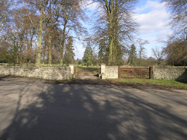
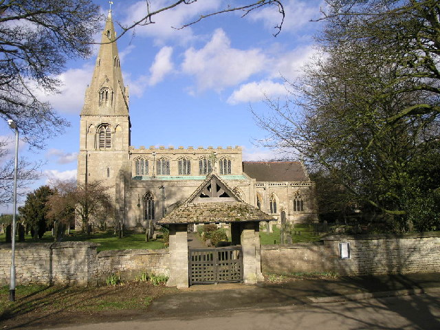
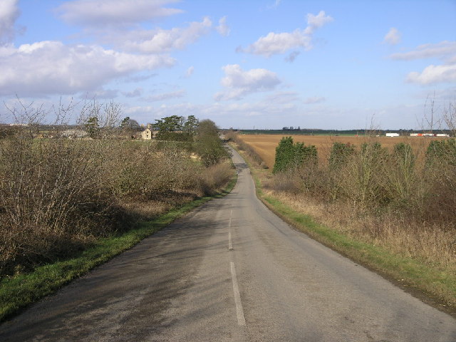
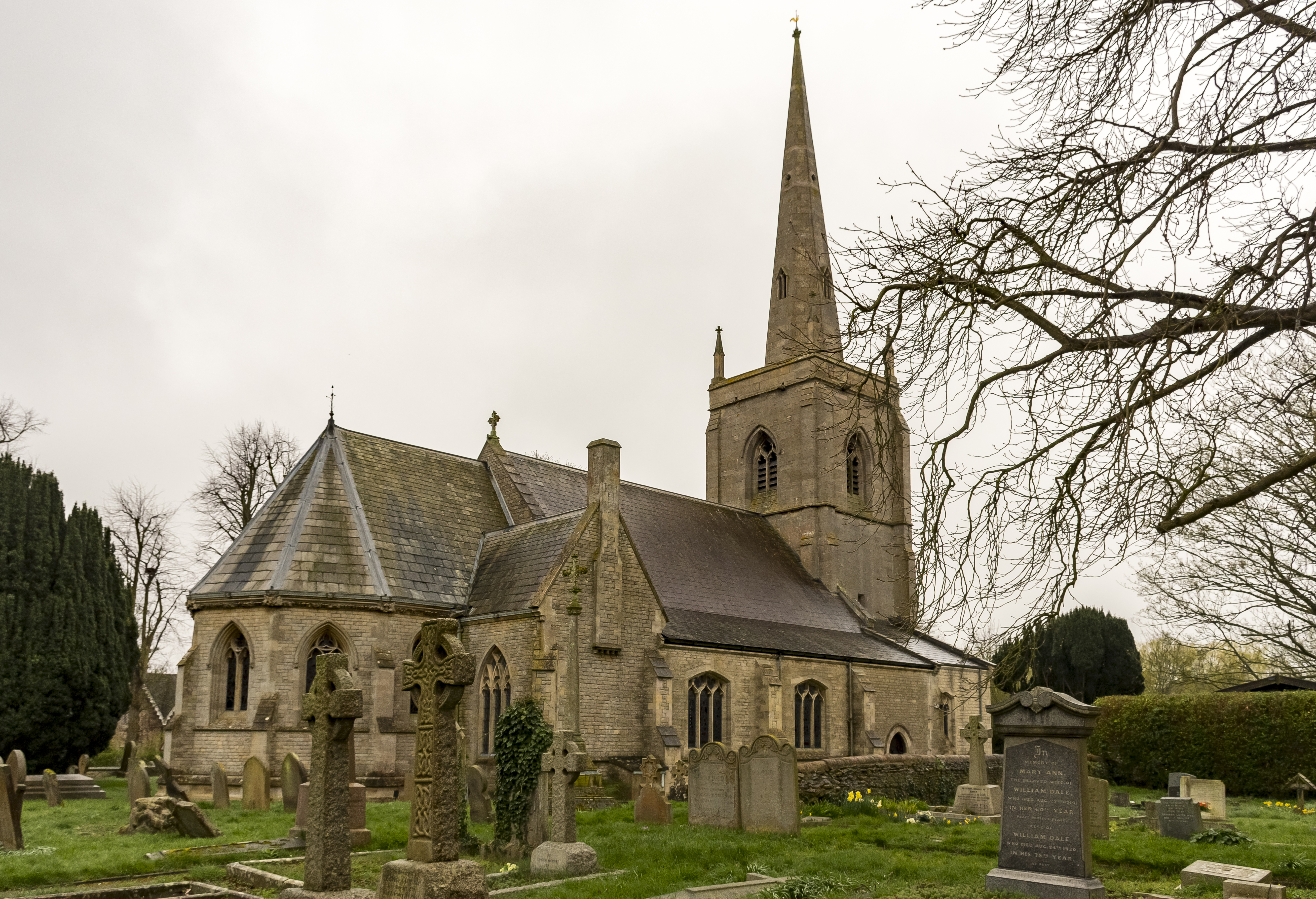
Rauceby Park

Downs, Moorland in Lincolnshire North Kesteven

England

Rauceby Park

Rauceby Signal box and Willoughby Road level crossing
Rauceby Signal box and Willoughby Road level crossing Credit: Roger Templeman

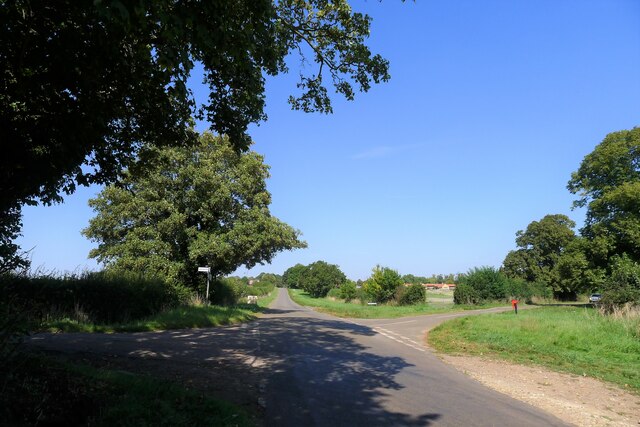
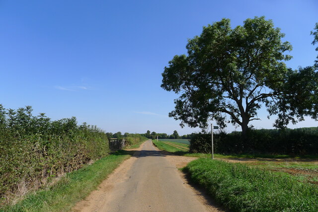
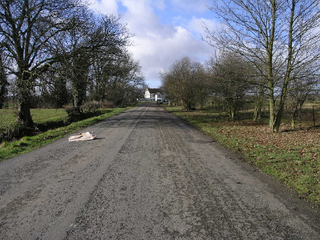
Rauceby Park, located in Lincolnshire, is a picturesque estate renowned for its captivating blend of downs and moorland landscapes. Spanning over a vast expanse of approximately 200 acres, the park offers visitors a serene and idyllic retreat from the bustling city life.

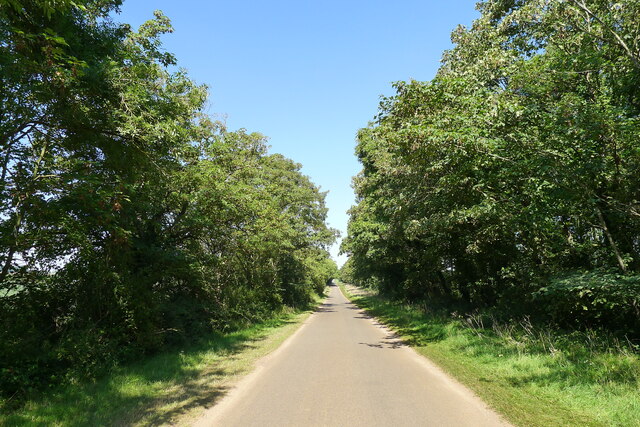
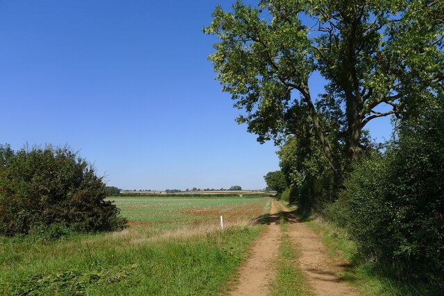
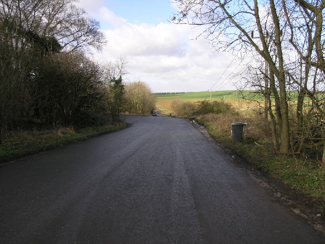
The downs of Rauceby Park present visitors with rolling hills covered in lush grasses and wildflowers, creating a vibrant and colorful landscape. The gentle slopes provide a perfect setting for leisurely walks and picnics, offering panoramic views of the surrounding countryside. The area is also home to a variety of wildlife, including rabbits, foxes, and an array of bird species, making it a popular spot for nature enthusiasts and birdwatchers.

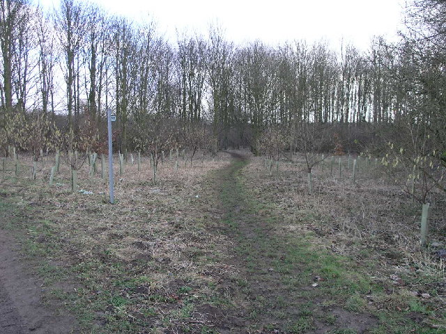
In contrast, the moorland section of Rauceby Park offers a more rugged and untamed experience. Here, visitors can explore heather-covered hills and rocky outcrops that provide a striking contrast to the downs. The moorland is a haven for wildlife, with sightings of deer and other elusive creatures being a common occurrence.

The park is also home to a beautifully preserved Victorian walled garden, which adds to its charm and historical significance. The garden showcases an array of vibrant flowers, perfectly manicured lawns, and intricate pathways, inviting visitors to take a leisurely stroll and immerse themselves in its beauty.

Overall, Rauceby Park in Lincolnshire offers a diverse and captivating natural environment, combining the gentle downs with the wild moorland, creating a haven for nature lovers and those seeking tranquility amidst the stunning Lincolnshire countryside.

If you have any feedback on the listing, please let us know in the comments section below.
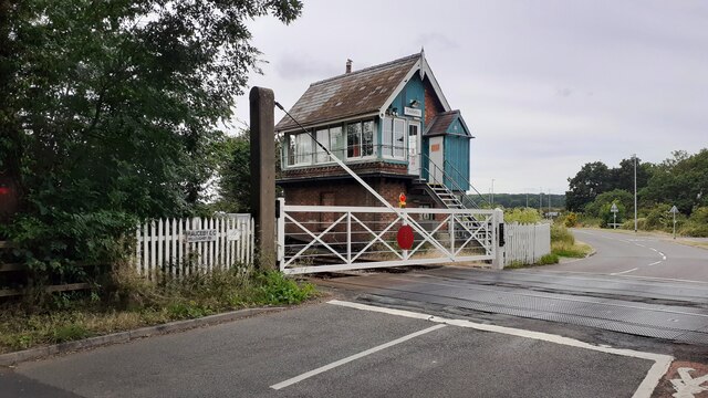
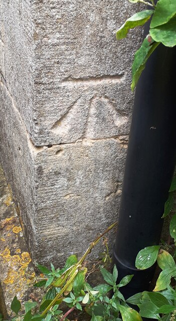
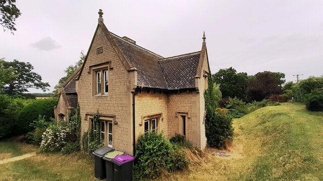
Rauceby Park Images

Images are sourced within 2km of 53.000093/-0.47212456 or Grid Reference TF0245. Thanks to Geograph Open Source API. All images are credited.

Rauceby Signal box and Willoughby Road level crossing
Benchmark on house #53 Ordnance Survey cut mark benchmark levelled at 20.831m above Newlyn Datum in 1955 and verified in 1969
Benchmark on house #53
Ordnance Survey cut mark benchmark levelled at 20.831m above Newlyn Datum in 1955 and verified in 1969
House Nos. 52 and 53 at junction of Gantham Road and Rauceby Drove There is an Ordnance Survey benchmark <a href="https://www.geograph.org.uk/photo/7530962">TF0344 : Benchmark on house #53</a> on the near corner of the building (which has an 1852 date stone)  between the right-hand wheelie bin and the black downpipe.
House Nos. 52 and 53 at junction of Gantham Road and Rauceby Drove
There is an Ordnance Survey benchmark TF0344 : Benchmark on house #53 on the near corner of the building (which has an 1852 date stone) between the right-hand wheelie bin and the black downpipe.
Rauceby Station, house, level crossing and signal box
Rauceby Station On the Ancaster to Sleaford 'Poacher' line. Limited service.
Rauceby Station
On the Ancaster to Sleaford 'Poacher' line. Limited service.
Thorpe Drove climbing the flank of Cliff Hill At the eastern end of the Ancaster Gap
Thorpe Drove climbing the flank of Cliff Hill
At the eastern end of the Ancaster Gap
Thorpe Drove leading to South Rauceby Waterwell lane to the left, and Cliffe View to the right.
Thorpe Drove leading to South Rauceby
Waterwell lane to the left, and Cliffe View to the right.
The Bustard Inn, South Rauceby Listed Grade II, from 1860 <span class="nowrap"><a title="https://thebustardinn.co.uk/" rel="nofollow ugc noopener" href="https://thebustardinn.co.uk/">Link</a><img style="margin-left:2px;" alt="External link" title="External link - shift click to open in new window" src="https://s1.geograph.org.uk/img/external.png" width="10" height="10"/></span>. But the last bustard in Britain died in the 1830s, so when did the inn get its name?
The Bustard Inn, South Rauceby
Listed Grade II, from 1860 LinkExternal link. But the last bustard in Britain died in the 1830s, so when did the inn get its name?
70 Main Street, South Rauceby Listed Grade II, a former early 19th century tower mill <span class="nowrap"><a title="https://historicengland.org.uk/listing/the-list/list-entry/1061775?section=official-list-entry" rel="nofollow ugc noopener" href="https://historicengland.org.uk/listing/the-list/list-entry/1061775?section=official-list-entry">Link</a><img style="margin-left:2px;" alt="External link" title="External link - shift click to open in new window" src="https://s1.geograph.org.uk/img/external.png" width="10" height="10"/></span>
70 Main Street, South Rauceby
Listed Grade II, a former early 19th century tower mill LinkExternal link
Track running towards Waterwell Lane
Waterwell Lane heading east towards South Rauceby The footpath runs south-west to Wilford
Waterwell Lane heading east towards South Rauceby
The footpath runs south-west to Wilford
Field of carrots south of Waterwell Lane Carrots prefer a sandy, stone-free soil, provided here by Quaternary sand deposits in the Ancaster Gap.
Field of carrots south of Waterwell Lane
Carrots prefer a sandy, stone-free soil, provided here by Quaternary sand deposits in the Ancaster Gap.
Old A17 This piece of road is now a lay-by but was once the A17 just west of Sleaford looking towards Cranwell Airfield.  The A17 now follows a straighter line and is just behind the hedge on the left.
Old A17
This piece of road is now a lay-by but was once the A17 just west of Sleaford looking towards Cranwell Airfield. The A17 now follows a straighter line and is just behind the hedge on the left.
Old A17 Now an access road and lay-by this road was once the A17.  The bend near to the house in the distance is almost 90 degrees. See <a href="https://www.geograph.org.uk/gridref/TF0347">TF0347</a>
Old A17
Now an access road and lay-by this road was once the A17. The bend near to the house in the distance is almost 90 degrees. See TF0347
Footpath To Quarrington This footpath leads from South Rauceby through a small copse and over the fields to Quarrington.
Footpath To Quarrington
This footpath leads from South Rauceby through a small copse and over the fields to Quarrington.
Cattle Grid Access This access gate to Rauceby Hall is protected by a cattle grid.
Cattle Grid Access
This access gate to Rauceby Hall is protected by a cattle grid.
St Peter's Church St Peter's Church in North Rauceby has an interesting lyche gate with a carved inscription which suggests it was built in memory of a former parishioner.
St Peter's Church
St Peter's Church in North Rauceby has an interesting lyche gate with a carved inscription which suggests it was built in memory of a former parishioner.
A17 Horizon The A17 runs along the horizon with Cranwell just beyond.
A17 Horizon
The A17 runs along the horizon with Cranwell just beyond.
Show me another place!

Rauceby Park is located at Grid Ref: TF0245 (Lat: 53.000093, Lng: -0.47212456)

Administrative County: Lincolnshire

District: North Kesteven

Police Authority: Lincolnshire

What 3 Words

///distorts.insects.familiar. Near Sleaford, Lincolnshire

Related Wikis

South Rauceby Hall

South Rauceby Hall, South Rauceby, Lincolnshire, England is a country house dating from the mid-19th century. It was designed by William Burn in 1842 for...

South Rauceby

South Rauceby is a village and civil parish in the North Kesteven district of Lincolnshire, England. It is situated 2.5 miles (4.0 km) west from Sleaford...

North Rauceby

North Rauceby is a village and civil parish in the North Kesteven district of Lincolnshire, England. It is situated 4 miles (6 km) north-west from Sleaford...

Rauceby railway station

Rauceby railway station is a station near the town of Sleaford, Lincolnshire, England, lying close to the western border of the Parish of Old Sleaford...

Rauceby Hospital

Rauceby Hospital, originally called Kesteven County Asylum, is a now-defunct mental institution in the parish of Quarrington, Lincolnshire, England. Originally...

Wilsford, Lincolnshire

Wilsford is a village and civil parish in the North Kesteven district of Lincolnshire, England. The population of the civil parish was 400 at the 2011...

No. 16 Squadron RAF

Number 16 Squadron Royal Air Force, nicknamed 'the Saints', is a flying squadron of the Royal Air Force (RAF) who currently provide elementary flying training...

St Botolph's Church, Quarrington

St Botolph's Church is an Anglican church in Quarrington in Lincolnshire, England. The area has been settled since at least the Anglo-Saxon period, and...

Nearby Amenities

Located within 500m of 53.000093,-0.47212456
South Rauceby
Is In: Lincolnshire, England, UK
Place: village
Source: NPE
Lat/Long: 52.9966735/-0.4701711
Bus Stop
Cliffe View
Naptan AtcoCode: 270000008392
Naptan Bearing: NW
Naptan CommonName: Cliffe View
Naptan Indicator: adj
Naptan Landmark: Cliffe View
Naptan NaptanCode: lingpwad
Naptan Street: Rauceby Drove
Naptan Verified: no
Source: naptan_import
Lat/Long: 52.9958391/-0.470261
Bus Stop
Cliffe View
Naptan AtcoCode: 270000008393
Naptan Bearing: SE
Naptan CommonName: Cliffe View
Naptan Indicator: opp
Naptan Landmark: Cliffe View
Naptan NaptanCode: lingpwag
Naptan Street: Rauceby Drove
Naptan Verified: no
Source: naptan_import
Lat/Long: 52.9958542/-0.470037
Bus Stop
Tom Lane
Naptan AtcoCode: 270000008394
Naptan Bearing: E
Naptan CommonName: Tom Lane
Naptan Indicator: adj
Naptan Landmark: Tom Lane
Naptan NaptanCode: lingpwaj
Naptan Street: Main Street
Naptan Verified: no
Source: naptan_import
Lat/Long: 52.9978406/-0.4734984
Bus Stop
Primary School
Naptan AtcoCode: 270002700080
Naptan Bearing: SE
Naptan CommonName: Primary School
Naptan Indicator: opp
Naptan Landmark: Primary School
Naptan NaptanCode: linjtamt
Naptan Street: Tom Lane
Naptan Verified: no
Source: naptan_import
Lat/Long: 53.0028208/-0.4755731
Bus Stop
Primary School
Naptan AtcoCode: 2700LNRP2425
Naptan Bearing: NW
Naptan CommonName: Primary School
Naptan Indicator: adj
Naptan Landmark: Primary School
Naptan NaptanCode: linatada
Naptan Street: Tom Lane
Naptan Verified: no
Source: naptan_import
Lat/Long: 53.0027591/-0.4756647
Bus Stop
Tom Lane
Naptan AtcoCode: 2700LSRB1516
Naptan Bearing: W
Naptan CommonName: Tom Lane
Naptan Indicator: opp
Naptan Landmark: Tom Lane
Naptan NaptanCode: linamagw
Naptan Street: Main Street
Naptan Verified: no
Source: naptan_import
Lat/Long: 52.997752/-0.4736058
Rauceby Park
Place: locality
Source: Bing
Lat/Long: 52.9994152/-0.4679991
Tom Lane Hill
Place: locality
Source: Bing
Lat/Long: 52.9993203/-0.4727862
Historic Amenity: place_of_worship
Religion: christian
Lat/Long: 52.9980236/-0.4770141
Historic Amenity: place_of_worship
Religion: christian
Lat/Long: 52.999357/-0.4712285
Power: pole
Lat/Long: 53.0024048/-0.466361
Telephone
Booth: K6
Covered: booth
Man Made: telephone_box
Old Phone: +44 1529 488214
Lat/Long: 52.9976952/-0.4722013
Post Box
Post Box Mounting: wooden_post
Post Box Type: lamp
Lat/Long: 52.997696/-0.4722416
The data included in this document is from www.openstreetmap.org. The data is made available under ODbL.

Have you been to Rauceby Park?

Leave your review of Rauceby Park below (or comments, questions and feedback).