Southgate Spinney
Wood, Forest in Lincolnshire North Kesteven
England
Southgate Spinney
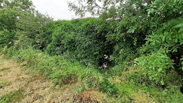
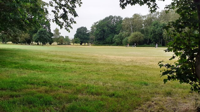
Southgate Spinney is a charming woodland located in Lincolnshire, England. Situated in the village of Southgate, it offers a serene and tranquil escape from the bustling city life. Spanning over a vast area, the spinney is a beautiful mix of native trees, including oak, birch, and beech, creating a picturesque forest landscape.
The woodland is a popular destination for nature enthusiasts and outdoor lovers. It provides numerous walking and hiking trails, allowing visitors to explore its natural beauty. The well-maintained paths wind through the forest, leading to hidden clearings and peaceful spots. It is not uncommon to stumble upon a variety of wildlife, such as deer, squirrels, and a myriad of bird species, making it a haven for birdwatchers.
Aside from its natural allure, Southgate Spinney also holds historical significance. It is believed to have existed for hundreds of years and has witnessed significant events throughout history. The spinney has served as a vital resource for local communities in the past, providing timber for construction and fuel.
Today, Southgate Spinney remains a cherished gem for the residents of Lincolnshire. It offers a retreat to nature, providing a tranquil environment for relaxation and recreation. Whether it's a leisurely stroll, a family picnic, or immersing oneself in the enchanting beauty of the woodland, Southgate Spinney is a true haven for all who appreciate the wonders of nature.
If you have any feedback on the listing, please let us know in the comments section below.
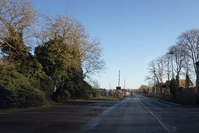
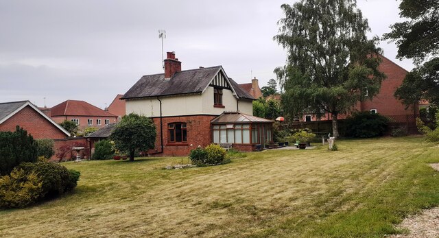
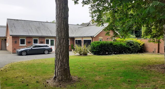
Southgate Spinney Images
Images are sourced within 2km of 52.994896/-0.46859787 or Grid Reference TF0245. Thanks to Geograph Open Source API. All images are credited.


Southgate Spinney is located at Grid Ref: TF0245 (Lat: 52.994896, Lng: -0.46859787)
Administrative County: Lincolnshire
District: North Kesteven
Police Authority: Lincolnshire
What 3 Words
///ducks.merely.equivocal. Near Sleaford, Lincolnshire
Nearby Locations
Related Wikis

South Rauceby
South Rauceby is a village and civil parish in the North Kesteven district of Lincolnshire, England. It is situated 2.5 miles (4.0 km) west from Sleaford...

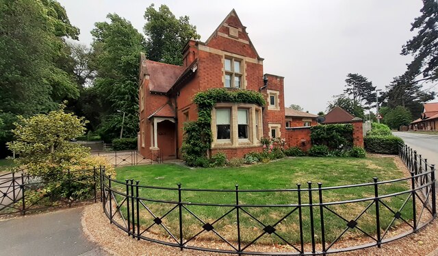
South Rauceby Hall
South Rauceby Hall, South Rauceby, Lincolnshire, England is a country house dating from the mid-19th century. It was designed by William Burn in 1842 for...

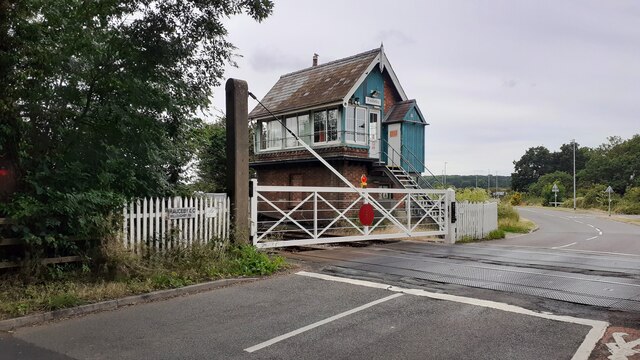
Rauceby railway station
Rauceby railway station is a station near the town of Sleaford, Lincolnshire, England, lying close to the western border of the Parish of Old Sleaford...

North Rauceby
North Rauceby is a village and civil parish in the North Kesteven district of Lincolnshire, England. It is situated 4 miles (6 km) north-west from Sleaford...
Nearby Amenities
Located within 500m of 52.994896,-0.46859787Have you been to Southgate Spinney?
Leave your review of Southgate Spinney below (or comments, questions and feedback).