Hollow Belt
Wood, Forest in Lincolnshire North Kesteven
England
Hollow Belt
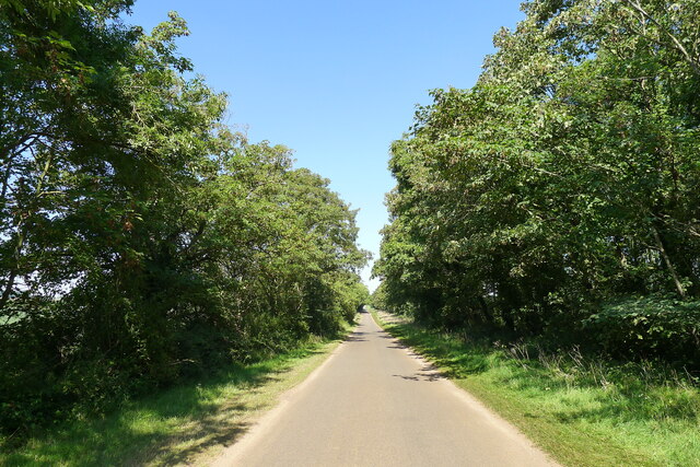
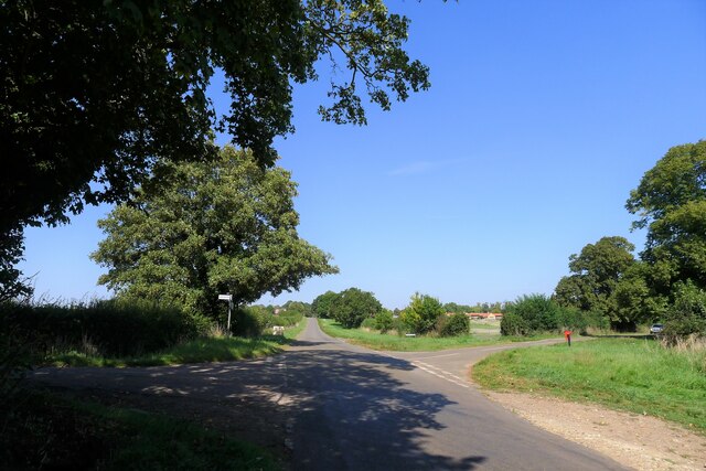
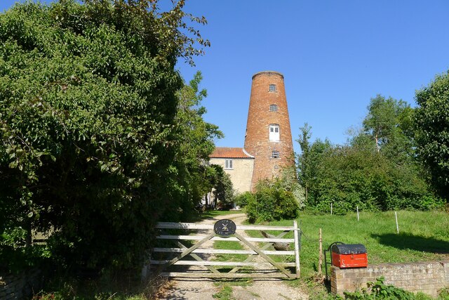
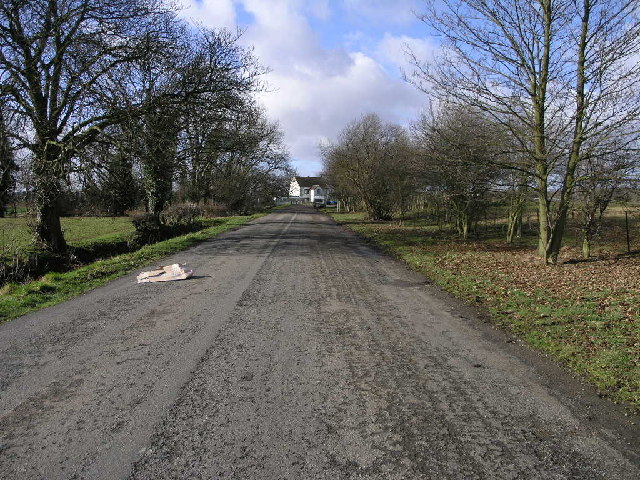
Hollow Belt, located in Lincolnshire, is a picturesque wood and forest area that offers a serene and tranquil escape from the hustle and bustle of city life. Spanning over several acres, this charming destination is known for its dense foliage, towering trees, and diverse wildlife.
The wood and forest of Hollow Belt are home to a wide variety of plant species, creating a vibrant and lush environment. Visitors can expect to find towering oak, beech, and ash trees, as well as an array of wildflowers and ferns. The natural beauty of the area is further enhanced by a meandering stream that runs through the heart of the forest, adding an element of serenity to the surroundings.
Nature enthusiasts and bird watchers will be delighted by the abundant wildlife that calls Hollow Belt home. The wood is teeming with various bird species, including woodpeckers, owls, and finches, making it a haven for birdwatching enthusiasts. Additionally, the forest provides a habitat for a range of mammals, including squirrels, deer, and foxes, offering ample opportunities for wildlife spotting and photography.
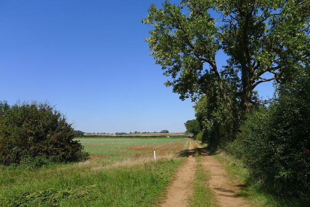
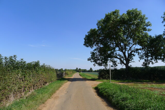
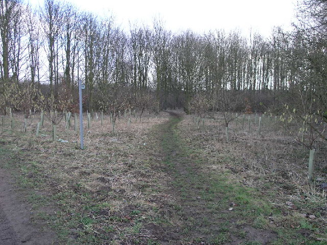
Hollow Belt is a popular destination for outdoor activities such as walking, hiking, and cycling. The well-maintained trails wind through the wood and forest, allowing visitors to explore the area at their own pace. Picnic areas are scattered throughout the wood, providing a perfect spot to relax and enjoy the scenic surroundings.
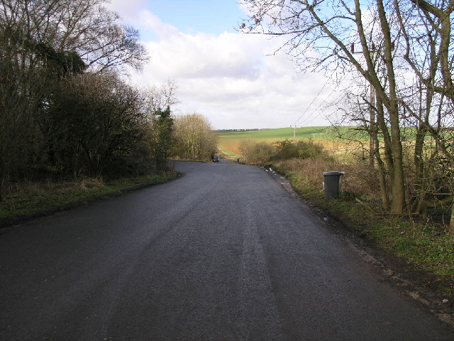
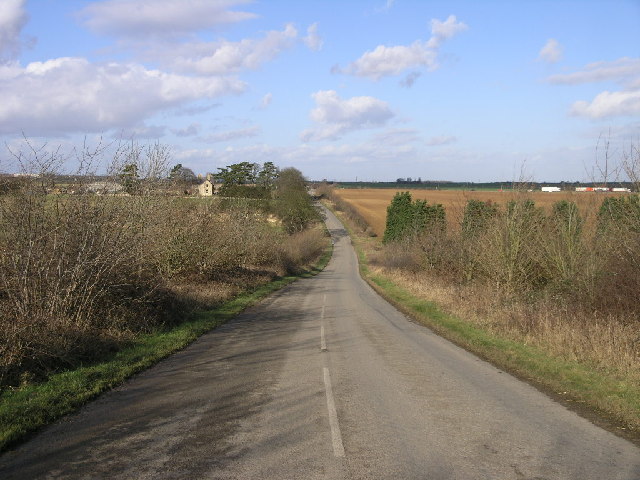
Overall, Hollow Belt in Lincolnshire is a nature lover's paradise, offering a peaceful retreat and a chance to immerse oneself in the beauty of the wood and forest. With its diverse flora and fauna, it is an idyllic destination for those seeking solace in nature.
If you have any feedback on the listing, please let us know in the comments section below.
Hollow Belt Images
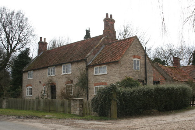
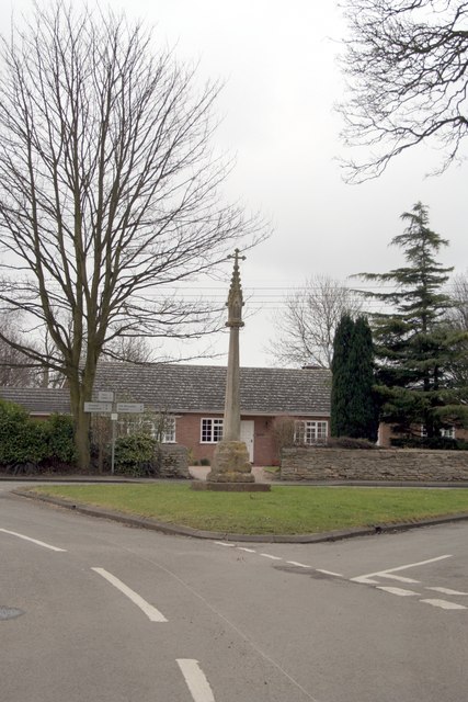
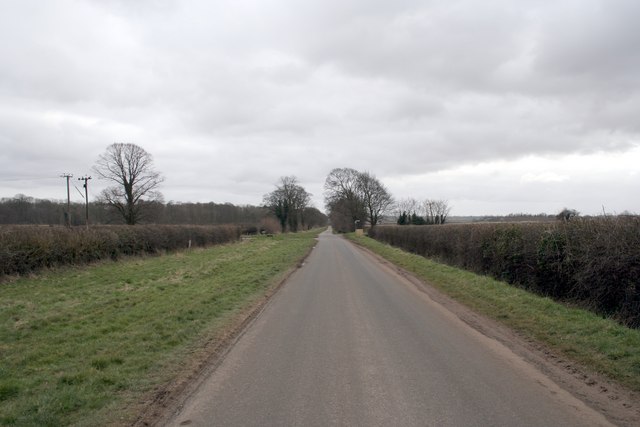
Images are sourced within 2km of 53.0013/-0.4736765 or Grid Reference TF0245. Thanks to Geograph Open Source API. All images are credited.


Hollow Belt is located at Grid Ref: TF0245 (Lat: 53.0013, Lng: -0.4736765)
Administrative County: Lincolnshire
District: North Kesteven
Police Authority: Lincolnshire
What 3 Words
///feel.choirs.dignitary. Near Cranwell, Lincolnshire
Nearby Locations
Related Wikis

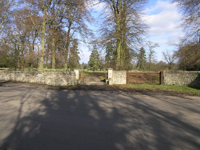
South Rauceby Hall
South Rauceby Hall, South Rauceby, Lincolnshire, England is a country house dating from the mid-19th century. It was designed by William Burn in 1842 for...

South Rauceby
South Rauceby is a village and civil parish in the North Kesteven district of Lincolnshire, England. It is situated 2.5 miles (4.0 km) west from Sleaford...

North Rauceby
North Rauceby is a village and civil parish in the North Kesteven district of Lincolnshire, England. It is situated 4 miles (6 km) north-west from Sleaford...

Rauceby railway station
Rauceby railway station is a station near the town of Sleaford, Lincolnshire, England, lying close to the western border of the Parish of Old Sleaford...

Rauceby Hospital
Rauceby Hospital, originally called Kesteven County Asylum, is a now-defunct mental institution in the parish of Quarrington, Lincolnshire, England. Originally...

No. 16 Squadron RAF
Number 16 Squadron Royal Air Force, nicknamed 'the Saints', is a flying squadron of the Royal Air Force (RAF) who currently provide elementary flying training...

Wilsford, Lincolnshire
Wilsford is a village and civil parish in the North Kesteven district of Lincolnshire, England. The population of the civil parish was 400 at the 2011...

St Botolph's Church, Quarrington
St Botolph's Church is an Anglican church in Quarrington in Lincolnshire, England. The area has been settled since at least the Anglo-Saxon period, and...
Nearby Amenities
Located within 500m of 53.0013,-0.4736765Have you been to Hollow Belt?
Leave your review of Hollow Belt below (or comments, questions and feedback).