Rauceby, South

Settlement in Lincolnshire North Kesteven

England

Rauceby, South

Grantham Road towards Sleaford
Grantham Road towards Sleaford Credit: Ian S

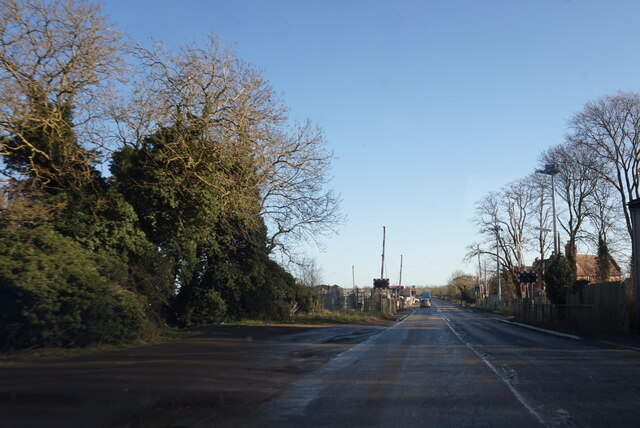
Rauceby is a small village located in South Lincolnshire, England. It is situated approximately 2 miles southeast of Sleaford and 17 miles from the city of Lincoln. The village is nestled in a predominantly rural area, surrounded by picturesque countryside and farmland.

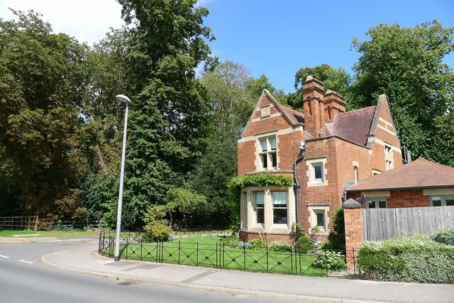
Rauceby is known for its historical significance, particularly for its association with the Rauceby Hospital, a former psychiatric institution. The hospital was established in the late 19th century and operated until its closure in 1997. Today, the site has been redeveloped into residential properties, but some of the original hospital buildings still remain, serving as a reminder of the village's past.

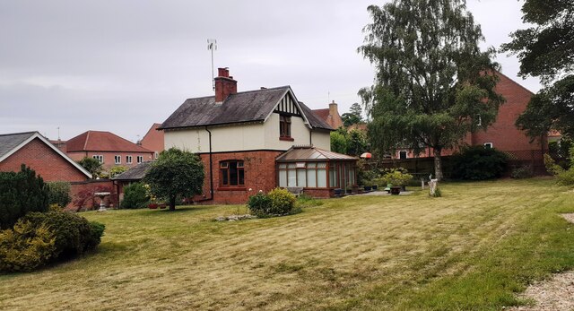
Despite its small size, Rauceby offers a range of amenities to its residents. The village boasts a primary school, providing education to local children, and there is also a community center that hosts various events and activities throughout the year. Additionally, Rauceby has a village hall, which serves as a venue for social gatherings and local functions.

The village is well-connected to surrounding areas through road links, with the A15 and A17 major roads passing nearby. This allows for easy access to nearby towns and cities, making Rauceby an attractive location for commuters.

Overall, Rauceby is a charming village with a rich history and a close-knit community. Its rural setting, combined with its convenient location, makes it an appealing place to live for those seeking a peaceful and picturesque lifestyle.

If you have any feedback on the listing, please let us know in the comments section below.

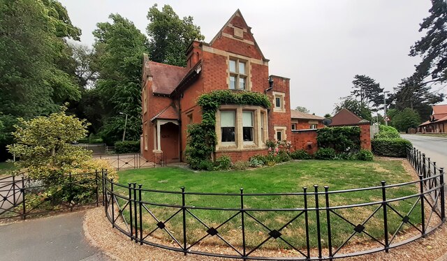
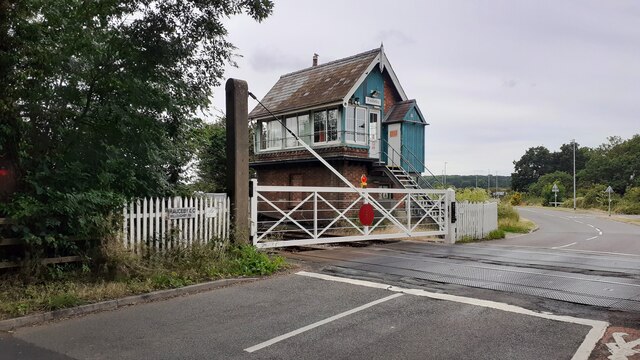
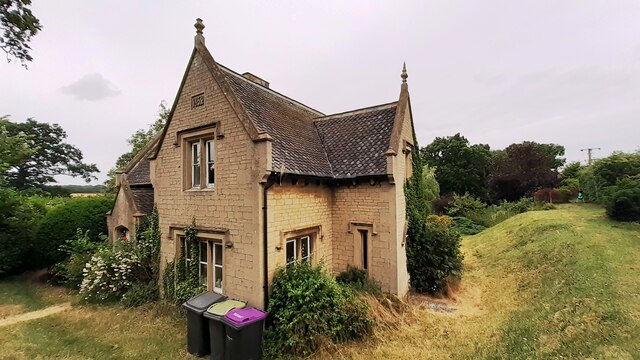
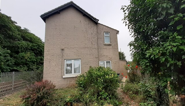
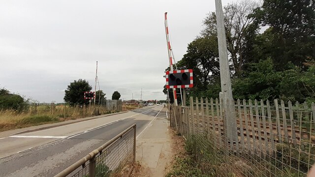
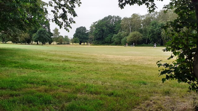
Rauceby, South Images

Images are sourced within 2km of 52.995985/-0.470339 or Grid Reference TF0245. Thanks to Geograph Open Source API. All images are credited.

Grantham Road towards Sleaford
Detached house with conservatory on north side of Willoughby Road Ordnance Survey documents indicate that a benchmark levelled at 25.330m above Newlyn Datum was verified in 1969 on a farm building (Home Farm) previously on this site, but now demolished
Detached house with conservatory on north side of Willoughby Road
Ordnance Survey documents indicate that a benchmark levelled at 25.330m above Newlyn Datum was verified in 1969 on a farm building (Home Farm) previously on this site, but now demolished
Bungalow on east side of Willoughby Road
Benchmark on West Lodge on east side of Willoughby Road Ordnance Survey cut mark benchmark levelled at 21.930m above Newlyn Datum verified 1969
Benchmark on West Lodge on east side of Willoughby Road
Ordnance Survey cut mark benchmark levelled at 21.930m above Newlyn Datum verified 1969
West Lodge at Kinross Road / Willoughby Road junction There is an Ordnance Survey benchmark <a href="https://www.geograph.org.uk/photo/7530668">TF0343 : Benchmark on West Lodge on east side of Willoughby Road</a>  on the SW corner of the lodge
West Lodge at Kinross Road / Willoughby Road junction
There is an Ordnance Survey benchmark TF0343 : Benchmark on West Lodge on east side of Willoughby Road on the SW corner of the lodge
Rauceby Signal box and Willoughby Road level crossing
Benchmark on house #53 Ordnance Survey cut mark benchmark levelled at 20.831m above Newlyn Datum in 1955 and verified in 1969
Benchmark on house #53
Ordnance Survey cut mark benchmark levelled at 20.831m above Newlyn Datum in 1955 and verified in 1969
House Nos. 52 and 53 at junction of Gantham Road and Rauceby Drove There is an Ordnance Survey benchmark <a href="https://www.geograph.org.uk/photo/7530962">TF0344 : Benchmark on house #53</a> on the near corner of the building (which has an 1852 date stone)  between the right-hand wheelie bin and the black downpipe.
House Nos. 52 and 53 at junction of Gantham Road and Rauceby Drove
There is an Ordnance Survey benchmark TF0344 : Benchmark on house #53 on the near corner of the building (which has an 1852 date stone) between the right-hand wheelie bin and the black downpipe.
Benchmark on Greylees Cottage on south side of Grantham Road Ordnance Survey cut mark benchmark levelled at 20.806m above Newlyn Datum in 1955
Benchmark on Greylees Cottage on south side of Grantham Road
Ordnance Survey cut mark benchmark levelled at 20.806m above Newlyn Datum in 1955
Greylees Cottage, former level crossing keeper's house There is an Ordnance Survey benchmark <a href="https://www.geograph.org.uk/photo/7531009">TF0444 : Benchmark on Greylees Cottage on south side of Grantham Road</a> on the right hand corner of the house
Greylees Cottage, former level crossing keeper's house
There is an Ordnance Survey benchmark TF0444 : Benchmark on Greylees Cottage on south side of Grantham Road on the right hand corner of the house
Quarrington Level Crossing for Grantham Road (A153) across railway
Sleaford Golf Course
Rauceby Station, house, level crossing and signal box
Turbostar #170201 crosses A153 on its way to Grantham at Quarrington Level Crossing
Sleaford Golf Club <span class="nowrap"><a title="https://www.sleafordgolfclub.co.uk/" rel="nofollow ugc noopener" href="https://www.sleafordgolfclub.co.uk/">Link</a><img style="margin-left:2px;" alt="External link" title="External link - shift click to open in new window" src="https://s1.geograph.org.uk/img/external.png" width="10" height="10"/></span>
Sleaford Golf Club
Lodge to the former 'Kesteven County Lunatic Asylum' Presumably of the same age as the circa 1900 asylum <span class="nowrap"><a title="https://historicengland.org.uk/listing/the-list/list-entry/1001471?section=official-list-entry" rel="nofollow ugc noopener" href="https://historicengland.org.uk/listing/the-list/list-entry/1001471?section=official-list-entry">Link</a><img style="margin-left:2px;" alt="External link" title="External link - shift click to open in new window" src="https://s1.geograph.org.uk/img/external.png" width="10" height="10"/></span>
Lodge to the former 'Kesteven County Lunatic Asylum'
Presumably of the same age as the circa 1900 asylum LinkExternal link
Rauceby Station On the Ancaster to Sleaford 'Poacher' line. Limited service.
Rauceby Station
On the Ancaster to Sleaford 'Poacher' line. Limited service.
Former entrance driveway to the  Kesteven County Lunatic Asylum
Former entrance driveway to the Kesteven County Lunatic Asylum
Show me another place!

Rauceby, South is located at Grid Ref: TF0245 (Lat: 52.995985, Lng: -0.470339)

Division: Parts of Kesteven

Administrative County: Lincolnshire

District: North Kesteven

Police Authority: Lincolnshire

What 3 Words

///lyricist.rankings.signed. Near Sleaford, Lincolnshire

Related Wikis

South Rauceby

South Rauceby is a village and civil parish in the North Kesteven district of Lincolnshire, England. It is situated 2.5 miles (4.0 km) west from Sleaford...

South Rauceby Hall

South Rauceby Hall, South Rauceby, Lincolnshire, England is a country house dating from the mid-19th century. It was designed by William Burn in 1842 for...

North Rauceby

North Rauceby is a village and civil parish in the North Kesteven district of Lincolnshire, England. It is situated 4 miles (6 km) north-west from Sleaford...

Rauceby railway station

Rauceby railway station is a station near the town of Sleaford, Lincolnshire, England, lying close to the western border of the Parish of Old Sleaford...

Nearby Amenities

Located within 500m of 52.995985,-0.470339
South Rauceby
Is In: Lincolnshire, England, UK
Place: village
Source: NPE
Lat/Long: 52.9966735/-0.4701711
Bus Stop
Cliffe View
Naptan AtcoCode: 270000008392
Naptan Bearing: NW
Naptan CommonName: Cliffe View
Naptan Indicator: adj
Naptan Landmark: Cliffe View
Naptan NaptanCode: lingpwad
Naptan Street: Rauceby Drove
Naptan Verified: no
Source: naptan_import
Lat/Long: 52.9958391/-0.470261
Bus Stop
Cliffe View
Naptan AtcoCode: 270000008393
Naptan Bearing: SE
Naptan CommonName: Cliffe View
Naptan Indicator: opp
Naptan Landmark: Cliffe View
Naptan NaptanCode: lingpwag
Naptan Street: Rauceby Drove
Naptan Verified: no
Source: naptan_import
Lat/Long: 52.9958542/-0.470037
Bus Stop
Tom Lane
Naptan AtcoCode: 270000008394
Naptan Bearing: E
Naptan CommonName: Tom Lane
Naptan Indicator: adj
Naptan Landmark: Tom Lane
Naptan NaptanCode: lingpwaj
Naptan Street: Main Street
Naptan Verified: no
Source: naptan_import
Lat/Long: 52.9978406/-0.4734984
Bus Stop
Tom Lane
Naptan AtcoCode: 2700LSRB1516
Naptan Bearing: W
Naptan CommonName: Tom Lane
Naptan Indicator: opp
Naptan Landmark: Tom Lane
Naptan NaptanCode: linamagw
Naptan Street: Main Street
Naptan Verified: no
Source: naptan_import
Lat/Long: 52.997752/-0.4736058
Rauceby Park
Place: locality
Source: Bing
Lat/Long: 52.9994152/-0.4679991
Tom Lane Hill
Place: locality
Source: Bing
Lat/Long: 52.9993203/-0.4727862
Historic Amenity: place_of_worship
Religion: christian
Lat/Long: 52.999357/-0.4712285
Telephone
Booth: K6
Covered: booth
Man Made: telephone_box
Old Phone: +44 1529 488214
Lat/Long: 52.9976952/-0.4722013
Post Box
Post Box Mounting: wooden_post
Post Box Type: lamp
Lat/Long: 52.997696/-0.4722416
The data included in this document is from www.openstreetmap.org. The data is made available under ODbL.

Have you been to Rauceby, South?

Leave your review of Rauceby, South below (or comments, questions and feedback).