Rivers's Park
Downs, Moorland in Hampshire Hart
England
Rivers's Park
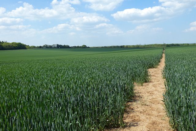
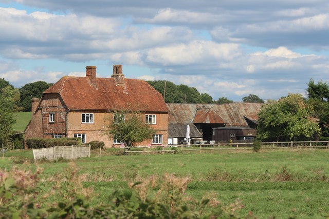
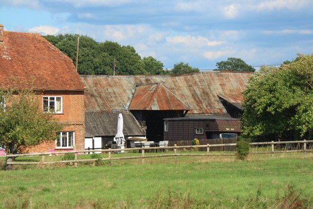
Rivers's Park is a picturesque and expansive park located in Hampshire, England. Spanning across the Downs and Moorland regions, it offers visitors a diverse and captivating natural environment to explore. The park covers a vast area of approximately 500 acres, providing ample space for various recreational activities and serene nature walks.
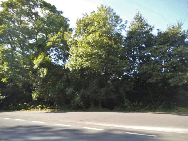
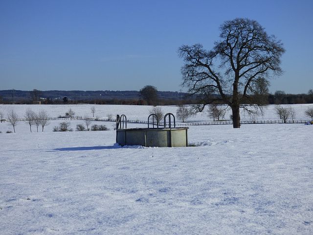
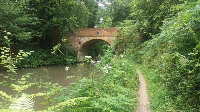
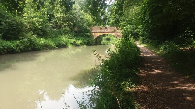
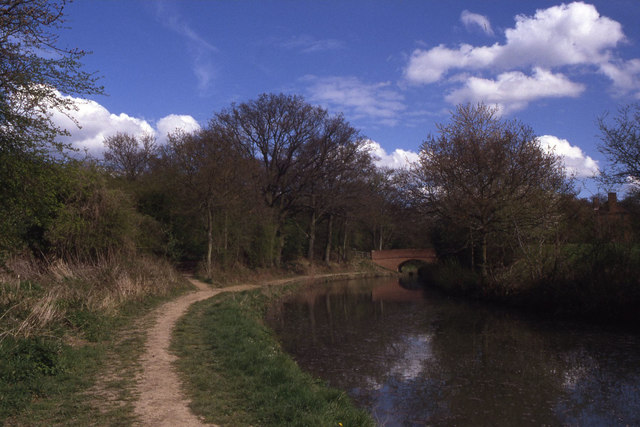
One of the standout features of Rivers's Park is its abundant rivers and streams that meander through the landscape, creating a soothing and idyllic atmosphere. These water bodies not only add to the park's aesthetic appeal but also support a rich biodiversity of flora and fauna. Visitors can often spot a variety of bird species, including herons, kingfishers, and mallards, along the riverbanks.
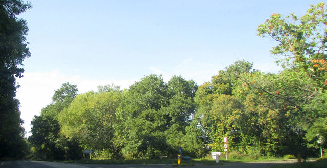
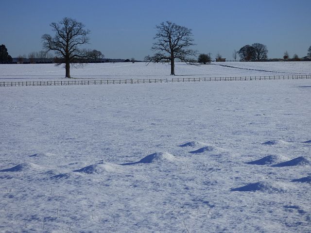
The park's expansive moorland is another highlight, featuring rolling hills and open grasslands. This area offers breathtaking panoramic views of the surrounding countryside and is a popular spot for picnics and nature photography. The moorland is also home to a diverse range of wildlife, including rabbits, foxes, and numerous species of butterflies.
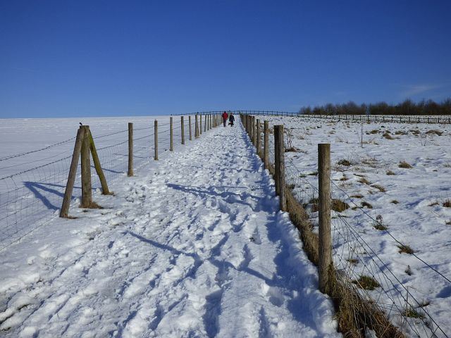
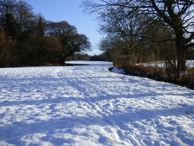
For those seeking more adventurous activities, Rivers's Park offers several walking and cycling trails that crisscross the park. These trails cater to all skill levels, from casual strollers to avid hikers, and provide an opportunity to immerse oneself in the natural beauty of the park.
Additionally, Rivers's Park has well-maintained facilities, such as picnic areas, public toilets, and car parking, making it convenient for visitors. The park is open year-round and attracts both locals and tourists who appreciate its tranquil ambiance and stunning natural scenery.
If you have any feedback on the listing, please let us know in the comments section below.
Rivers's Park Images
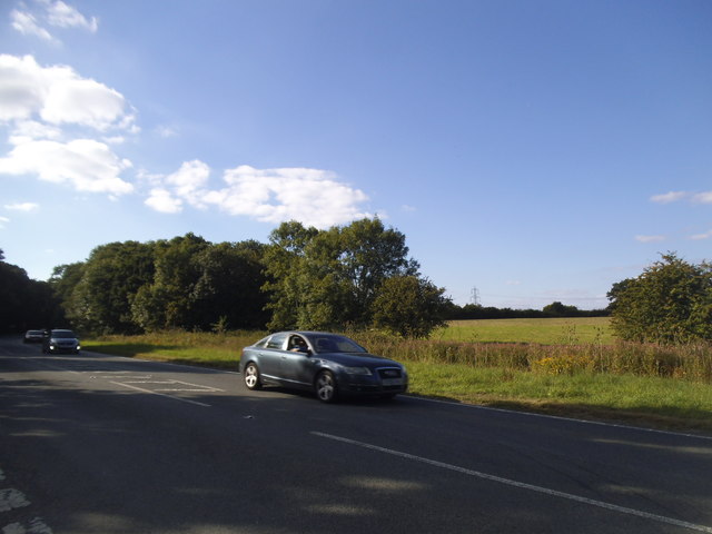
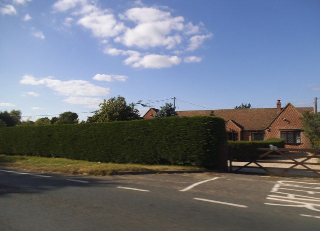
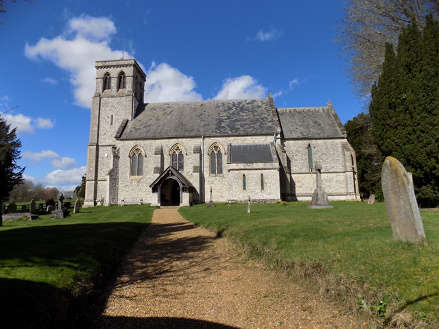
Images are sourced within 2km of 51.25347/-0.89868184 or Grid Reference SU7651. Thanks to Geograph Open Source API. All images are credited.
Rivers's Park is located at Grid Ref: SU7651 (Lat: 51.25347, Lng: -0.89868184)
Administrative County: Hampshire
District: Hart
Police Authority: Hampshire
What 3 Words
///fuels.fiction.reserving. Near Odiham, Hampshire
Nearby Locations
Related Wikis
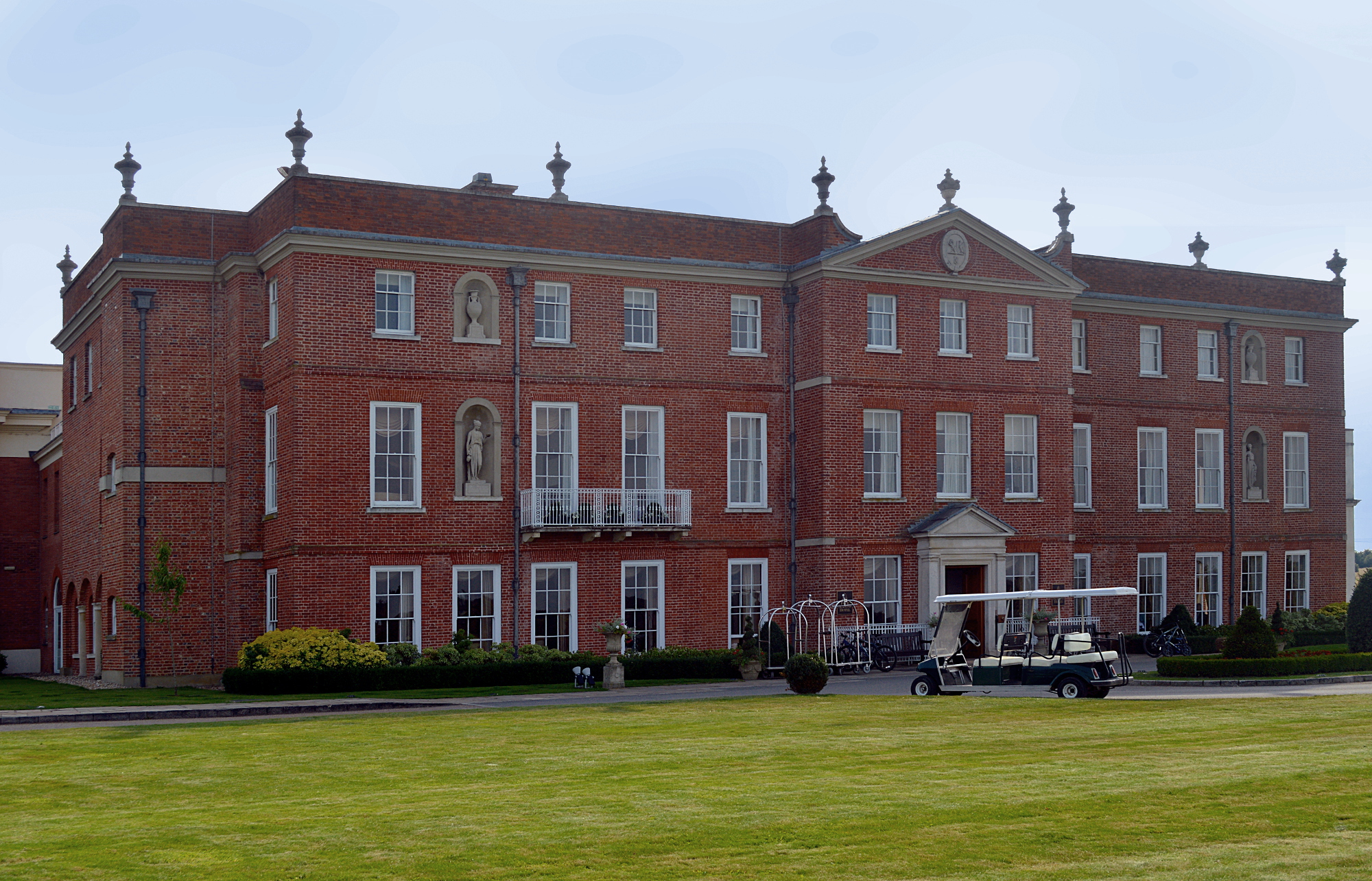
Dogmersfield Park
Dogmersfield Park or Dogmersfield House is a Grade I listed Georgian country house, now being used as a hotel. It is located in Dogmersfield, a small village...

Rye, Hampshire
Rye is a hamlet in the civil parish of Odiham, in the Hart district of Hampshire, England. The hamlet lies near the A287 road between Odiham and Farnham...

Winchfield
Winchfield is a small village in the Hart District of Hampshire in the South-East of England. It is situated 1 mile (1.6 km) south-west of Hartley Wintney...
Whitehall, Hampshire
Whitehall is a hamlet in the civil parish of Odiham in Hampshire, England. Its nearest town is Hook, approximately 3.5 miles (4.75 km) away.
Nearby Amenities
Located within 500m of 51.25347,-0.89868184Have you been to Rivers's Park?
Leave your review of Rivers's Park below (or comments, questions and feedback).