Piller's Park
Downs, Moorland in Hampshire Hart
England
Piller's Park
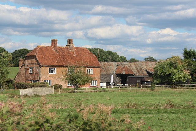
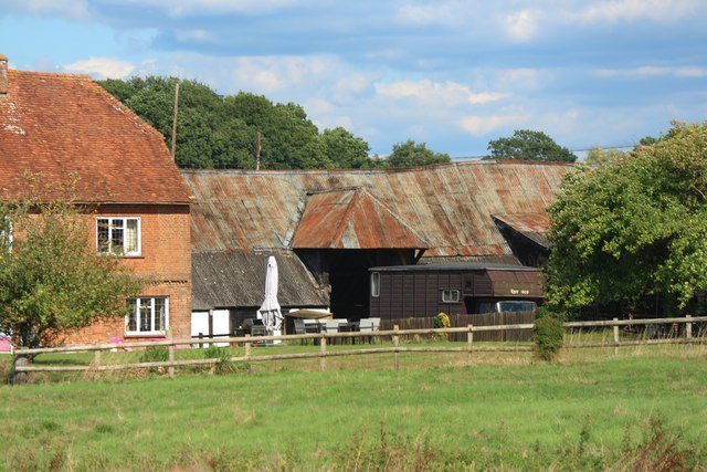
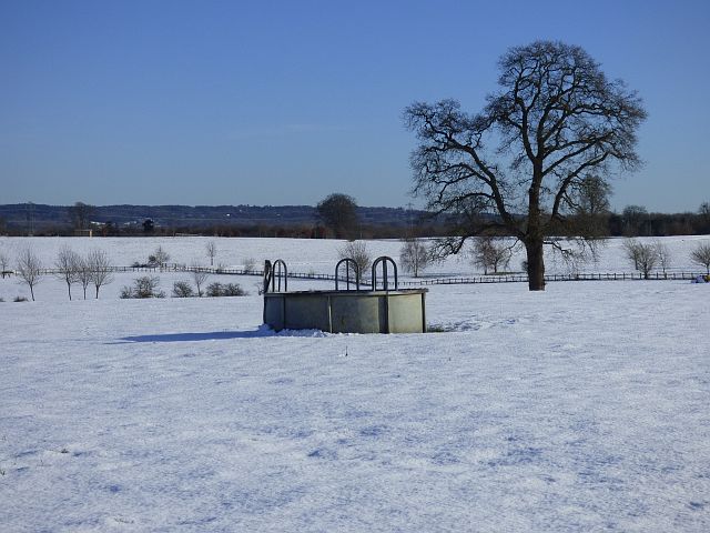
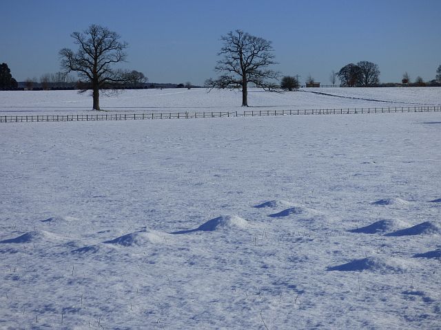
Piller's Park is a picturesque nature reserve located in Hampshire, England. It encompasses diverse landscapes, including downs and moorland, making it a haven for nature enthusiasts and outdoor adventurers alike. The park spans an area of approximately 500 acres, providing ample space for visitors to explore and admire the natural beauty that Hampshire has to offer.
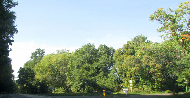
The downs in Piller's Park are characterized by rolling hills covered in lush green grasses, providing a stunning backdrop for leisurely walks and picnics. The area is home to a variety of plants and wildflowers, creating a vibrant and colorful display throughout the seasons. Visitors can also spot several species of birds that inhabit the downs, making it a popular spot for birdwatching.
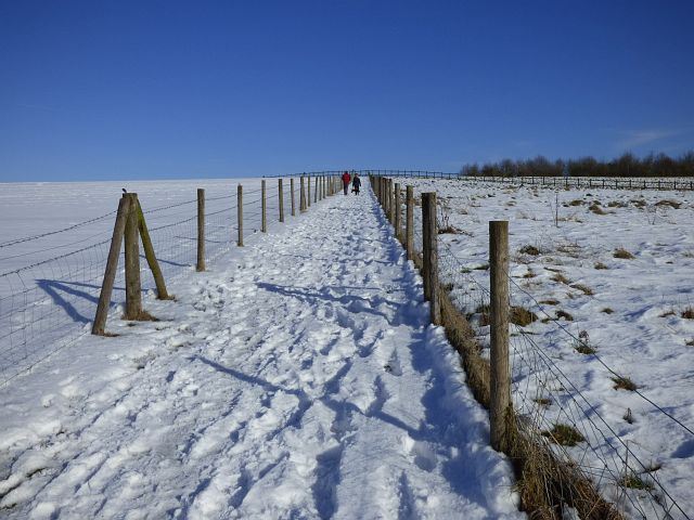
The moorland section of the park offers a completely different landscape, with open expanses of heather and gorse. This rugged terrain provides a unique habitat for wildlife such as deer, rabbits, and various bird species. The moorland is crisscrossed by walking trails, allowing visitors to immerse themselves in the tranquil surroundings while enjoying a peaceful hike.
Piller's Park is well-maintained, with designated paths and picnic areas for visitors to enjoy. It also offers panoramic views of the surrounding countryside, allowing visitors to appreciate the beauty of Hampshire from various vantage points.
Whether it's a leisurely stroll through the downs or an adventurous hike across the moorland, Piller's Park offers a tranquil and picturesque escape for nature lovers seeking to reconnect with the great outdoors.
If you have any feedback on the listing, please let us know in the comments section below.
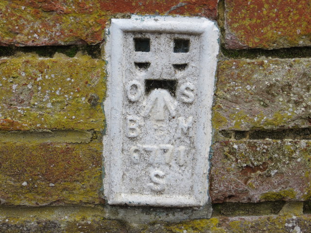
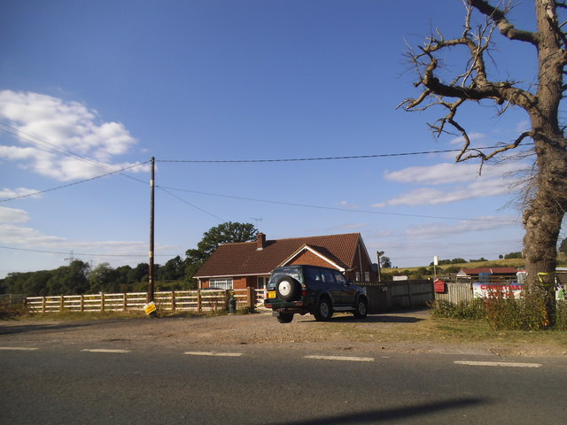
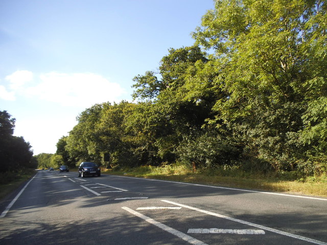
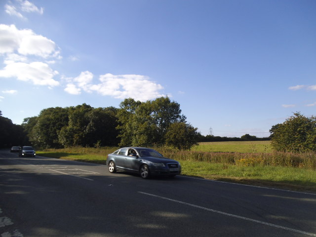
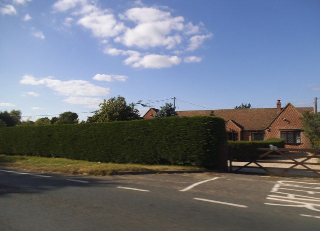
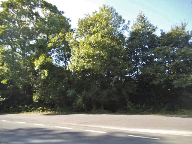
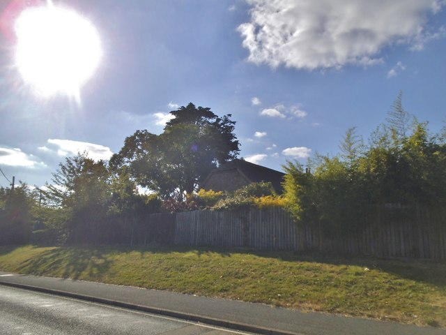
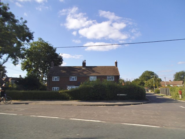
Piller's Park Images
Images are sourced within 2km of 51.261263/-0.90892932 or Grid Reference SU7651. Thanks to Geograph Open Source API. All images are credited.


Piller's Park is located at Grid Ref: SU7651 (Lat: 51.261263, Lng: -0.90892932)
Administrative County: Hampshire
District: Hart
Police Authority: Hampshire
What 3 Words
///centrally.trail.energetic. Near Odiham, Hampshire
Nearby Locations
Related Wikis
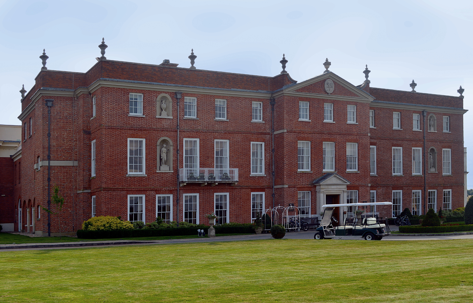
Dogmersfield Park
Dogmersfield Park or Dogmersfield House is a Grade I listed Georgian country house, now being used as a hotel. It is located in Dogmersfield, a small village...

Winchfield
Winchfield is a small village in the Hart District of Hampshire in the South-East of England. It is situated 1 mile (1.6 km) south-west of Hartley Wintney...

Whitehall, Hampshire
Whitehall is a hamlet in the civil parish of Odiham in Hampshire, England. Its nearest town is Hook, approximately 3.5 miles (4.75 km) away.
Rye, Hampshire
Rye is a hamlet in the civil parish of Odiham, in the Hart district of Hampshire, England. The hamlet lies near the A287 road between Odiham and Farnham...
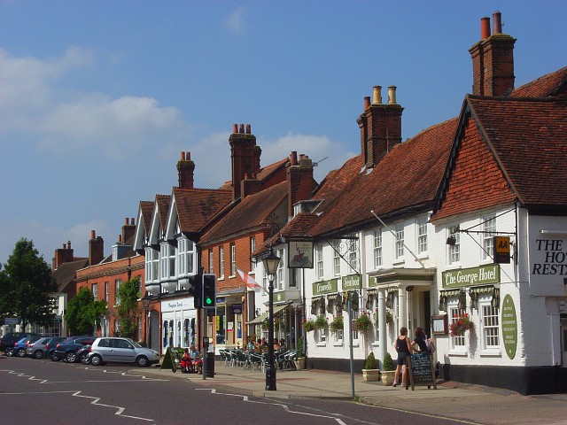
Odiham
Odiham () is a large historic village and civil parish in the Hart district of Hampshire, England. It is twinned with Sourdeval in the Manche Department...

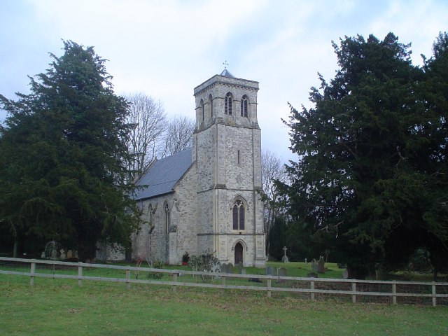
All Saints Church, Odiham
All Saints Church is an Anglican church in the village of Odiham, Hampshire. It is situated near to Odiham's high street, 10 miles (15.2 km) away from...
Dogmersfield
Dogmersfield is a small village lying between the towns of Fleet and Hartley Wintney in Hampshire, England. The M3 motorway and railway stations at Fleet...
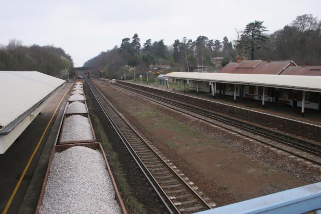
Winchfield railway station
Winchfield railway station is located in the small village of Winchfield and also serves Hartley Wintney and surrounding villages and towns such as Odiham...
Nearby Amenities
Located within 500m of 51.261263,-0.90892932Have you been to Piller's Park?
Leave your review of Piller's Park below (or comments, questions and feedback).