Dogmersfield Park

Downs, Moorland in Hampshire Hart

England

Dogmersfield Park

Farmland, Odiham A bridleway takes a straight line (rather than the rather wiggly official one) as it crosses a field of wheat.
Farmland, Odiham Credit: Andrew Smith

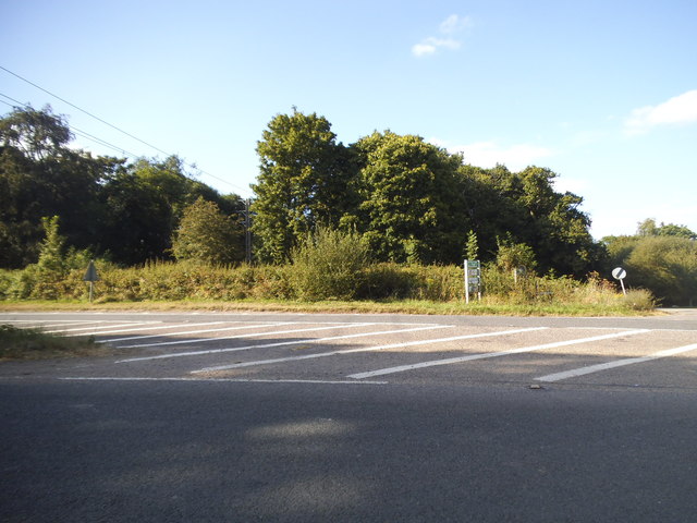
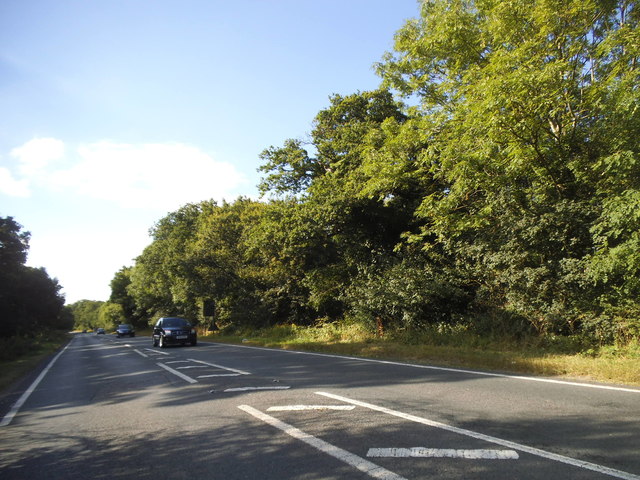
Dogmersfield Park is a picturesque estate located in Hampshire, England. Situated amidst the stunning countryside, it encompasses vast expanses of downs and moorland, offering a serene and idyllic setting. The park spans over a significant area, showcasing the natural beauty of the region.

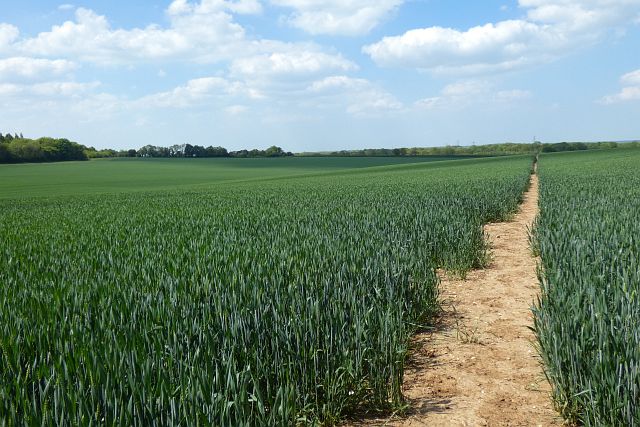
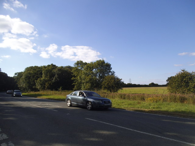
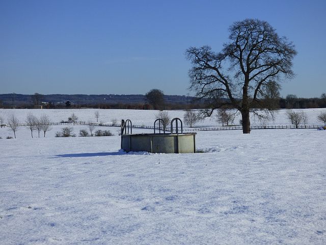
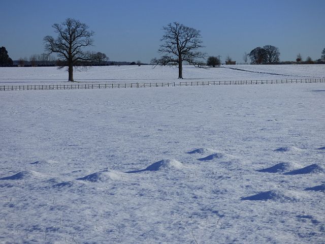
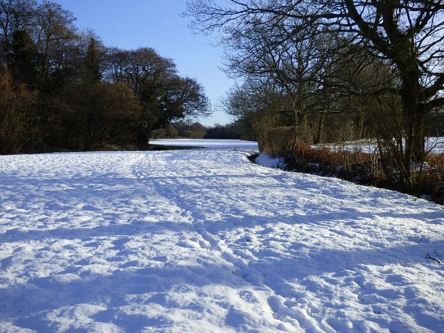
The downs of Dogmersfield Park are characterized by rolling hills and lush green meadows. The landscape is dotted with vibrant wildflowers, creating a colorful spectacle during the spring and summer months. Visitors can enjoy leisurely walks or hikes, taking in the panoramic views of the surrounding countryside.

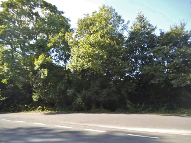
The moorland within the park is a diverse habitat, providing a home to a variety of wildlife. It is a haven for birdwatchers, as numerous species can be spotted here, including kestrels, buzzards, and skylarks. The moorland also features dense vegetation, such as heather and gorse, adding to its natural charm.

Dogmersfield Park offers a tranquil escape from the hustle and bustle of everyday life. The peaceful atmosphere makes it an ideal destination for picnics, family outings, or simply unwinding in nature. The park provides ample space for recreational activities, with designated areas for sports like cricket or football.

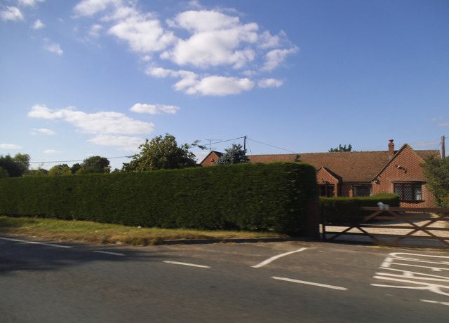
Furthermore, the estate boasts a rich history, with some parts dating back to the 16th century. It has been meticulously maintained over the years, preserving its heritage and ensuring its continued beauty. Dogmersfield Park is a true gem of Hampshire, offering visitors a chance to immerse themselves in the enchanting English countryside.

If you have any feedback on the listing, please let us know in the comments section below.

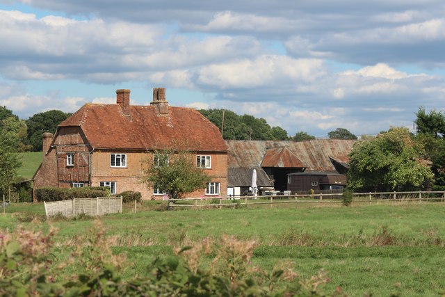
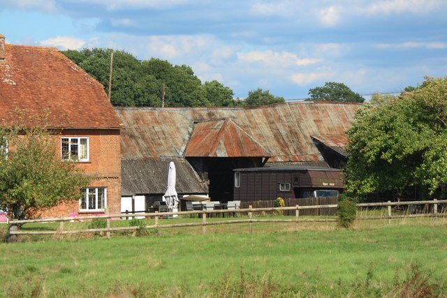
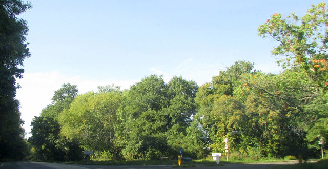
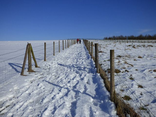
Dogmersfield Park Images

Images are sourced within 2km of 51.257147/-0.90054297 or Grid Reference SU7651. Thanks to Geograph Open Source API. All images are credited.

Farmland, Odiham A bridleway takes a straight line (rather than the rather wiggly official one) as it crosses a field of wheat.
Farmland, Odiham
A bridleway takes a straight line (rather than the rather wiggly official one) as it crosses a field of wheat.
Farnham Road by Rye Common
Little house on the prairie Farnham Road east of Odiham
Little house on the prairie
Farnham Road east of Odiham
Farnham Road by Rye Common
House on Farnham Road, Odiham
Woodland by Farnham Road, Odiham At the entrance to the parking area
Woodland by Farnham Road, Odiham
At the entrance to the parking area
Dogmersfield:  All Saints Church The Parish Church.
Dogmersfield: All Saints Church
The Parish Church.
Bullocks Farm, Hillside Road
View to barn at Bullocks Farm -
View to barn at Bullocks Farm
-
Junction on A287 The Chalky Lane junction is also shown in <a href="https://www.geograph.org.uk/photo/3126272">SU7750 : A287/Chalky Lane junction</a> and, from the other direction, in <a href="https://www.geograph.org.uk/photo/4049144">SU7750 : A287 junction with Chalky Lane</a>.
Junction on A287
The Chalky Lane junction is also shown in SU7750 : A287/Chalky Lane junction and, from the other direction, in SU7750 : A287 junction with Chalky Lane.
Footpath and pasture, Dogmersfield The footpath is confined between fences as it enters Dogmersfield Park from the west.
Footpath and pasture, Dogmersfield
The footpath is confined between fences as it enters Dogmersfield Park from the west.
Parkland, Dogmersfield A view from one of the footpaths across Dogmersfield Park.
Parkland, Dogmersfield
A view from one of the footpaths across Dogmersfield Park.
Parkland, Dogmersfield Dogmersfield Park is now enjoyed by the guests of a Four Seasons hotel.
Parkland, Dogmersfield
Dogmersfield Park is now enjoyed by the guests of a Four Seasons hotel.
Farmland, Dogmersfield A narrow field beside Whitlow Alders stretches towards the canal from the footpath to the south of Ormersfield Farm.
Farmland, Dogmersfield
A narrow field beside Whitlow Alders stretches towards the canal from the footpath to the south of Ormersfield Farm.
A287 bridge, Basingstoke Canal A late bridge, as canal bridges go, for a bypass of Odiham and North Warnborough.
A287 bridge, Basingstoke Canal
A late bridge, as canal bridges go, for a bypass of Odiham and North Warnborough.
Stacey's Bridge Stacey's Bridge on the Basingstoke Canal
Stacey's Bridge
Stacey's Bridge on the Basingstoke Canal
Sandy Hill Bridge Sandy Hill Bridge Basingstoke Canal
Sandy Hill Bridge
Sandy Hill Bridge Basingstoke Canal
Show me another place!

Dogmersfield Park is located at Grid Ref: SU7651 (Lat: 51.257147, Lng: -0.90054297)

Administrative County: Hampshire

District: Hart

Police Authority: Hampshire

What 3 Words

///adopters.jetliner.short. Near Odiham, Hampshire

Related Wikis

Dogmersfield Park

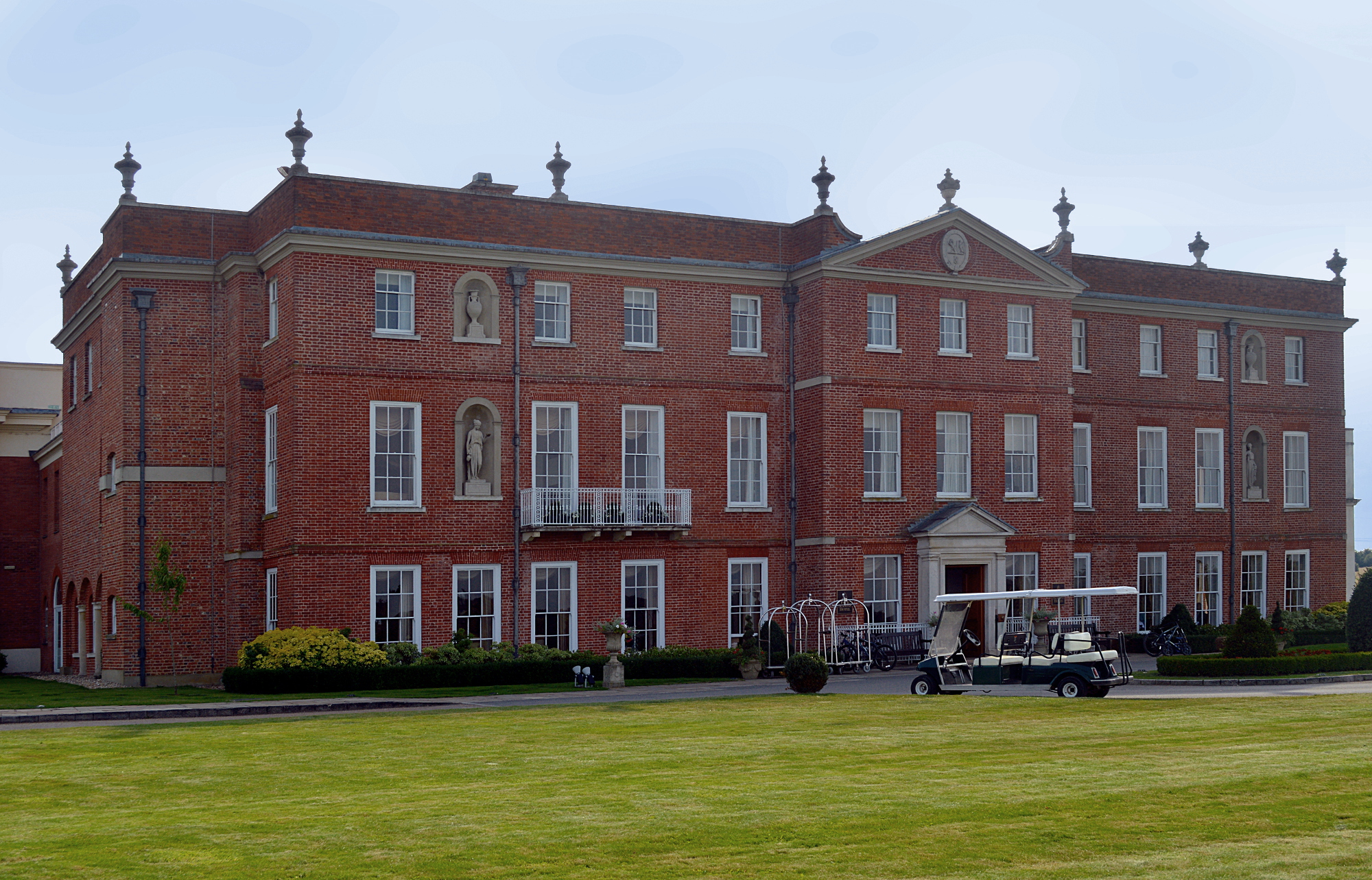
Dogmersfield Park or Dogmersfield House is a Grade I listed Georgian country house, now being used as a hotel. It is located in Dogmersfield, a small village...

Rye, Hampshire

Rye is a hamlet in the civil parish of Odiham, in the Hart district of Hampshire, England. The hamlet lies near the A287 road between Odiham and Farnham...

Winchfield

Winchfield is a small village in the Hart District of Hampshire in the South-East of England. It is situated 1 mile (1.6 km) south-west of Hartley Wintney...

Whitehall, Hampshire

Whitehall is a hamlet in the civil parish of Odiham in Hampshire, England. Its nearest town is Hook, approximately 3.5 miles (4.75 km) away.

Nearby Amenities

Located within 500m of 51.257147,-0.90054297
Four Seasons
Tourism: hotel
Lat/Long: 51.2581078/-0.8963291
Power: tower
Source: bing
Lat/Long: 51.254892/-0.8994213
Power: tower
Source: bing
Lat/Long: 51.256596/-0.9045948
Material: wood
Power: pole
Lat/Long: 51.2540216/-0.8960619
Material: wood
Power: pole
Lat/Long: 51.254114/-0.8959761
Material: wood
Power: pole
Lat/Long: 51.254354/-0.8970061
Material: wood
Power: pole
Lat/Long: 51.2550079/-0.8989265
Material: wood
Power: pole
Lat/Long: 51.2555954/-0.9007397
Material: wood
Power: pole
Lat/Long: 51.2563021/-0.9028962
Material: wood
Power: pole
Lat/Long: 51.256846/-0.9044787
Material: wood
Power: pole
Lat/Long: 51.2573982/-0.9062114
Material: wood
Power: pole
Lat/Long: 51.2578053/-0.9074318
The data included in this document is from www.openstreetmap.org. The data is made available under ODbL.

Have you been to Dogmersfield Park?

Leave your review of Dogmersfield Park below (or comments, questions and feedback).