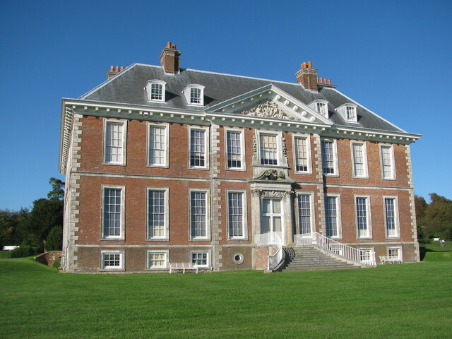
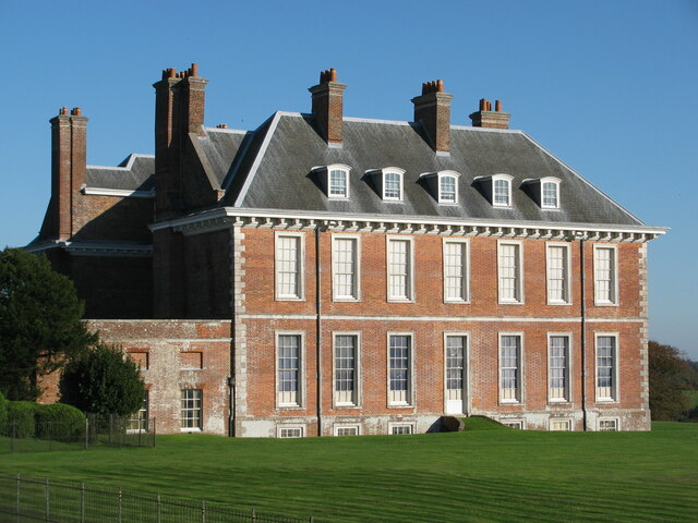
Compton Park

Downs, Moorland in Sussex Chichester

England

Compton Park

Harvesting near Compton The combine harvester is tackling a long narrow field between woodland with a very irregular margin and a lane. This apparently means a proportion of the time is spent not harvesting but moving on to a new bit, as here.
Harvesting near Compton Credit: Robin Webster

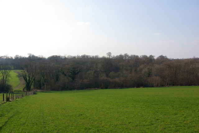
Compton Park, located in the picturesque county of Sussex, England, is a stunning natural landscape that encompasses the Downs and Moorland areas. Spanning over several hundred acres, this park offers visitors a diverse range of beautiful scenery and outdoor activities.

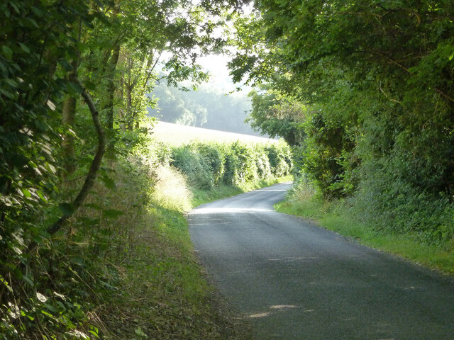
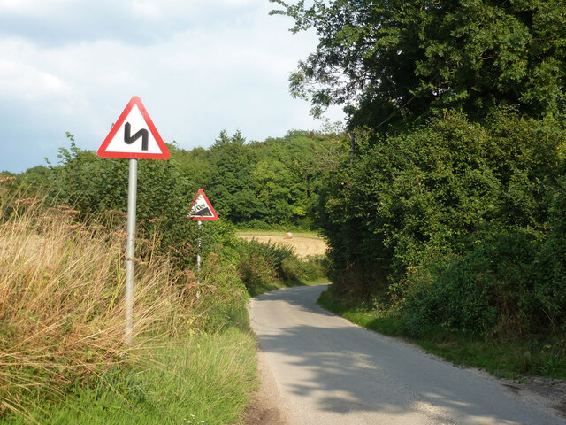
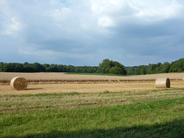
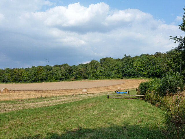
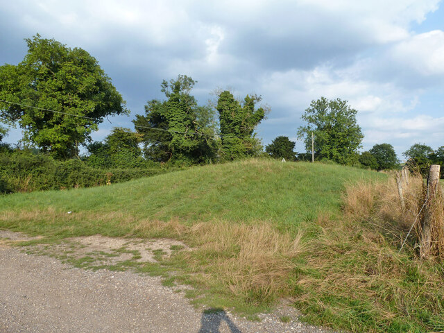
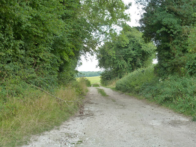
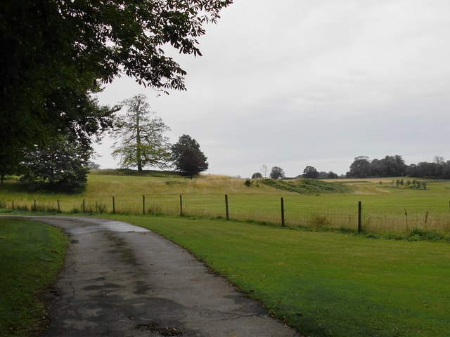
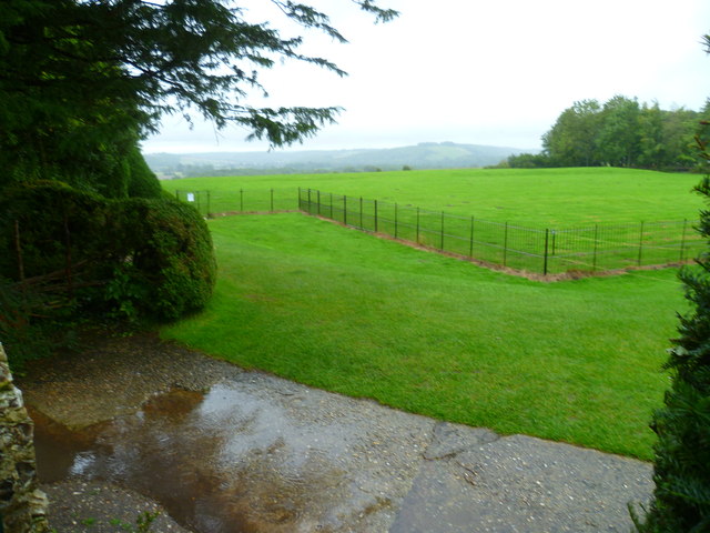
The Downs portion of Compton Park is characterized by its rolling hills, lush green meadows, and breathtaking views of the surrounding countryside. Walking trails meander through the landscape, providing visitors with the opportunity to explore the area's natural beauty at their own pace. The Downs are also home to a variety of wildlife, including rabbits, foxes, and an array of bird species, making it a popular spot for nature enthusiasts and birdwatchers.

On the other hand, the Moorland section of the park offers a completely different atmosphere. Here, visitors can immerse themselves in the rugged beauty of the moorlands, characterized by expansive open spaces, heather-covered hills, and scattered clumps of trees. The moorland attracts hikers and photographers who are captivated by its unique flora and fauna, including wild ponies and rare plant species.

Compton Park provides ample opportunities for outdoor activities such as picnicking, horseback riding, and cycling. It also features designated areas for camping and barbecues, allowing visitors to extend their stay and fully immerse themselves in the natural surroundings.

Overall, Compton Park in Sussex is a haven for those seeking a tranquil escape from the bustle of everyday life. Whether exploring the charming Downs or venturing into the untamed Moorland, visitors are sure to be enchanted by the park's diverse landscapes and abundant natural wonders.

If you have any feedback on the listing, please let us know in the comments section below.
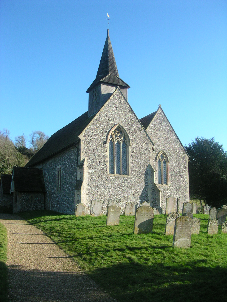
Compton Park Images

Images are sourced within 2km of 50.937089/-0.90635582 or Grid Reference SU7615. Thanks to Geograph Open Source API. All images are credited.

Harvesting near Compton The combine harvester is tackling a long narrow field between woodland with a very irregular margin and a lane. This apparently means a proportion of the time is spent not harvesting but moving on to a new bit, as here.
Harvesting near Compton
The combine harvester is tackling a long narrow field between woodland with a very irregular margin and a lane. This apparently means a proportion of the time is spent not harvesting but moving on to a new bit, as here.
Compton Down Road Heading west.
Compton Down Road
Heading west.
Compton Down Road Heading east.
Compton Down Road
Heading east.
Compton Down Road Heading east.
Compton Down Road
Heading east.
Fernbeds Lane Towards the Mardens.
Fernbeds Lane
Towards the Mardens.
Partly harvested field North of Fernbeds Lane.
Partly harvested field
North of Fernbeds Lane.
Partly harvested field There is a jumping track around the edge.
Partly harvested field
There is a jumping track around the edge.
Bevis's Thumb A Neolithic (3000 - 2400 BC) long barrow. A scheduled ancient monument.
Bevis's Thumb
A Neolithic (3000 - 2400 BC) long barrow. A scheduled ancient monument.
Bridleway 3008 Towards Harting Downs.
Bridleway 3008
Towards Harting Downs.
Uppark: at twilight
Uppark: at twilight
Compton Village Stores Some distance from any town.
Compton Village Stores
Some distance from any town.
Uppark restored The house restored to its former glory following the devastating fire.
Uppark restored
The house restored to its former glory following the devastating fire.
Uppark House One of the National Trust's properties within the South Downs National Park. The mother of H G Wells worked here 'below stairs'.
Uppark House
One of the National Trust's properties within the South Downs National Park. The mother of H G Wells worked here 'below stairs'.
View near Deerkeepers The roadway is a drive leading to Deerkeepers - presumably a private residence.  Jonathan Billinger had stood on much the same spot before me: <a href="https://www.geograph.org.uk/photo/351232">SU7716 : Road to Deerkeepers</a> - though at a time of year when the trees were bare.  Photo taken on a rather dismal August evening,
View near Deerkeepers
The roadway is a drive leading to Deerkeepers - presumably a private residence. Jonathan Billinger had stood on much the same spot before me: SU7716 : Road to Deerkeepers - though at a time of year when the trees were bare. Photo taken on a rather dismal August evening,
The village shop, Compton
View towards the Isle of Wight from Uppark Apparently the island is visible in good weather.
View towards the Isle of Wight from Uppark
Apparently the island is visible in good weather.
St Mary, Compton: gravestone (A) Also see <span class="nowrap"><a title="http://www.cwgc.org/find-war-dead/casualty/2723078/TREAGUS,%20THOMAS%20FRANK" rel="nofollow ugc noopener" href="http://www.cwgc.org/find-war-dead/casualty/2723078/TREAGUS,%20THOMAS%20FRANK">Link</a><img style="margin-left:2px;" alt="External link" title="External link - shift click to open in new window" src="https://s1.geograph.org.uk/img/external.png" width="10" height="10"/></span>
St Mary, Compton: gravestone (A)
Also see LinkExternal link
St Mary, Compton: gravestone (B) Also see <span class="nowrap"><a title="https://en.wikipedia.org/wiki/John_Lambton,_5th_Earl_of_Durham" rel="nofollow ugc noopener" href="https://en.wikipedia.org/wiki/John_Lambton,_5th_Earl_of_Durham">Link</a><img style="margin-left:2px;" alt="External link" title="External link - shift click to open in new window" src="https://s1.geograph.org.uk/img/external.png" width="10" height="10"/></span>
St Mary, Compton: gravestone (B)
Also see LinkExternal link
Show me another place!

Compton Park is located at Grid Ref: SU7615 (Lat: 50.937089, Lng: -0.90635582)

Administrative County: West Sussex

District: Chichester

Police Authority: Sussex

What 3 Words

///brief.fluffed.haggis. Near South Harting, West Sussex

Nearby Locations

Compton Park

Related Wikis

Compton Down, Compton

Compton Down is an extent of high ground near Compton, West Sussex where there was an Admiralty semaphore station. The semaphore station was built at...

Compton, West Sussex

Compton is a village and civil parish in the Chichester district of West Sussex. The village lies on the B2146 road, six miles (9.7 km) southeast of Petersfield...

Pads Wood

Pads Wood is a 22.2-hectare (55-acre) biological Site of Special Scientific Interest west of Midhurst in West Sussex.This ancient coppiced wood is mainly...
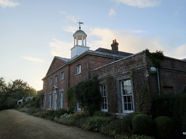
Uppark

Uppark is a 17th-century house in South Harting, West Sussex, England. It is a Grade I listed building and a National Trust property. == History == The...

Nearby Amenities

Located within 500m of 50.937089,-0.90635582
Barrier: stile
Lat/Long: 50.9337767/-0.9090526
Hucksholt Farm
Landuse: farmland
Note Retag: CS #48756035
Residence: farm
Lat/Long: 50.9409074/-0.9043723
Bus Stop
Littlegreen School
Bus: yes
Naptan AtcoCode: 4400CH0454
Naptan Bearing: E
Naptan CommonName: Littlegreen School
Naptan Indicator: opp. Littlegreen School
Naptan Landmark: Littlegreen School
Naptan NaptanCode: wsxajdpg
Naptan Street: B2146
Naptan Verified: no
Public Transport: platform
Source: naptan_import
Lat/Long: 50.936327/-0.9055688
Bus Stop
Littlegreen School
Bus: yes
Naptan AtcoCode: 4400CH0455
Naptan Bearing: S
Naptan CommonName: Littlegreen School
Naptan Indicator: o/s Littlegreen School
Naptan Landmark: Littlegreen School
Naptan NaptanCode: wsxajdpj
Naptan Street: B2146
Naptan Verified: no
Public Transport: platform
Source: naptan_import
Lat/Long: 50.9362973/-0.9052706
Barrier: stile
Lat/Long: 50.9361362/-0.8998945
Barrier: stile
Lat/Long: 50.9362514/-0.8998701
Post Box
Collection Times: Mo-Fr 09:00; Sa 07:00
Note: This postbox is of a brand new EIIR design.
Note 1: From 26th August 2019 the last collection times became 9am Mon-Fri and 7am Sat.
Operator: Royal Mail
Post Box Type: lamp
Ref: PO18 135
Royal Cypher: EIIR
Royal Cypher Wikidata: Q33102113
Lat/Long: 50.936237/-0.9053294
The data included in this document is from www.openstreetmap.org. The data is made available under ODbL.

Have you been to Compton Park?

Leave your review of Compton Park below (or comments, questions and feedback).