Goose Common

Downs, Moorland in Oxfordshire South Oxfordshire

England

Goose Common

A4130 at Gangsdown Hill
A4130 at Gangsdown Hill Credit: Colin Pyle

Goose Common is a picturesque area located in Oxfordshire, England. Situated amidst the stunning natural beauty of the Downs and Moorland, it offers a serene and idyllic setting for visitors and locals alike.

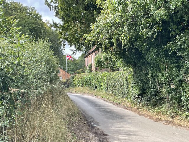
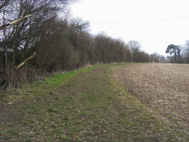
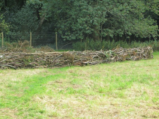
Covering an expansive area, Goose Common is characterized by its rolling hills, lush green meadows, and diverse flora and fauna. The landscape is dotted with picturesque villages and charming cottages, which add to the area's rustic charm. The common is known for its open spaces, providing ample opportunities for outdoor activities such as walking, hiking, and picnicking.

The Downs of Goose Common are particularly notable for their panoramic views, providing a breathtaking vista of the surrounding countryside. The moorland, on the other hand, offers a unique ecosystem with its heather-covered hills and peat bogs, attracting a variety of bird species and wildlife.

The area is also steeped in history, with evidence of human habitation dating back centuries. Visitors can explore ancient burial mounds, stone circles, and remnants of Iron Age settlements, giving them a glimpse into the area's rich past.

Goose Common is well-connected, with easy access to nearby towns and cities. It offers a peaceful retreat from the hustle and bustle of urban life, making it a popular destination for nature lovers, photographers, and those seeking a tranquil escape.

In conclusion, Goose Common in Oxfordshire is a captivating landscape encompassing the beauty of the Downs and Moorland. With its stunning vistas, diverse wildlife, and rich history, it is an area that truly captivates the imagination and offers a peaceful sanctuary for all who visit.

If you have any feedback on the listing, please let us know in the comments section below.
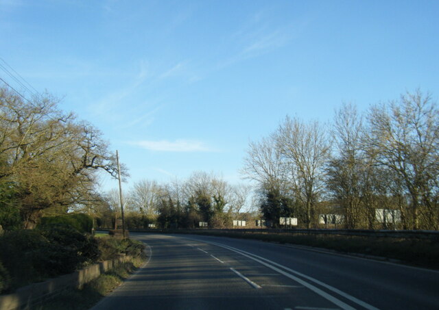
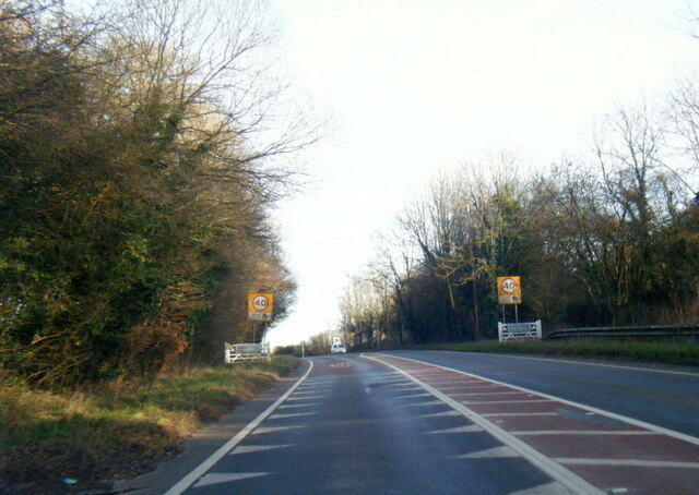
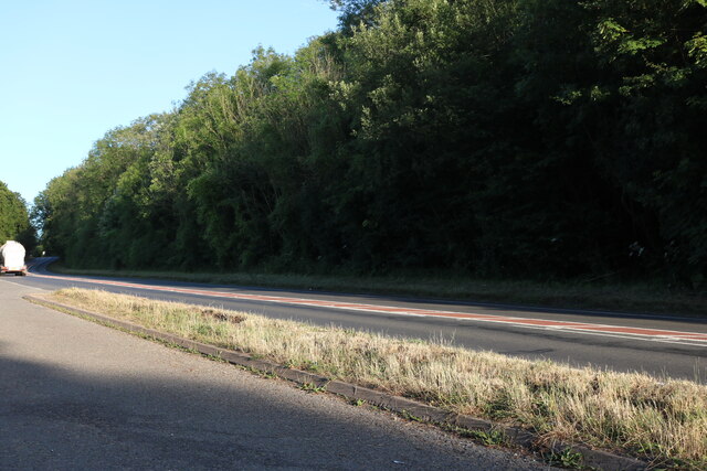
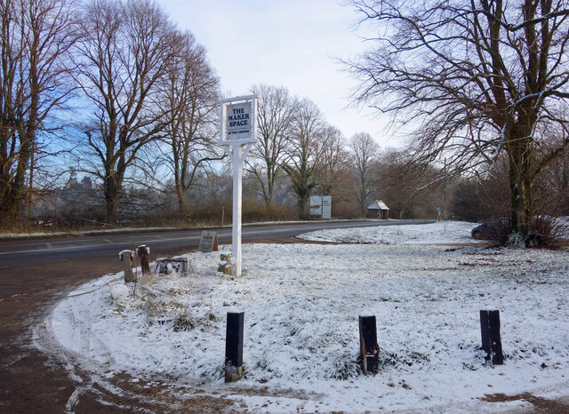
Goose Common Images

Images are sourced within 2km of 51.584365/-1.0302292 or Grid Reference SU6787. Thanks to Geograph Open Source API. All images are credited.

A4130 at Gangsdown Hill
A4130 at Nuffield village boundary
Layby on Gangsdown Hill west on Nettlebed
Light Snow at The Maker Space The Crown at Nuffield was a lovely traditional pub in the Brakspears of Henley estate, but like so many country pubs these days couldn't keep going. It was closed for a long time <a href="https://www.geograph.org.uk/photo/5583827">SU6787 : The Crown closed inn beside the A4130</a> but happily is now open again as The Maker Space (at The Crown) aiming more at the coffee, cake and light meals market, and also as a craft centre.
Light Snow at The Maker Space
The Crown at Nuffield was a lovely traditional pub in the Brakspears of Henley estate, but like so many country pubs these days couldn't keep going. It was closed for a long time SU6787 : The Crown closed inn beside the A4130 but happily is now open again as The Maker Space (at The Crown) aiming more at the coffee, cake and light meals market, and also as a craft centre.
Digberry Farm, Huntercombe Lane The farm sits within a large square earthwork of unknown age measuring 200 metres across.
Digberry Farm, Huntercombe Lane
The farm sits within a large square earthwork of unknown age measuring 200 metres across.
The Ridgeway The Ridgeway by Straights Plantation heading to Ewelme Park
The Ridgeway
The Ridgeway by Straights Plantation heading to Ewelme Park
Hedge Laying There may well have been a competition or exhibition on how to do this at Nuffield Place some time.
Hedge Laying
There may well have been a competition or exhibition on how to do this at Nuffield Place some time.
Couple of Sheds No doubt built the same time as the house at Nuffield Place <a href="https://www.geograph.org.uk/photo/4811296">SU6787 : Plaque by the Shed</a>
Couple of Sheds
No doubt built the same time as the house at Nuffield Place SU6787 : Plaque by the Shed
Plaque by the Shed The plaque was presented to the Radcliffe Maternity Home by Lord Nuffield in 1931, no doubt rescued from the former site after it was sold.
Plaque by the Shed
The plaque was presented to the Radcliffe Maternity Home by Lord Nuffield in 1931, no doubt rescued from the former site after it was sold.
Lady Nuffield Car A wonderful old Wolseley in the garage at Nuffield Place
Lady Nuffield Car
A wonderful old Wolseley in the garage at Nuffield Place
Posters in the Garage 1 Some of the period posters in the garage at Nuffield Place
Posters in the Garage 1
Some of the period posters in the garage at Nuffield Place
Posters in the Garage 2 Some period posters in the garage at Nuffield Place
Posters in the Garage 2
Some period posters in the garage at Nuffield Place
Picnic Time Picnic hamper all packed in the back of Lady Nuffield's car at Nuffield Place
Picnic Time
Picnic hamper all packed in the back of Lady Nuffield's car at Nuffield Place
Garage at Nuffield Place The garage at Nuffield Place where Lady Nuffield kept her car
Garage at Nuffield Place
The garage at Nuffield Place where Lady Nuffield kept her car
Morris Morris Ten Four on show at Nuffield Place by one of the National Trust members
Morris
Morris Ten Four on show at Nuffield Place by one of the National Trust members
Ten Four Gauge The heater gauge on the Morris Ten Four at Nuffield Place <a href="https://www.geograph.org.uk/photo/4811424">SU6787 : Morris</a>
Ten Four Gauge
The heater gauge on the Morris Ten Four at Nuffield Place SU6787 : Morris
Bike in the Porch Not sure if this was a scullery at Nuffield Place but was the start of the tour round the house, the bike is leant against the wall. I could not say if it was one of Lord Nuffield's early bikes.
Bike in the Porch
Not sure if this was a scullery at Nuffield Place but was the start of the tour round the house, the bike is leant against the wall. I could not say if it was one of Lord Nuffield's early bikes.
Sitting Room at Nuffield Place One of the sitting rooms at Nuffield Place
Sitting Room at Nuffield Place
One of the sitting rooms at Nuffield Place
Show me another place!

Goose Common is located at Grid Ref: SU6787 (Lat: 51.584365, Lng: -1.0302292)

Administrative County: Oxfordshire

District: South Oxfordshire

Police Authority: Thames Valley

What 3 Words

///exist.inflates.sectors. Near Wallingford, Oxfordshire

Related Wikis

Nuffield, Oxfordshire

Nuffield is a village and civil parish in the Chiltern Hills in South Oxfordshire, England, just over 4 miles (6 km) east of Wallingford. The 2011 Census...
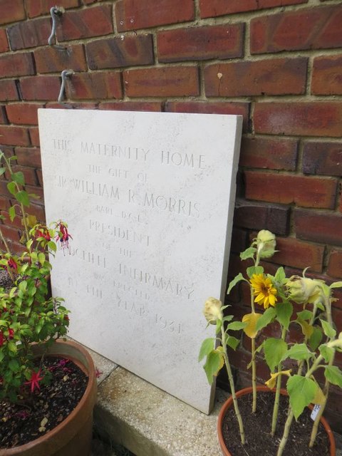
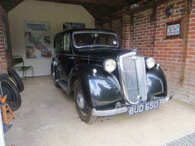
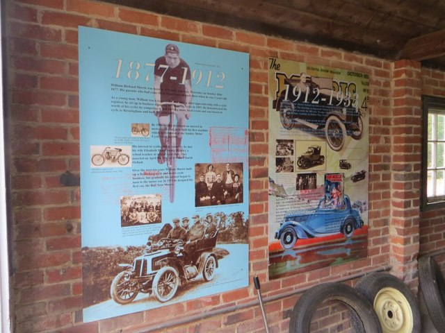
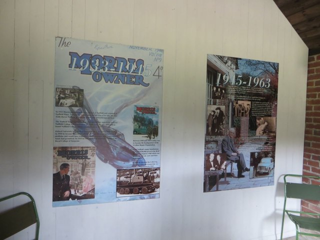
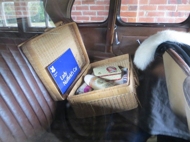
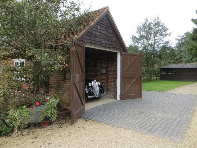
Nuffield Place

Nuffield Place is a country house near the village of Nuffield in the Chiltern Hills in South Oxfordshire, England, just over 4 miles (6 km) east of Wallingford...

HM Prison Huntercombe

HM Prison Huntercombe is a Category C men's prison, located near Nuffield in Oxfordshire, England. It is operated by His Majesty's Prison Service. ��2...

Henley Rural District

Henley was a rural district in Oxfordshire, England from 1894 to 1974.It was named after the borough of Henley-on-Thames, which it surrounded on the west...

Swyncombe

Swyncombe is a hamlet and large civil parish in the high Chilterns, within the Area of Outstanding Natural Beauty about 4+1⁄2 miles (7 km) east of Wallingford...

A4130 road

The A4130 is a British A road which runs from a junction with the A404 at Burchetts Green (Maidenhead), Berkshire to the A417 at Rowstock in Oxfordshire...

Ipsden Heath

Ipsden Heath is a 32-acre (13-hectare) woodland in the English county of Oxfordshire, within the Chiltern Area of Outstanding Natural Beauty. == References ==

Warren Bank

Warren Bank is a 3.1-hectare (7.7-acre) biological Site of Special Scientific Interest south-east of Wallingford in Oxfordshire. It is managed by the Berkshire...

Related Videos

Not New Years Eve Wild Camp

I had meant to do a wild camp video on New Year's Eve but in the end it didn't happen. Instead it's only now that I'm out on the first ...

Nuffield Place - Oxfordshire, England, UK | National Trust

Please Subscribe to my channel here: https://www.youtube.com/channel/UCCRwo9M6JMmW3dxvGyeyXew?sub_confirmation=1 ...

Nearby Amenities

Located within 500m of 51.584365,-1.0302292
Crossing
Crossing: unmarked
Crossing Markings: no
Lat/Long: 51.5846539/-1.0276174
Created By: osmeditor2
Lat/Long: 51.58203/-1.0245783
Created By: osmeditor2
Lat/Long: 51.5817583/-1.0260683
Created By: osmeditor2
Lat/Long: 51.5815233/-1.0272567
Created By: osmeditor2
Lat/Long: 51.5813133/-1.0283783
Created By: osmeditor2
Lat/Long: 51.581115/-1.029485
Created By: osmeditor2
Lat/Long: 51.58092/-1.0305033
Created By: osmeditor2
Lat/Long: 51.580525/-1.0324
Created By: osmeditor2
Lat/Long: 51.58032/-1.0331433
The Crown
Disused Amenity: pub
Note: Pub is permanently closed. Pub sign taken down.
Wikidata: Q26312007
Lat/Long: 51.5840108/-1.0267339
Barrier: kissing_gate
Foot: yes
Lat/Long: 51.581547/-1.0352602
Barrier: kissing_gate
Foot: yes
Lat/Long: 51.5865619/-1.0300863
Bus Stop
Nuffield Place
Bin: yes
Bus: yes
Departures Board: timetable
Naptan AtcoCode: 340000417CRO
Naptan Bearing: NW
Naptan CommonName: Nuffield Place
Naptan Indicator: Outside
Naptan Landmark: Nuffield Place
Naptan NaptanCode: oxfampdm
Naptan Street: Gangsdown Hill
Naptan Verified: no
Old Name: The Crown Inn PH
Public Transport: platform
Source: naptan_import
Lat/Long: 51.5840799/-1.0259537
Bus Stop
Nuffield Place
Bench: yes
Bin: yes
Bus: yes
Departures Board: timetable
Naptan AtcoCode: 340000417OPP
Naptan Bearing: SE
Naptan CommonName: Nuffield Place
Naptan Indicator: Opposite
Naptan Landmark: Bus Shelter
Naptan NaptanCode: oxfgjwpt
Naptan Street: Gangsdown Hill
Naptan Verified: no
Old Name: The Crown Inn PH
Public Transport: platform
Shelter: yes
Source: naptan_import
Lat/Long: 51.584048/-1.0254216
Post Box
Lat/Long: 51.5835981/-1.0236996
Cafe
The Maker Space
Lat/Long: 51.5843265/-1.0271263
The data included in this document is from www.openstreetmap.org. The data is made available under ODbL.

Have you been to Goose Common?

Leave your review of Goose Common below (or comments, questions and feedback).