Little Common

Wood, Forest in Oxfordshire South Oxfordshire

England

Little Common

A4130 at Gangsdown Hill
A4130 at Gangsdown Hill Credit: Colin Pyle

Little Common is a charming village located in the county of Oxfordshire, England. Situated amidst a lush wood and forest landscape, the village exudes a tranquil and picturesque atmosphere that is perfect for nature enthusiasts and those seeking a peaceful retreat.

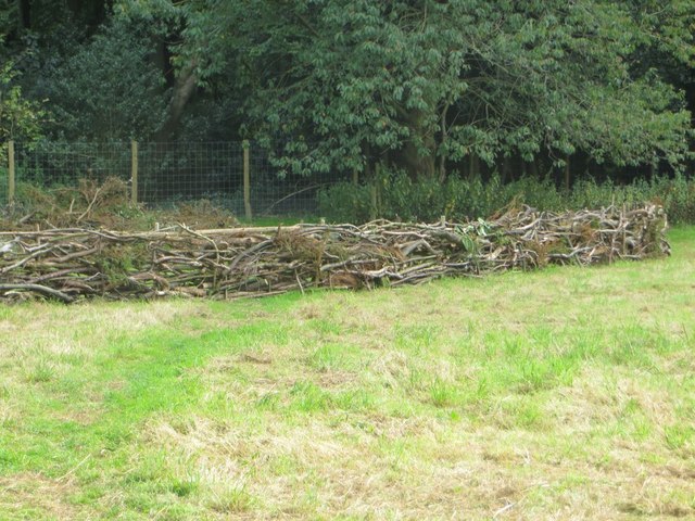
The village is known for its beautiful woodlands and vast stretches of forest, which provide an idyllic setting for leisurely walks, hiking, and exploration. The surrounding area is home to a rich variety of flora and fauna, making it a haven for wildlife enthusiasts and birdwatchers. The enchanting woodlands are particularly captivating during the autumn season when the leaves change color, creating a breathtaking display of vibrant hues.

Little Common is also steeped in history, with evidence of human habitation dating back to ancient times. The village is dotted with historical landmarks, including ancient burial mounds and remnants of early settlements, providing a fascinating insight into the area's past.

Despite its rural setting, Little Common is well-connected to neighboring towns and cities. The village is within easy reach of Oxford, which is renowned for its prestigious university and cultural heritage. Additionally, the village benefits from excellent transport links, ensuring convenient access to amenities and services.

In terms of facilities, Little Common offers a range of amenities to cater to residents and visitors alike. These include a village shop, a pub serving locally sourced food and drinks, and a community center that hosts various events and activities throughout the year.

Overall, Little Common in Oxfordshire is a captivating village that seamlessly blends its natural beauty and rich history, offering a tranquil haven for those seeking a retreat in the heart of nature.

If you have any feedback on the listing, please let us know in the comments section below.

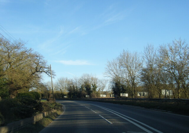
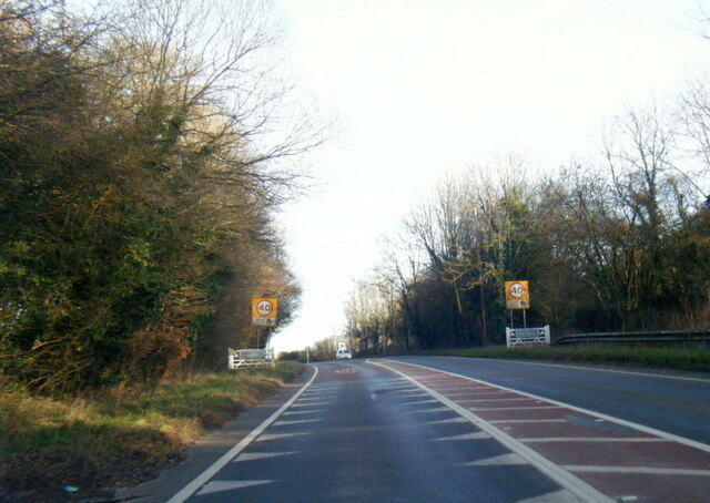
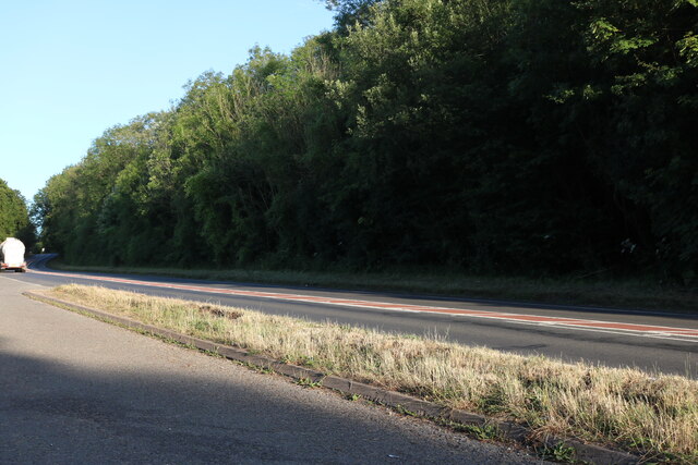
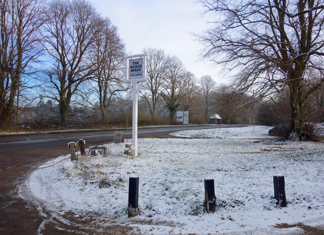
Little Common Images

Images are sourced within 2km of 51.580123/-1.0326286 or Grid Reference SU6787. Thanks to Geograph Open Source API. All images are credited.

A4130 at Gangsdown Hill
A4130 at Nuffield village boundary
Layby on Gangsdown Hill west on Nettlebed
Light Snow at The Maker Space The Crown at Nuffield was a lovely traditional pub in the Brakspears of Henley estate, but like so many country pubs these days couldn't keep going. It was closed for a long time <a href="https://www.geograph.org.uk/photo/5583827">SU6787 : The Crown closed inn beside the A4130</a> but happily is now open again as The Maker Space (at The Crown) aiming more at the coffee, cake and light meals market, and also as a craft centre.
Light Snow at The Maker Space
The Crown at Nuffield was a lovely traditional pub in the Brakspears of Henley estate, but like so many country pubs these days couldn't keep going. It was closed for a long time SU6787 : The Crown closed inn beside the A4130 but happily is now open again as The Maker Space (at The Crown) aiming more at the coffee, cake and light meals market, and also as a craft centre.
Hedge Laying There may well have been a competition or exhibition on how to do this at Nuffield Place some time.
Hedge Laying
There may well have been a competition or exhibition on how to do this at Nuffield Place some time.
Couple of Sheds No doubt built the same time as the house at Nuffield Place <a href="https://www.geograph.org.uk/photo/4811296">SU6787 : Plaque by the Shed</a>
Couple of Sheds
No doubt built the same time as the house at Nuffield Place SU6787 : Plaque by the Shed
Plaque by the Shed The plaque was presented to the Radcliffe Maternity Home by Lord Nuffield in 1931, no doubt rescued from the former site after it was sold.
Plaque by the Shed
The plaque was presented to the Radcliffe Maternity Home by Lord Nuffield in 1931, no doubt rescued from the former site after it was sold.
Lady Nuffield Car A wonderful old Wolseley in the garage at Nuffield Place
Lady Nuffield Car
A wonderful old Wolseley in the garage at Nuffield Place
Posters in the Garage 1 Some of the period posters in the garage at Nuffield Place
Posters in the Garage 1
Some of the period posters in the garage at Nuffield Place
Posters in the Garage 2 Some period posters in the garage at Nuffield Place
Posters in the Garage 2
Some period posters in the garage at Nuffield Place
Picnic Time Picnic hamper all packed in the back of Lady Nuffield's car at Nuffield Place
Picnic Time
Picnic hamper all packed in the back of Lady Nuffield's car at Nuffield Place
Garage at Nuffield Place The garage at Nuffield Place where Lady Nuffield kept her car
Garage at Nuffield Place
The garage at Nuffield Place where Lady Nuffield kept her car
Morris Morris Ten Four on show at Nuffield Place by one of the National Trust members
Morris
Morris Ten Four on show at Nuffield Place by one of the National Trust members
Ten Four Gauge The heater gauge on the Morris Ten Four at Nuffield Place <a href="https://www.geograph.org.uk/photo/4811424">SU6787 : Morris</a>
Ten Four Gauge
The heater gauge on the Morris Ten Four at Nuffield Place SU6787 : Morris
Bike in the Porch Not sure if this was a scullery at Nuffield Place but was the start of the tour round the house, the bike is leant against the wall. I could not say if it was one of Lord Nuffield's early bikes.
Bike in the Porch
Not sure if this was a scullery at Nuffield Place but was the start of the tour round the house, the bike is leant against the wall. I could not say if it was one of Lord Nuffield's early bikes.
Sitting Room at Nuffield Place One of the sitting rooms at Nuffield Place
Sitting Room at Nuffield Place
One of the sitting rooms at Nuffield Place
Afternoon Tea Afternoon Tea all set out at Nuffield Place
Afternoon Tea
Afternoon Tea all set out at Nuffield Place
Ready for Dinner The dining table at Nuffield Place all set out for dinner
Ready for Dinner
The dining table at Nuffield Place all set out for dinner
Show me another place!

Little Common is located at Grid Ref: SU6787 (Lat: 51.580123, Lng: -1.0326286)

Administrative County: Oxfordshire

District: South Oxfordshire

Police Authority: Thames Valley

What 3 Words

///cups.easily.ridiculed. Near Wallingford, Oxfordshire

Related Wikis

Nuffield, Oxfordshire

Nuffield is a village and civil parish in the Chiltern Hills in South Oxfordshire, England, just over 4 miles (6 km) east of Wallingford. The 2011 Census...
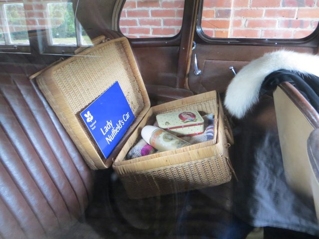
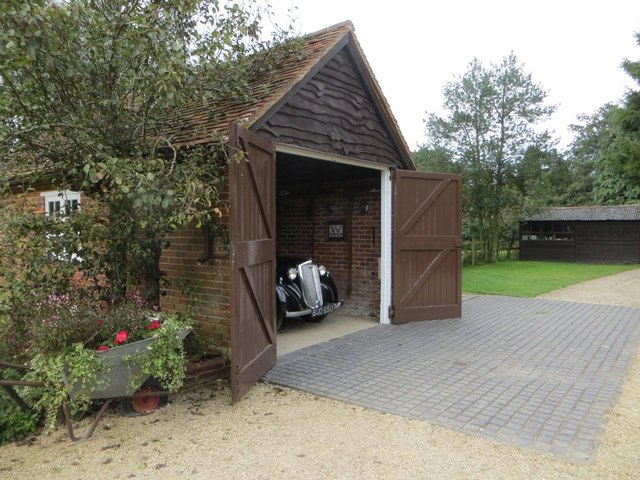
Nuffield Place

Nuffield Place is a country house near the village of Nuffield in the Chiltern Hills in South Oxfordshire, England, just over 4 miles (6 km) east of Wallingford...

HM Prison Huntercombe

HM Prison Huntercombe is a Category C men's prison, located near Nuffield in Oxfordshire, England. It is operated by His Majesty's Prison Service. ��2...

Henley Rural District

Henley was a rural district in Oxfordshire, England from 1894 to 1974.It was named after the borough of Henley-on-Thames, which it surrounded on the west...

Ipsden Heath

Ipsden Heath is a 32-acre (13-hectare) woodland in the English county of Oxfordshire, within the Chiltern Area of Outstanding Natural Beauty. == References ==

Warren Bank

Warren Bank is a 3.1-hectare (7.7-acre) biological Site of Special Scientific Interest south-east of Wallingford in Oxfordshire. It is managed by the Berkshire...

A4130 road

The A4130 is a British A road which runs from a junction with the A404 at Burchetts Green (Maidenhead), Berkshire to the A417 at Rowstock in Oxfordshire...

Nettlebed

Nettlebed is a village and civil parish in Oxfordshire in the Chiltern Hills about 4+1⁄2 miles (7 km) northwest of Henley-on-Thames and 6 miles (10 km...

Nearby Amenities

Located within 500m of 51.580123,-1.0326286
Created By: osmeditor2
Lat/Long: 51.5817583/-1.0260683
Created By: osmeditor2
Lat/Long: 51.5815233/-1.0272567
Created By: osmeditor2
Lat/Long: 51.5813133/-1.0283783
Created By: osmeditor2
Lat/Long: 51.581115/-1.029485
Created By: osmeditor2
Lat/Long: 51.58092/-1.0305033
Created By: osmeditor2
Lat/Long: 51.580525/-1.0324
Created By: osmeditor2
Lat/Long: 51.58032/-1.0331433
Created By: osmeditor2
Lat/Long: 51.579705/-1.034355
Created By: osmeditor2
Lat/Long: 51.5792883/-1.03479
Barrier: kissing_gate
Foot: yes
Lat/Long: 51.5815579/-1.0352405
Barrier: kissing_gate
Foot: yes
Lat/Long: 51.5792427/-1.026465
Barrier: kissing_gate
Foot: yes
Lat/Long: 51.5775738/-1.0281142
Drinking Water
Bottle: yes
Drinking Water: yes
Man Made: water_tap
Lat/Long: 51.5810715/-1.0379267
Entrance: main
Lat/Long: 51.5810187/-1.0379924
Nuffield
Place: village
Source: Bing
Wikidata: Q2552107
Wikipedia: en:Nuffield, Oxfordshire
Lat/Long: 51.5802505/-1.0360218
Lord Nuffield
Buried Wikidata: Q335487
Cemetery: grave
Inscription: WILLIAM RICHARD MORRIS VISCOUNT NUFFIELD 1877 1963
Lat/Long: 51.5811263/-1.0379106
The data included in this document is from www.openstreetmap.org. The data is made available under ODbL.

Have you been to Little Common?

Leave your review of Little Common below (or comments, questions and feedback).