Lower Warren
Wood, Forest in Oxfordshire South Oxfordshire
England
Lower Warren
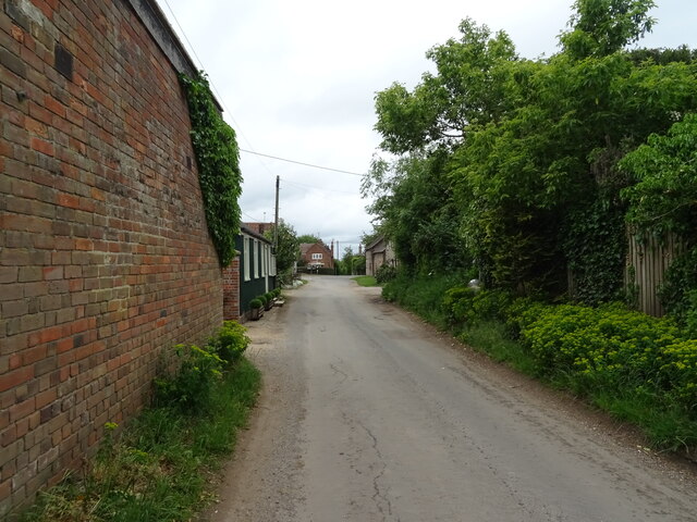
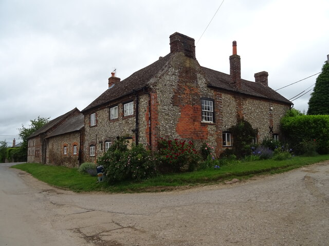
Lower Warren is a small village located in the county of Oxfordshire, England. Situated in the heart of the Wood, Forest area, it is surrounded by picturesque landscapes and lush greenery. The village is part of the larger district of Cherwell and falls within the jurisdiction of the local parish council.
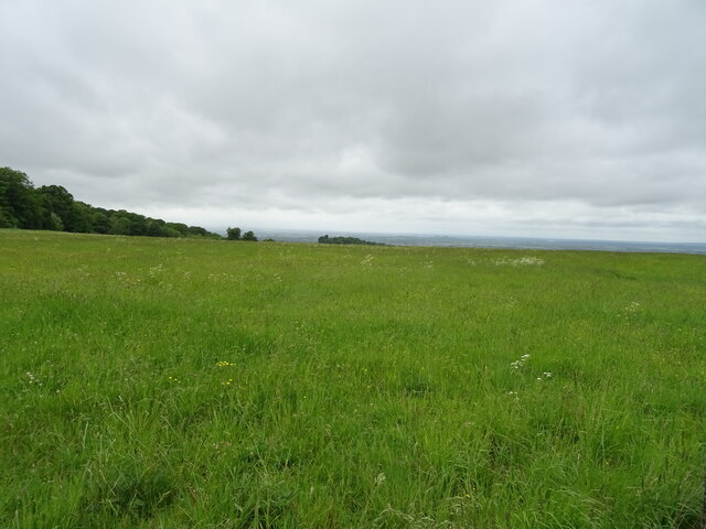
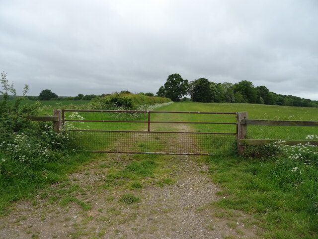
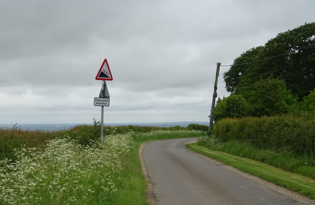
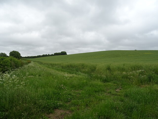
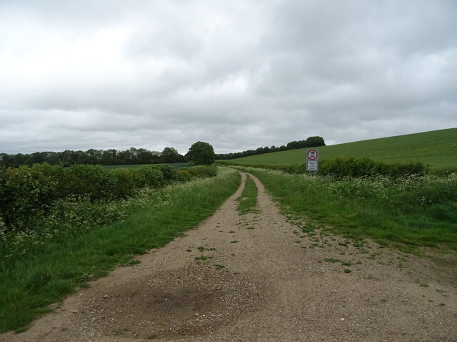
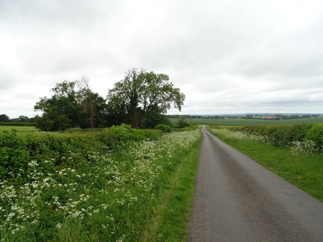
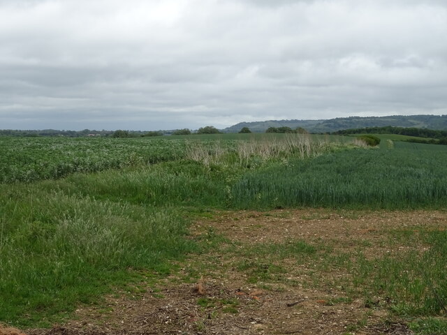
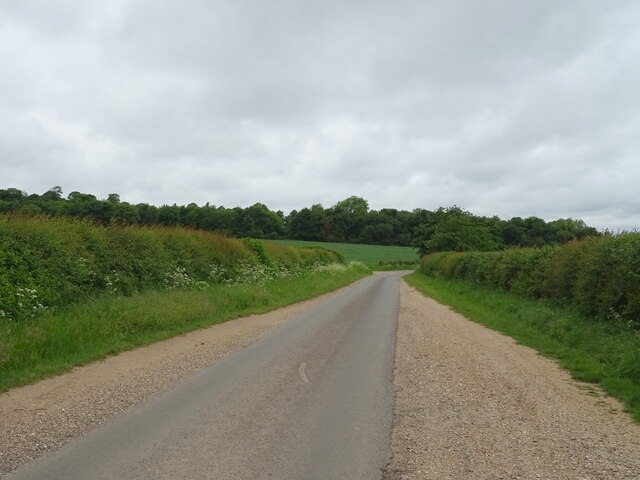
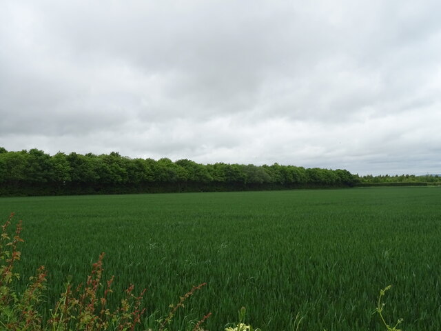
Lower Warren is known for its tranquil and idyllic setting, making it a popular destination for nature lovers and outdoor enthusiasts. The area is predominantly covered by dense woodlands, offering numerous walking trails and pathways for visitors to explore. The forest is home to a diverse range of flora and fauna, providing ample opportunities for wildlife spotting and birdwatching.
Despite its peaceful ambiance, Lower Warren is conveniently located just a short distance away from the bustling market town of Banbury. This proximity allows residents of the village to enjoy the benefits of both rural and urban lifestyles. The town offers a range of amenities, including shops, restaurants, schools, and healthcare facilities, ensuring that residents have access to all their daily needs.
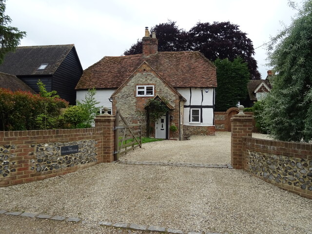
Lower Warren is a close-knit community, with a small population that values its heritage and traditions. The village hosts various local events throughout the year, which bring the community together and create a strong sense of belonging. The residents take pride in maintaining the natural beauty of the area and are actively involved in conservation efforts to preserve the woodland and protect the local ecosystem.
In summary, Lower Warren, Oxfordshire, is a charming village nestled in the Wood, Forest area. With its serene surroundings, ample outdoor activities, and convenient proximity to nearby amenities, it offers residents a peaceful and fulfilling lifestyle.
If you have any feedback on the listing, please let us know in the comments section below.
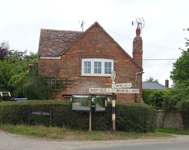
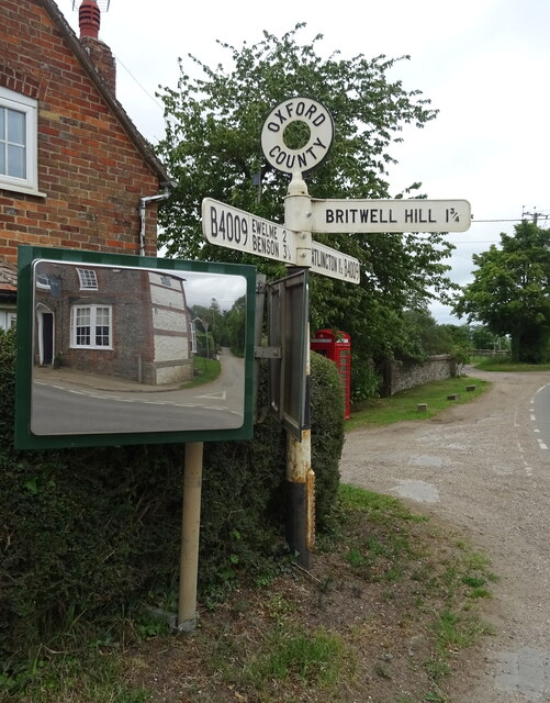
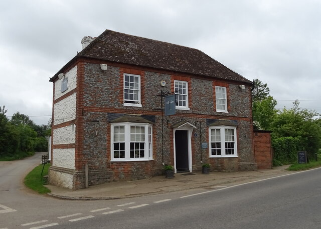
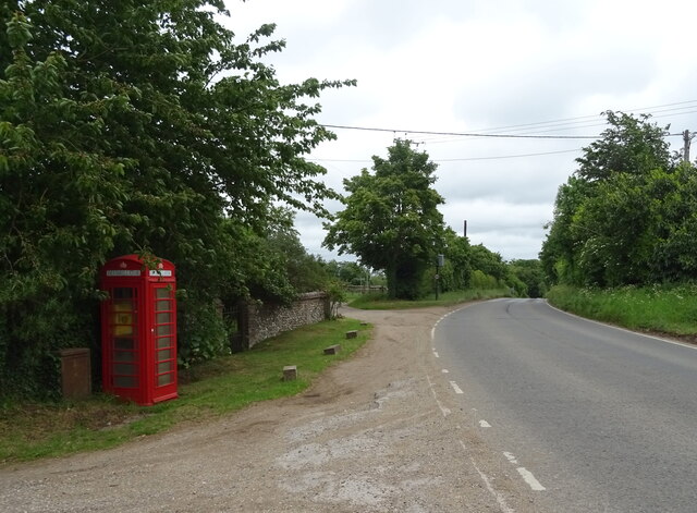
Lower Warren Images
Images are sourced within 2km of 51.617404/-1.031793 or Grid Reference SU6791. Thanks to Geograph Open Source API. All images are credited.

Lower Warren is located at Grid Ref: SU6791 (Lat: 51.617404, Lng: -1.031793)
Administrative County: Oxfordshire
District: South Oxfordshire
Police Authority: Thames Valley
What 3 Words
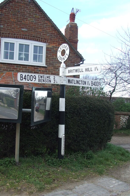
///nurses.summer.tinny. Near Watlington, Oxfordshire
Nearby Locations
Related Wikis

Swyncombe Downs
Swyncombe Downs is a 47.1-hectare (116-acre) biological Site of Special Scientific Interest east of Wallingford in Oxfordshire.This is an area of chalk...

Swyncombe
Swyncombe is a hamlet and large civil parish in the high Chilterns, within the Area of Outstanding Natural Beauty about 4+1⁄2 miles (7 km) east of Wallingford...

Britwell Salome
Britwell Salome is a village and civil parish in South Oxfordshire, England centred 4+1⁄2 miles (7 km) northeast of Wallingford. The 2011 Census recorded...
Ewelme
Ewelme () is a village and civil parish in the Chiltern Hills in South Oxfordshire, 2.5 miles (4 km) north-east of the market town of Wallingford. The...
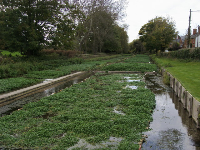
Ewelme Watercress Beds
Ewelme Watercress Beds is a 2.6-hectare (6.4-acre) Local Nature Reserve in Ewelme in Oxfordshire. It is owned and managed by the Chiltern Society.A stream...

HM Prison Huntercombe
HM Prison Huntercombe is a Category C men's prison, located near Nuffield in Oxfordshire, England. It is operated by His Majesty's Prison Service. ��2...
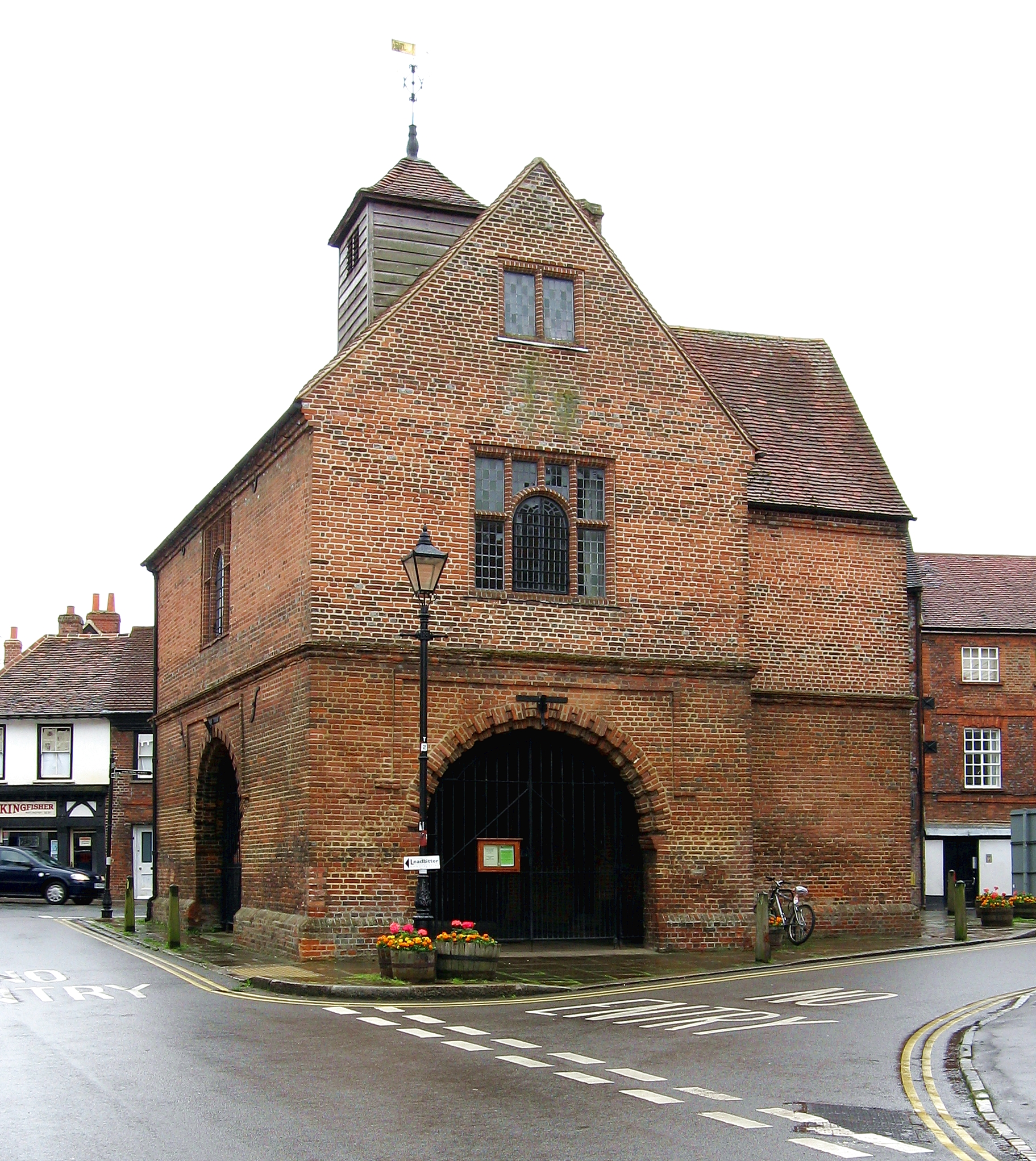
Watlington, Oxfordshire
Watlington is a small market town and civil parish about 7 miles (11 km) south of Thame in Oxfordshire, near the county's eastern edge and less than 2...

A4130 road
The A4130 is a British A road which runs from a junction with the A404 at Burchetts Green (Maidenhead), Berkshire to the A417 at Rowstock in Oxfordshire...
Nearby Amenities
Located within 500m of 51.617404,-1.031793Have you been to Lower Warren?
Leave your review of Lower Warren below (or comments, questions and feedback).