Swyncombe Downs
Downs, Moorland in Oxfordshire South Oxfordshire
England
Swyncombe Downs

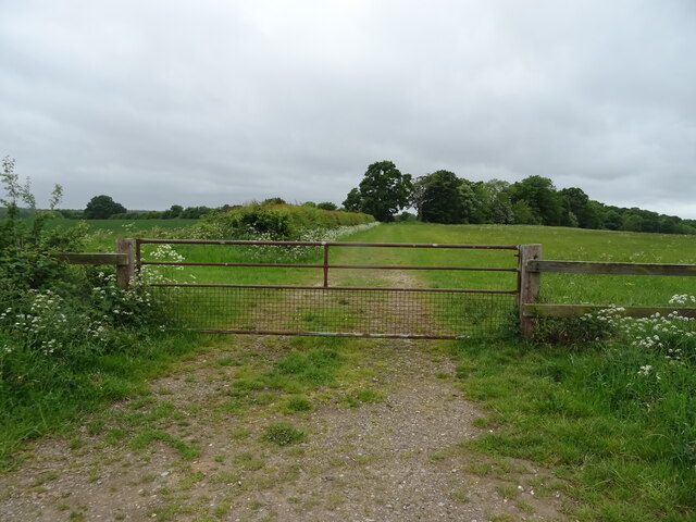
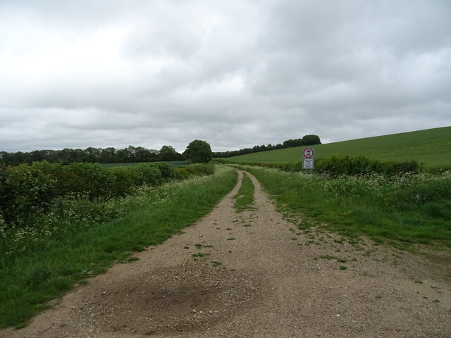
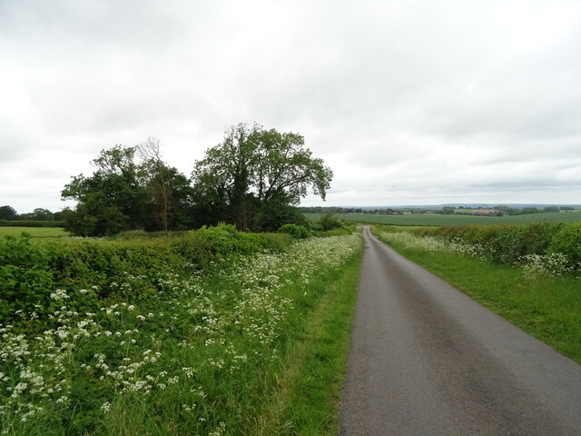
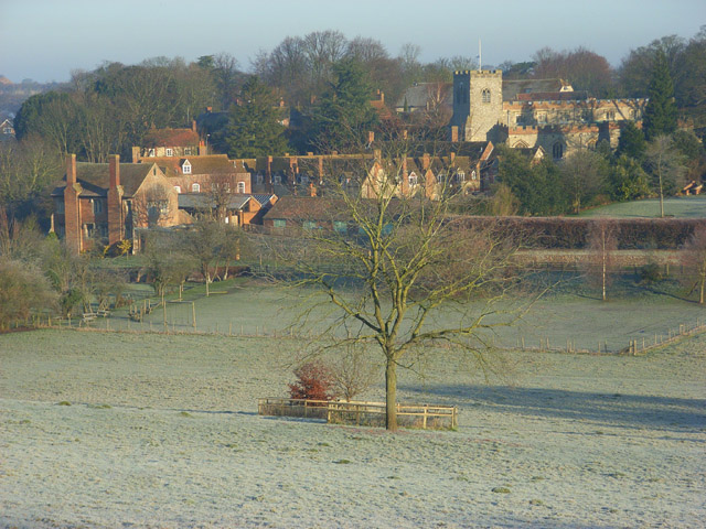
Swyncombe Downs, located in Oxfordshire, England, is an area of exceptional natural beauty that encompasses a mix of downs and moorland landscapes. Covering an extensive area, it is a popular destination for nature enthusiasts, hikers, and birdwatchers.
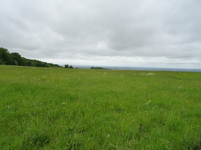
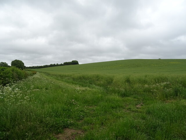
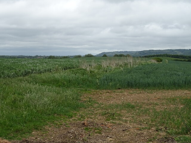
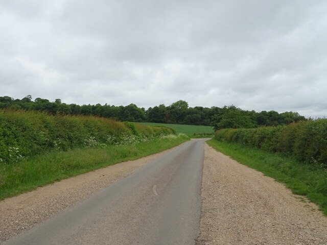
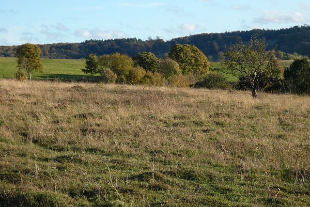
The downs, characterized by their gently rolling hills and wide open spaces, offer breathtaking panoramic views of the surrounding countryside. The landscape is dominated by the vibrant green grasses, scattered thorny bushes, and occasional patches of woodland. These downs provide a serene and peaceful environment, perfect for relaxation and unwinding from the hustle and bustle of daily life.
The moorland areas within Swyncombe Downs add a unique charm to the landscape. With its heather-clad hills and rocky outcrops, it provides a stark contrast to the downs. The moorland is home to a variety of wildflowers, including purple heather and yellow gorse, which create a visually stunning tapestry of colors during the summer months.
The diverse range of habitats found within Swyncombe Downs supports an abundance of wildlife. Visitors may catch glimpses of various bird species, such as skylarks, kestrels, and buzzards, soaring high above the hills. Additionally, the area is home to small mammals like rabbits and voles, as well as reptiles, including slow worms and common lizards.
Swyncombe Downs is also steeped in history, with archaeological sites scattered throughout the area. Ancient burial mounds and remnants of Iron Age settlements serve as a reminder of the rich cultural heritage of the region.
Overall, Swyncombe Downs offers a unique and captivating experience for nature lovers and history enthusiasts alike. Its stunning landscapes, diverse wildlife, and historical significance make it a must-visit destination in Oxfordshire.
If you have any feedback on the listing, please let us know in the comments section below.
Swyncombe Downs Images
Images are sourced within 2km of 51.614814/-1.0241356 or Grid Reference SU6791. Thanks to Geograph Open Source API. All images are credited.


Swyncombe Downs is located at Grid Ref: SU6791 (Lat: 51.614814, Lng: -1.0241356)
Administrative County: Oxfordshire
District: South Oxfordshire
Police Authority: Thames Valley
What 3 Words
///island.light.cushy. Near Watlington, Oxfordshire
Nearby Locations
Related Wikis

Swyncombe Downs
Swyncombe Downs is a 47.1-hectare (116-acre) biological Site of Special Scientific Interest east of Wallingford in Oxfordshire.This is an area of chalk...

Swyncombe
Swyncombe is a hamlet and large civil parish in the high Chilterns, within the Area of Outstanding Natural Beauty about 4+1⁄2 miles (7 km) east of Wallingford...

Britwell Salome
Britwell Salome is a village and civil parish in South Oxfordshire, England centred 4+1⁄2 miles (7 km) northeast of Wallingford. The 2011 Census recorded...

HM Prison Huntercombe
HM Prison Huntercombe is a Category C men's prison, located near Nuffield in Oxfordshire, England. It is operated by His Majesty's Prison Service. ��2...

Watlington Park
Watlington Park is an English country house with its surrounding grounds of approximately 500 acres (200 ha), located atop an escarpment in the Chiltern...
Ewelme
Ewelme () is a village and civil parish in the Chiltern Hills in South Oxfordshire, 2.5 miles (4 km) north-east of the market town of Wallingford. The...

Nuffield Place
Nuffield Place is a country house near the village of Nuffield in the Chiltern Hills in South Oxfordshire, England, just over 4 miles (6 km) east of Wallingford...

Russell's Water
Russell's Water is a hamlet about 6 miles (9.7 km) north of Henley-on-Thames in South Oxfordshire. It is in the Chiltern Hills about 620 feet (190 m)...
Nearby Amenities
Located within 500m of 51.614814,-1.0241356Have you been to Swyncombe Downs?
Leave your review of Swyncombe Downs below (or comments, questions and feedback).