Coneygear Wood
Wood, Forest in Oxfordshire South Oxfordshire
England
Coneygear Wood
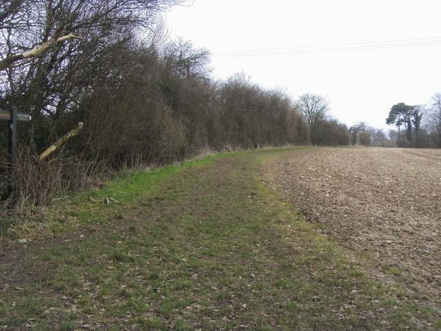
Coneygear Wood is a charming woodland located in Oxfordshire, England. Situated near the village of Cuddesdon, it covers an area of approximately 40 acres and is an enchanting destination for nature enthusiasts and outdoor lovers alike.
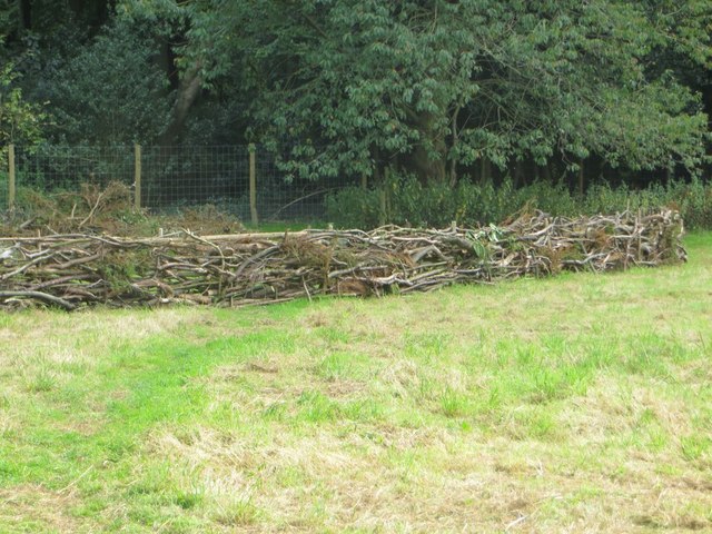
The wood is predominantly composed of native broadleaf trees, including oak, beech, and ash, which create a rich and diverse habitat for various flora and fauna. The canopy of the trees forms a dense cover, allowing only dappled sunlight to filter through, creating a tranquil and peaceful atmosphere.
A network of well-maintained footpaths meanders through the wood, providing visitors with the opportunity to explore its beauty and immerse themselves in nature. These paths lead visitors through picturesque glades, where wildflowers bloom in abundance during the spring and summer months, adding vibrant colors to the landscape.
The wood is also home to a variety of wildlife, including deer, foxes, and a multitude of bird species. Birdwatchers will delight in the opportunity to spot woodpeckers, owls, and other woodland birds in their natural habitat.
Coneygear Wood is not only a haven for wildlife but also serves as an important educational resource. Visitors can learn about woodland management and conservation through interpretation boards scattered throughout the wood, which provide information about the flora, fauna, and history of the area.
Overall, Coneygear Wood offers visitors a chance to connect with nature, enjoy serene walks, and observe the beauty of a natural woodland ecosystem in the heart of Oxfordshire.
If you have any feedback on the listing, please let us know in the comments section below.
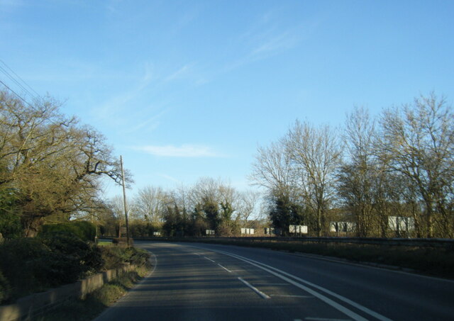
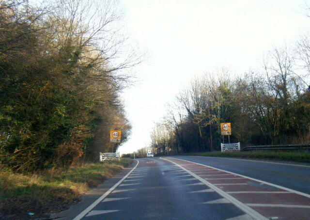
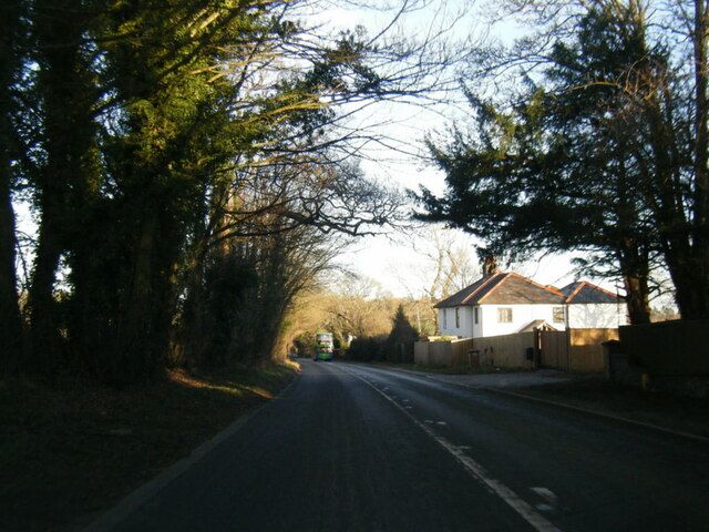
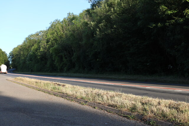
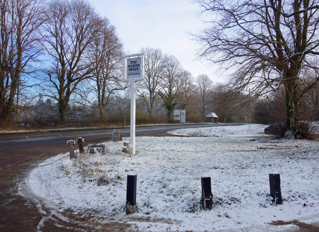
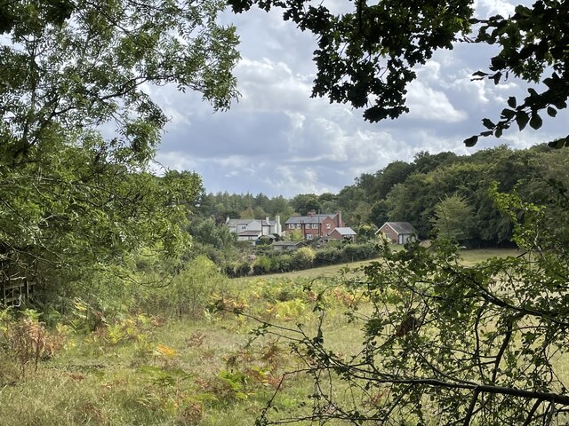
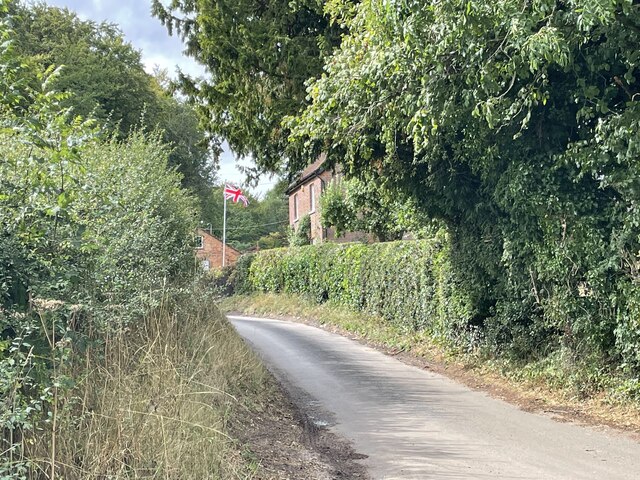
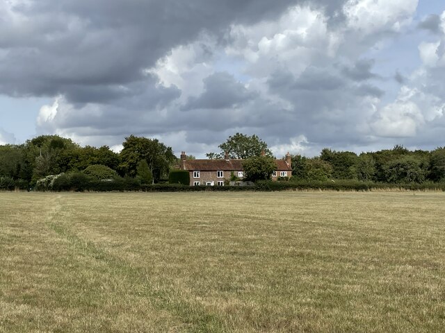
Coneygear Wood Images
Images are sourced within 2km of 51.585673/-1.0285415 or Grid Reference SU6787. Thanks to Geograph Open Source API. All images are credited.

Coneygear Wood is located at Grid Ref: SU6787 (Lat: 51.585673, Lng: -1.0285415)
Administrative County: Oxfordshire
District: South Oxfordshire
Police Authority: Thames Valley
What 3 Words
///shelving.acclaimed.tubes. Near Watlington, Oxfordshire
Nearby Locations
Related Wikis

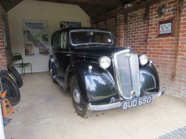
Nuffield Place
Nuffield Place is a country house near the village of Nuffield in the Chiltern Hills in South Oxfordshire, England, just over 4 miles (6 km) east of Wallingford...

Nuffield, Oxfordshire
Nuffield is a village and civil parish in the Chiltern Hills in South Oxfordshire, England, just over 4 miles (6 km) east of Wallingford. The 2011 Census...

HM Prison Huntercombe
HM Prison Huntercombe is a Category C men's prison, located near Nuffield in Oxfordshire, England. It is operated by His Majesty's Prison Service. ��2...

Henley Rural District
Henley was a rural district in Oxfordshire, England from 1894 to 1974.It was named after the borough of Henley-on-Thames, which it surrounded on the west...

Swyncombe
Swyncombe is a hamlet and large civil parish in the high Chilterns, within the Area of Outstanding Natural Beauty about 4+1⁄2 miles (7 km) east of Wallingford...

A4130 road
The A4130 is a British A road which runs from a junction with the A404 at Burchetts Green (Maidenhead), Berkshire to the A417 at Rowstock in Oxfordshire...

Nettlebed
Nettlebed is a village and civil parish in Oxfordshire in the Chiltern Hills about 4+1⁄2 miles (7 km) northwest of Henley-on-Thames and 6 miles (10 km...
Ipsden Heath
Ipsden Heath is a 32-acre (13-hectare) woodland in the English county of Oxfordshire, within the Chiltern Area of Outstanding Natural Beauty. == References ==
Nearby Amenities
Located within 500m of 51.585673,-1.0285415Have you been to Coneygear Wood?
Leave your review of Coneygear Wood below (or comments, questions and feedback).