Pit Close Plantation
Wood, Forest in Oxfordshire South Oxfordshire
England
Pit Close Plantation

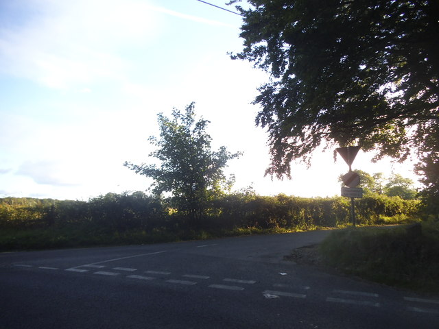
Pit Close Plantation is a woodland area located in Oxfordshire, England. Situated in the heart of the county, the plantation covers an approximate area of 100 acres. It is a part of a larger forested region surrounding the town of Wood.
The plantation boasts a diverse mix of tree species, including oak, beech, birch, and pine. These trees provide a rich and varied habitat for a wide range of flora and fauna, making it an important ecological site in the region. The woodland floor is carpeted with a variety of wildflowers, such as bluebells and primroses, adding to the natural beauty of the area.
Pit Close Plantation offers an ideal setting for leisurely walks, nature exploration, and outdoor activities. Several well-marked trails wind their way through the woodland, providing visitors with an opportunity to immerse themselves in nature. The peaceful atmosphere and abundant wildlife make it a popular destination for birdwatchers and nature enthusiasts.
The plantation is managed by the local forestry commission, who ensure the preservation and sustainable use of the woodland. They carry out regular maintenance activities, including tree thinning and replanting, to maintain the health and vitality of the plantation.
Access to Pit Close Plantation is free and open to the public year-round. It is conveniently located near the town of Wood, making it easily accessible for both locals and tourists. Visitors are encouraged to respect the environment and adhere to any posted guidelines to ensure the conservation of this natural treasure for future generations.
If you have any feedback on the listing, please let us know in the comments section below.
Pit Close Plantation Images
Images are sourced within 2km of 51.494253/-1.0305288 or Grid Reference SU6777. Thanks to Geograph Open Source API. All images are credited.


Pit Close Plantation is located at Grid Ref: SU6777 (Lat: 51.494253, Lng: -1.0305288)
Administrative County: Oxfordshire
District: South Oxfordshire
Police Authority: Thames Valley
What 3 Words
///shed.flank.manliness. Near Pangbourne, Berkshire
Nearby Locations
Related Wikis

Trench Green
Trench Green is a hamlet in Oxfordshire about 1 mile (1.6 km) northeast of the village of Mapledurham and about 4 miles (6.4 km) northwest of Reading in...

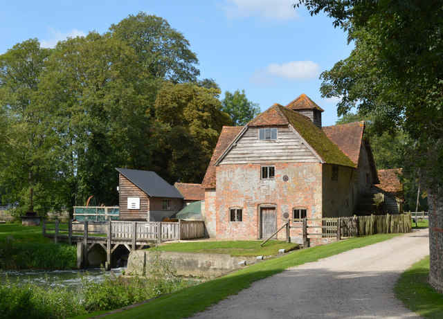
Mapledurham Watermill
Mapledurham Watermill is a historic watermill in the civil parish of Mapledurham in the English county of Oxfordshire. It is driven by the head of water...

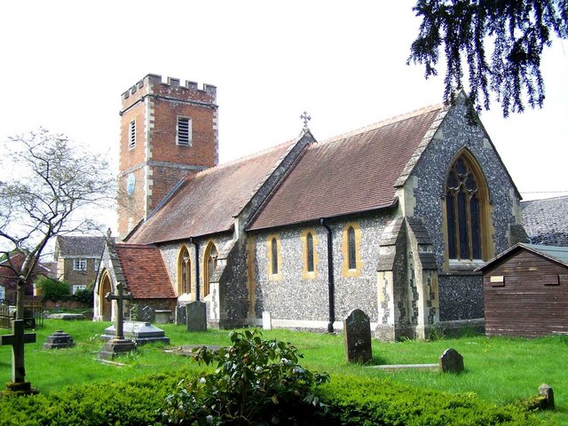
Mapledurham House
Mapledurham House is an Elizabethan stately home located in the civil parish of Mapledurham in the English county of Oxfordshire. It is a Grade I listed...

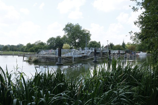
Mapledurham Lock
Mapledurham Lock is a lock and weir situated on the River Thames in England, about 4 miles upstream of Reading. The lock was first built in 1777 by the...

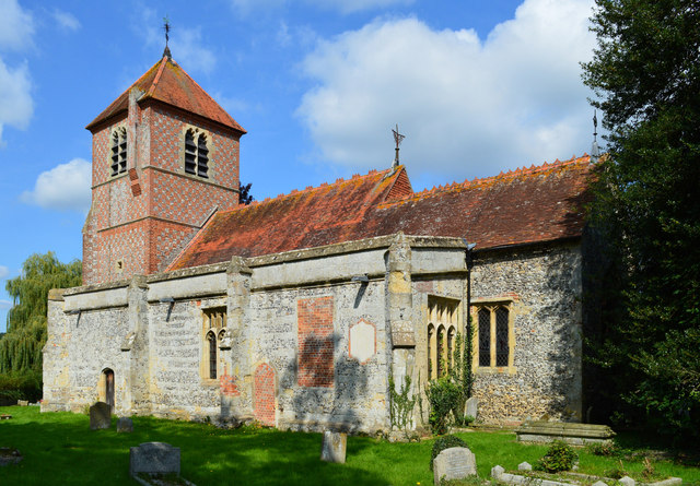
Mapledurham
Mapledurham is a small village, civil parish and country estate beside the River Thames in southern Oxfordshire, England. The large parish borders Caversham...

Hardwick House, Oxfordshire
Hardwick House is a Tudor house on the banks of the River Thames on a slight rise at Whitchurch-on-Thames in the English county of Oxfordshire. It is reputed...

Chazey Heath
Chazey Heath is a hamlet in Oxfordshire, England, about 3 miles (4.8 km) north of Reading, Berkshire. It is situated on the A4074 road, between Caversham...
Purley on Thames
Purley on Thames (known locally as Purley) is a village and civil parish in Berkshire, England. Purley is centred 3 miles (4.8 km) north-west of Reading...
Nearby Amenities
Located within 500m of 51.494253,-1.0305288Have you been to Pit Close Plantation?
Leave your review of Pit Close Plantation below (or comments, questions and feedback).