Barn-hill Spinney

Wood, Forest in Northamptonshire

England

Barn-hill Spinney

There is a bridge The lowest part of this road is a bridge over the River Welland.  It is just past the largest Ash tree on the right.
There is a bridge Credit: Bob Harvey

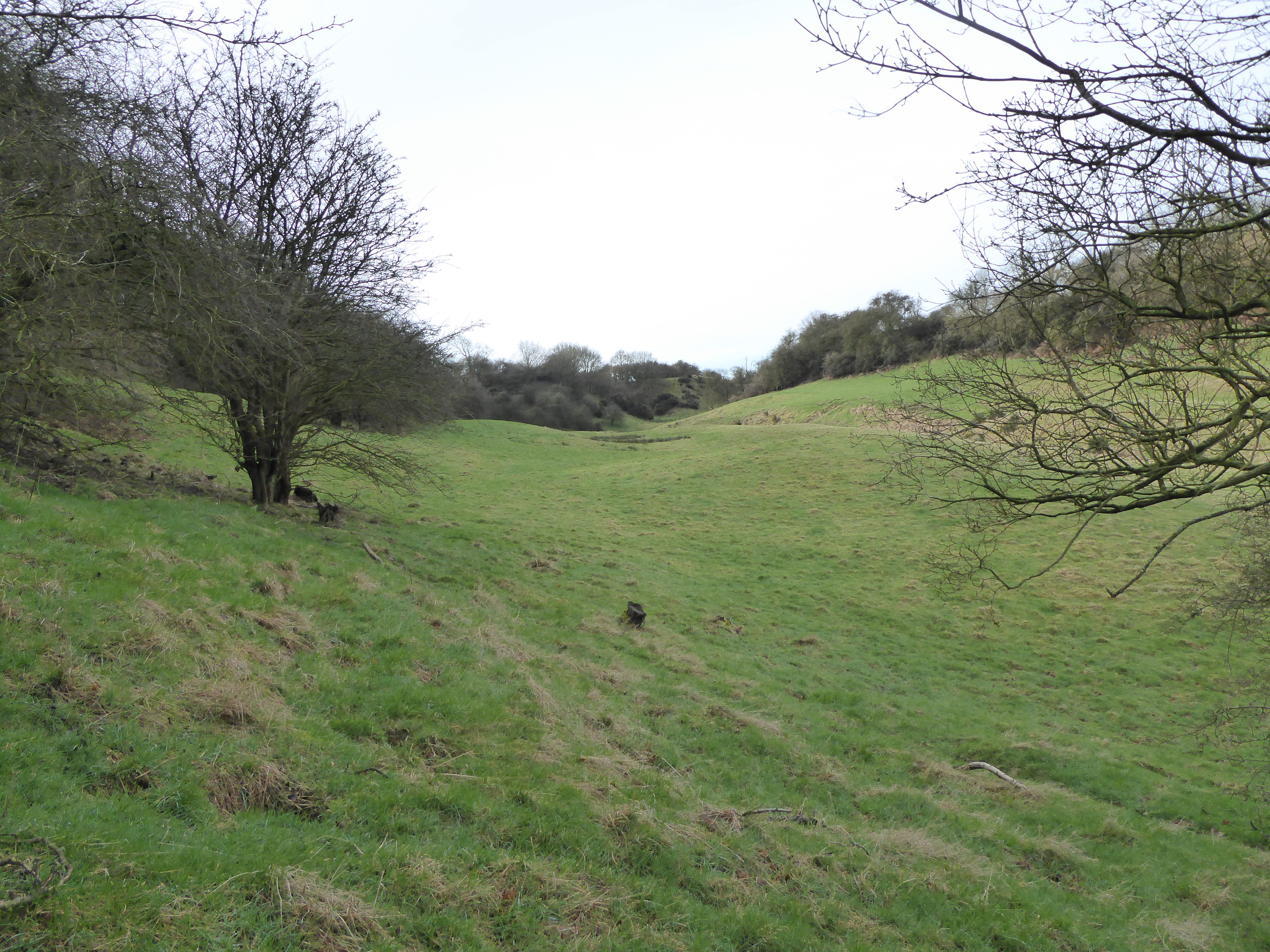
Barn-hill Spinney is a picturesque woodland located in the county of Northamptonshire, England. Nestled in the heart of the English countryside, this enchanting spinney covers an area of approximately 15 acres and is a haven for nature enthusiasts and wildlife lovers alike.

The spinney is primarily composed of a diverse range of trees, including oak, ash, beech, and birch, which form a dense canopy overhead. These towering trees provide a habitat for a variety of bird species, such as woodpeckers, owls, and songbirds, filling the air with their melodious tunes.

Traversing through Barn-hill Spinney, visitors will be captivated by the tranquil atmosphere and the rich tapestry of flora that adorns the forest floor. Bluebells, primroses, and wild garlic create a vibrant carpet of color during the spring months, while ferns and mosses thrive in the cool shade provided by the towering trees.

The spinney is also home to a myriad of woodland creatures, including squirrels, foxes, and deer. Nature enthusiasts may also spot small mammals such as hedgehogs and shrews scurrying amongst the undergrowth.

Barn-hill Spinney offers a network of well-maintained footpaths, allowing visitors to explore the woodland at their own pace. The peaceful ambiance makes it an ideal location for a leisurely stroll, birdwatching, or simply immersing oneself in the beauty of the natural surroundings.

Overall, Barn-hill Spinney is a true gem of Northamptonshire, offering a serene retreat from the hustle and bustle of everyday life. Whether one seeks solace in nature or a chance to observe the wonders of the local ecosystem, this woodland sanctuary is a must-visit destination for all nature enthusiasts.

If you have any feedback on the listing, please let us know in the comments section below.

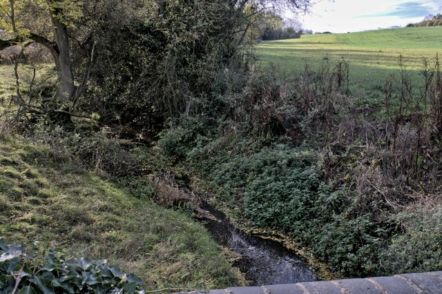
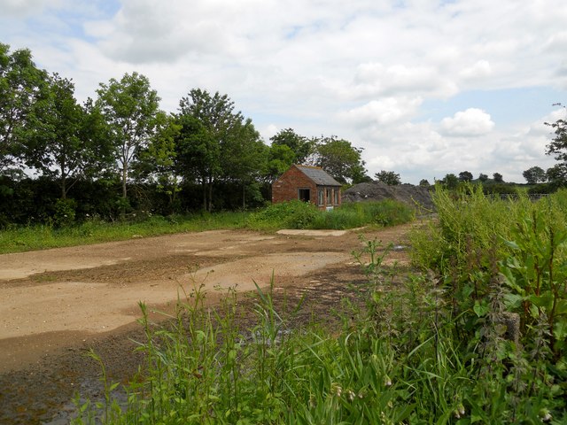
Barn-hill Spinney Images

Images are sourced within 2km of 52.448993/-1.0097223 or Grid Reference SP6783. Thanks to Geograph Open Source API. All images are credited.

There is a bridge The lowest part of this road is a bridge over the River Welland.  It is just past the largest Ash tree on the right.
There is a bridge
The lowest part of this road is a bridge over the River Welland. It is just past the largest Ash tree on the right.
Bridge over the Welland The westernmost, upstream, parapet of the bridge over the River Welland
Bridge over the Welland
The westernmost, upstream, parapet of the bridge over the River Welland
Upstream from the bridge The River Welland, seen upstream from the bridge in <a href="https://www.geograph.org.uk/photo/7325249">SP6685 : Bridge over the Welland</a>.
Upstream from the bridge
The River Welland, seen upstream from the bridge in SP6685 : Bridge over the Welland.
Somewhere in there We are looking downstream from the bridge over the River Welland, whose waters are somewhere in among this tangle of vegetation.
Somewhere in there
We are looking downstream from the bridge over the River Welland, whose waters are somewhere in among this tangle of vegetation.
Bridge across the Welland The easternmost, downstream parapet of the bridge first hinted at in <a href="https://www.geograph.org.uk/photo/7325247">SP6685 : There is a bridge</a>.
Bridge across the Welland
The easternmost, downstream parapet of the bridge first hinted at in SP6685 : There is a bridge.
Bridge construction The parapet and arch of a brick bridge, and very slightly upstream a pair of profiled concrete pillars. These might have been for stop boards to hold the river back during bridge works, but I think they are probably the remains of a former pipe bridge.
Bridge construction
The parapet and arch of a brick bridge, and very slightly upstream a pair of profiled concrete pillars. These might have been for stop boards to hold the river back during bridge works, but I think they are probably the remains of a former pipe bridge.
Main Street, Theddingworth
Mowsley Road Approaching junction onto Main Street. The Thatched Cottage to the left, grade II listed <span class="nowrap"><a title="https://historicengland.org.uk/listing/the-list/list-entry/1061496" rel="nofollow ugc noopener" href="https://historicengland.org.uk/listing/the-list/list-entry/1061496">Link</a><img style="margin-left:2px;" alt="External link" title="External link - shift click to open in new window" src="https://s1.geograph.org.uk/img/external.png" width="10" height="10"/></span>
Mowsley Road
Approaching junction onto Main Street. The Thatched Cottage to the left, grade II listed LinkExternal link
All Saints Church, Theddingworth
Sibbertoft Farmland The road to Theddingworth descends steeply near the Hothorpe Hills.
Sibbertoft Farmland
The road to Theddingworth descends steeply near the Hothorpe Hills.
Theddingworth Farmland Bridleway to Hothorpe Hills.
Theddingworth Farmland
Bridleway to Hothorpe Hills.
Theddingworth-Home Farm The road leading into the farm. For a winter view [<a title="https://www.geograph.org.uk/photo/296409" href="https://www.geograph.org.uk/photo/296409">Link</a>]
Theddingworth-Home Farm
The road leading into the farm. For a winter view [Link]
Sibbertoft Cottages Close to The Red Lion in Welland Rise.
Sibbertoft Cottages
Close to The Red Lion in Welland Rise.
Sibbertoft-Welland Rise The Stables, showing the Parish Noticeboard.
Sibbertoft-Welland Rise
The Stables, showing the Parish Noticeboard.
Sibbertoft-The Red Lion Traditional Pub on Welland Rise.
Sibbertoft-The Red Lion
Traditional Pub on Welland Rise.
Welford Road Derelict Building Near the Avalanche Adventure Park.
Welford Road Derelict Building
Near the Avalanche Adventure Park.
Muck shifters at the Wrongs Classic Caterpillar plant dozing in an old quarry near Sibbertoft. This was a weekend event for operators to operate their classic machines.
Muck shifters at the Wrongs
Classic Caterpillar plant dozing in an old quarry near Sibbertoft. This was a weekend event for operators to operate their classic machines.
Quarry near the Wrongs An old quarry near Sibbertoft village.
Quarry near the Wrongs
An old quarry near Sibbertoft village.
Show me another place!

Barn-hill Spinney is located at Grid Ref: SP6783 (Lat: 52.448993, Lng: -1.0097223)

Unitary Authority: West Northamptonshire

Police Authority: Northamptonshire

What 3 Words

///tightest.device.messing. Near Husbands Bosworth, Leicestershire

Related Wikis

Coombe Hill Hollow

Coombe Hill Hollow is a 4.3-hectare (11-acre) biological Site of Special Scientific Interest north of Sibbertoft in Northamptonshire, England. This steep...

Hothorpe Hall

Hothorpe Hall, in Northamptonshire, is a Georgian manor house near Market Harborough. It lies in the parish of Marston Trussell in Northamptonshire but...

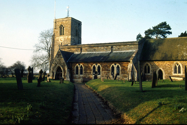
St Helen's Church, Sibbertoft

St Helen's Church is the Church of England parish church of the village of Sibbertoft in Northamptonshire. It is a Grade II* listed building and stands...

Sibbertoft

Sibbertoft is a village and civil parish in West Northamptonshire in England. At the time of the 2001 census, the parish's population (including Sulby...

Have you been to Barn-hill Spinney?

Leave your review of Barn-hill Spinney below (or comments, questions and feedback).