Coombe-hill Spinney
Wood, Forest in Northamptonshire
England
Coombe-hill Spinney

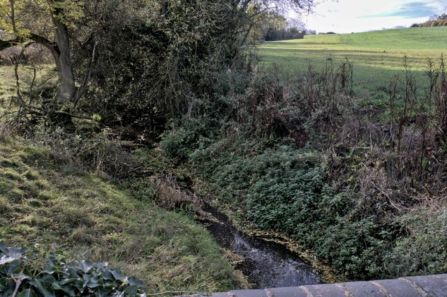
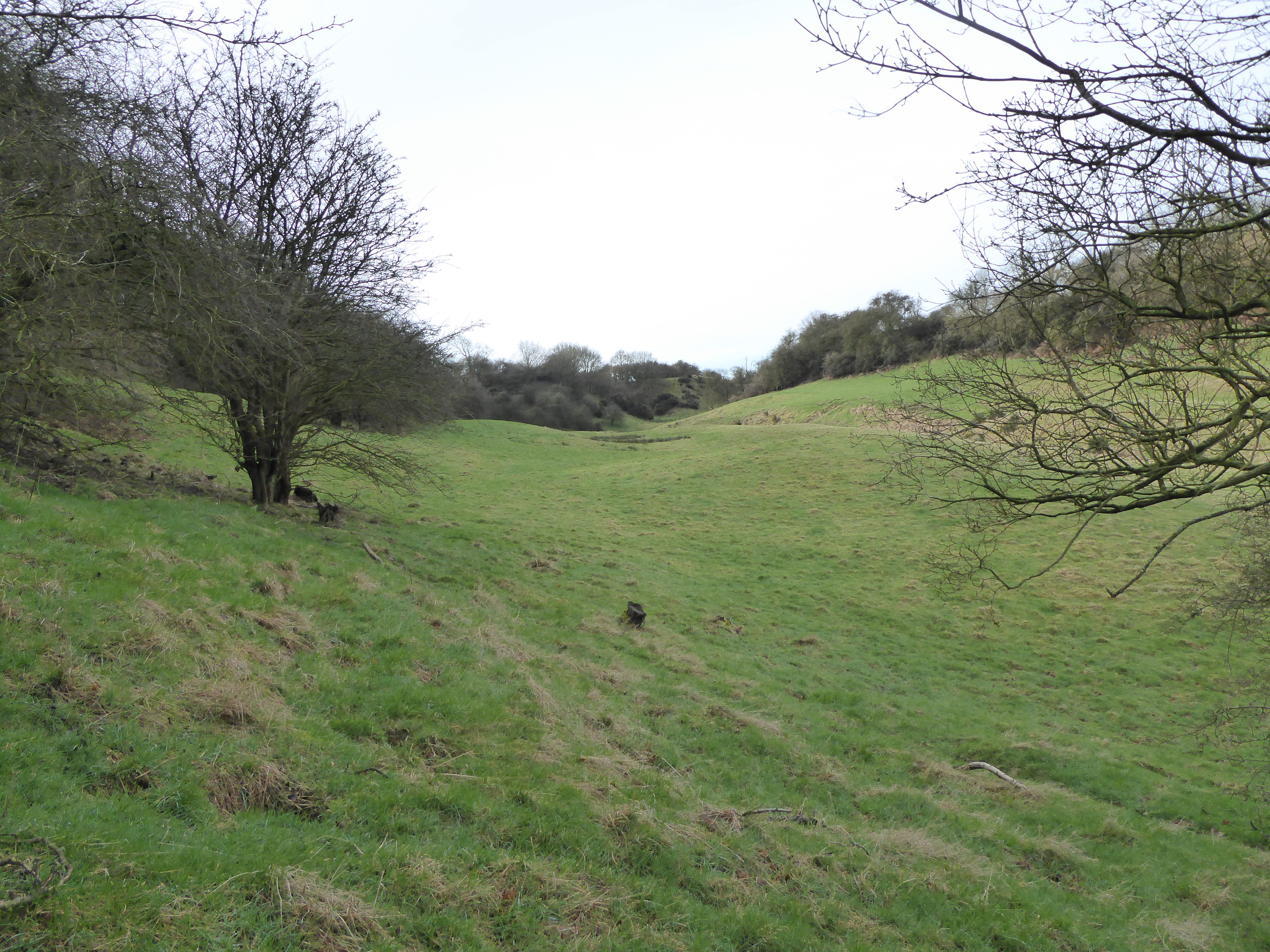
Coombe-hill Spinney is a picturesque woodland located in the county of Northamptonshire, England. Covering an area of approximately 20 acres, it is nestled within the rural landscape, offering a tranquil retreat for nature lovers and outdoor enthusiasts.
The spinney is characterized by its diverse range of tree species, including oak, ash, beech, and birch, which create a dense canopy overhead. This rich variety of trees provides a vibrant display of colors throughout the seasons, with vibrant greens in the spring and summer, and stunning hues of orange and gold in the autumn.
The woodland is home to a thriving ecosystem, hosting a wide array of flora and fauna. Visitors can spot various bird species, such as woodpeckers, thrushes, and owls, as well as small mammals like rabbits, squirrels, and foxes. Additionally, the spinney boasts a vibrant undergrowth, offering a habitat for diverse plant species, including bluebells, wild garlic, and ferns.
Coombe-hill Spinney provides an idyllic setting for leisurely walks and nature exploration. Numerous well-maintained footpaths wind their way through the woodland, allowing visitors to fully immerse themselves in the natural beauty that surrounds them. The peaceful ambiance makes it an ideal spot for birdwatching, photography, or simply unwinding in the tranquil surroundings.
The spinney is easily accessible, with a small car park located nearby, providing convenient access for visitors. It is managed by the local council, ensuring the preservation of its natural beauty and the protection of its inhabitants. Coombe-hill Spinney is a true gem of Northamptonshire, offering a haven for nature enthusiasts seeking solace in the heart of the countryside.
If you have any feedback on the listing, please let us know in the comments section below.
Coombe-hill Spinney Images
Images are sourced within 2km of 52.447544/-1.0042077 or Grid Reference SP6783. Thanks to Geograph Open Source API. All images are credited.


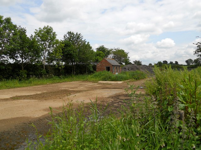
![Theddingworth-Home Farm The road leading into the farm. For a winter view [<a title="https://www.geograph.org.uk/photo/296409" href="https://www.geograph.org.uk/photo/296409">Link</a>]](https://s2.geograph.org.uk/geophotos/02/99/23/2992358_63018b2c.jpg)


Coombe-hill Spinney is located at Grid Ref: SP6783 (Lat: 52.447544, Lng: -1.0042077)
Unitary Authority: West Northamptonshire
Police Authority: Northamptonshire
What 3 Words
///pizza.clotting.outreach. Near Husbands Bosworth, Leicestershire
Nearby Locations
Related Wikis
Coombe Hill Hollow
Coombe Hill Hollow is a 4.3-hectare (11-acre) biological Site of Special Scientific Interest north of Sibbertoft in Northamptonshire.This steep narrow...
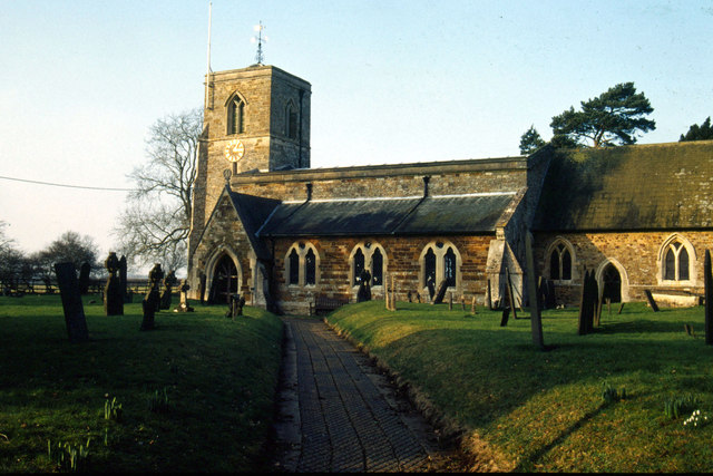
St Helen's Church, Sibbertoft
St Helen's Church is the Church of England parish church of the village of Sibbertoft in Northamptonshire. It is a Grade II* listed building and stands...
Sibbertoft
Sibbertoft is a village and civil parish in West Northamptonshire in England. At the time of the 2001 census, the parish's population (including Sulby...

Hothorpe Hall
Hothorpe Hall, in Northamptonshire, is a Georgian manor house near Market Harborough. It lies in the parish of Marston Trussell in Northamptonshire but...
Marston Trussell
Marston Trussell is a village and civil parish in West Northamptonshire in England. Marston Trussell was first recorded as 'Mersitone', meaning marsh settlement...
Theddingworth
Theddingworth is a village and civil parish in Leicestershire, England. The population of the civil parish at the 2011 census was 217. The parish includes...

Theddingworth railway station
Theddingworth railway station was a railway station serving Theddingworth in the English county of Leicestershire. It was opened on the Rugby and Stamford...

St Nicholas' Church, Marston Trussell
St Nicholas's Church is an Anglican church and the parish church of Marston Trussell in Northamptonshire, England. It is a Grade I listed building and...
Related Videos


Igloo
A short video from Khyam showing how to pitch & strike the Igloo. For more information on this model & to see the entire range of ...
Airtek Kamper Pro 1
Instructional video from Khyam showing how to pitch & strike the AirTek Kamper Pro 1 tent. For more information on this model ...
Nearby Amenities
Located within 500m of 52.447544,-1.0042077Have you been to Coombe-hill Spinney?
Leave your review of Coombe-hill Spinney below (or comments, questions and feedback).