Common Bottom Wood
Wood, Forest in Yorkshire Selby
England
Common Bottom Wood
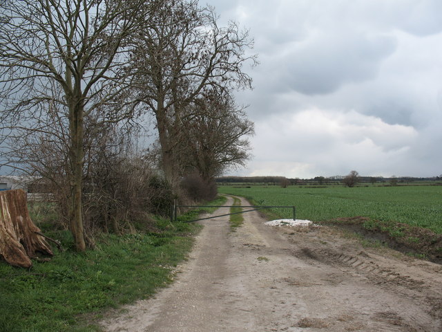
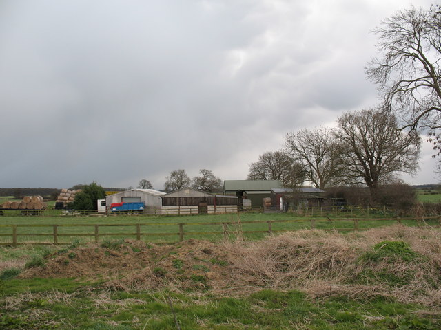
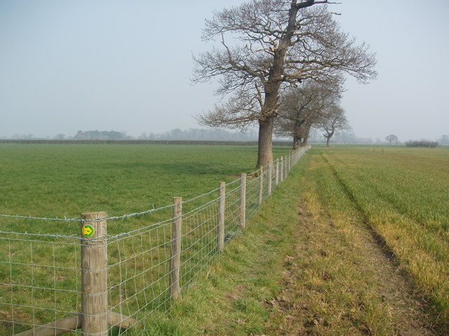
Common Bottom Wood is a picturesque woodland located in the county of Yorkshire, England. Situated near the village of Common Bottom, the wood covers an area of approximately 50 acres. It is known for its diverse range of flora and fauna, making it a popular destination for nature enthusiasts and wildlife lovers.
The wood is predominantly composed of deciduous trees, including oak, ash, and birch. These majestic trees provide a dense canopy, creating a cool and shaded environment. In spring, the woodland floor is carpeted with a vibrant display of bluebells and other wildflowers, adding to its natural beauty.
Common Bottom Wood is home to a variety of wildlife species. Bird watchers can spot common woodland birds such as woodpeckers, thrushes, and owls. The wood also provides a habitat for small mammals like foxes, rabbits, and squirrels. Additionally, the nearby stream attracts water-loving creatures like frogs, newts, and dragonflies.
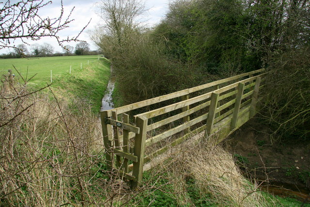
There are several walking trails that wind through the wood, allowing visitors to explore its different sections. These trails offer breathtaking views of the surrounding countryside and provide a tranquil escape from the hustle and bustle of everyday life. The wood is well-maintained, with clear signposts and benches for visitors to rest and appreciate the natural surroundings.
Common Bottom Wood is a cherished natural gem in Yorkshire, attracting both locals and tourists alike. With its striking beauty and abundant wildlife, it offers a serene and peaceful retreat for those seeking a connection with nature.
If you have any feedback on the listing, please let us know in the comments section below.
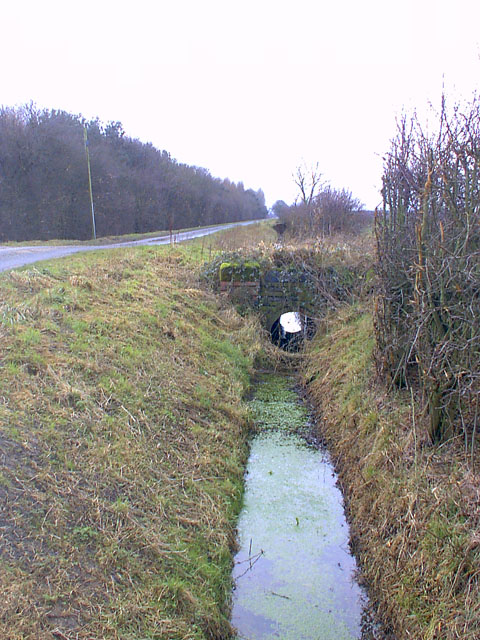
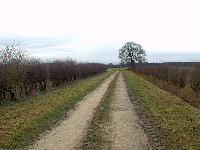
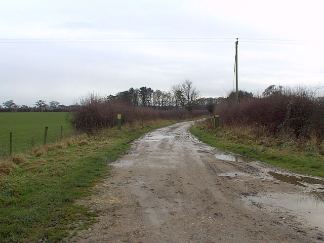
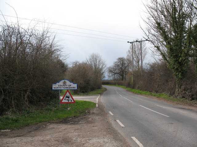
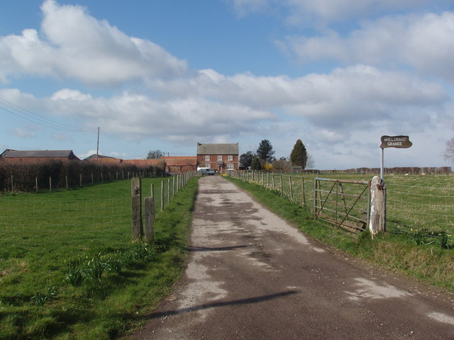
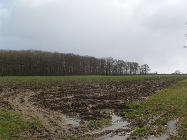
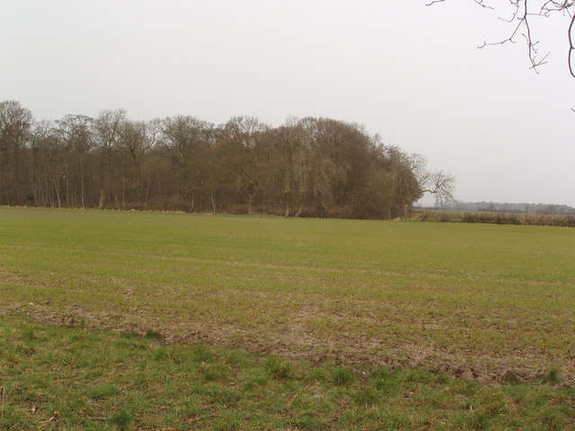
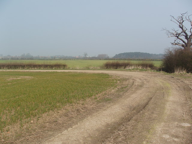
Common Bottom Wood Images
Images are sourced within 2km of 53.874494/-0.97612131 or Grid Reference SE6742. Thanks to Geograph Open Source API. All images are credited.
Common Bottom Wood is located at Grid Ref: SE6742 (Lat: 53.874494, Lng: -0.97612131)
Division: East Riding
Administrative County: North Yorkshire
District: Selby
Police Authority: North Yorkshire
What 3 Words
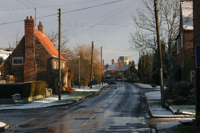
///inner.litigate.hamsters. Near Wheldrake, North Yorkshire
Nearby Locations
Related Wikis

Cottingwith railway station
Cottingwith railway station served the village of East Cottingwith, East Riding of Yorkshire, England from 1913 to 1964 on the Derwent Valley Light Railway...
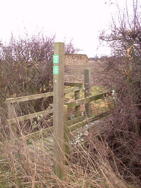
Thorganby railway station
Thorganby railway station served the village of Thorganby, North Yorkshire, England from 1912 to 1964 on the Derwent Valley Light Railway. The station...

Thorganby, North Yorkshire
Thorganby is a small village and civil parish in North Yorkshire, England. It was historically part of the East Riding of Yorkshire until 1974, but from...

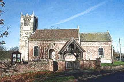
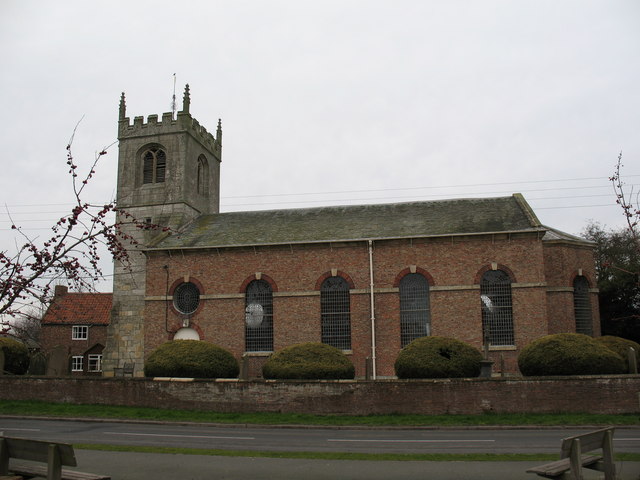
St Helen's Church, Thorganby
St Helen's Church is the parish church of Thorganby, a village in the Selby district of North Yorkshire, in England. A church in Thorganby was first recorded...

Wheldrake railway station
Wheldrake railway station served the village of Wheldrake, East Riding of Yorkshire, England from 1913 to 1968 on the Derwent Valley Light Railway. �...

Thicket Priory
Thicket Priory is a religious house in the civil parish of Thorganby, North Yorkshire, England, located about 7 miles (11.3 km) south-east of York. It...
Wheldrake
Wheldrake is a village and civil parish located 7 miles (11 km) south-east of York in the unitary authority of the City of York, which is in the ceremonial...
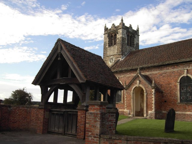
St Helen's Church, Wheldrake
St Helen's Church is the parish church in Wheldrake, a village in the rural south-eastern part of the City of York, in England. The oldest part of the...
Nearby Amenities
Located within 500m of 53.874494,-0.97612131Have you been to Common Bottom Wood?
Leave your review of Common Bottom Wood below (or comments, questions and feedback).