South Moor Wood
Wood, Forest in Yorkshire Selby
England
South Moor Wood
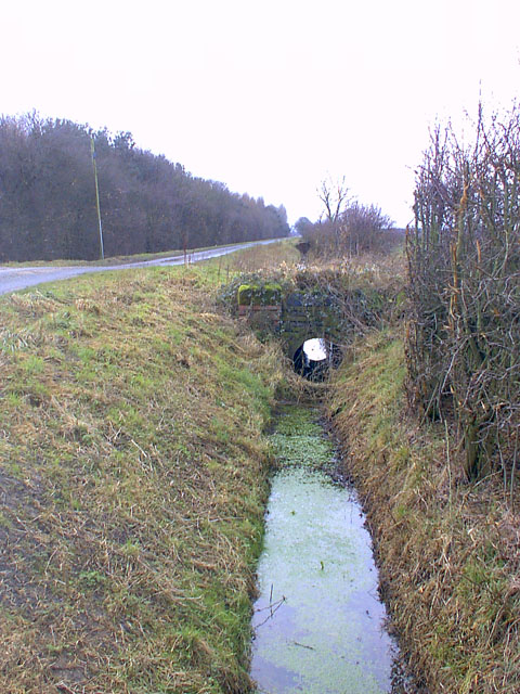
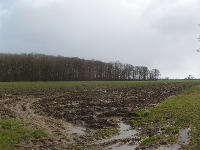
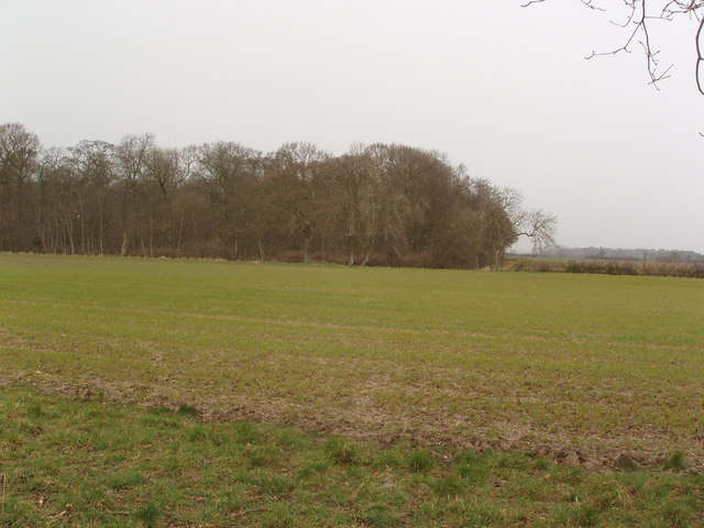
South Moor Wood is a picturesque woodland located in Yorkshire, England. Covering an area of approximately 200 acres, this enchanting forest is a haven for nature lovers and outdoor enthusiasts alike. The wood is situated near the village of South Moor, which is part of the larger town of Barnsley.
The wood boasts a diverse range of flora and fauna, with a rich variety of trees including oak, birch, beech, and ash. The forest floor is adorned with a carpet of bluebells during the spring season, creating a stunning and vibrant display. The wood is also home to a number of wildlife species, such as deer, squirrels, badgers, and a plethora of bird species.
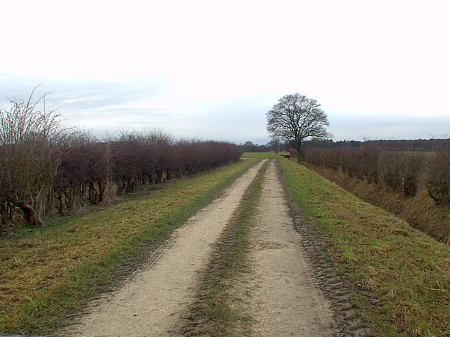
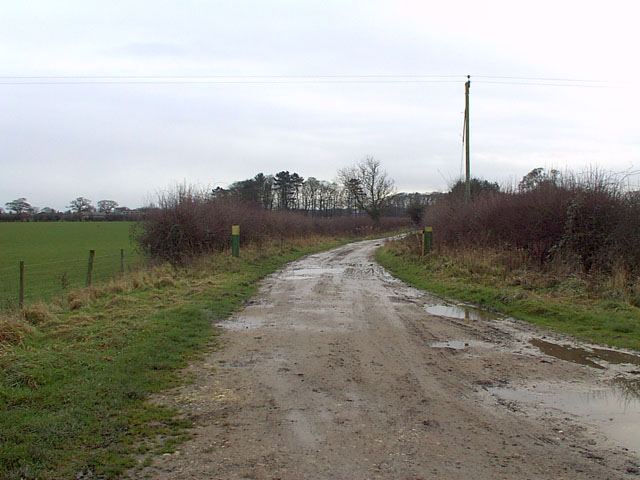
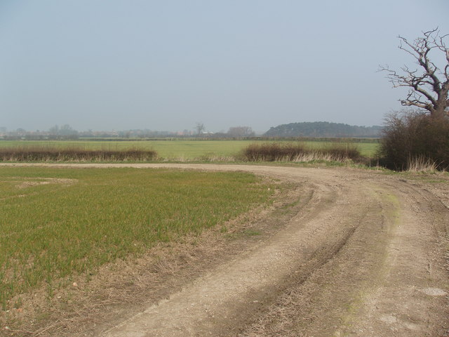
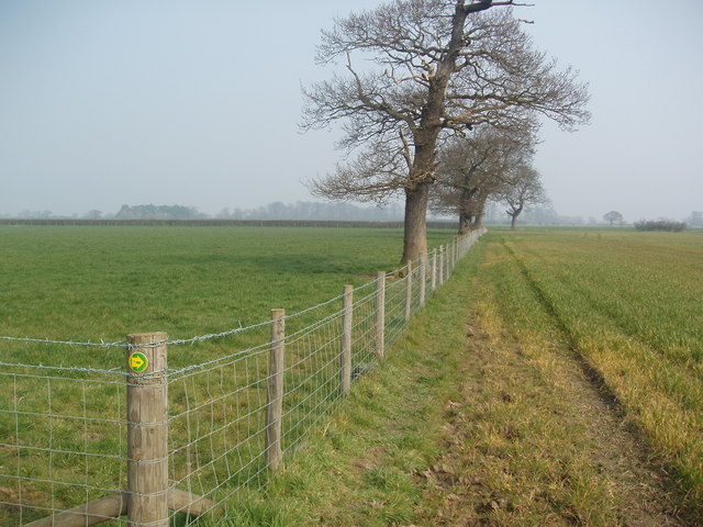
The enchanting atmosphere of South Moor Wood attracts visitors throughout the year, who come to explore the network of well-maintained trails and pathways that wind through the forest. These trails offer the perfect opportunity for a leisurely stroll, jog, or cycle ride amidst the tranquility of nature.
South Moor Wood also provides educational opportunities, with guided tours and nature walks available to visitors of all ages. These tours are led by knowledgeable guides who provide insight into the history, ecology, and conservation efforts of the wood.
Overall, South Moor Wood is a hidden gem in Yorkshire, offering a peaceful escape from the hustle and bustle of daily life. Its natural beauty, diverse wildlife, and accessibility make it a popular destination for both locals and tourists seeking to reconnect with nature.
If you have any feedback on the listing, please let us know in the comments section below.
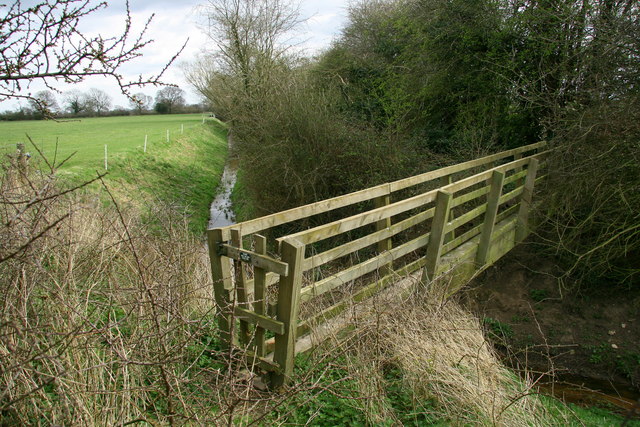
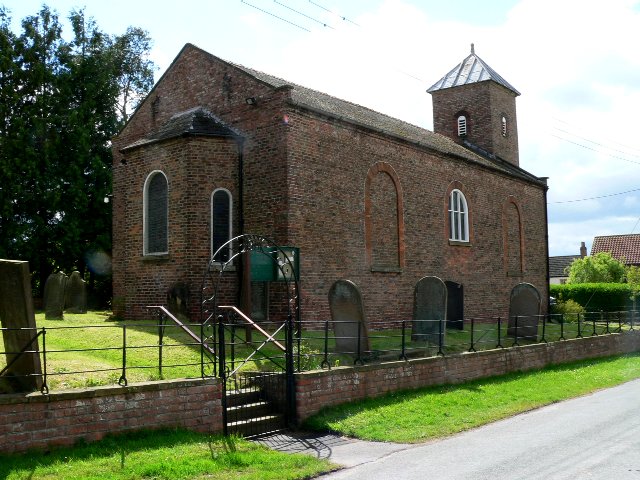
South Moor Wood Images
Images are sourced within 2km of 53.870557/-0.96771573 or Grid Reference SE6742. Thanks to Geograph Open Source API. All images are credited.


South Moor Wood is located at Grid Ref: SE6742 (Lat: 53.870557, Lng: -0.96771573)
Division: East Riding
Administrative County: North Yorkshire
District: Selby
Police Authority: North Yorkshire
What 3 Words
///reminds.influence.taken. Near Wheldrake, North Yorkshire
Nearby Locations
Related Wikis

Cottingwith railway station
Cottingwith railway station served the village of East Cottingwith, East Riding of Yorkshire, England from 1913 to 1964 on the Derwent Valley Light Railway...

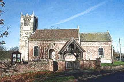
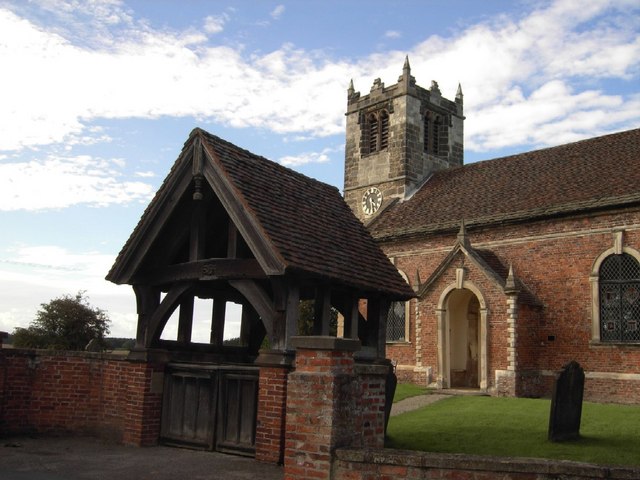
St Helen's Church, Thorganby
St Helen's Church is the parish church of Thorganby, a village in the Selby district of North Yorkshire, in England. A church in Thorganby was first recorded...

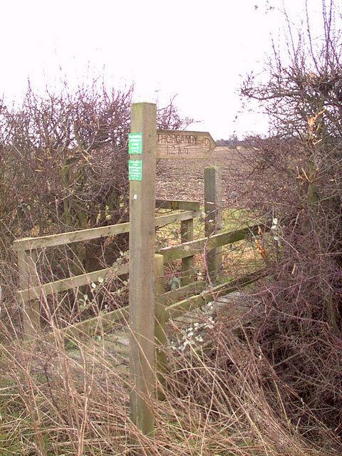
Thorganby, North Yorkshire
Thorganby is a small village and civil parish in North Yorkshire, England. It was historically part of the East Riding of Yorkshire until 1974, but from...
Thorganby railway station
Thorganby railway station served the village of Thorganby, North Yorkshire, England from 1912 to 1964 on the Derwent Valley Light Railway. The station...

Thicket Priory
Thicket Priory is a religious house in the civil parish of Thorganby, North Yorkshire, England, located about 7 miles (11.3 km) south-east of York. It...
East Cottingwith
East Cottingwith is a village and former civil parish, now in the parish of Cottingwith, in the East Riding of Yorkshire, England. It lies on the former...

Wheldrake railway station
Wheldrake railway station served the village of Wheldrake, East Riding of Yorkshire, England from 1913 to 1968 on the Derwent Valley Light Railway. �...

Derwent Rural District
Derwent was a rural district in the East Riding of Yorkshire from 1935 to 1974.It was created under a County Review Order in 1935, from most of the Escrick...
Have you been to South Moor Wood?
Leave your review of South Moor Wood below (or comments, questions and feedback).