Westhow Field
Downs, Moorland in Yorkshire Selby
England
Westhow Field
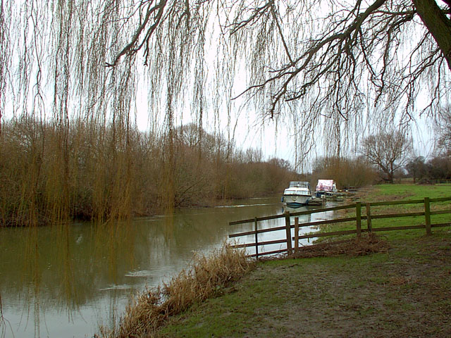
Westhow Field is a picturesque and expansive area situated in the heart of Yorkshire, England. Nestled between the majestic Yorkshire Downs and the vast Moorland, it offers a breathtaking natural landscape that attracts visitors from far and wide.
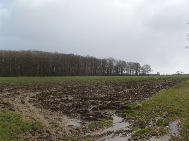
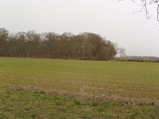
Covering an area of approximately 500 acres, Westhow Field boasts a diverse range of habitats, making it a haven for wildlife enthusiasts and nature lovers. The rolling hills of the Yorkshire Downs provide a stunning backdrop, with their lush greenery and panoramic views. The moorland, on the other hand, offers a rugged and untamed beauty, with its vast expanses of heather and gorse.
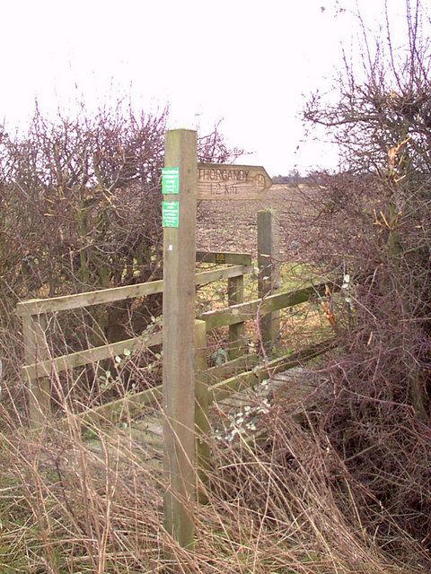
The field is crisscrossed by a network of footpaths and trails, allowing visitors to explore its beauty at their leisure. Hikers and walkers can enjoy the tranquility of the countryside, while birdwatchers can spot a variety of avian species, including red grouse, curlews, and skylarks. The field is also home to a rich diversity of flora, with an array of wildflowers, including bluebells and primroses, dotting the landscape.
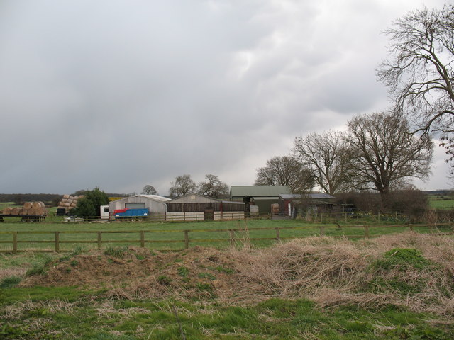
Westhow Field is not only a natural paradise but also plays an important role in the local agricultural community. The fertile soil supports a variety of crops, including barley and wheat, which are cultivated by local farmers. Traditional stone walls and hedgerows divide the field into smaller plots, adding to its charm and character.
Overall, Westhow Field is a captivating destination that showcases the beauty and diversity of the Yorkshire countryside. Whether it's a leisurely stroll, a challenging hike, or simply a desire to reconnect with nature, this idyllic location offers something for everyone.
If you have any feedback on the listing, please let us know in the comments section below.
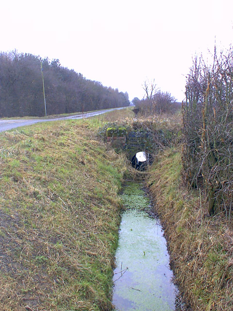
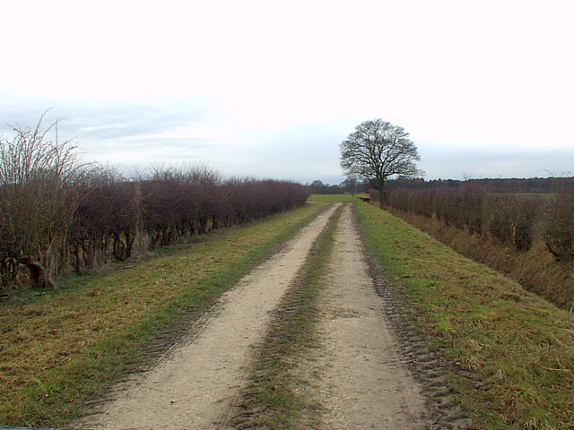
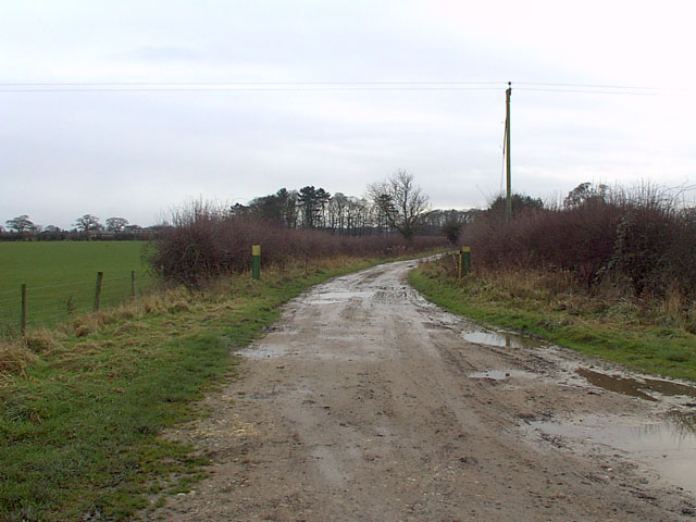
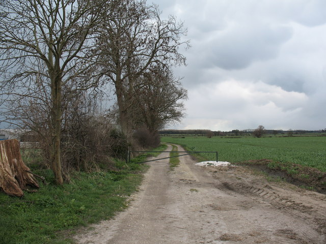
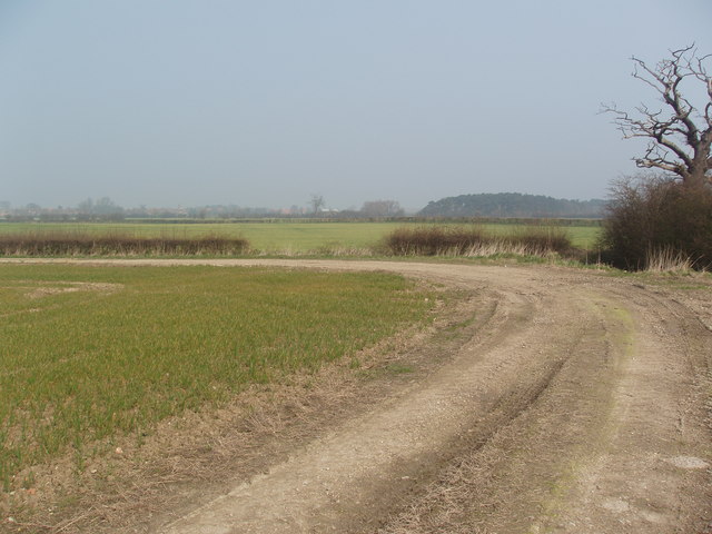
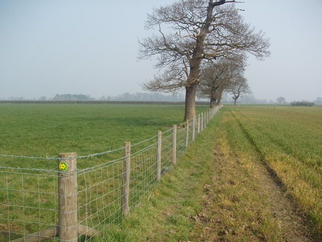
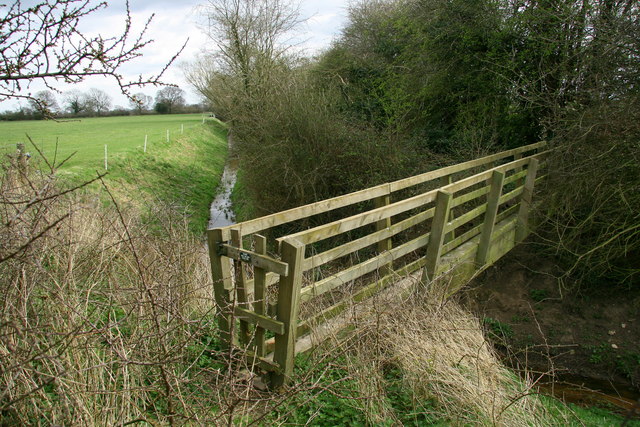
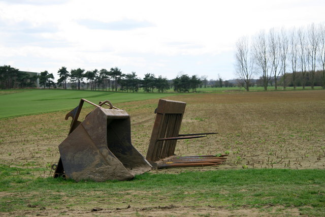
Westhow Field Images
Images are sourced within 2km of 53.873164/-0.96978092 or Grid Reference SE6742. Thanks to Geograph Open Source API. All images are credited.


Westhow Field is located at Grid Ref: SE6742 (Lat: 53.873164, Lng: -0.96978092)
Division: East Riding
Administrative County: North Yorkshire
District: Selby
Police Authority: North Yorkshire
What 3 Words
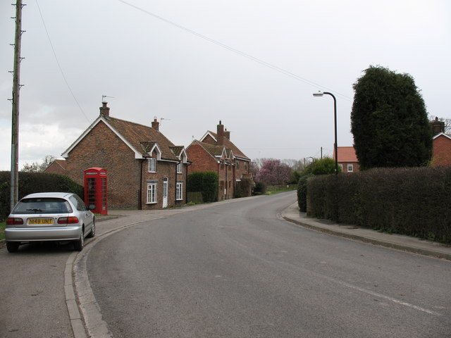
///frock.bathtubs.bashful. Near Wheldrake, North Yorkshire
Nearby Locations
Related Wikis

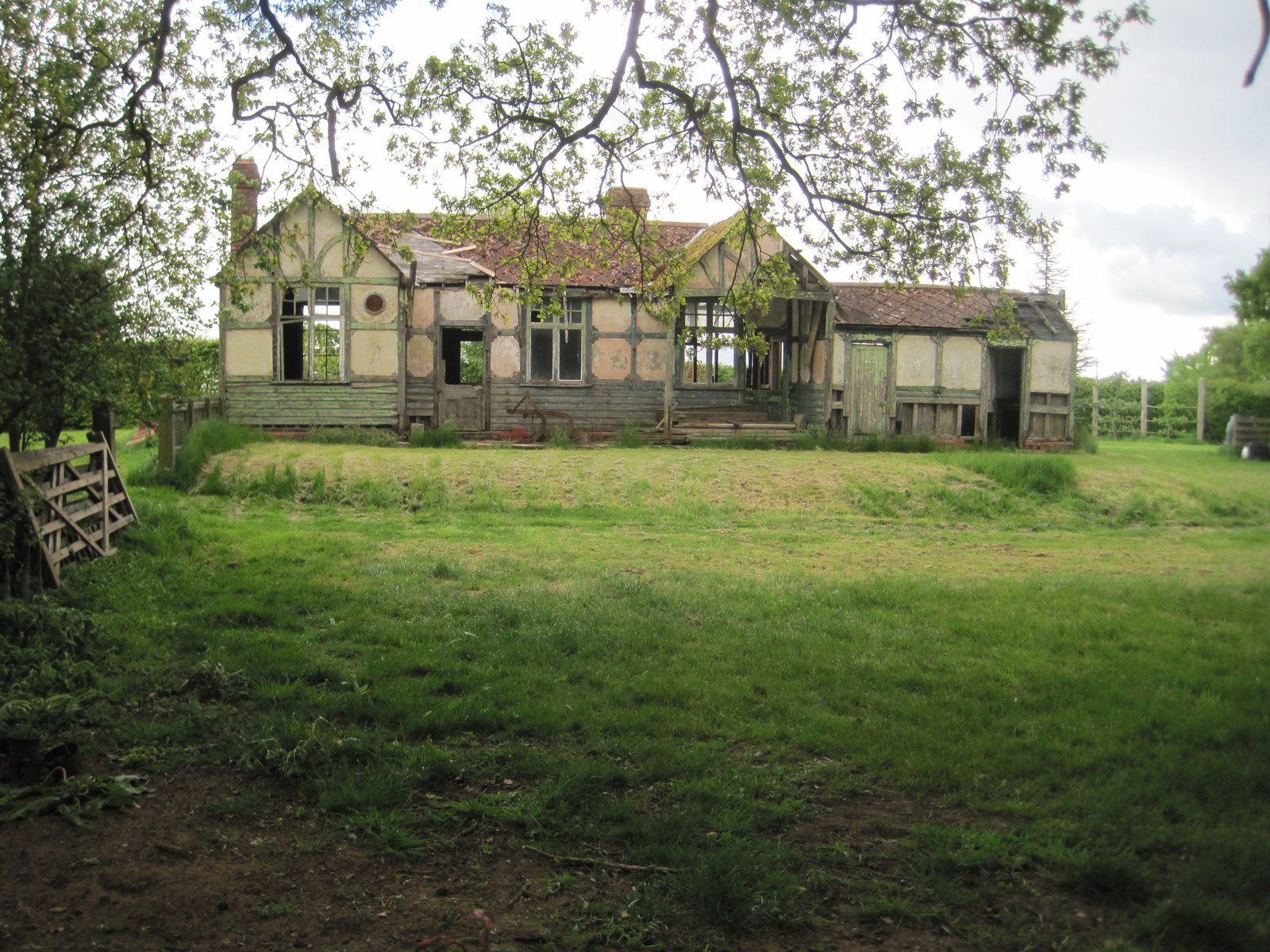
Cottingwith railway station
Cottingwith railway station served the village of East Cottingwith, East Riding of Yorkshire, England from 1913 to 1964 on the Derwent Valley Light Railway...

Thorganby, North Yorkshire
Thorganby is a small village and civil parish in North Yorkshire, England. It was historically part of the East Riding of Yorkshire until 1974, but from...

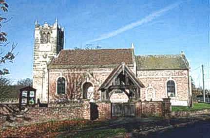
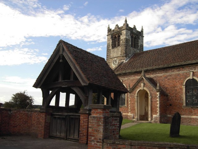
St Helen's Church, Thorganby
St Helen's Church is the parish church of Thorganby, a village in the Selby district of North Yorkshire, in England. A church in Thorganby was first recorded...
Thorganby railway station
Thorganby railway station served the village of Thorganby, North Yorkshire, England from 1912 to 1964 on the Derwent Valley Light Railway. The station...
Nearby Amenities
Located within 500m of 53.873164,-0.96978092Have you been to Westhow Field?
Leave your review of Westhow Field below (or comments, questions and feedback).