Low Moor
Downs, Moorland in Yorkshire Selby
England
Low Moor

Low Moor is a small village located in the metropolitan borough of Bradford, West Yorkshire, England. Situated in the Aire Valley, it is part of the larger area known as Low Moor, which encompasses surrounding towns such as Wyke, Odsal, and Wibsey. The village is nestled between the Pennine Hills to the west and the River Aire to the east.
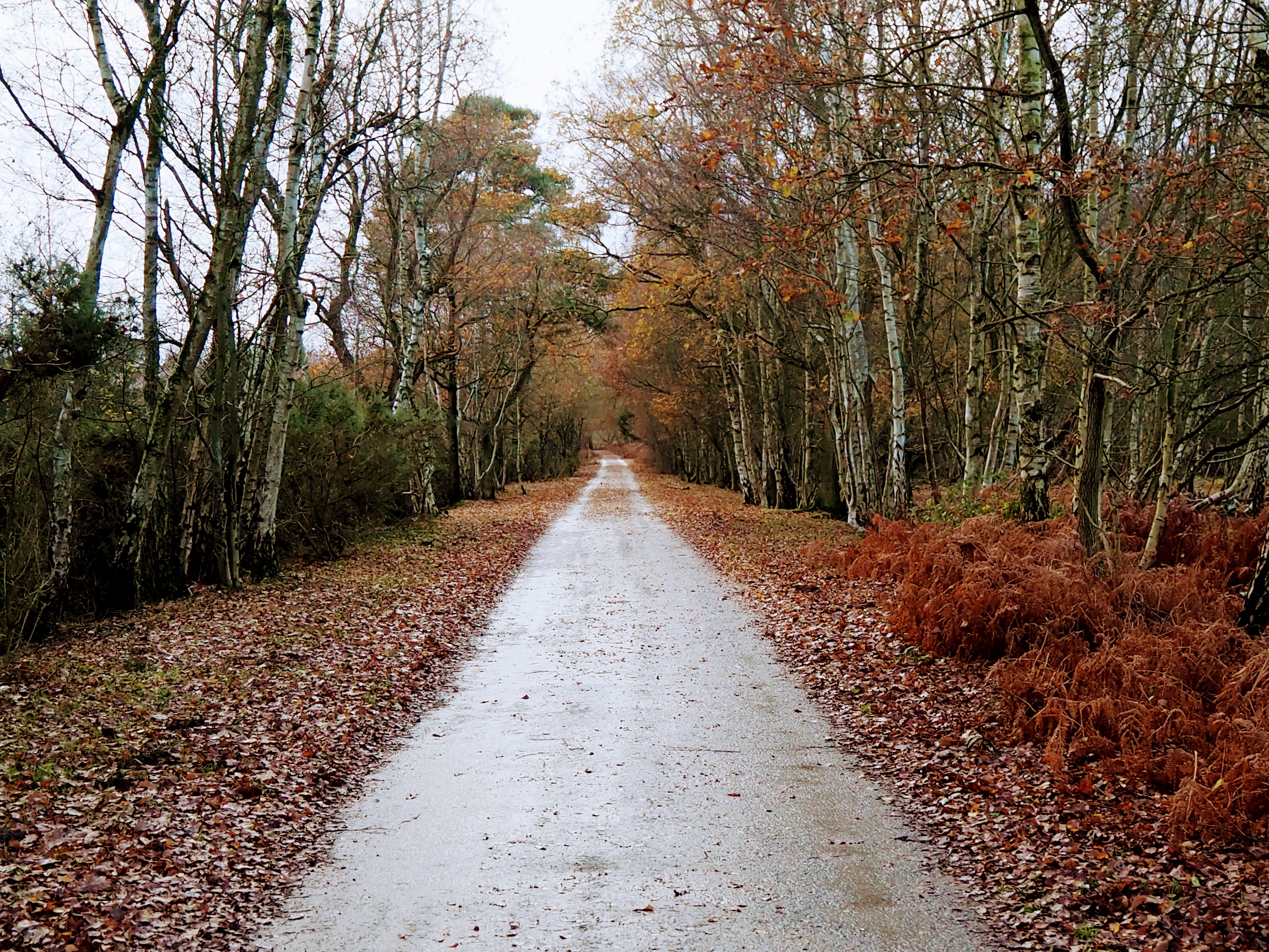
Low Moor is characterized by its diverse landscape, consisting of both lowland areas and moorland terrain. The moorland, which stretches across the higher elevations of the village, is a prominent feature and provides stunning panoramic views of the surrounding countryside. These moors are rich in flora and fauna, including heather, grasses, and various bird species such as curlews and lapwings.
Historically, Low Moor was primarily an industrial area, renowned for its coal mining and ironworks. However, in recent years, the village has undergone significant regeneration efforts, resulting in the development of residential areas and the restoration of historical buildings. One notable landmark is the Grade II listed St. Mark's Church, an architectural gem dating back to the 19th century.
The village enjoys a close-knit community, with a range of amenities and services, including local shops, schools, and recreational facilities. It benefits from excellent transport links, with nearby train stations and major road networks providing convenient access to neighboring towns and cities.
In summary, Low Moor offers a charming blend of natural beauty, historical significance, and modern amenities, making it an attractive place to live or visit for those seeking a peaceful and picturesque setting in Yorkshire.
If you have any feedback on the listing, please let us know in the comments section below.
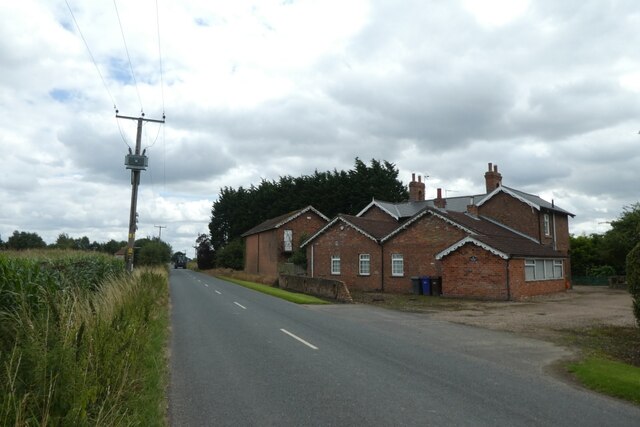
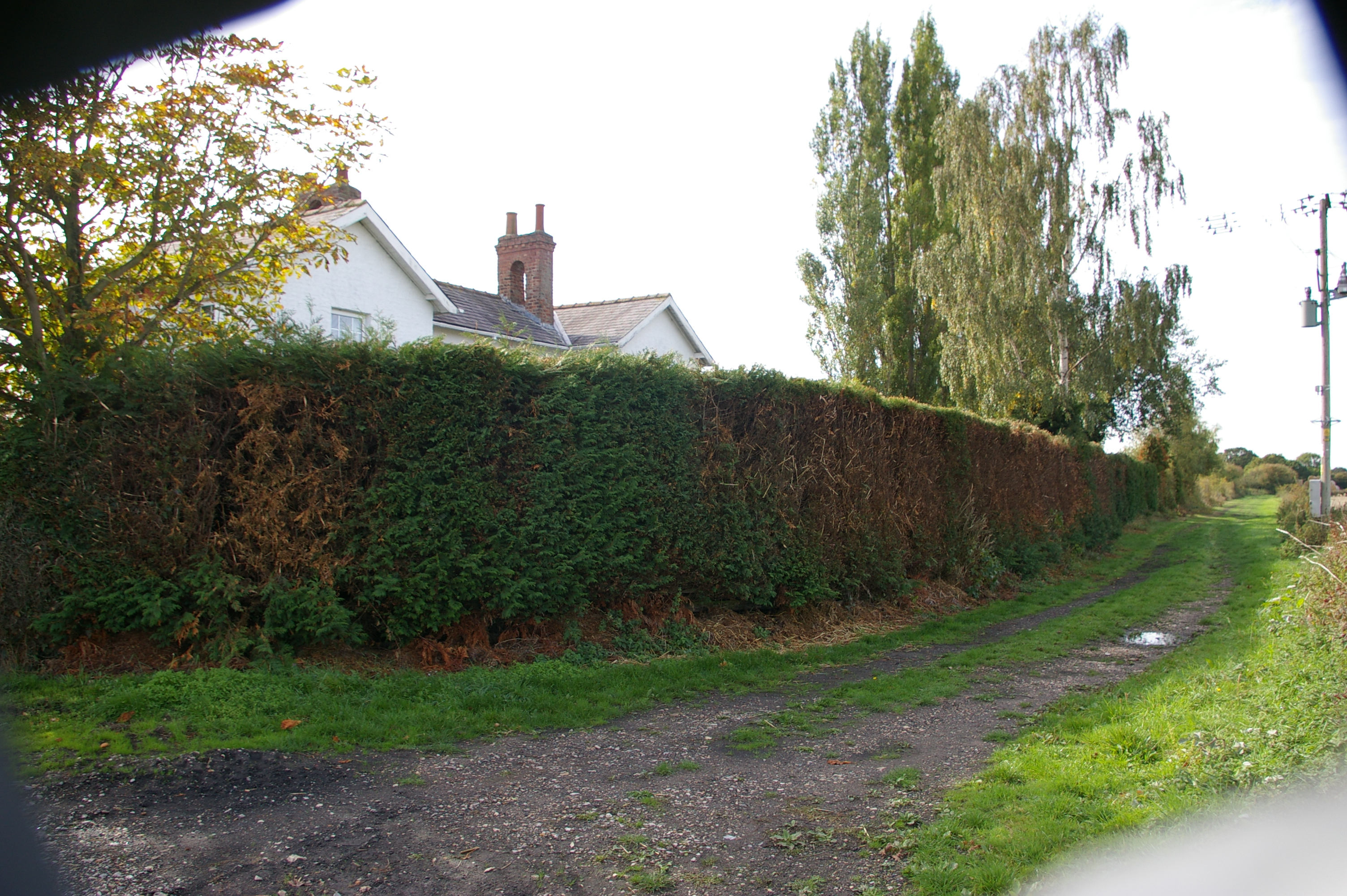
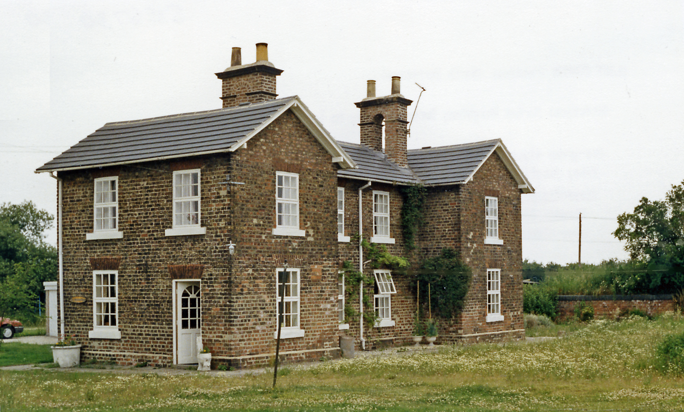
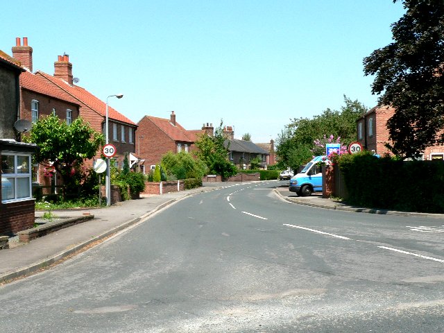
Low Moor Images
Images are sourced within 2km of 53.806977/-0.97966507 or Grid Reference SE6735. Thanks to Geograph Open Source API. All images are credited.


Low Moor is located at Grid Ref: SE6735 (Lat: 53.806977, Lng: -0.97966507)
Division: East Riding
Administrative County: North Yorkshire
District: Selby
Police Authority: North Yorkshire
What 3 Words
///unstable.tapes.enveloped. Near North Duffield, North Yorkshire
Nearby Locations
Related Wikis
Duffield Gate railway station
Duffield Gate railway station was a station on the Selby to Driffield Line in North Yorkshire, England, serving the hamlet of South Duffield. It opened...
Cliffe Common railway station
Cliffe Common railway station, also known as Cliff Common, formerly Cliff Common Gate, served the village of Cliffe, Selby, England from 1848 to 1964 on...

Menthorpe Gate railway station
Menthorpe Gate railway station was a station on the Selby to Driffield Line in North Yorkshire, England serving the village of North Duffield and the hamlets...
North Duffield
North Duffield is a village and civil parish in the Selby District of North Yorkshire, England. It was historically part of the East Riding of Yorkshire...
Skipwith Common
Skipwith Common is a national nature reserve south of Skipwith, North Yorkshire, England. It is one of only three areas within the Vale of York that represent...

Ouse and Derwent
Ouse and Derwent was a wapentake of the historic East Riding of Yorkshire, England consisting of the westerly part of the county, between the River Ouse...

Menthorpe
Menthorpe is a hamlet in the civil parish of North Duffield in North Yorkshire, England. It lies on the west bank of the River Derwent, 6 miles (10 km...

Cliffe, Selby
Cliffe is a small village and civil parish in North Yorkshire, England. It was historically part of the East Riding of Yorkshire until 1974, but from...
Nearby Amenities
Located within 500m of 53.806977,-0.97966507Have you been to Low Moor?
Leave your review of Low Moor below (or comments, questions and feedback).